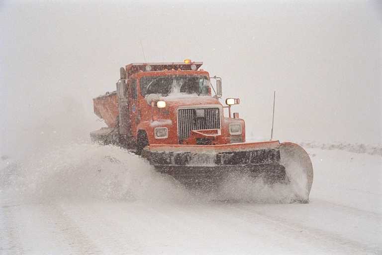
Beartooth Pass (US-212) in Montana and Wyoming closed yesterday at 8am and continues to be closed today due to “Snow & ice, blowing and drifting,” according to Montana DOT.
Beartooth Pass is completely closed on the Wyoming side and closed at Vista Point on the Montana side.
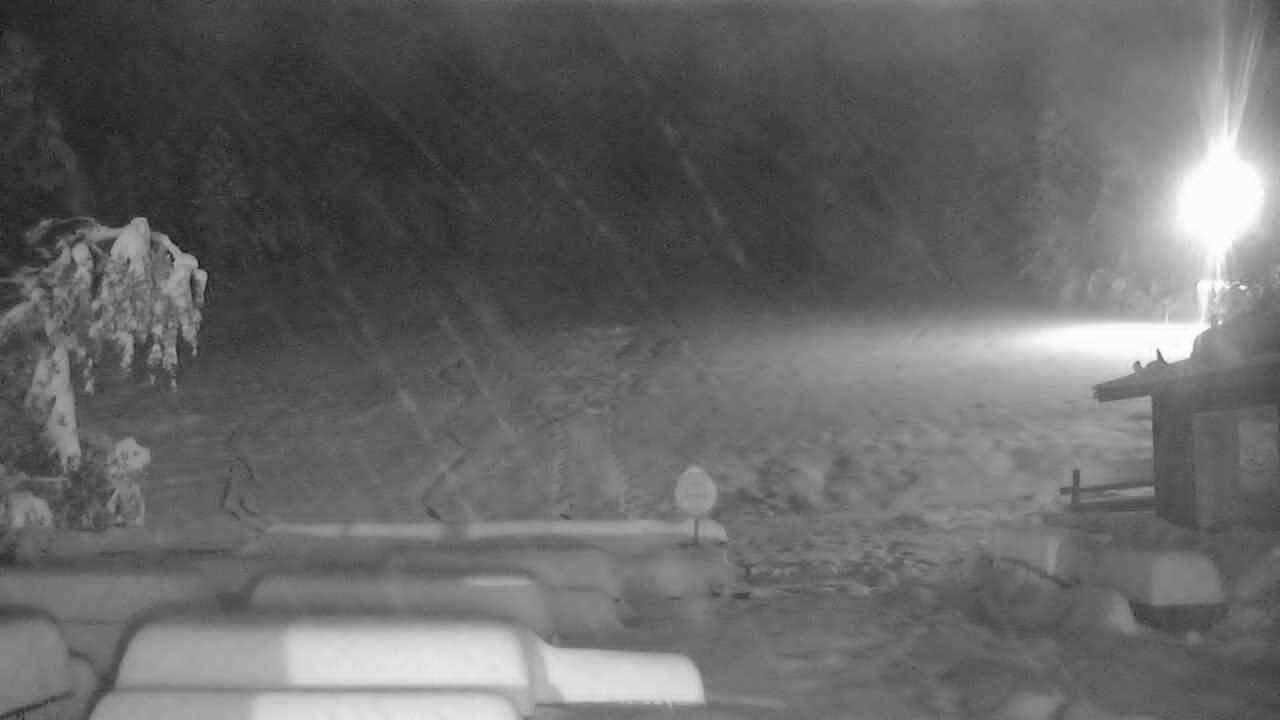
A snowstorm came through Montana and Wyoming yesterday and left new snow at Red Mountain Lodge ski area, Beartooth Basin ski area, Showdown Montana ski area, Big Sky ski resort, Great Divide ski area, and more.
A Winter Storm Warning has been in effect for Montana and Wyoming since Thursday that expires today at noon.
An unseasonably cold weather system being fed by a moisture laden stream of Pacific
moisture will result in snowfall accumulation across the mountains of Western and
Central Wyoming through this morning." - NOAA Riverton, WY today
US-212 BEARTOOTH PASS SOUTH OF RED LODGE IS CLOSED AT VISTA POINT TO STATELINE
BEARTOOTH PASS CLOSED AT VISTA PT starting on September 15, 2017 at 08:00 AM
THE PASS IS COMPLETELY CLOSED ON WYOMING SIDE. ON MT SIDE IT IS CLOSED FROM VISTA PT UP TO THE STATELINE. TRAVELERS LEAVING RED LODGE WILL NEED TO TURN AROUND AT VISTA PT AND RETURN TO RED LODGE. CONDITIONS FROM RED LODGE TO VISTA ARE WET/SCATTERED SLUSH. FROM VISTA PT TO STATELINE THEY ARE SNOW & ICE, BLOWING AND DRIFTING.
- Montana DOT

Winter Storm Warning for Montana/Wyoming:
URGENT - WINTER WEATHER MESSAGE
National Weather Service Riverton WY
1253 AM MDT Sat Sep 16 2017

...Early season snowstorm for the Western and Central Wyoming
Mountains through this morning...

.An unseasonably cold weather system being fed by a moisture
laden stream of Pacific moisture will result in snowfall
accumulation across the mountains of Western and Central Wyoming
through this morning.

Absaroka Mountains-Wind River Mountains East-
1253 AM MDT Sat Sep 16 2017

...WINTER STORM WARNING REMAINS IN EFFECT UNTIL NOON MDT TODAY...

* TIMING...Precipiation will continue, but decrease from south to
  north, through this morning with snow levels lowering to around
  7500 feet in the Absaroka Mountains and down to 8000 feet along
  the East Slope of the Wind River Mountains. Snow will decrease
  from south to north through this morning.

* Snow Amounts...3 to 7 inches above 8500 feet with localized
  amounts up to a foot above 10000 feet.

* MAIN IMPACT...Highway 26 along Togwotee Pass and Highway 296 in
  the Absaroka Mountains along Dead Indian Pass will become slick
  or possibly snow covered, making travel difficult at times.

* OTHER IMPACTS...Hikers and campers should prepare for sharply
  colder weather along with potential snow accumulations on
  hiking trails.