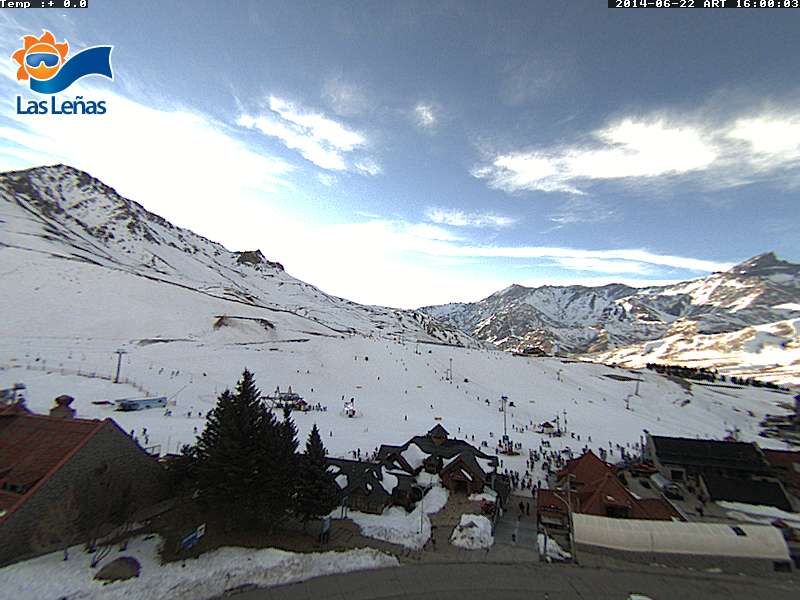
The pattern change that was advertised in the last post for the 21st so far has amounted to some clouds and a pretty significant cool down but no snow. Currently we have a split flow with a zonal southern stream, with 3 short waves moving into southern Chile and Patagonia the next three days. On the northern stream the disturbances are trying to come through the ridge and are getting cut off and break apart as they spill over the Andes. The first disturbance came through Saturday night cooling things down. The next short wave is due in on Wednesday the 25th, exact track is critical for Las Lenas to maybe squeak out 1-2 inches. Beyond that in the short term is another warm up.
Even though the temperatures warmed up quite a bit this last week the low sun angle is keeping the southern exposures in good shape.
Long Range Forecast
The long range forecast looks very interesting. There is an elongated ridge that wants to stand up retrograde and amplify providing the steering mechanism for what appears to be a significant storm. On the 1st of July a storm moves into Patagonia and then drives north up the coast of Chile hitting Las Lenas on the 2nd and extending into the 4th as it drives well into the northern Andes. The split consolidates with a strong 160 km jet streak pointed at the northern Andes. The models are becoming extremely bullish with the dynamics of this storm, confidence is growing that this is going to be a significant event. The ridge buckles and then re-amplifies possibly allowing another storm for the seventh. Confidence is much lower for the second storm mostly on the timing since it is at the very end of the long range, but can’t sit on the sidelines any longer waiting for the models to get their act together.
Fantasy Charts
Currently the Climate Forecasting System (CFS) supports the idea of a storm at the end of the long range period. A continuation of storms during the second week of July with a series of potentially extremely strong storms during the third week of July. The fourth week of July looks quieter with only a couple of moderate storms popping up. If this current outlook were to hold July is going to be off the hook! The fantasy charts have been consistently wet with a few drier runs mixed in, but have been trending wetter as of late. The CFS performance level has been outstanding the last several months. The belief is it is just now starting to pick up on the signals El Nino is creating as the warm waters reach the surface and begins to react with the atmosphere. The Austral Winter has definitely begun!