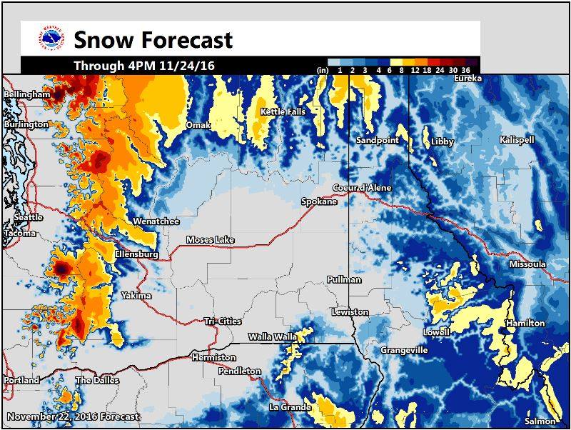
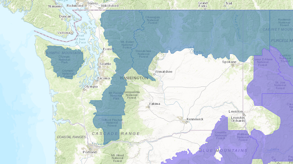
NOAA has issued Winter Storm Warnings all over Washington today and tomorrow.
These Warnings are calling for 6-12″ of snow at pass levels and 12-24″ of snow on the volcanoes.
* ACCUMULATION...1 TO 3 INCHES OF NEW SNOW THIS MORNING. AN
  ADDITIONAL 1-2 FEET OF NEW SNOW IS POSSIBLE LATER TONIGHT
  THROUGH THANKSGIVING DAY OVER THE VOLCANOES WITH 6-12 INCHES IN
  THE PASSES.
- NOAA Seattle, WA today
Snow levels will be as low as 3,000′, which is key as Mt. Baker ski area’s base is at 3,000′ and the base of Crystal Mountain is 5,000′.
* SNOW LEVEL...AROUND 3000 FEET.
- NOAA Seattle, WA today
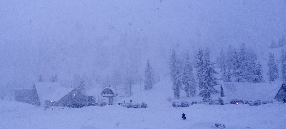
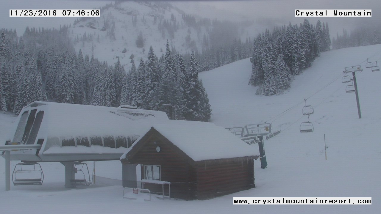
Crystal Mountain, WA will be opening this Friday, November 25th and it will be a powder day…
Mt. Baker will open Friday as well.
“OPENING DAY: FRIDAY NOV. 25th!!!
Hope your gear is ready and your skiing and riding muscles are warmed up, because the forecast looks fantastic and Mt. Baker Ski Area’s opening day will be this Friday Nov. 25th!!! We are expecting significant new snowfall by Friday mid-day with continued cold temperatures! This will allow us to do a limited opening on Friday out of the Heather Meadows Base Area with Chairs 1, 2 & 3 open. We are expecting to expand operations on Saturday with both base areas open and more chairlifts operating. This, of course, will depend on if the snow falls according to current forecasts, but after talking to the forecasters at NWAC and NOAA we are optimistic that conditions should be great for a fantastic, fun opening weekend!” – Mt. Baker ski area, today
“Next, the mountains look to get a good dose of snow starting tonight and lasting into the weekend. Snow levels will be around 3000 feet tonight, then drop to 2500 feet by Thanksgiving. Those planning travel over the passes should be prepared for winter driving conditions, and should check the pass conditions before they head out.” – NOAA Seattle, WA yesterday
WINTER STORM WARNING for WASHINGTON:
URGENT - WINTER WEATHER MESSAGE
NATIONAL WEATHER SERVICE SEATTLE WA
312 AM PST WED NOV 23 2016

CASCADES OF WHATCOM AND SKAGIT COUNTIES-
CASCADES OF PIERCE AND LEWIS COUNTIES-

...WINTER WEATHER ADVISORY REMAINS IN EFFECT UNTIL 7 AM PST THIS
MORNING...
...WINTER STORM WATCH REMAINS IN EFFECT FROM LATE TONIGHT THROUGH
THURSDAY AFTERNOON...

* TIMING...SNOW WILL TAPER THIS MORNING...THEN DEVELOP AGAIN
  TONIGHT AND PERSIST THROUGH THANKSGIVING DAY.

* SNOW LEVEL...AROUND 3000 FEET.

* ACCUMULATION...1 TO 3 INCHES OF NEW SNOW THIS MORNING. AN
  ADDITIONAL 1-2 FEET OF NEW SNOW IS POSSIBLE LATER TONIGHT
  THROUGH THANKSGIVING DAY OVER THE VOLCANOES WITH 6-12 INCHES IN
  THE PASSES.

* MAIN IMPACT...TRAVEL INTO THE CASCADES MAY BE DIFFICULT.
One thought on “NOAA: Winter Storm Watch for Washington Today & Tomorrow | 6-24″ of Snow Forecast”