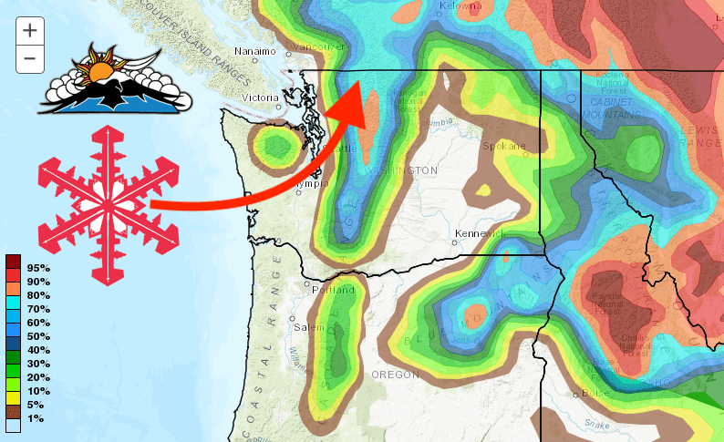
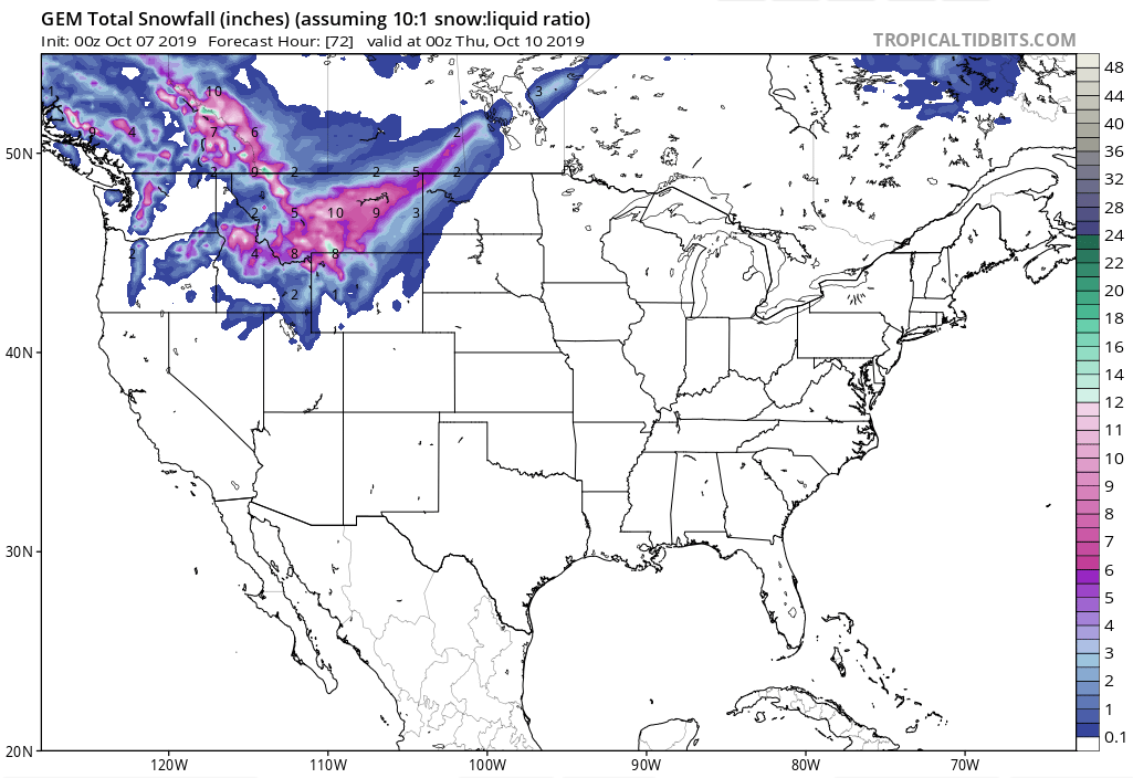
A new system will move into Washington Monday through Tuesday, bringing high winds, cold temperatures and up to 4-FEET of fresh snowfall to the Cascades.
Snow levels are forecast to drop as low as 3,000 feet which will mean snow for Crystal Mountain, Stevens Pass, & Mt. Baker ski resorts.
The NOAA is forecasting high winds, cold temperatures, and a 100% chance of precipitation.
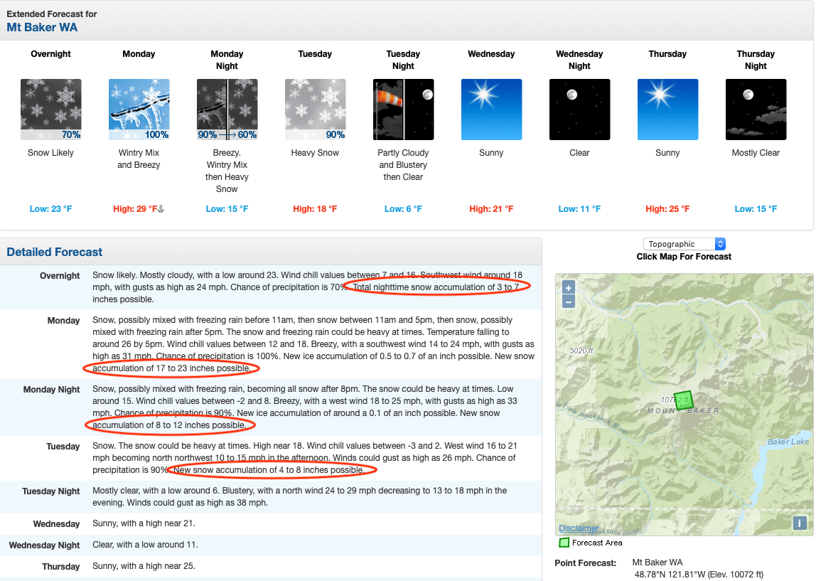
Heavy snow will be accompanied by wind gusts of up to 33-mph, and a wind chill as low as -2ºF.
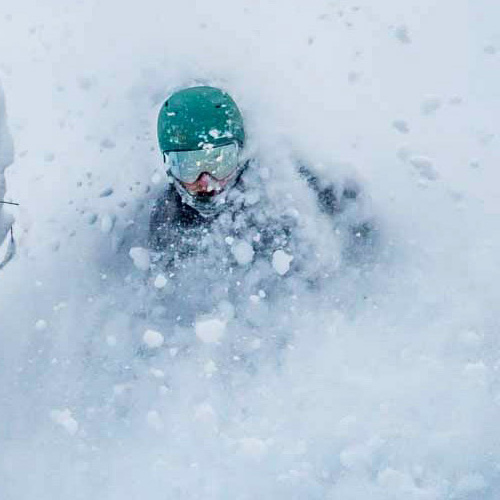
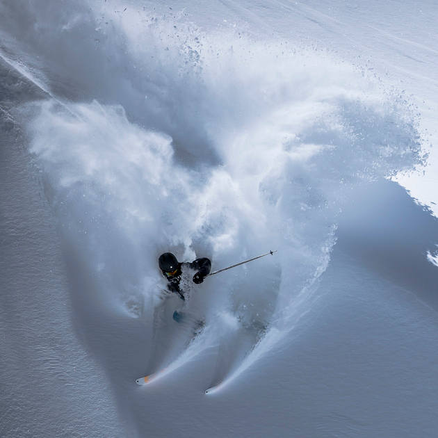
This will be the second big storm to hit the PNW in as many weeks. At the end of September, areas of Washington received historic snowfall allowing people to get out and ski fresh powder. Hopefully, this latest storm will be the start of a winter base for ski resorts.

You clicked the forecast area for the Mount Baker summit. That’s not even close to the ski area, which, despite the name, is not actually on Mt Baker. It’s also like half the elevation. I don’t know why this fake headline comes up every year.