Forecast By Eric McNamee 3/18/2020 3:30 PM
Summary:
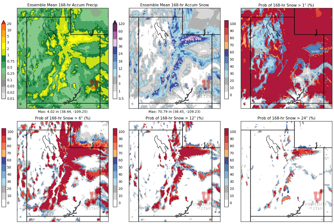
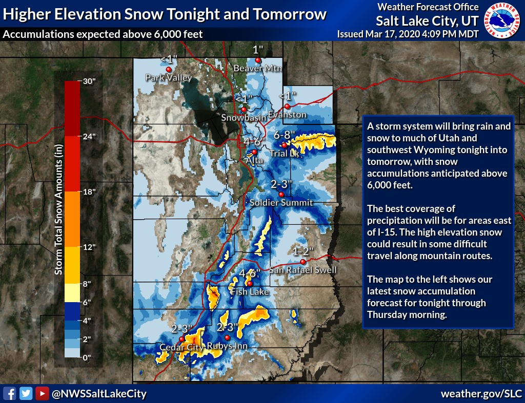
Looking for around 6-12″ of snow in the Wasatch through Friday, 12-18″ in Southern Utah mountains.
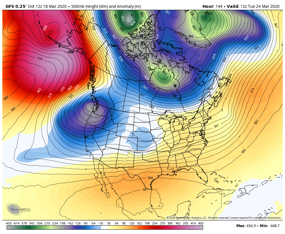
Highest amounts will be in the southern part of the state as a closed-low moves to the south of us.
The next chance for snow will be next week with a trough digging into the western US.
Short-Term:
Wednesday-Friday:
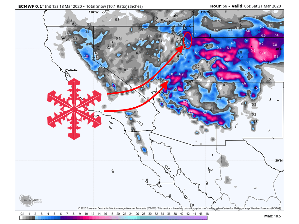
Around 6-12″ of snow will fall across the southern half of the Wasatch through Friday, with 12-18″ in some parts of southern Utah like Brian Head.
Snow will continue on-and-off for most mountain locations through Friday as a closed-low makes the trek across Arizona.
This will allow for high amounts of moisture to be transported into the state.
Highest Intensity of precipitation will come tonight and during the day Thursday as the main plume of moisture makes its way north.
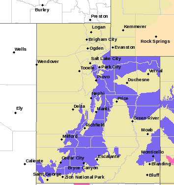
Currently, the National Weather Service has a ‘winter weather advisory‘ issued for most mountains.
...WINTER WEATHER ADVISORY REMAINS IN EFFECT UNTIL NOON MDT
THURSDAY ABOVE 7500 FEET...

* WHAT...Snow expected above 7500 feet. Total snow accumulations
  of 5 to 11 inches.

* WHERE...Wasatch Mountains South of I-80, Wasatch Plateau/Book
  Cliffs and Central Mountains.

* WHEN...Until noon MDT Thursday.

* IMPACTS...Plan on slippery road conditions.

* ADDITIONAL DETAILS...Impacted routes include I-70, SR- 31
  summit, US-6 over Soldier Summit, and US-40 over Daniels
  summit.
-NWS Salt Lake City, 3/18/20
Avalanche Forecast:
The Utah Avalanche Center currently has most of the Wasatch under the ‘moderate‘ risk category.
Make sure to stay posted for the latest conditions.
Saturday-Tuesday:
Conditions will clear out this weekend as the low moves off to the east.
This will lead to generally sunny skies and warmer temperatures.
Come Monday, another trough will dig into the western US.
This will be our next chance for seeing snow in the higher elevations.
Snowfall totals are not certain at this time.