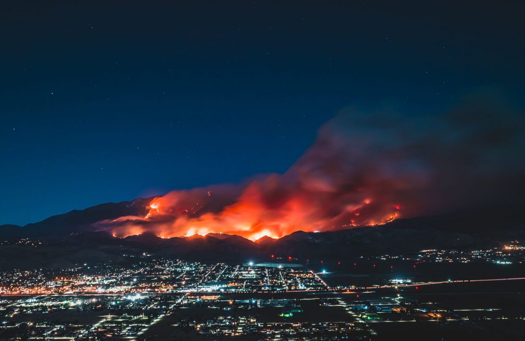
Wildfires in California have been occurring for centuries and with Esri’s new animated map, we can see how fires have grown in recent history. Of the 20 largest fires in the state 17 have occurred since the year 2000, and 11 have occurred in the last decade. Even more alarming than that, out of the five largest fires in the state’s history, four of them occurred this summer.
- Related: Assessing California Fire Scars
Fires in California used to be less destructive. There are two factors that increase the damage fires have caused over the last few decades. Those factors are the construction of new homes and climate change. Many new homes have sprung up on hillsides and in wooded areas. These areas are known as the wildland-urban interface. As climate change intensifies droughts and increases summer temperatures the size of fires is increasing.
It looks like fire is a natural part of the cycle and the fires are burning through the areas of older growth that hadn’t burned in the last 100 years.