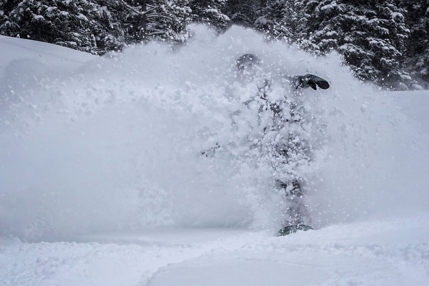
Just as the last storm ends, another winter storm is on tap for Colorado. Temperatures are expected to drop throughout the duration of the storm.
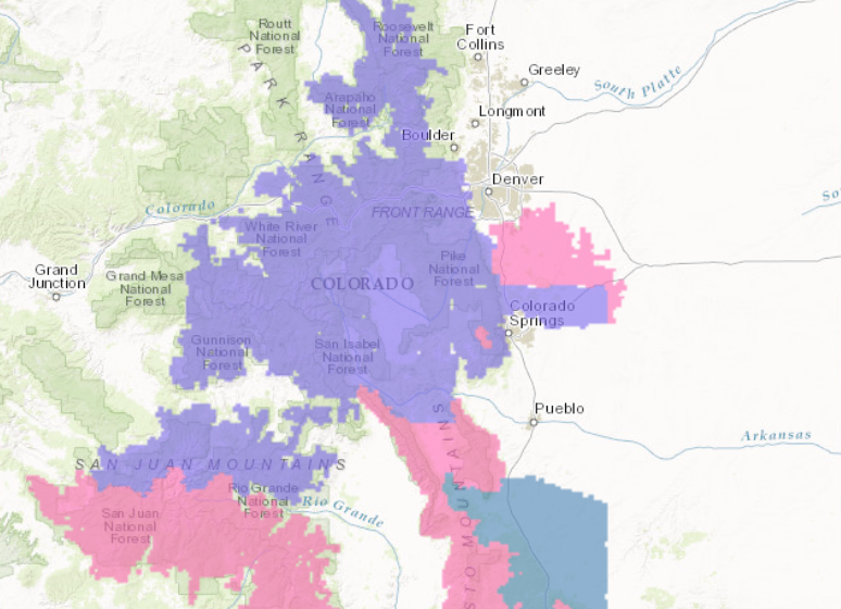
8-14″ of snow is forecasted to fall in Colorado Today-Tuesday.
Snow levels with this storm are expected to begin at 6500ft and they are expected to drop down to 5000ft.
Additional Storm Information:
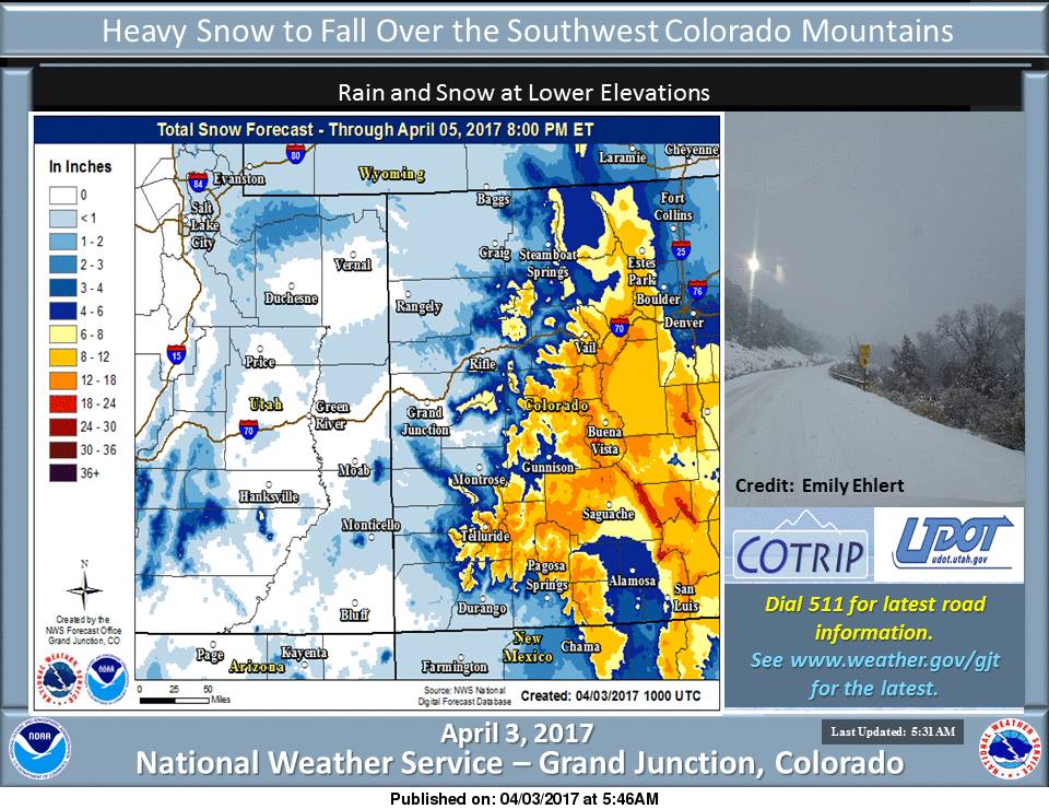
Colorado: 8-14″ of Snow Tonight-Tuesday
* SNOW ACCUMULATION...8 to 14 inches with locally higher amounts
  above 10,000 feet.
- NOAA Grand Junction, CO


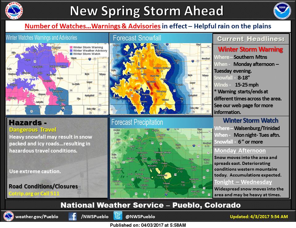
Colorado Winter Storm Warning:
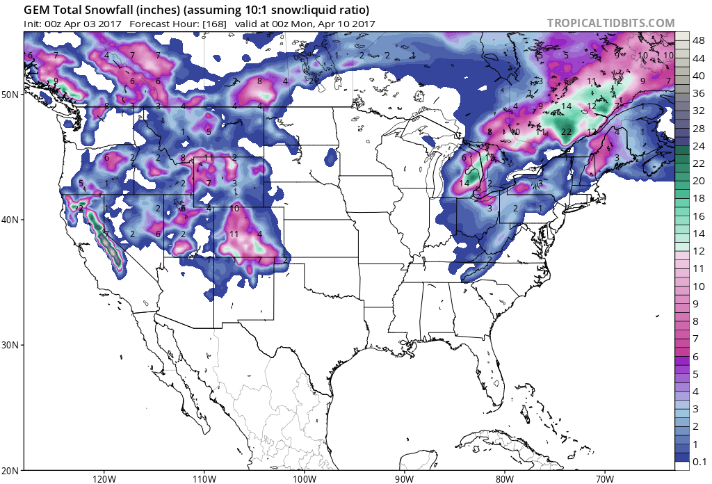
URGENT - WINTER WEATHER MESSAGE
National Weather Service Grand Junction CO
430 AM MDT Mon Apr 3 2017

Southwest San Juan Mountains-

...WINTER STORM WARNING REMAINS IN EFFECT FROM NOON TODAY TO 6 PM
MDT TUESDAY...

* LOCATIONS INCLUDE...Silverton, Rico, and Hesperus.

* TIMING...Light snow showers will begin as early as this
  morning with showers becoming more widespread this afternoon.
  Precipitation will continue through Tuesday afternoon. The
  heaviest accumulations are expected tonight through Tuesday
  morning.

* SNOW ACCUMULATION...8 to 14 inches with locally higher amounts
  above 10,000 feet.

* WINDS...West 10 to 15 mph with gusts up to 25 mph.

* VISIBILITY...Decreasing to less than 1 mile at times in moderate
  to heavy snowfall.

* IMPACTS...Higher elevation roads and highways will be icy and
  snow packed with areas of slushy conditions also expected,
  especially during the overnight hours.