A Winter Storm is expected to hit Grand Targhee and Jackson Hole today through early Wednesday morning. Huge snowfall totals and high winds are forecasted to impact the area.
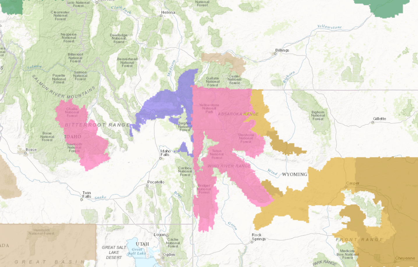
12-24″ of snow is expected to fall with up to 30″ in the Tetons through Wednesday morning.

Large amounts of snowfall is expected to fall at Grand Targhee and Jackson Hole with colder temperatures. This is great news considering all of the warm storms that have impacted the west as of late.
Teton Forecast: 12-24″ of Snow With Up To 30″ In The Tetons Through Wednesday Morning
* Snowfall Accumulation...12 to 24 inches are expected, with
  localized amounts up to 30 inches in the Teton mountains.
- NOAA Riverton, WY


Winter Storm Warning:
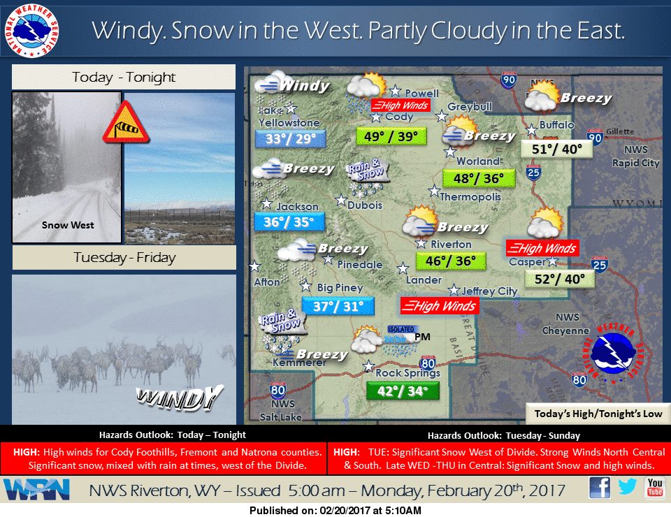
URGENT - WINTER WEATHER MESSAGE
National Weather Service Riverton WY
315 AM MST Mon Feb 20 2017

...A strong Pacific storm will bring heavy snow to the western
mountains from this Afternoon through Tuesday night...

.A strong Pacific storm will bring heavy snow to the western
mountains from Monday afternoon through Tuesday evening. Also,
strong west to southwest winds will cause significant blowing and
drifting snow. The western valleys will see a mix of rain and
snow.

Teton and Gros Ventre Mountains-Salt River and Wyoming Ranges-

...Winter Storm Warning in effect from noon today to 5 am MST
Wednesday...

The National Weather Service in Riverton has issued a Winter
Storm Warning for snow and blowing snow, which is in effect from
noon today to 5 AM MST Wednesday. The Winter Storm Watch is no
longer in effect.

* Timing...Snow and strong winds are expected to move into the
  western mountains of Wyoming Monday afternoon. Snow and wind are
  expected to continue through Tuesday night.

* Snowfall Accumulation...12 to 24 inches are expected, with
  localized amounts up to 30 inches in the Teton mountains.

* Wind and Visibility...West to southwest winds of 25 to 35 mph
  with gusts to 60 mph...especially in open areas or mountain
  summits. Visibility frequently below a quarter mile in heavy
  snow and blowing snow.

* Main Impact...Travel will become very difficult with the wind
  and snow producing slick, snow-packed roads along with high
  drifts over mountain passes. Please monitor JHAVALANCHE.ORG if
  your plans include travel into the backcountry. Also, the
  severely reduced visibility will be very disorientating for
  those recreating in the backcountry.

this puts a smile on my face