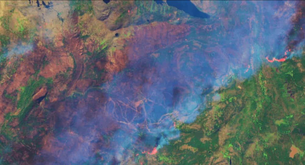
Satellite images from sentinel-hub show the area burned by the Caldor Fire at Sierra-at-Tahoe ski area in California.
The Caldor Fire reached the Sierra-at-Tahoe ski area on Sunday 29th August 2021, taking hold in the West Bowl before reaching the mountain’s front side. US Forest Service webcams at the summit of the resort showed the fire directly beneath a chairlift. Despite the fire surging through the area, the resort seems to have escaped relatively unscathed, losing one structure. Staff had snow guns blazing, dousing all structures and the surrounding land in water.
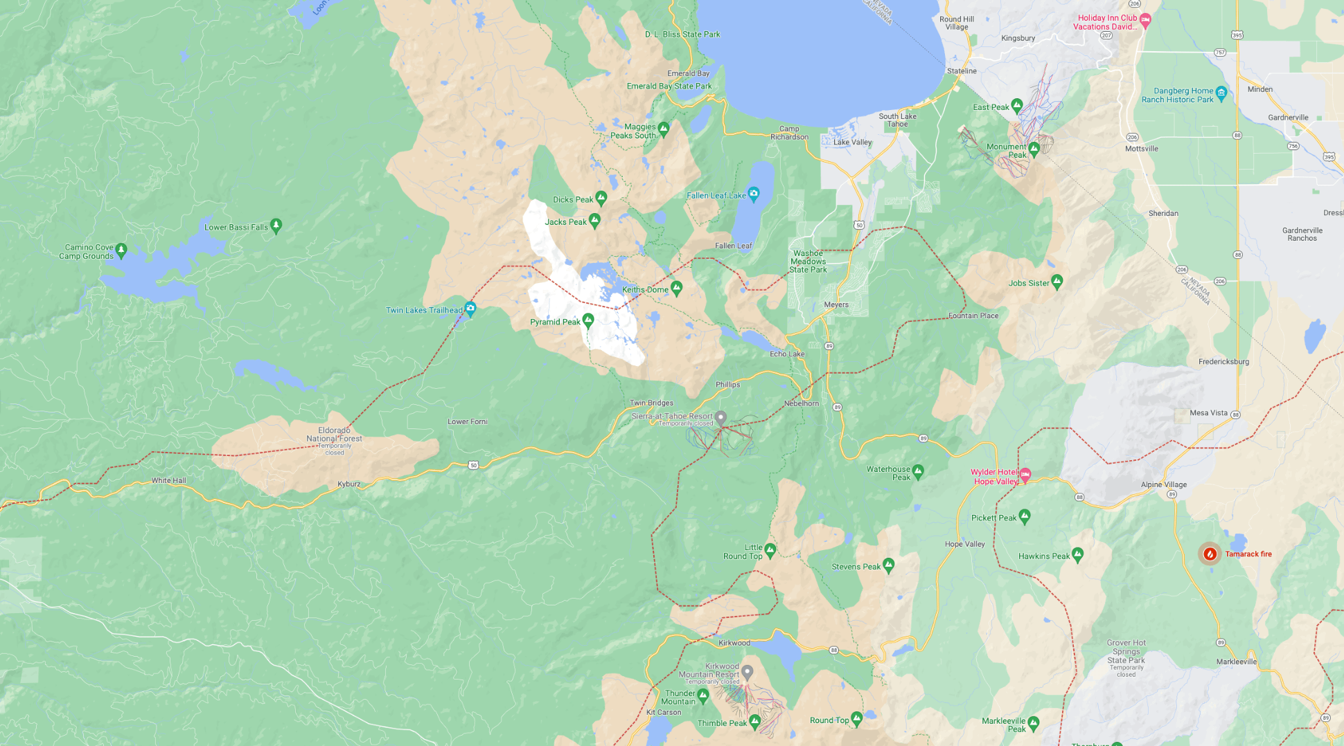
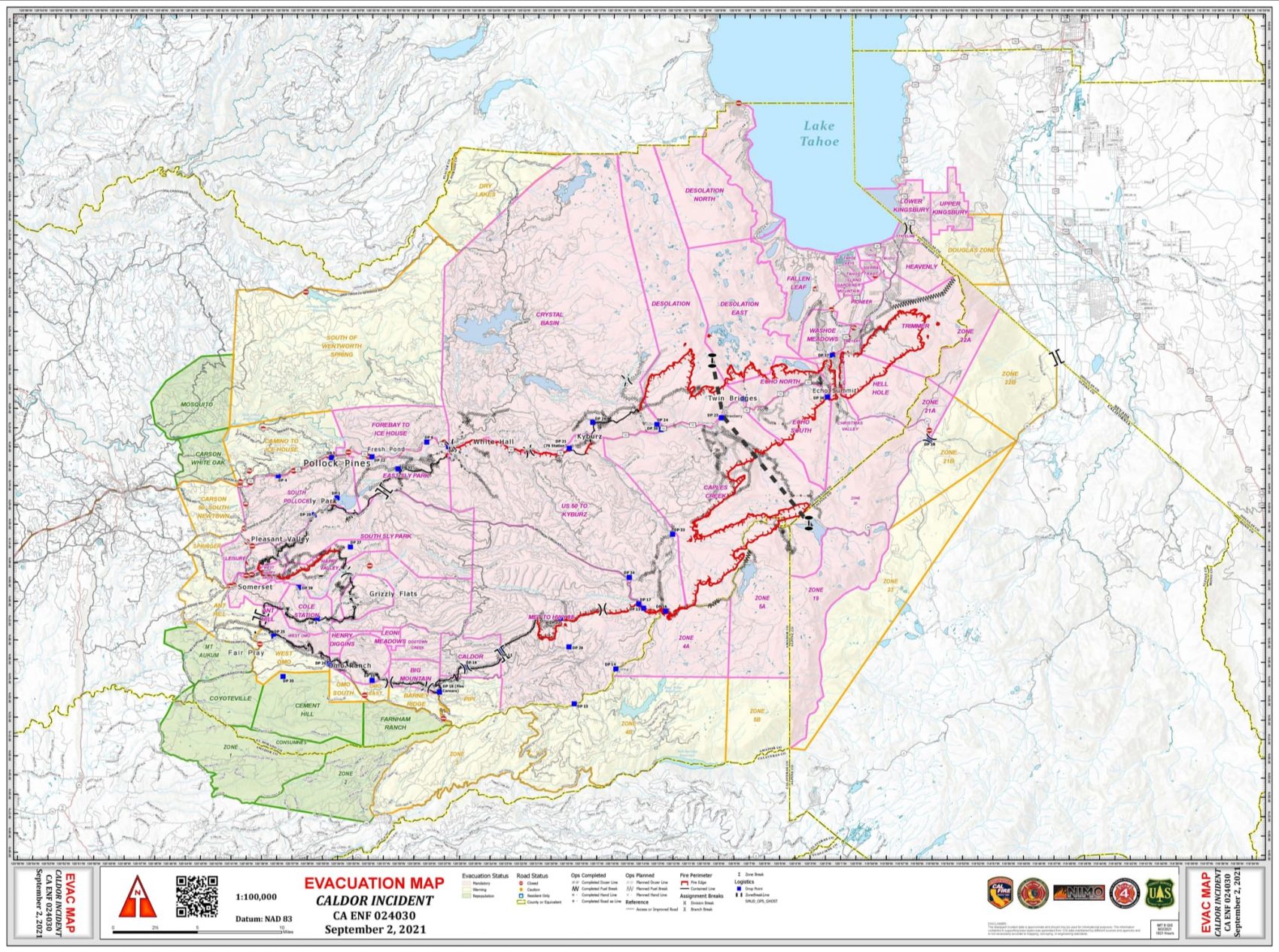
The Caldor Fire has so far burned 210,893-acres and is 27% contained. Yesterday fire behavior decreased in western areas thanks to slow wind speed across the fire. The fire continues to back down towards Hwy 50 in multiple locations due to the heavy dead/down fuels. Aircraft and hand crews worked throughout the day to secure more control lines along the southern edge of the fire keeping it north of Hwy 88. Last night, firefighters will take advantage of lighter winds and cooler temperatures to construct additional control lines. Damage inspection is in progress with approximately 65% of structures inspected to date.
For more information, check out InciWeb and CalFire.
The PR department needs to spin this and play up the new “Caldor”, “Smokey” and “Ash” glades. “Fewer Trees, More Pow”
The forest naturally burns every 10-15 years. The forest is currently 20-30x denser trees / acre than it would be naturally do to human unnaturally putting out wild fires for the last 100 – 150 years.
Exacerbated by global warming, nature is currently thinning the forest back to its normal state.
The only way to prevent massive fires like we’re having right now is to do controlled burns in a 10-15 year cycle throughout the forest and return it to a more natural density.