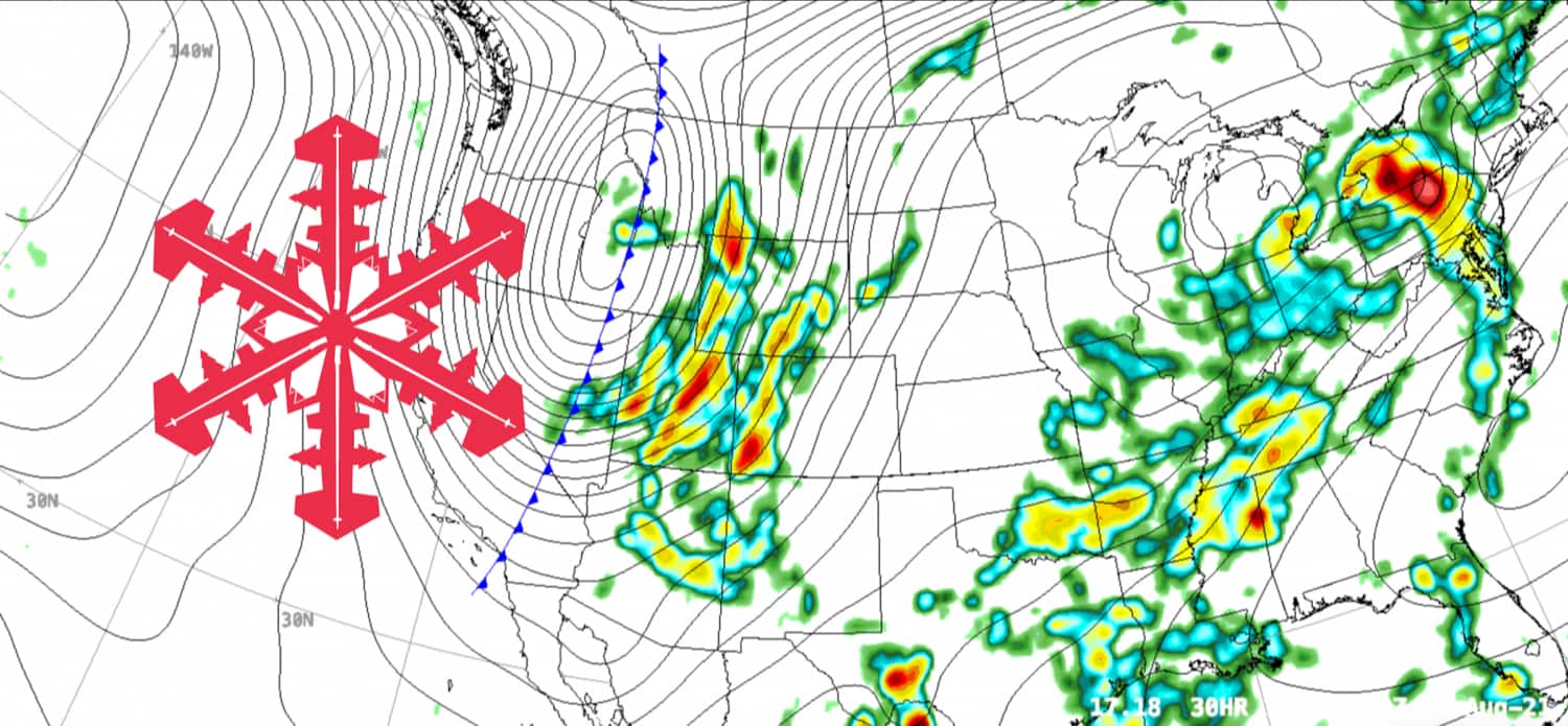
Whispers of winter are at last upon us in the Continental United States, where a powerful northern trough is forecasted to bring cold temperatures and snow to the Western US.
The low-pressure system crossed through the Pacific Northwest this morning, dumping reports of trace to several inches of snow atop the region’s highest peaks such as Mt. Rainier, Mt. Hood, and Mt. Baker.
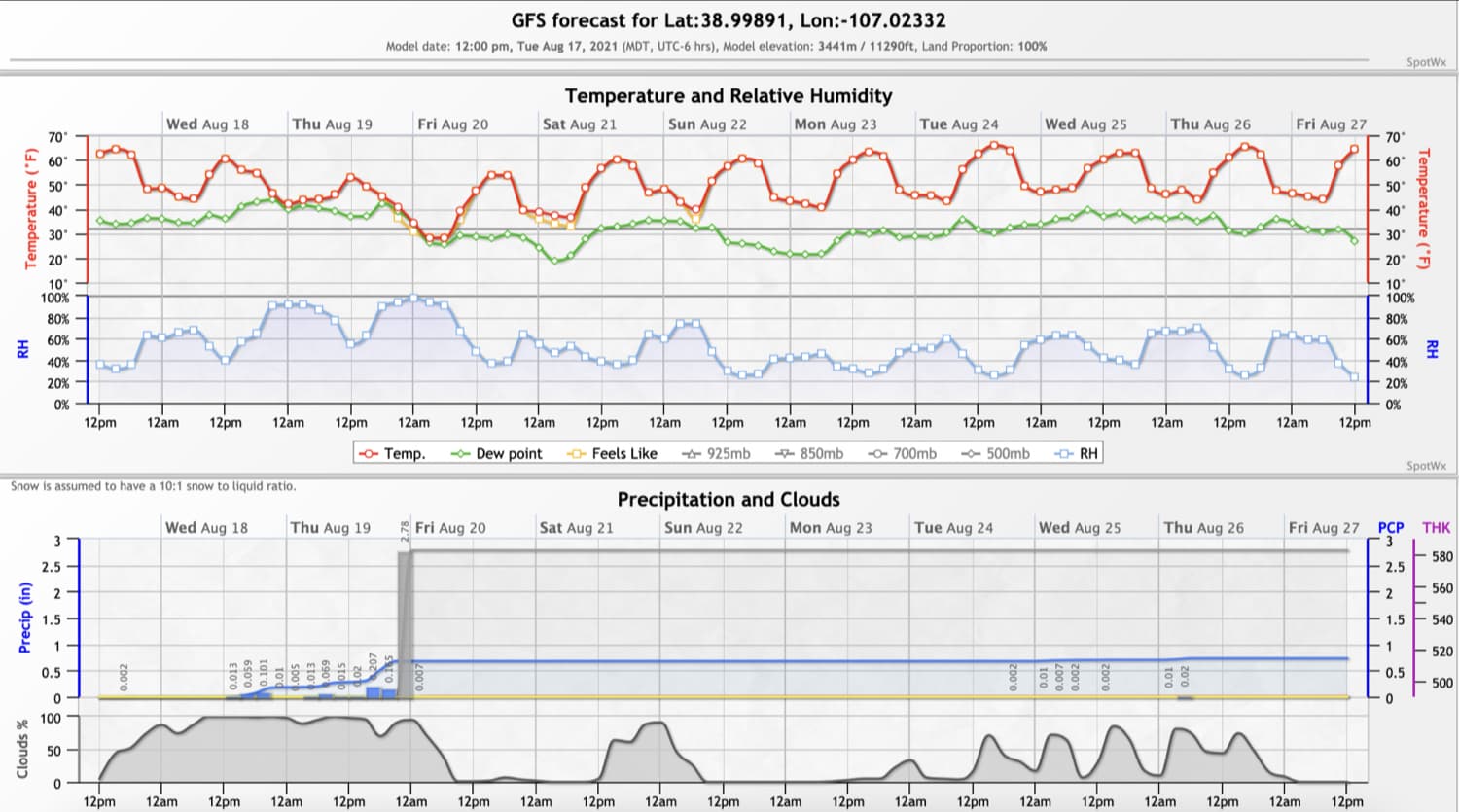
The trough is tracking steadily towards the Intermountain West and is forecasted to bring similarly wintery conditions to the upper elevations of Colorado, Utah, Wyoming, and more.
While the models are still in disagreement about how much snow may fall, most models are on board with some snow. Snow levels will drop to between 10,000 and 11,000 feet as the trough moves through the mountainous regions of the interior US.
As for the non-mountainous areas, the trough should cool things down considerably. Nighttime lows in the valley and high plain areas of Idaho, Montana, Wyoming, Utah, and Colorado may see sub-40 degrees Fahrenheit lows.
The trough should move through these areas between Wednesday morning and Friday afternoon before it begins to lose energy as it crosses into the Great Plains. Fingers crossed for this storm to mark the start of an early and bountiful winter!