The National Weather Service has issued Winter Weather Hazards for Maine, New Hampshire, and Vermont. They are in effect from early Wednesday Morning – late Wednesday Night. Heavy snow is forecasted to impact the area throughout this time.
8-12″ of Snow Wednesday – Wednesday Night.
NOAA Has Issued A Winter Storm Warning For:
Vermont
NOAA Has Issued A Winter Storm Watch For:
Maine
New Hampshire
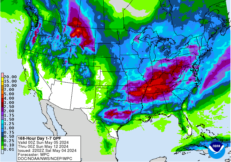
7 day snowfall totals. Image: Tropical Tidbits7 day precipitation totals. Image: NOAA
Snow is forecasted to fall at all elevations, but the heaviest accumulations are expected to occur in the mountains.
Vermont: 8-12″ of Snow Wednesday – Wednesday Night
* Total snow accumulations of
8 to 12 inchesare expected.
- NOAA Burlington, VT
US Snow Totals through tomorrow. Image: NOAAWeather pattern shifting eastward. Image: NOAA
New Hampshire: 8-12″ of Snow Wednesday – Wednesday Night
* Total snow accumulations of
  8 to 12 inches are possible.
- NOAA Grey, ME
Today’s high temperatures in ME. Image: NOAA Grey, MEME snowfall totals. Image: NOAA Grey, ME
Vermont: 8-12″ of Snow Wednesday – Wednesday Night
* Total snow accumulations of
8 to 12 inchesare possible.
- NOAA Grey, ME
6-10 day temperature outlook. Image: NOAA6-10 day precipitation outlook. Image: NOAA
Vermont Winter Storm Warning:
URGENT - WINTER WEATHER MESSAGE
National Weather Service Burlington VT
315 AM EST Tue Feb 6 2018
Eastern Rutland-
Including the cities of Montpelier, Bradford, Randolph, Rutland,
Springfield, White River Junction, Bristol, Ripton,
East Wallingford, and Killington
...WINTER STORM WARNING IN EFFECT FROM 8 AM WEDNESDAY TO 1 AM ESTTHURSDAY...
* WHAT...Heavy snow expected. Total snow accumulations of 8 to 12 inches are expected.
* WHERE...South central Vermont, including Rutland County.
* WHEN...From 8 AM Wednesday to 1 AM EST Thursday.* ADDITIONAL DETAILS...Plan on difficult travel conditions,
including during the evening commute on Wednesday. The heaviest snow will fall between noon and 7 PM Wednesday, with
visibilities under one half mile possible during this time.