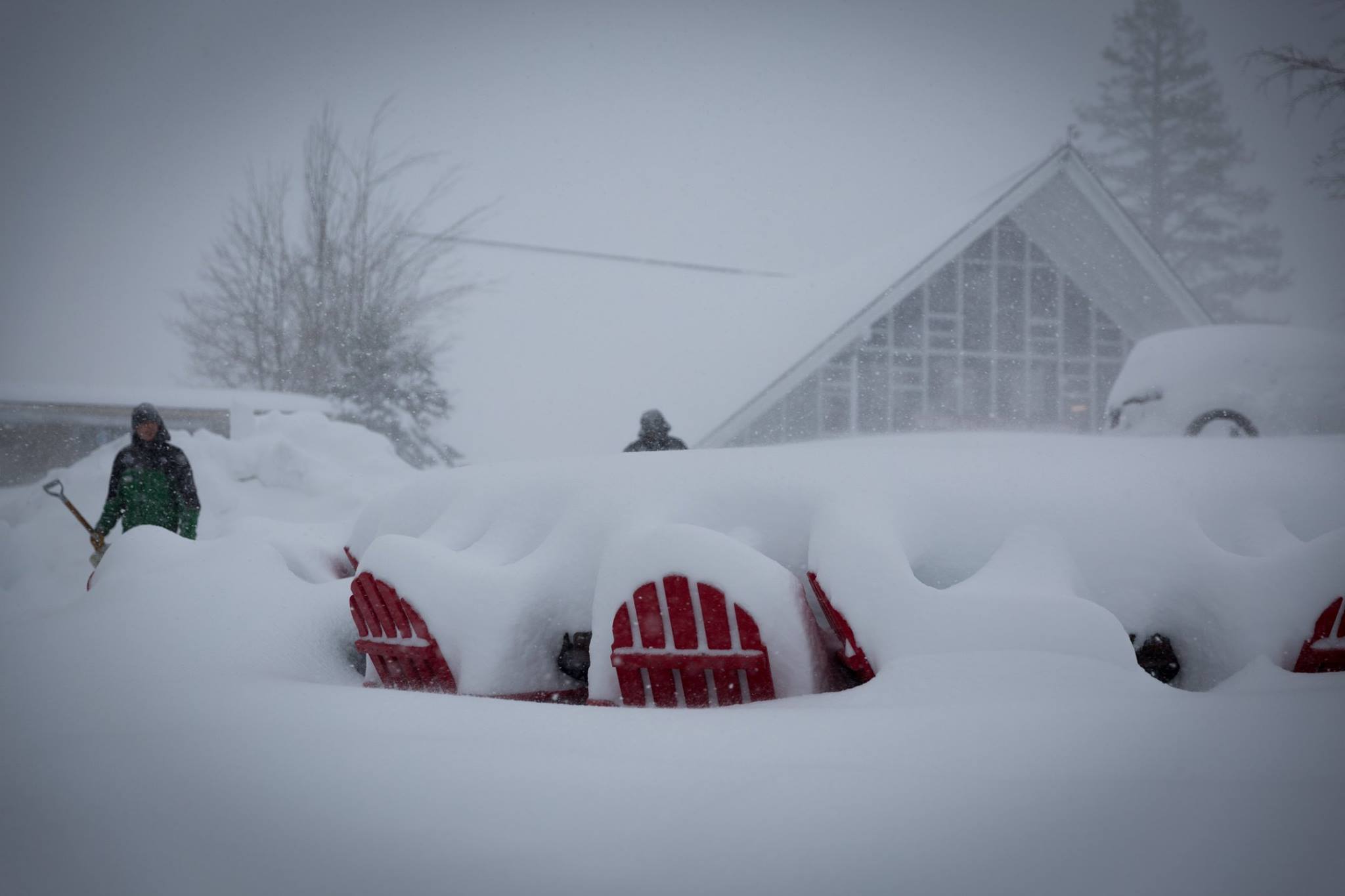
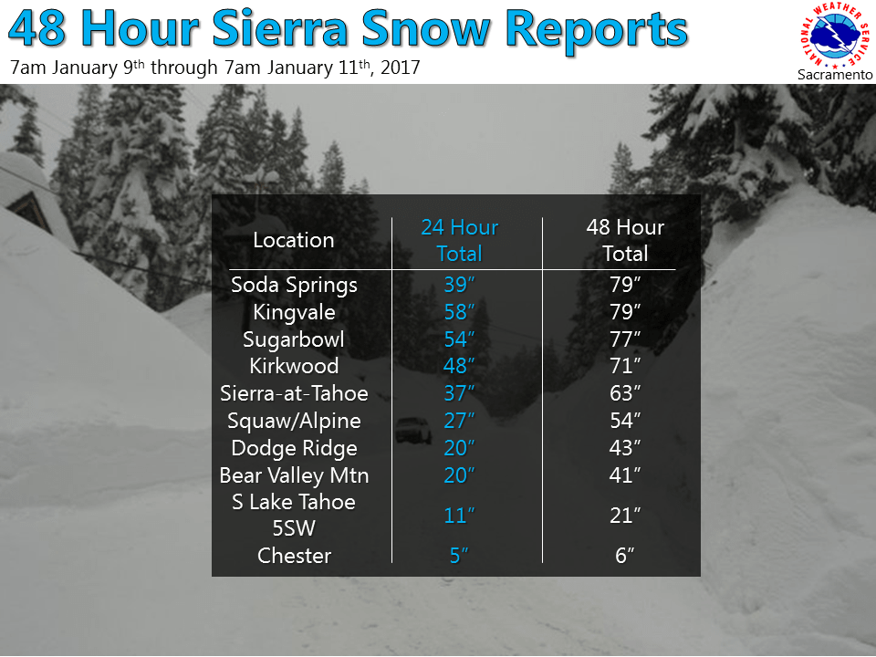
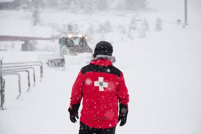
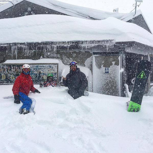
An EPIC storm has been POUNDING California with heavy snow, high winds, and dangerous conditions. 48″ of snow fell in the past 24 hours at Heavenly and Kirkwood and there’s up to 18″ more on the way today.
Most ski resorts have been closed since Sunday due to the massive amounts of snow. This storm isn’t done yet, its supposed to persist through the day and into Thursday.

Lake Tahoe: 3-6″ of Additional Snowfall
* SNOW ACCUMULATIONS...ADDITIONAL 3 TO 6 INCHES DOWN TO 4000 FEET.
- NOAA Reno, NV
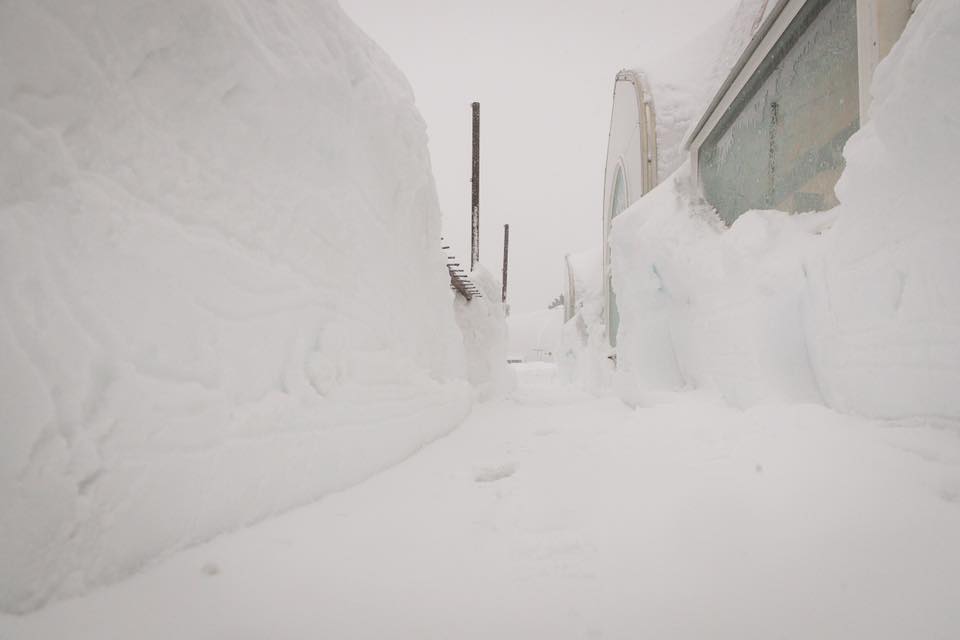
Sierra Snowfall: 12-18″ of additional snowfall
* SNOW ACCUMULATIONS...ADDITIONAL 12 TO 18 INCHES ACROSS THE HIGHER ELEVATIONS.
- NOAA Reno, NV Today
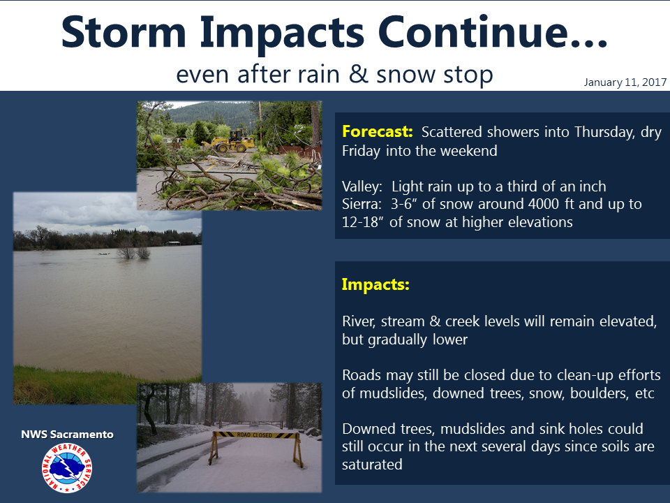
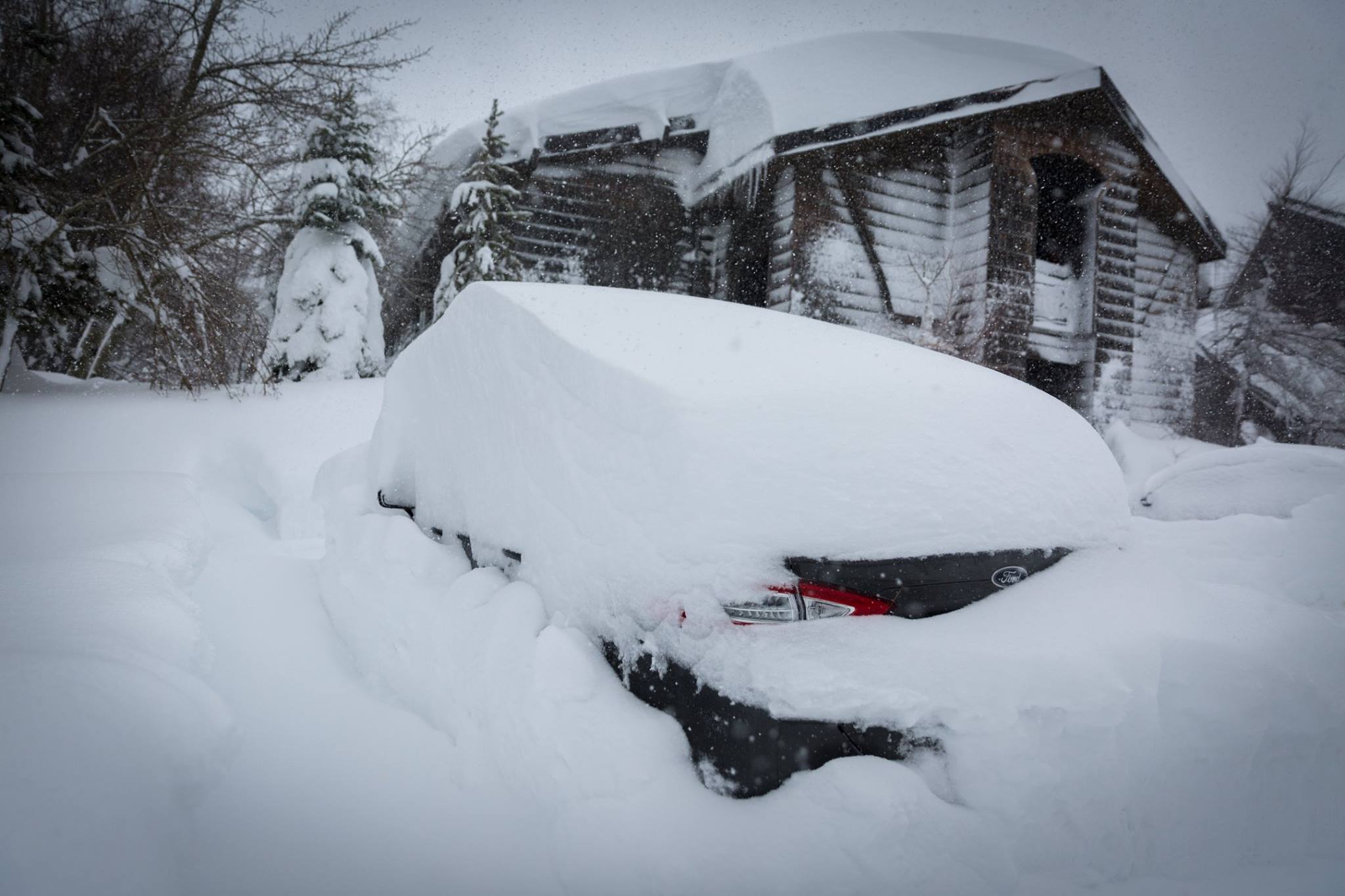
Even after the rain and snow comes to an end, impacts such as mud slides, flooding, sink holes, and much more will occur due to the highly saturated soil.
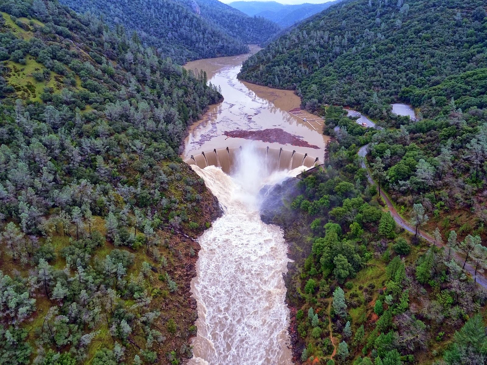
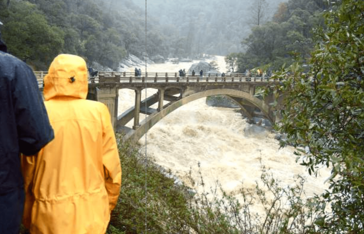
As flooding continues, it is recommended for individuals in the area to avoid traveling and take refuge in the safest place near them.
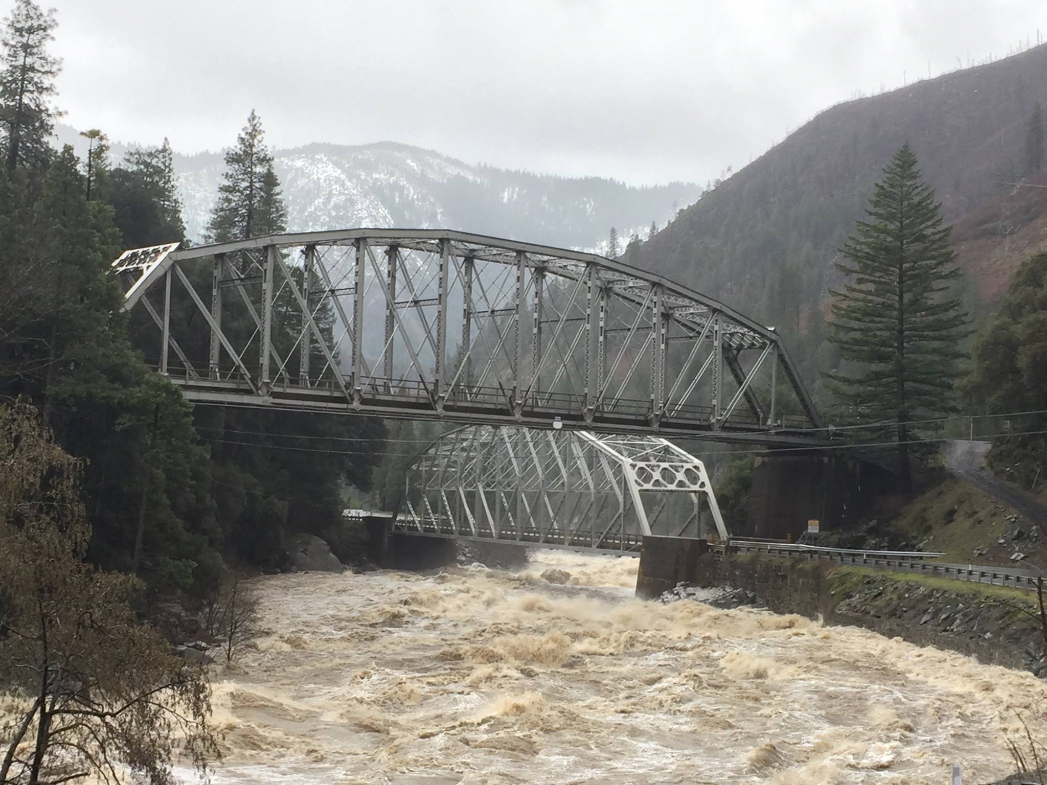
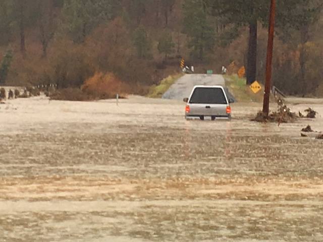
A lot of the lower elevation snowfall is hitting the ground and melting on contact, which is adding to the flooding.
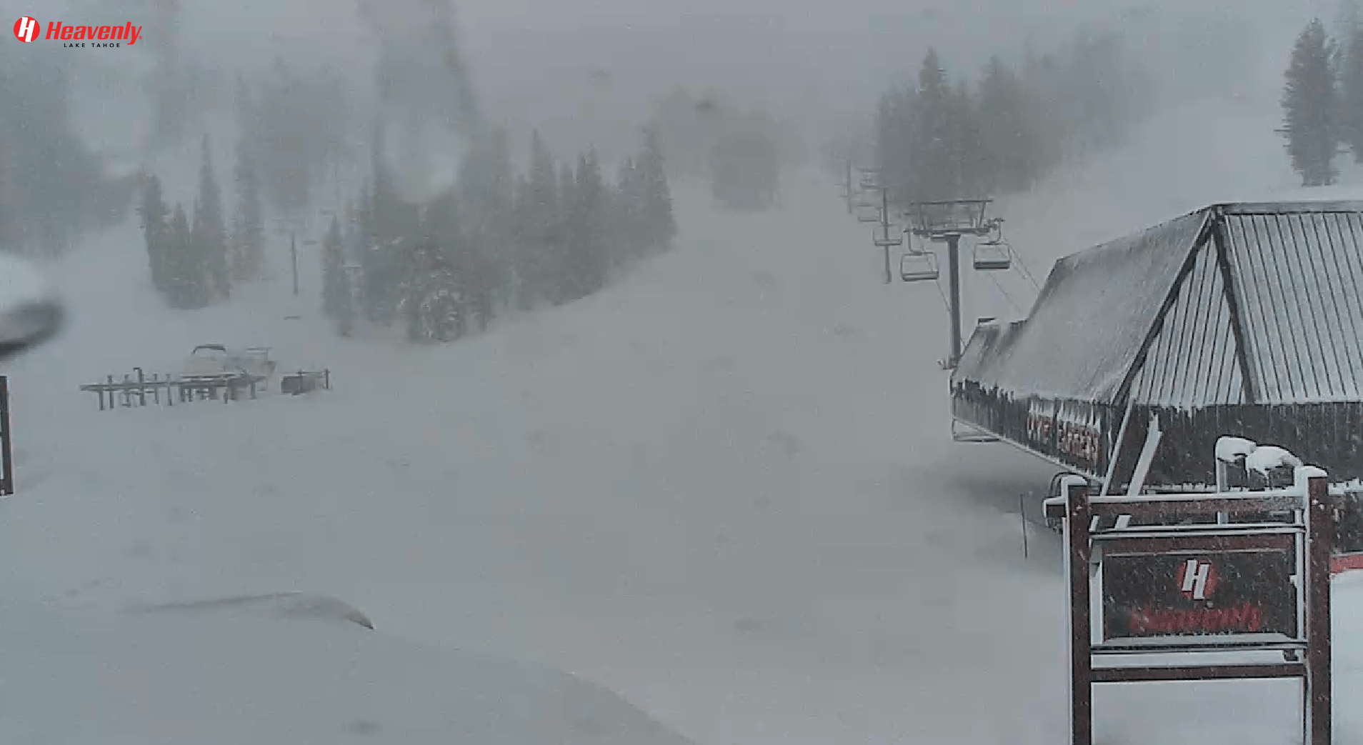
Heavenly Conditions:
- 24 Hour Snowfall: 48″
- 48 Hour Snowfall: 96″
- 7 Day Snowfall: 144″
- Season Snowfall: 262″
Kirkwood Mountain Resort Conditions:
- 24 Hour Snowfall: 48″
- 48 Hour Snowfall: 71″
- 7 Day Snowfall: 133″
- Season Snowfall: 242″
Northstar Conditions:
- 24 Hour Snowfall: 42″
- 48 Hour Snowfall: 78″
- 7 Day Snowfall: 122″
- Season Snowfall: 254″
Alpine Meadows Conditions:
- 24 Hour Snowfall: 42″
- Storm Total: 80″
- January Snowfall: 164″
- Season Snowfall: 269″
Mammoth Conditions:
- 24 Hour Snowfall: 13″
- 48 Hour Snowfall: 32″
- Storm Total: 73-116″
- Base: 120-230″
Boreal Conditions:
- 24 Hour Snowfall: 36″
- 48 Hour Snowfall: 36″
- 7 Day Snowfall: 108″
- Season Snowfall: 217″
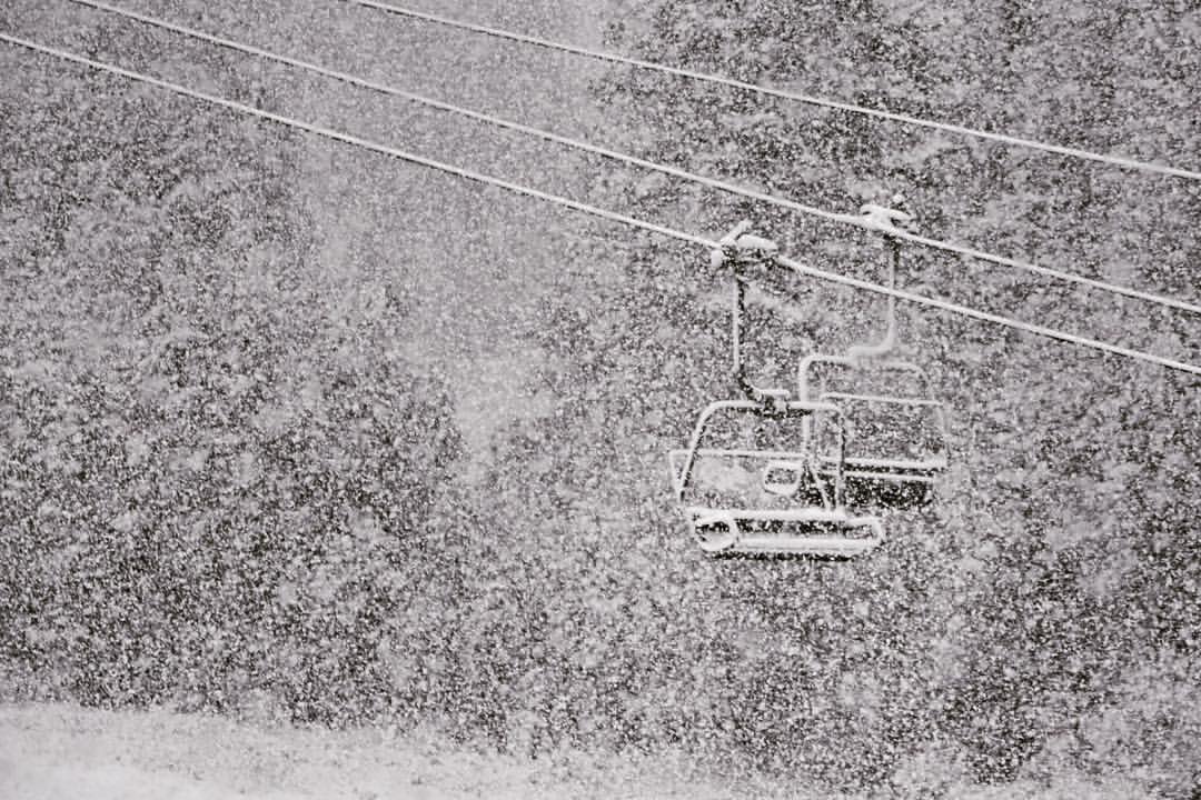
Winter Storm Warning For Squaw Valley:
URGENT - WINTER WEATHER MESSAGE
NATIONAL WEATHER SERVICE RENO NV
445 AM PST WED JAN 11 2017

GREATER LAKE TAHOE AREA-
INCLUDING THE CITIES OF SOUTH LAKE TAHOE, TRUCKEE, STATELINE,
AND INCLINE VILLAGE
445 AM PST WED JAN 11 2017

...BLIZZARD WARNING REMAINS IN EFFECT UNTIL 10 AM PST THIS
MORNING...
...WINTER STORM WARNING REMAINS IN EFFECT FROM 10 AM THIS MORNING
TO 4 AM PST THURSDAY...

* TIMING: DANGEROUS BLIZZARD CONDITIONS THROUGH THIS MORNING.
  BANDS OF SNOW...HEAVY AT TIMES...WILL CONTINUE THIS AFTERNOON
  AND TONIGHT WITH DECREASING WINDS.

* ADDITIONAL SNOW ACCUMULATIONS: 6 TO 10 INCHES...WITH A FOOT OR
  MORE ABOVE 7000 FEET.

* WINDS: SOUTHWEST 20 TO 30 MPH WITH GUSTS TO 45 MPH. SIERRA RIDGE
  GUSTS OVER 100 MPH. WINDS DECREASING LATER TODAY.

* IMPACTS: DANGEROUS LIFE THREATENING BLIZZARD CONDITIONS FOR
  TRAVEL AND OUTDOOR ACTIVITIES. STAY HOME AND DO NOT ATTEMPT
  TO TRAVEL UNTIL THE STORM PASSES. AVALANCHE DANGER IS HIGH.