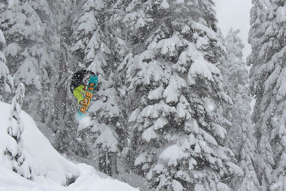
Washington’s Cascades came up with the biggest win for the weekend. 6-12” in Washington didn’t sound like much until we saw the above video. That video made it look hideously fun. It appears that the Cascades had a good week in general from Mt. Baker to Mt. Hood who got 7 inches today. Alpental was the winner with a foot of new snow and some conditions that looked epic compared to most the rest of the country.
WA SNOW TOTALS PAST 24 HOURS
– Alpental, WA = 12”
– Crystal Mountain, WA = 10”
– Mt. Baker, WA = 7” …but they’re closed Monday – Thursday
– Steven’s Pass, WA = 6”
NOAA WEST SLOPE NORTHERN CASCADE SNOW FORECAST:
Tonight: Rain and snow showers likely. Snow accumulation of 1 to 2 inches. Snow level near 2500 feet.
NOAA CENTRAL CASCADE FORECAST:
Tonight: Snow showers likely. Cloudy, with a low around 22. West wind around 9 mph. Chance of precipitation is 70%. Total nighttime snow accumulation of 2 to 4 inches possible.

It looks like it’ll dry up and get warm in Washington this week. Utah and Colorado are about to Light Up. More tomorrow.
it was good in the bc at Crystal.
finally, some love for WA. It’s been a decent season up here. today was sick.