image: Andy Cross – The Denver Post
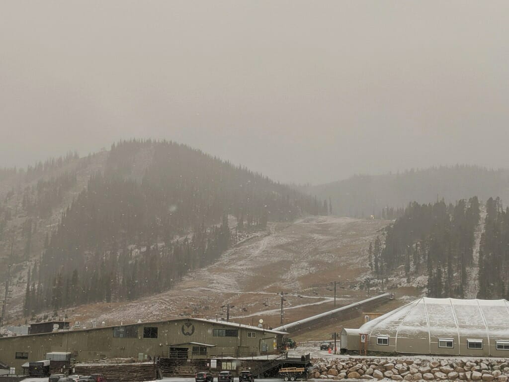
Brought to you by Monarch Mountain, CO
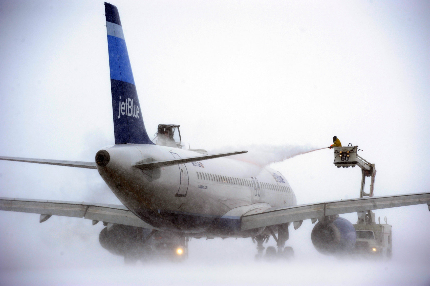
According to FlightAware, as of 2:22pm MT today there have been 663 delayed flights & 112 canceled flights at the Denver International Airport (DEN) today due to snow and weather.
If you’re flying out of DEN today, make sure you call ahead and find out if your flight has been delayed or canceled.
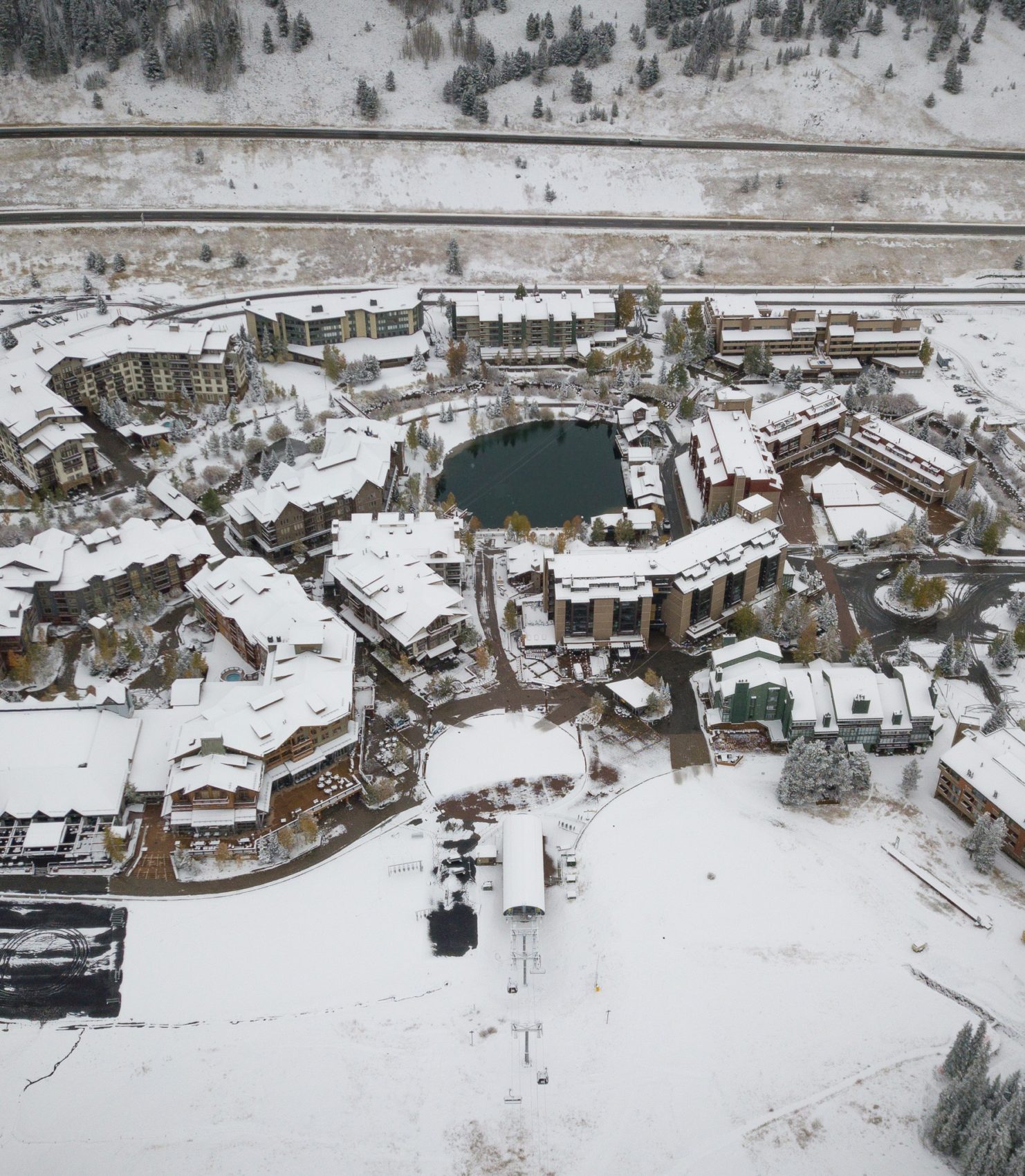
A winter storm is currently slamming Colorado and ski resorts are already seeing decent amounts of snowfall.
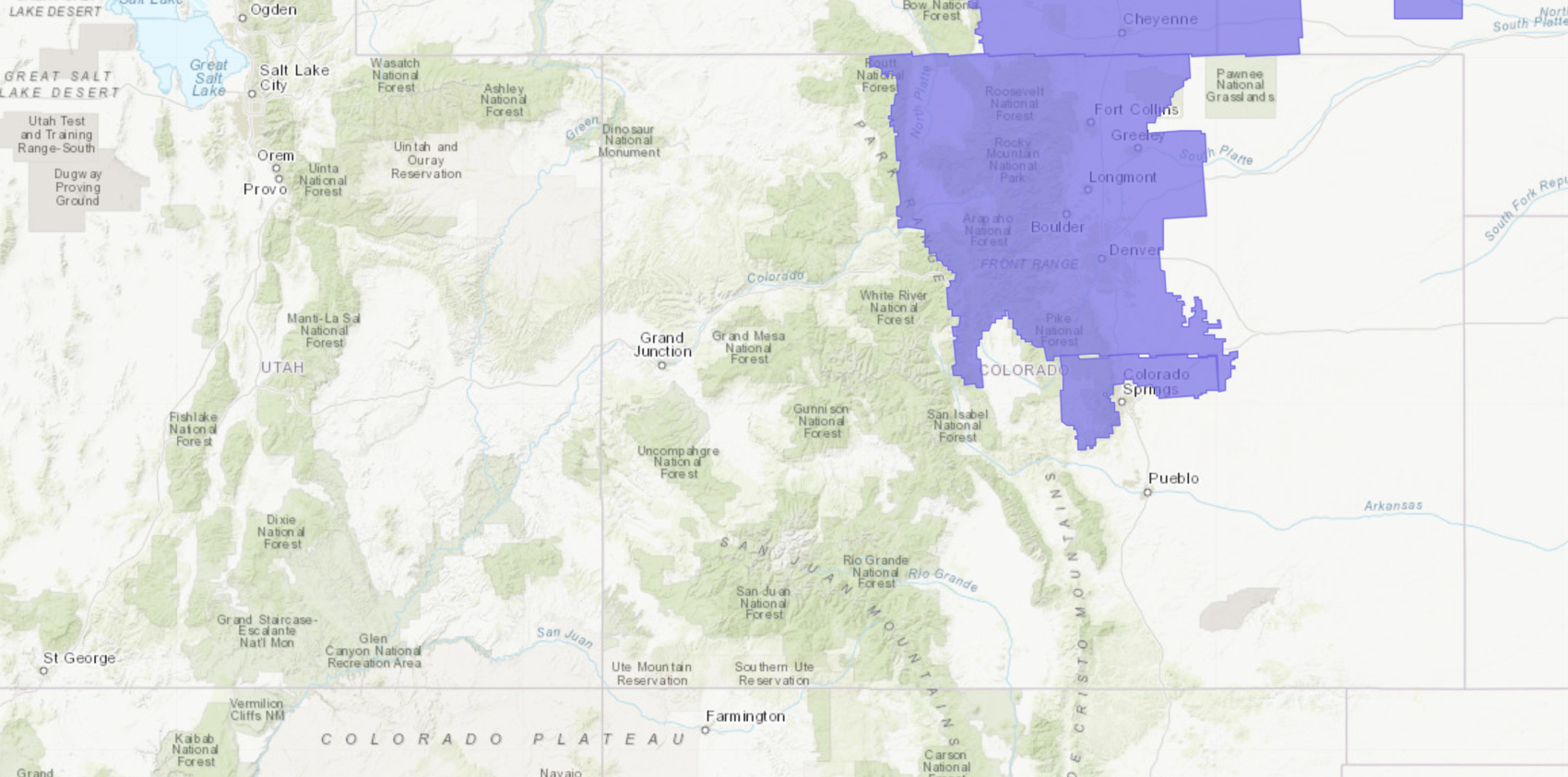
NOAA has issued a Winter Weather Advisory that is forecasting 1-3″ of snowfall in Denver today.
* WHAT...Snow this morning, with areas of freezing drizzle. Snow
  accumulations of 1 to 3 inches and ice accumulations of a light
  glaze. Winds gusting as high as 40 mph.
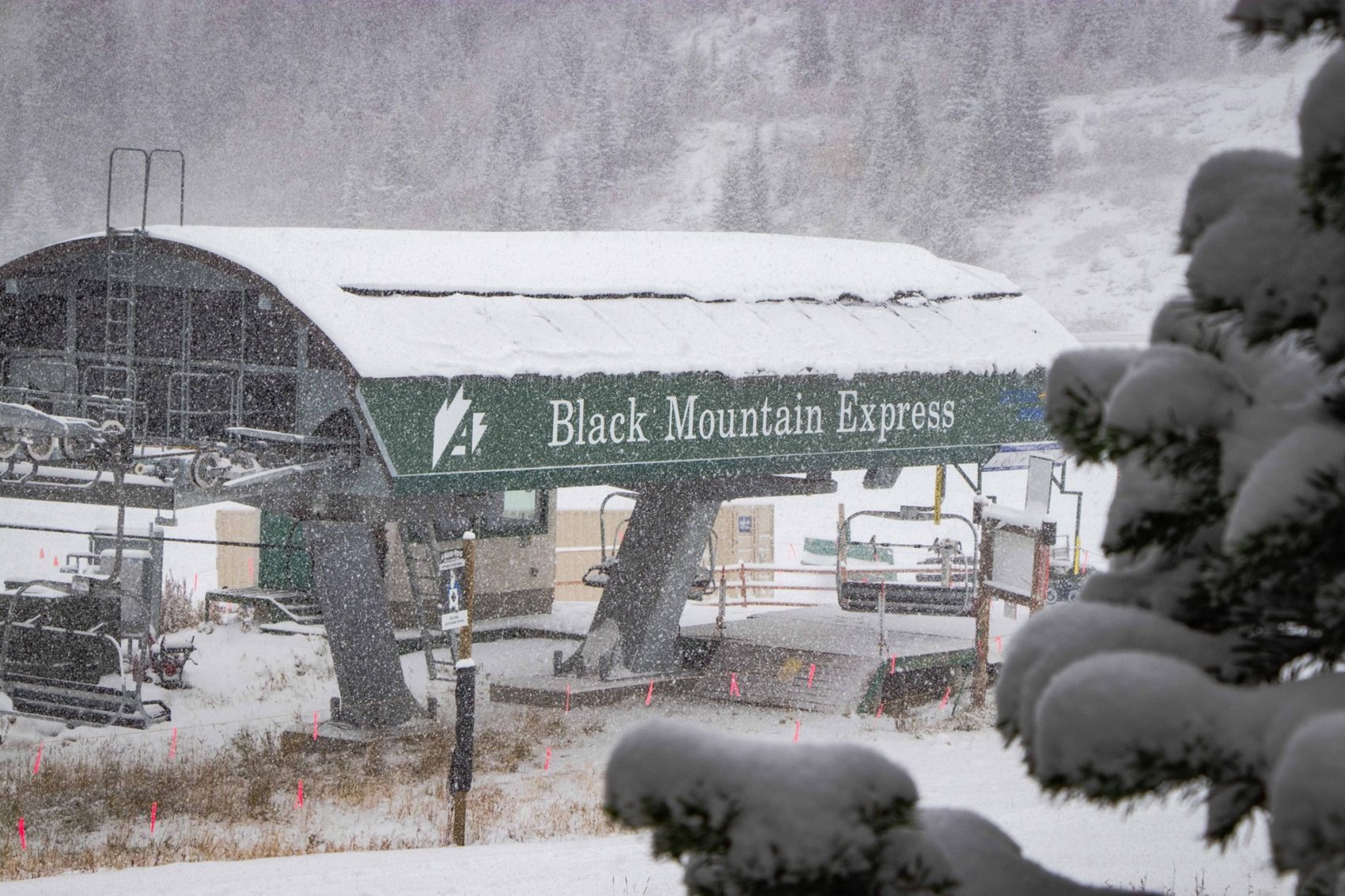
Arapahoe Basin is reporting 5″ of new snow today as of 11am MT.
“Hello old friend winter, nice to see you again. We’ve received around 5″ overnight and it’s still coming down. First chair is getting closer by the day!” – Arapahoe Basin, CO, 10/10/19
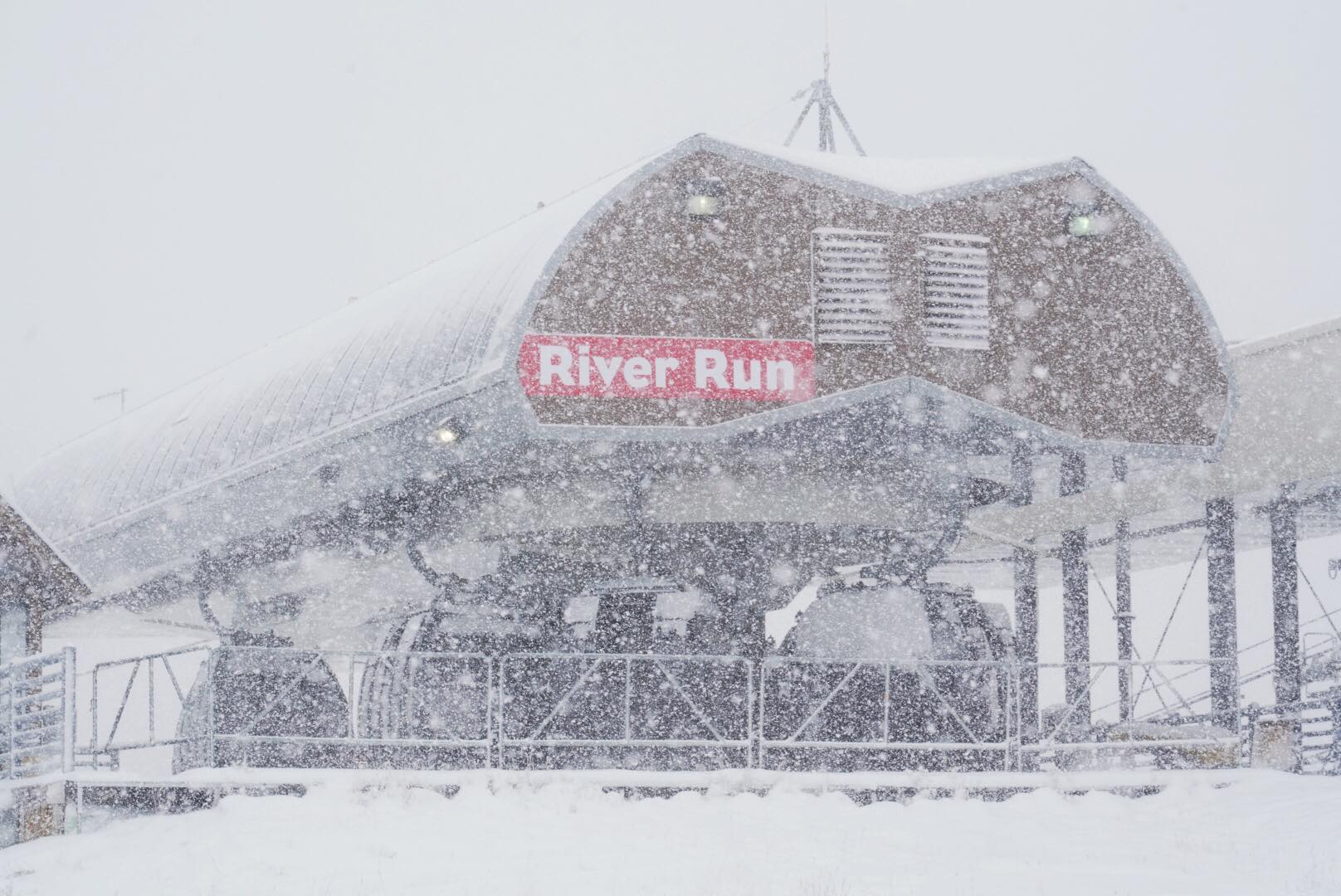
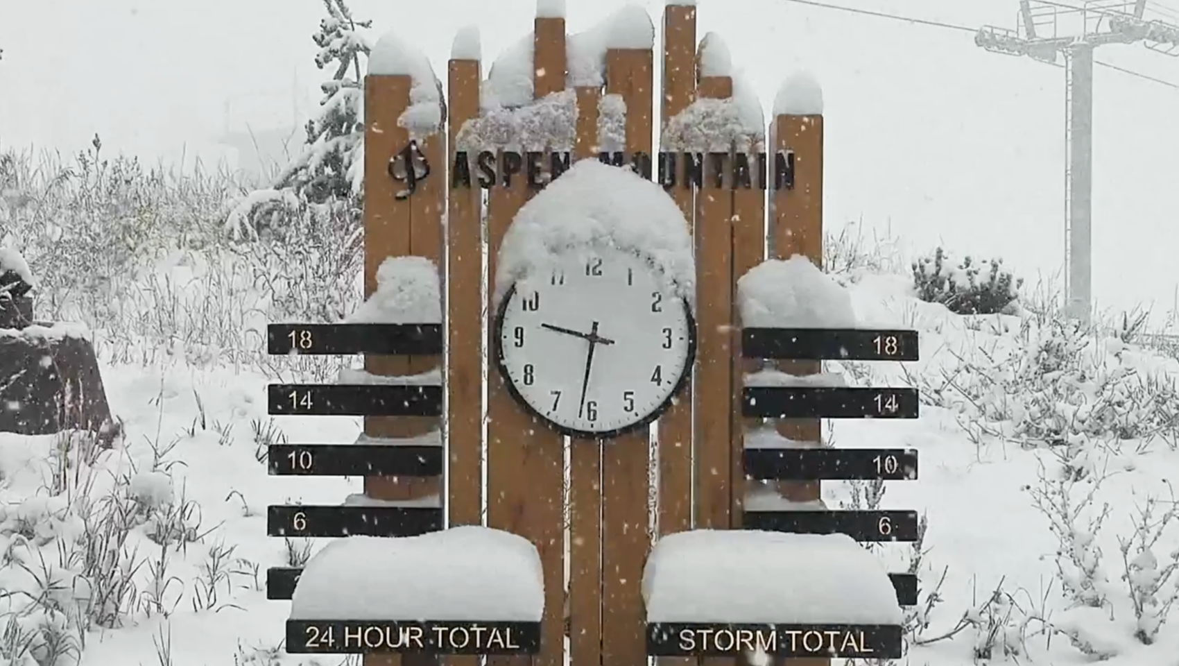
Aspen reports that they have seen 6″ of new snow as of 11am MT today.
“Count it! 6″ at the top of Aspen Mountain and it’s still coming down!” – Aspen Snowmass, 10/10/19
This new snow could be enough to get some ski resorts (Arapahoe Basin, Loveland, Keystone) open very very soon (this week?).
Colorado Ski Resorts That Have Seen Snow Today:
***
Keystone
Arapahoe Basin
Loveland
Copper Mountain
Aspen
Steamboat
Vail
Monarch
Winter Weather Advisory for DEN
URGENT - WINTER WEATHER MESSAGE
National Weather Service Denver CO
526 AM MDT Thu Oct 10 2019

...SNOW AND COLD TODAY...

.An area of snow will move from the Front Range mountains over the
Denver area this morning and the eastern plains during the middle
of the day. Most places will get an inch or two of snow, though a
few spots may get more. This is most likely in the foothills west
and southwest of Denver. For the mountains snow will diminish this
morning, but light snow will continue through the day before
diminishing this evening.

While warm ground temperatures will reduce the impact of the snow,
it will be cold enough for icy roads in some areas. This will be
especially true on bridges and during the time the heaviest snow
is falling. Be prepared for variable conditions and leave some
extra space in case the road is slicker than you think it is.

The Northern Front Range Foothills-
The Southern Front Range Foothills-Fort Collins-
Boulder and the western suburbs of Denver-Denver-Castle Rock-
Greeley-
Including the cities of Estes Park, Glendevey, Nederland,
Red Feather Lakes, Bailey, Central City, Evergreen, Georgetown,
Idaho Springs, Westcreek, Fort Collins, Hereford, Loveland, Nunn,
Arvada, Boulder, Golden, Lakewood, Longmont, Aurora, Brighton,
City of Denver, Denver International Airport, Highlands Ranch,
Littleton, Parker, Castle Rock, Elbert, Fondis, Kiowa, Larkspur,
Eaton, Fort Lupton, Greeley, and Roggen
526 AM MDT Thu Oct 10 2019

...WINTER WEATHER ADVISORY NOW IN EFFECT UNTIL 3 PM MDT THIS
AFTERNOON...

* WHAT...Snow this morning, with areas of freezing drizzle. Snow
  accumulations of 1 to 3 inches and ice accumulations of a light
  glaze. Winds gusting as high as 40 mph.

* WHERE...The Front Range Foothills and I-25 Urban Corridor.

* WHEN...Until 3 PM MDT this afternoon.

* IMPACTS...Roads will become icy in some areas, especially on
  bridges.