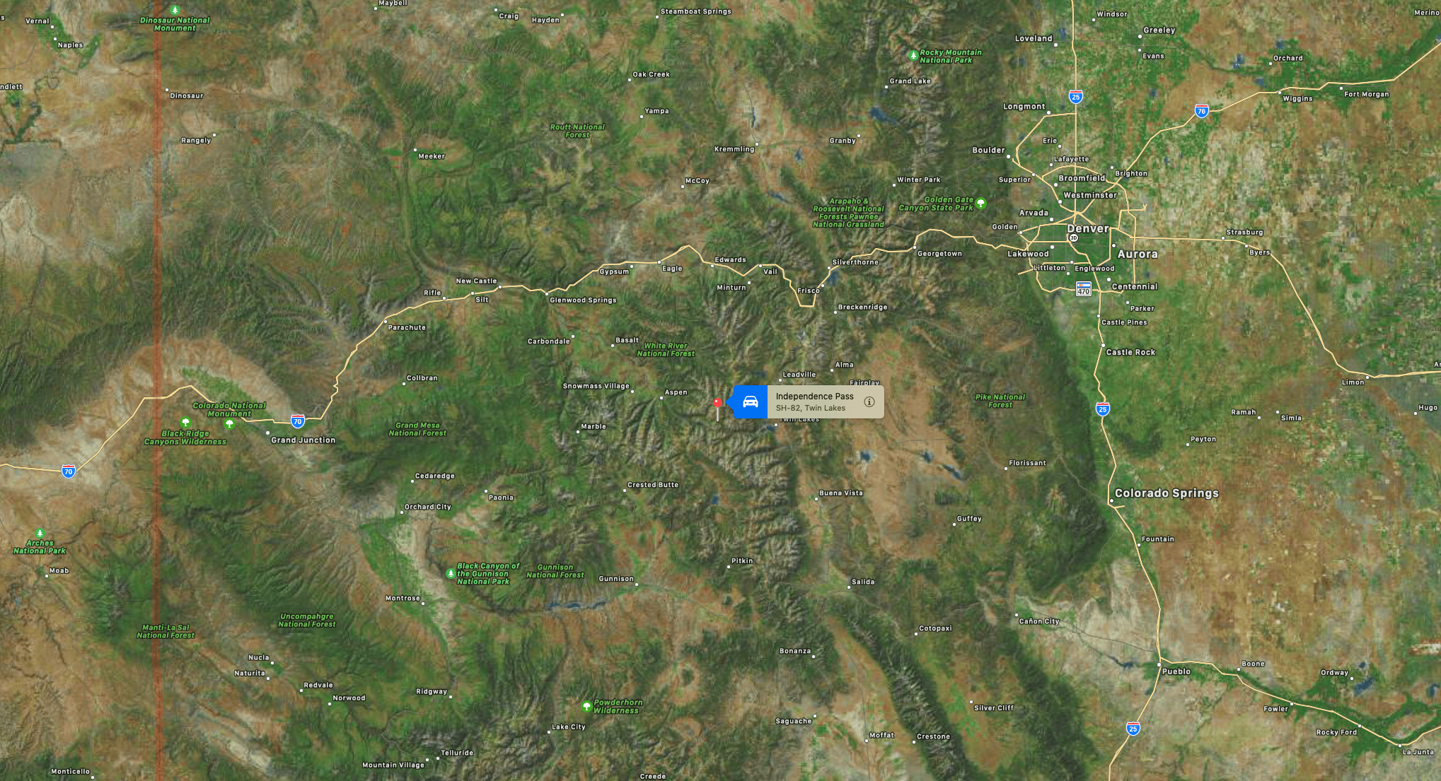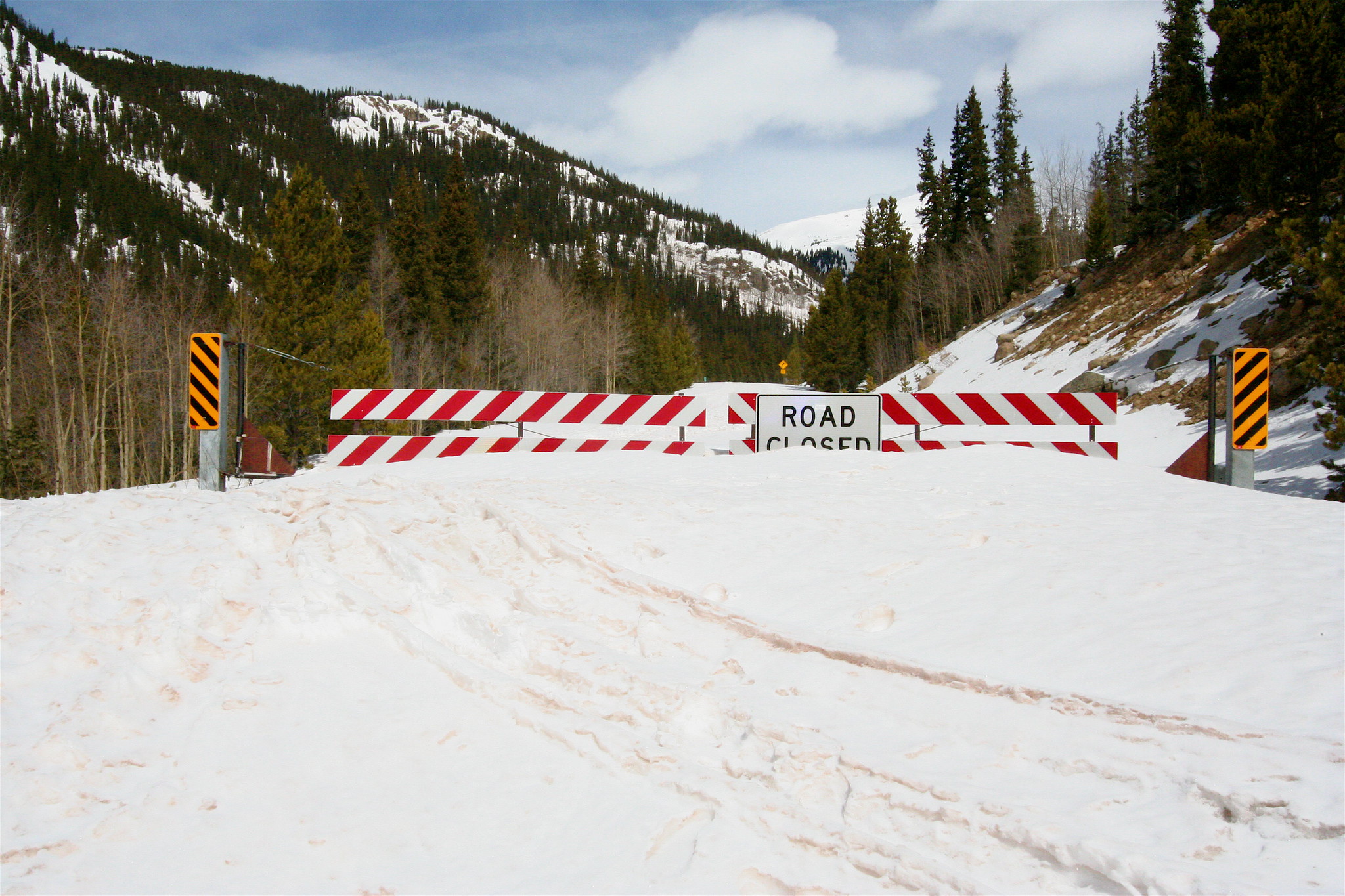
There’s now only one way for motorists to get in and out of Aspen until late May. The Colorado Department of Transportation announced yesterday it had closed the Independence Pass winter gates on Highway 82 between Aspen and Twin Lakes for the season after a foot of snow blanketed the scenic bypass over the weekend.
Due to continuing winter weather conditions, including significant early snowfall this past weekend, the seasonal closure is now in place. The seasonal closure, which takes place every year, is necessary to keep maintenance equipment operators and the traveling public safe during the winter season. Plowing steep switchbacks on CO 82 on either side of the pass is not safe during winter months, and sections of the roadway are exposed to significant avalanche hazard.
Closure gates will continue to be closed near Aspen and Twin Lakes. Motorists can reach Aspen from the Denver Metro Area via westbound I-70 to Glenwood Springs, then south on CO 82 to Aspen. CDOT typically reopens the pass on the Thursday prior to the Memorial Day holiday weekend, weather permitting.
https://twitter.com/ColoradoDOT/status/1719079876076929208
The pass typically closes within the first two weeks of November and reopens the Thursday before Memorial Day, weather permitting. Dates for closures in previous years are:
- 2011 November 2
- 2012 November 9
- 2013 November 4
- 2014 November 12
- 2015 November 4
- 2016 November 17
- 2017 November 17
- 2018 November 5
- 2019 October 28
- 2020 November 13
- 2021 October 28
- 2022 November 4
Independence Pass is a Colorado Scenic and Historic Byway that is maintained by CDOT. It is the highest paved state highway in Colorado, crossing the Continental Divide at 12,095 feet. Though it is a paved road, it is also narrow and curvy on several stretches and, therefore, difficult to traverse in poor weather. The pass also has steep drop-offs in places along the route. Several areas of the roadway can only accommodate a single car width, so drivers must use caution and pay close attention when confronted with oncoming traffic.
The summit of Independence Pass is located 18 miles west of Twin Lakes and 19 miles east of Aspen and crosses the Continental Divide over the Sawatch Range. The Pass travels through 32 miles of mountainous terrain. It winds through the San Isabel National Forest on the east and White River National Forest on the west side of the Divide.
During the winter months, heavy snowfall at the highest elevations of the pass makes it impossible to travel. Independence Pass is generally open during the summer months, from Memorial Day through November, depending on weather conditions.
For more info on Colorado road conditions, visit http://www.COTRIP.org.