Report from December 28th, 2018.
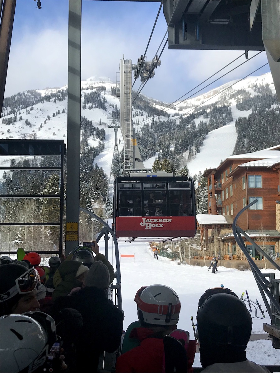
Today was our 2nd day of the season at Jackson Hole Mountain Resort, WY.
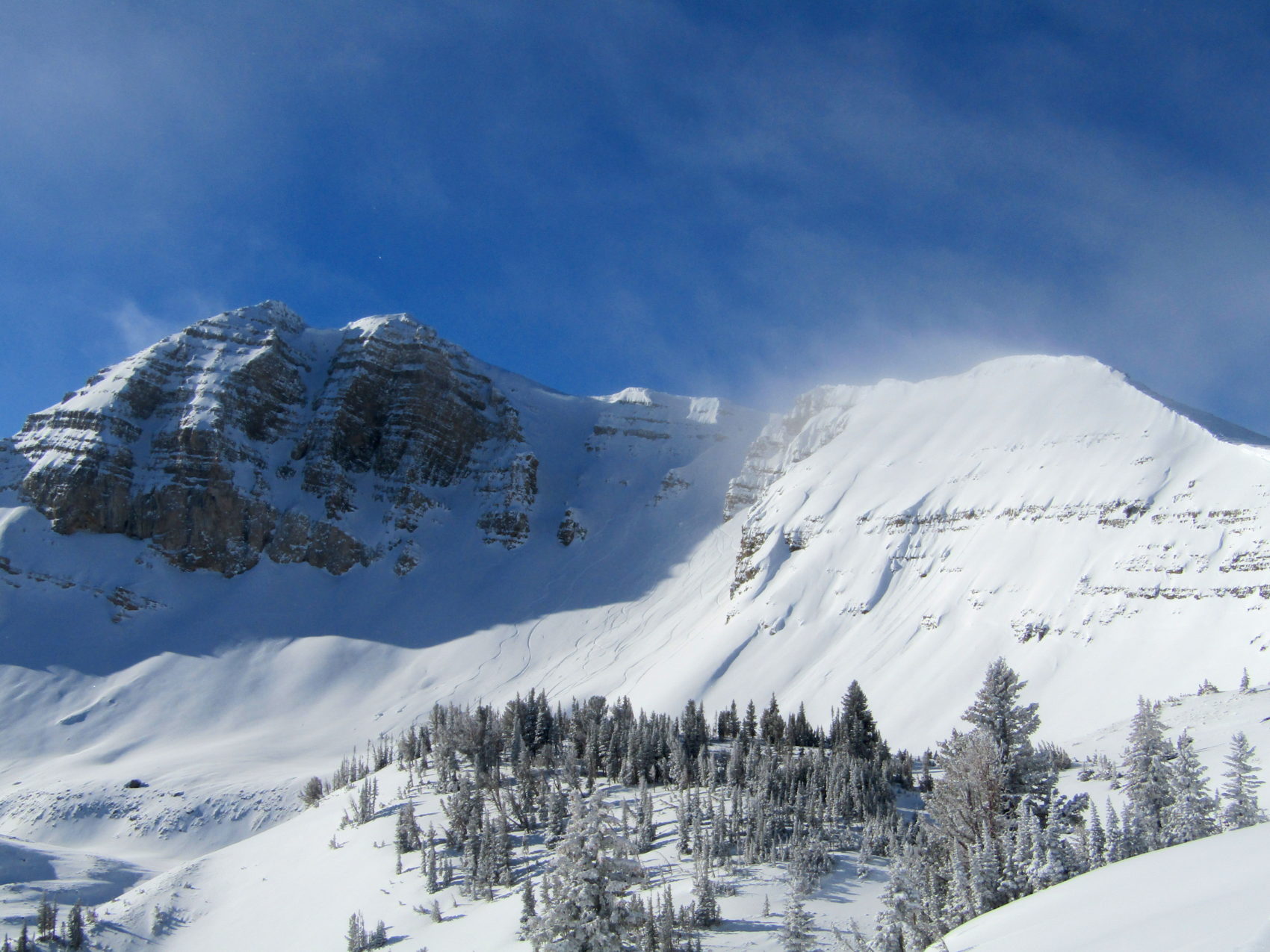
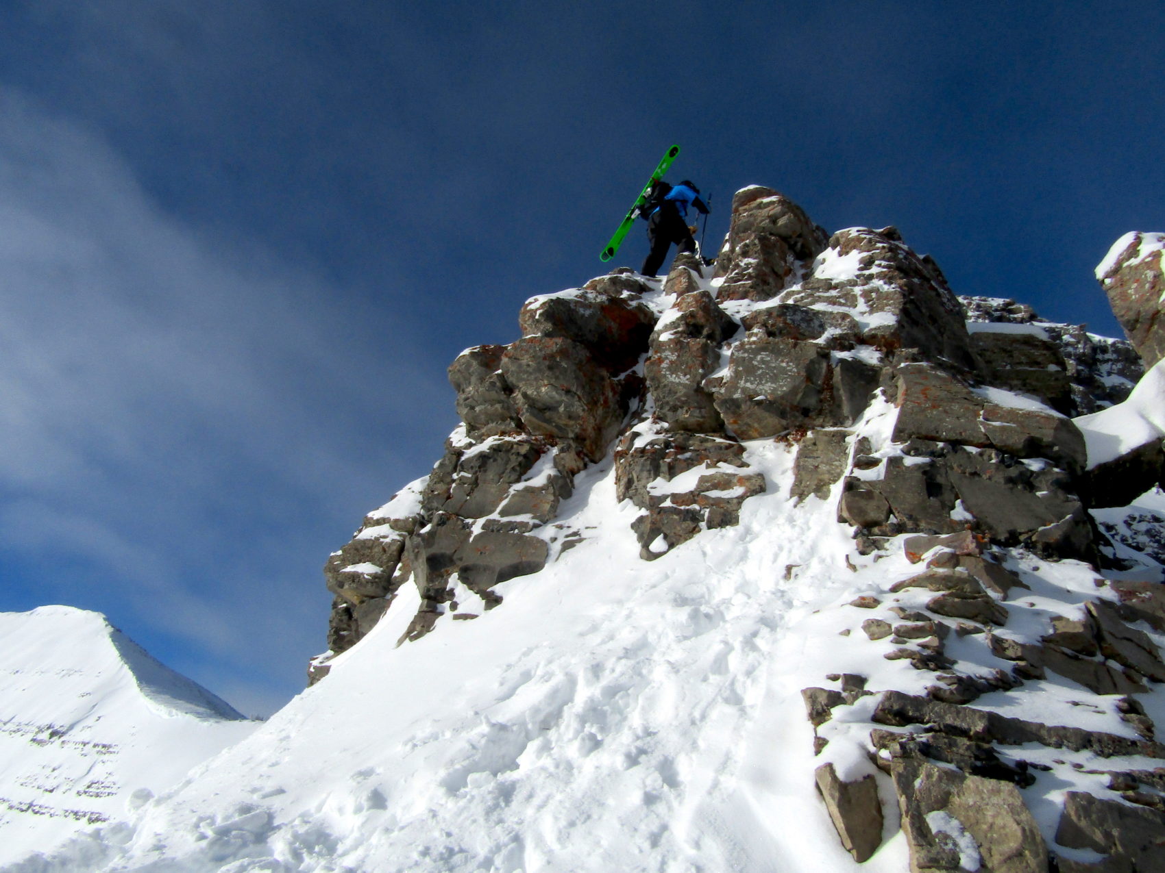
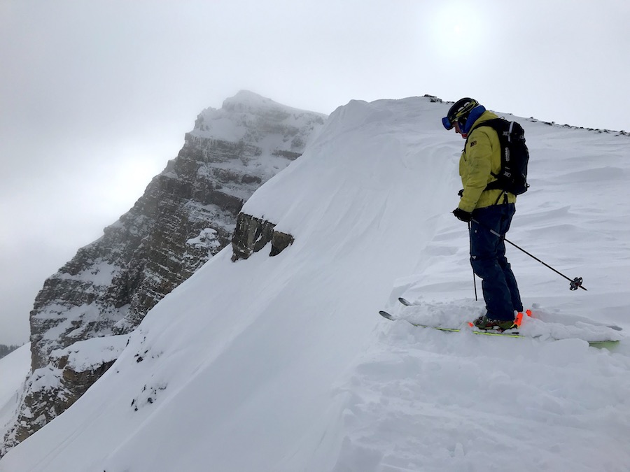
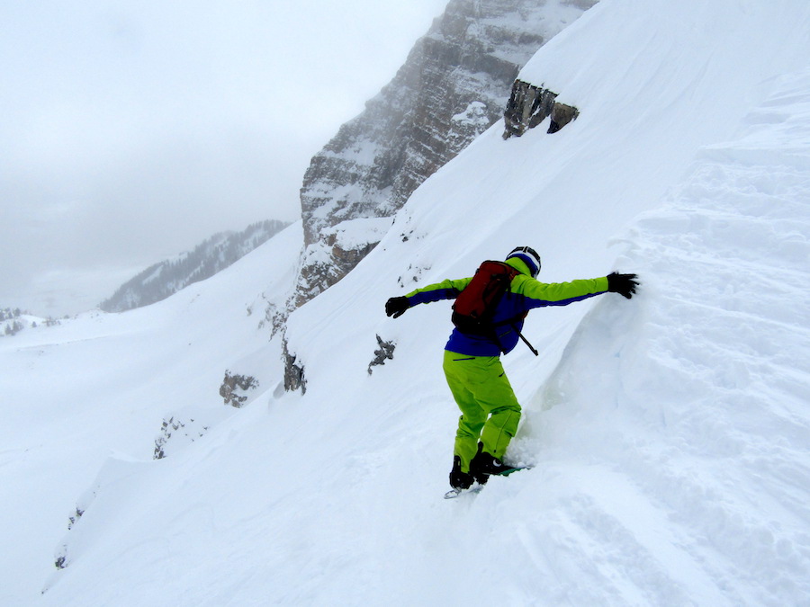
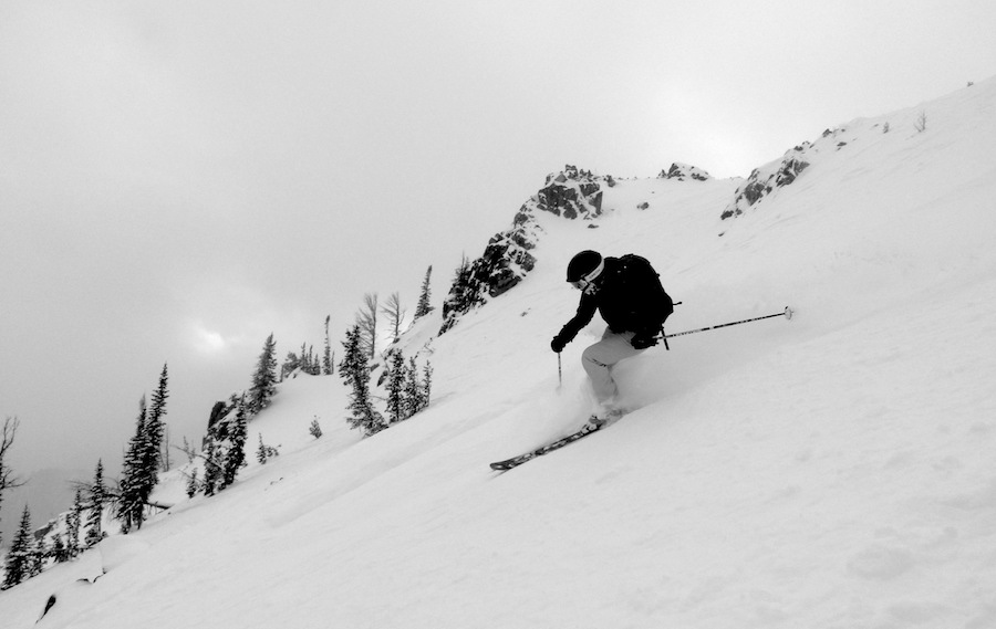
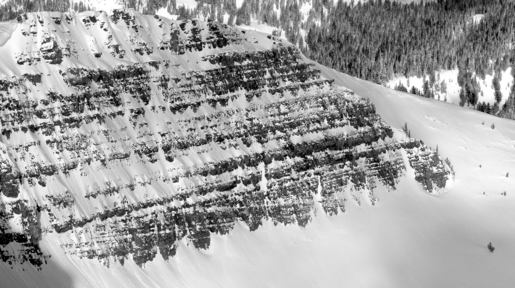
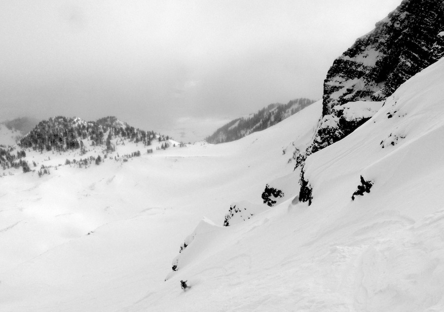
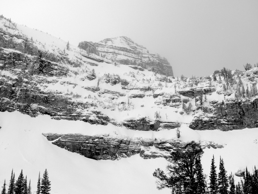
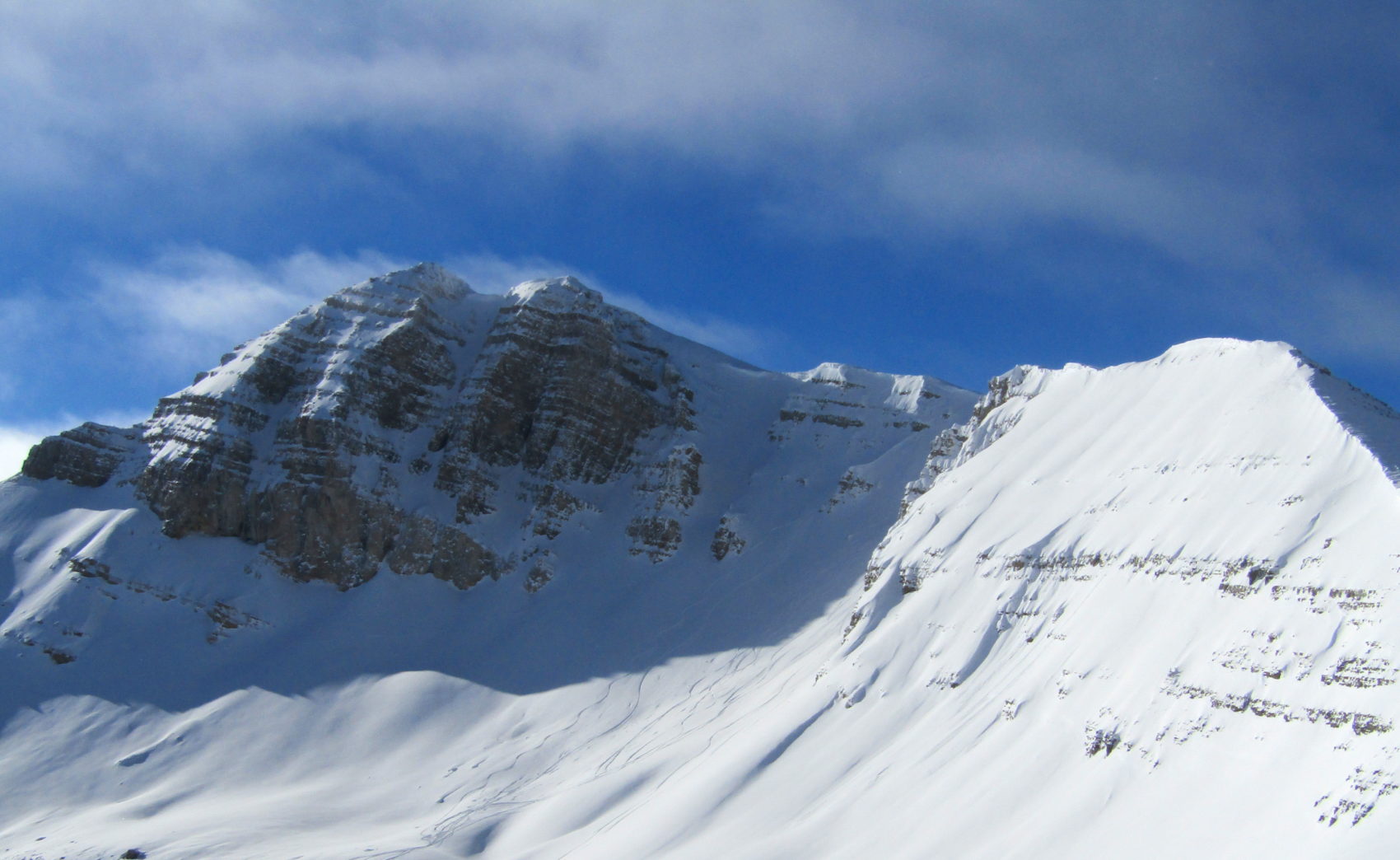
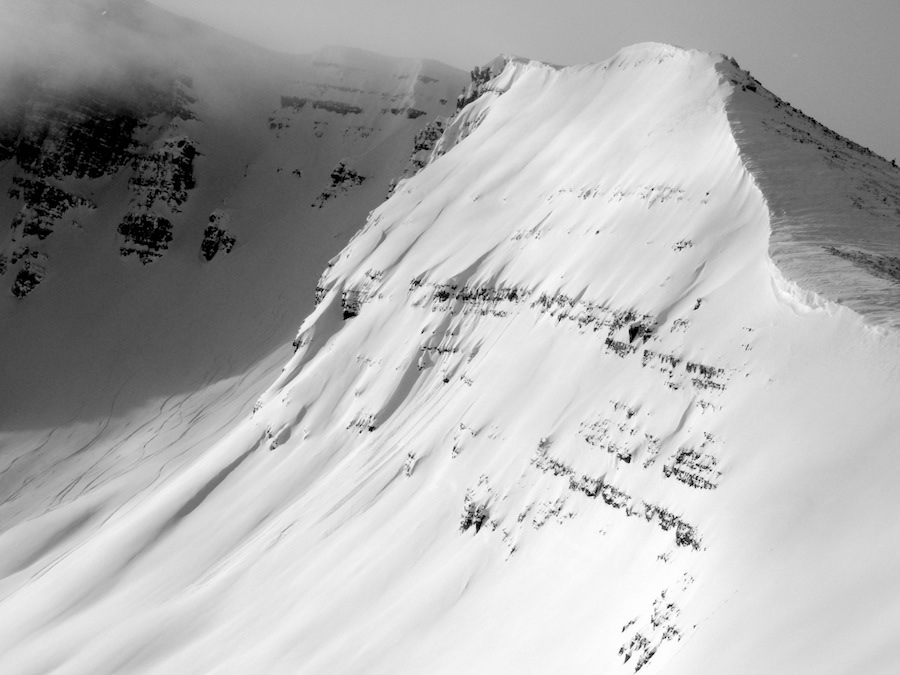
We hiked straight out to Cody Bowl.
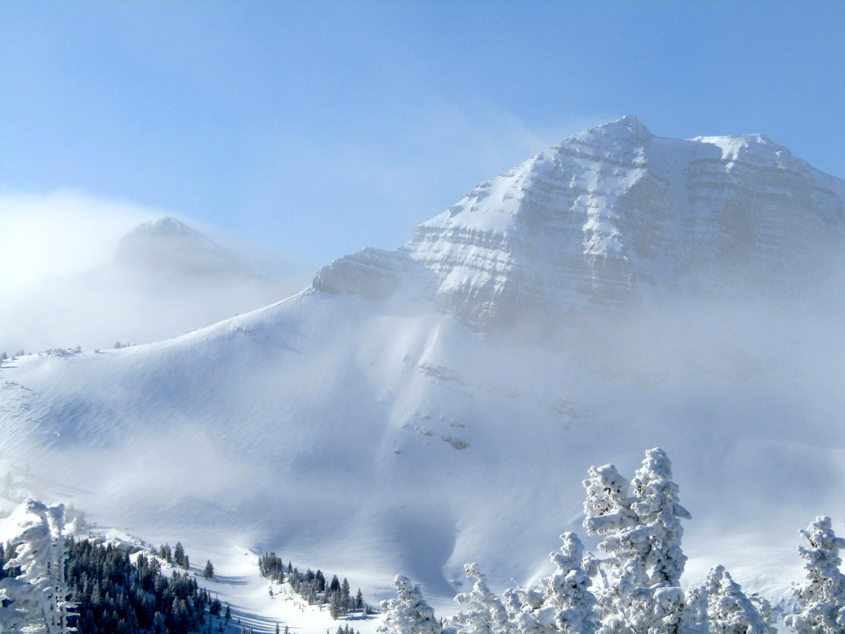
Cold and windy up there.
High of 11ºF today above 10,000′.
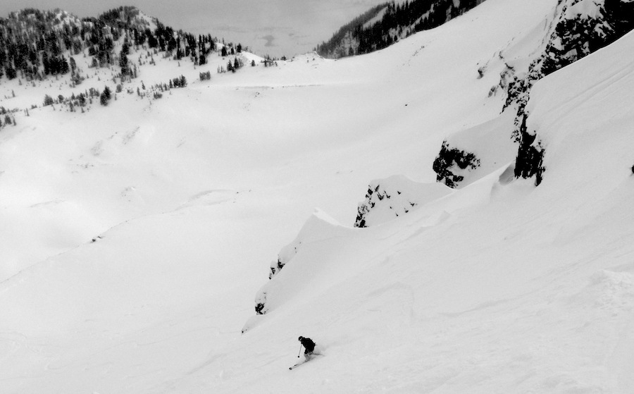
The light was better than yesterday and the visibility skiing down wasn’t bad.
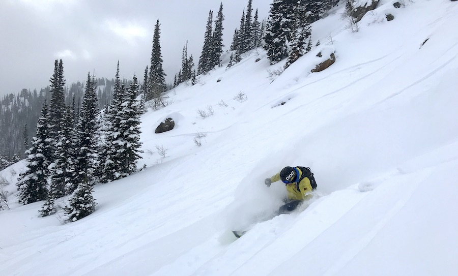
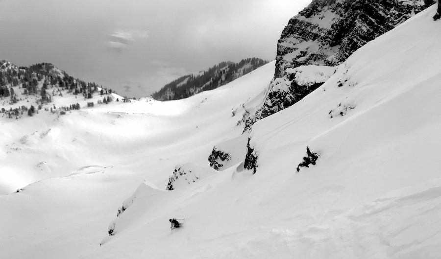
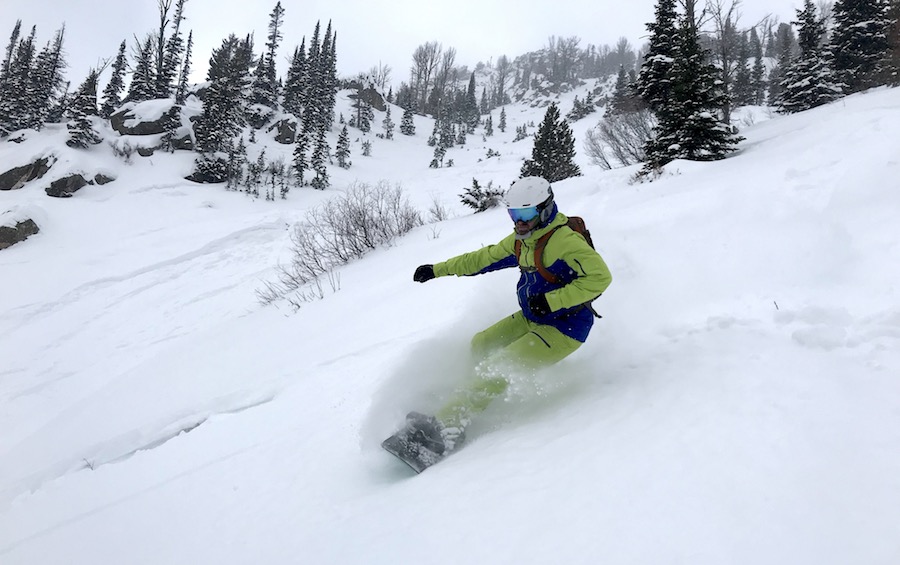
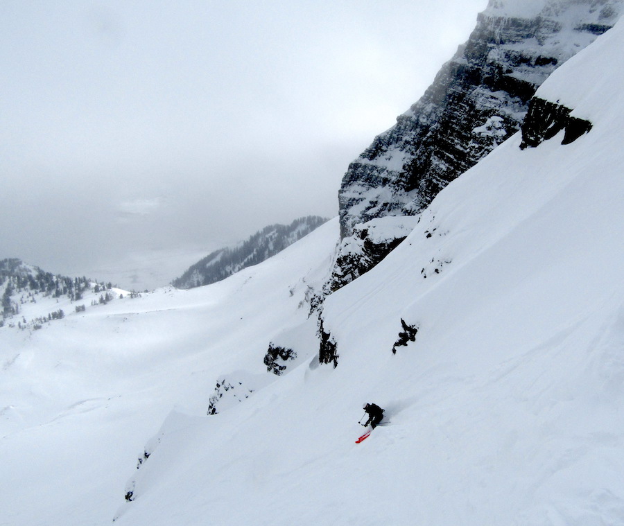
After Cody, we hiked out a bit down lower and the snow was good but thin.
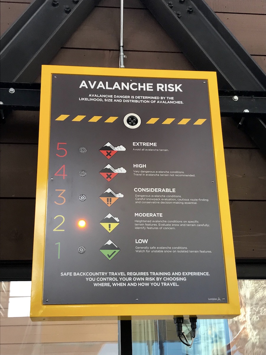
Inbounds is skiing great and there is big snow in the forecast.
NOAA has issued a Winter Storm Watch for Saturday and Sunday:
* WHAT...Heavy snow possible. Total snow accumulations of 3 to 6 inches possible in the
lower elevations, with 4 to 8 inches possible. Winds could gust as high as 45 mph.
- NOAA, today
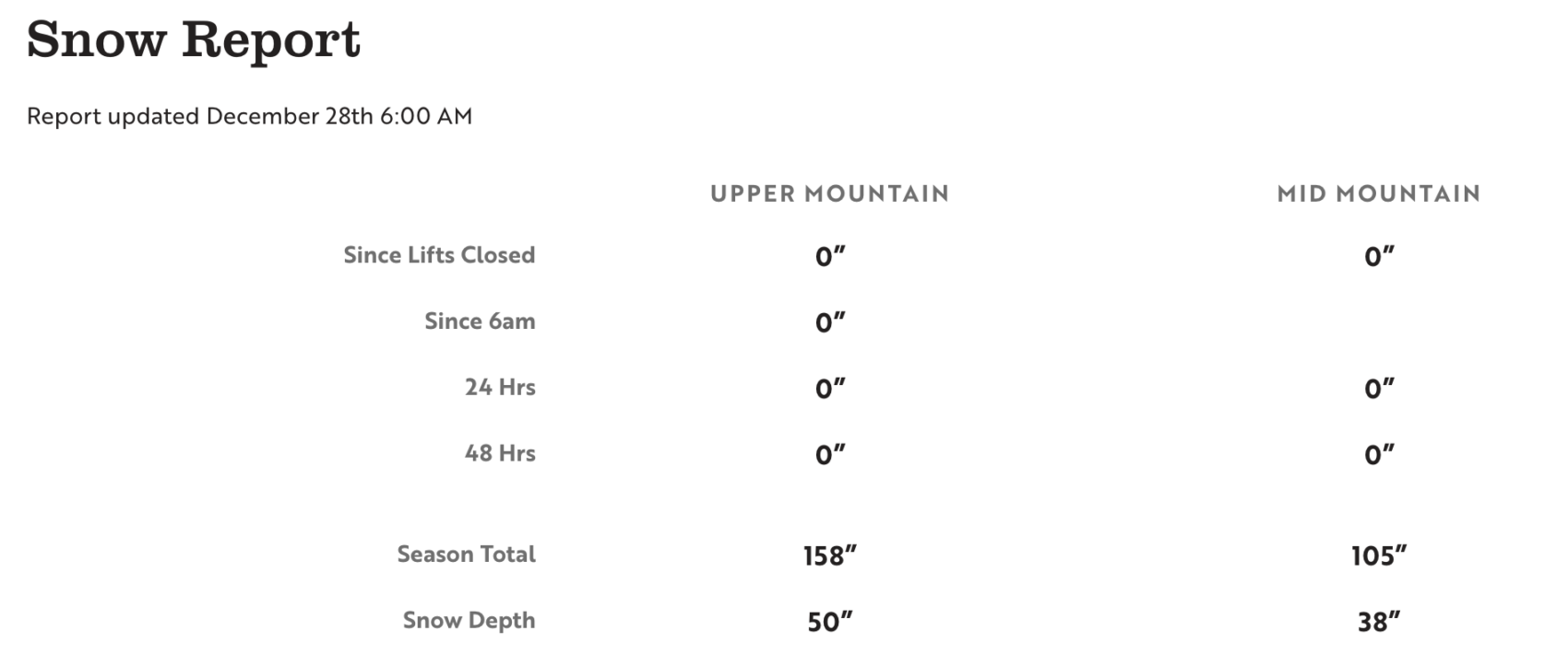
SNOW NUMBERS:
FORECAST:
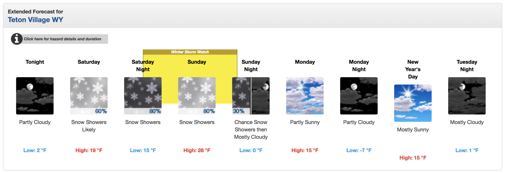
Winter Storm Watch
URGENT - WINTER WEATHER MESSAGE
National Weather Service Riverton WY
258 PM MST Fri Dec 28 2018

...Strong winter storm to bring snow, cold, and wind Saturday
night into Sunday...

.A fast moving winter storm will bring colder temperatures,
moderate snowfall, and strong wind to Wyoming this weekend. Strong
wind ahead of the storm will start Saturday from southwest into
central and southeast Wyoming. Moderate to heavy snow will begin
Saturday night in northwest WY and spread to the southeast Sunday,
as a front moves through the area. Moderate to strong wind will
create hazardous travel conditions for most of the state. Very
cold temperatures will be over the area Monday into Tuesday.

Yellowstone National Park-Absaroka Mountains-
Teton and Gros Ventre Mountains-Jackson Hole-Star Valley-
Salt River and Wyoming Ranges-
Including the cities of Lake, Mammoth, Old Faithful, Pahaska,
Alta, Jackson, Afton, Alpine, Star Valley Ranch, Thayne,
and Fossil Butte National Monument
258 PM MST Fri Dec 28 2018

...WINTER STORM WATCH IN EFFECT FROM LATE SATURDAY NIGHT THROUGH
SUNDAY EVENING...

* WHAT...Heavy snow possible. Total snow accumulations of 3 to 6
  inches possible in the lower elevations, with 4 to 8 inches
  possible. Winds could gust as high as 45 mph.

* WHERE...Portions of northwest and west central Wyoming.

* WHEN...From late Saturday night through Sunday evening.

* ADDITIONAL DETAILS...Travel could be very difficult. Blowing
  snow could significantly reduce visibility. Gusty winds could
  bring down tree branches. The cold wind chills as low as 25
  below zero could cause frostbite on exposed skin in as little as
  30 minutes.
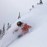
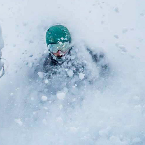
PHOTOS: