Report from 2nd August 2020
We left home in Snowmass Village, CO at 6:30 am and made our way to CO-82. We drove over Independence Pass and dropped down the other side toward Twin Lakes. We reached the trailhead at about 7:25 am and began hiking at 7:30.
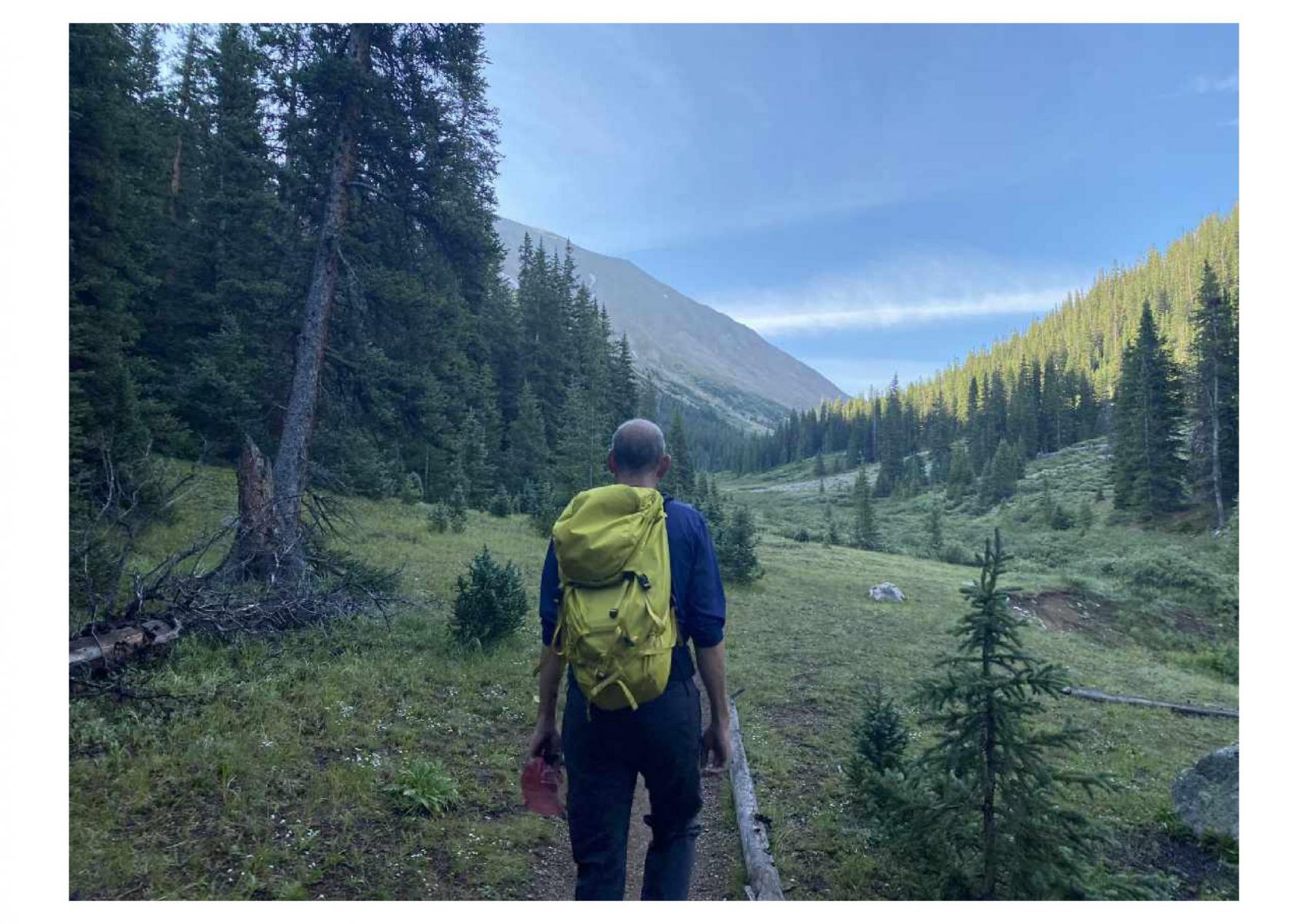
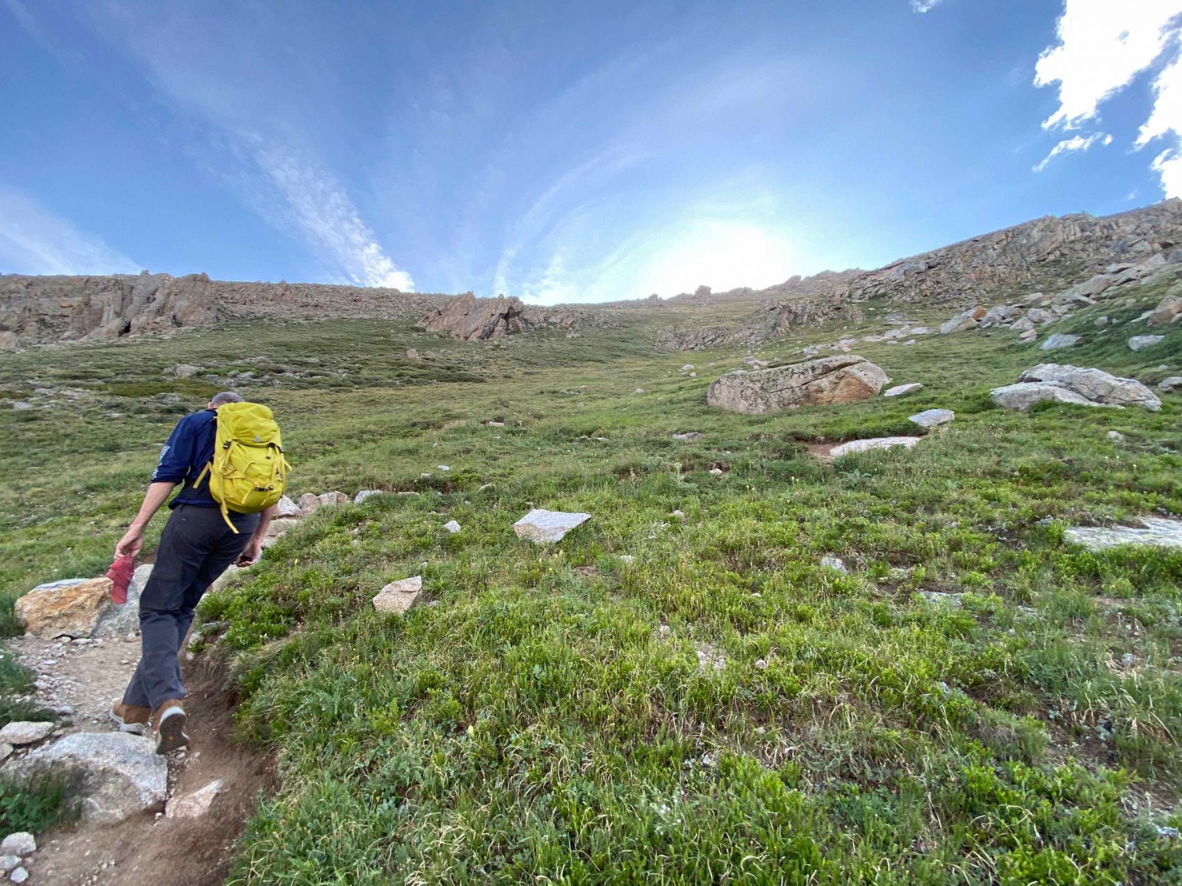
The trail begins as a dirt road but quickly becomes a well-maintained singletrack trail meandering through the woods toward La Plata Gulch. The first half mile or so is relatively flat, with some up and down here and there.
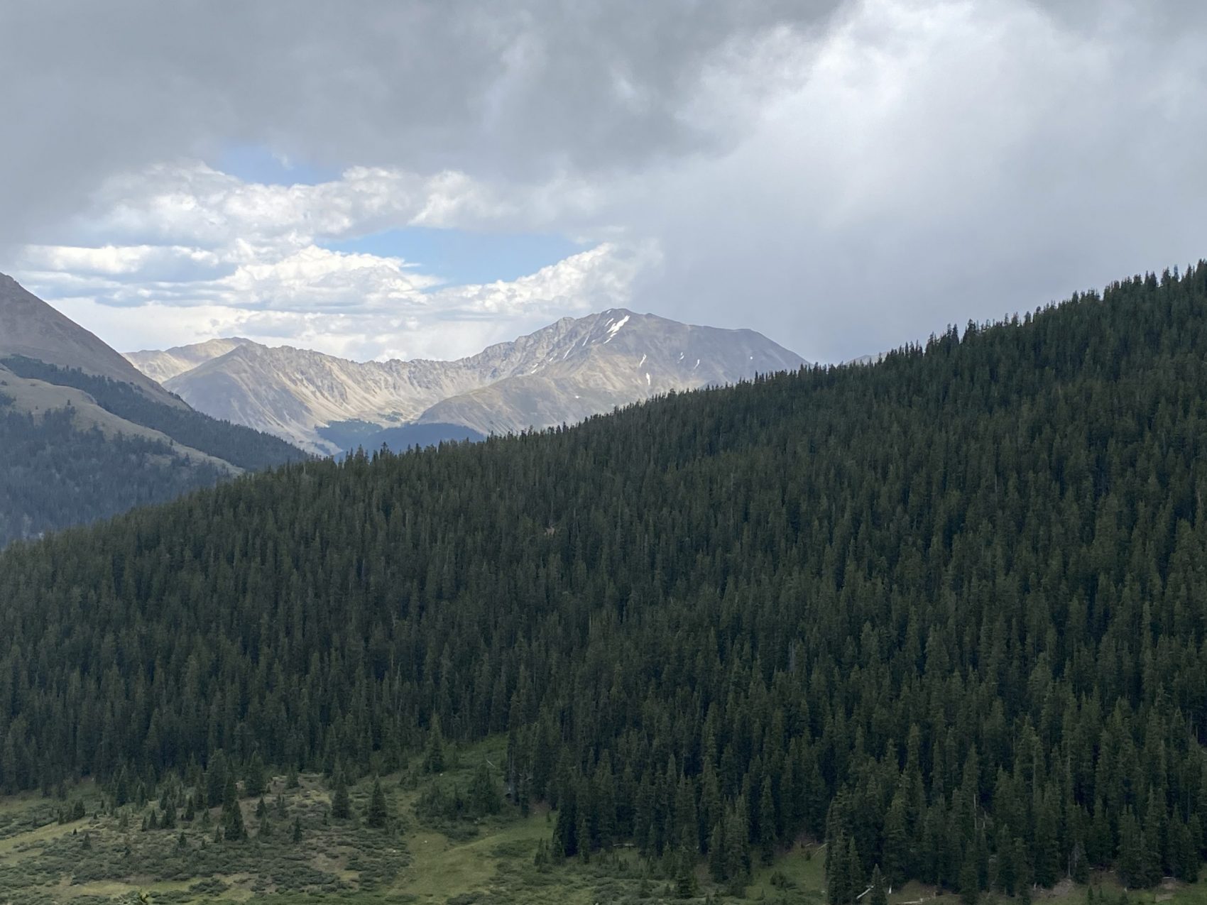
After almost an hour of hiking, we began to emerge from the woods and we got our first good look at the peak. From the base of the mountain, it looks impossibly large, rising nearly 4,000 feet out of La Plata Gulch.
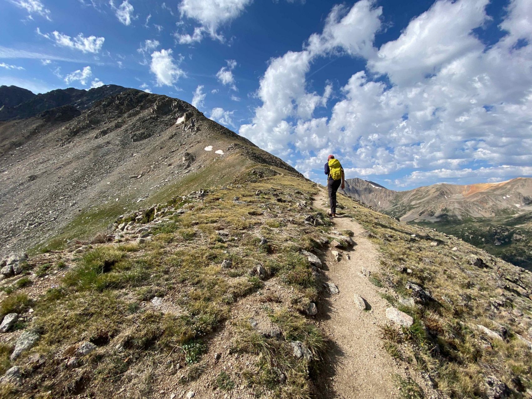
20 minutes later we hit the first series of switchbacks, which went STRAIGHT up toward the northwest ridge of La Plata.
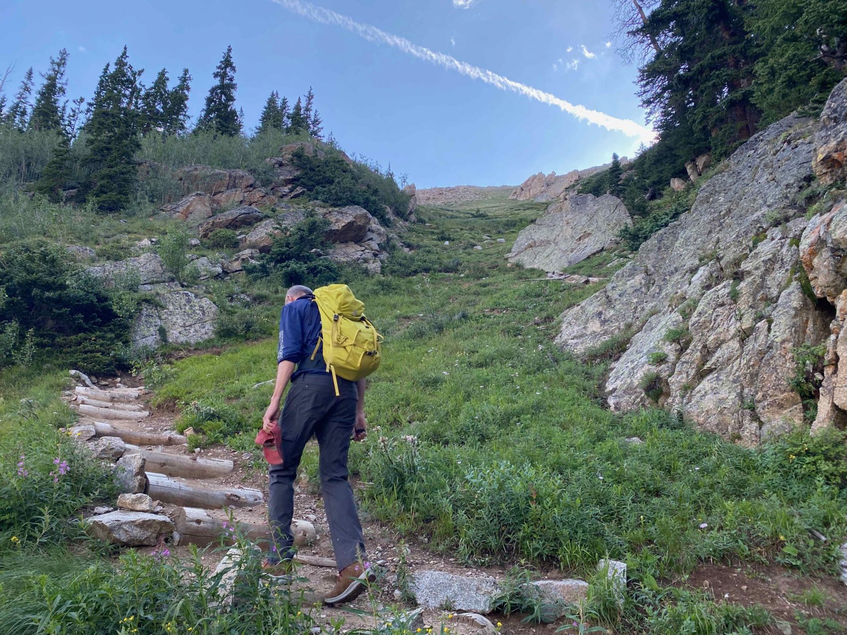
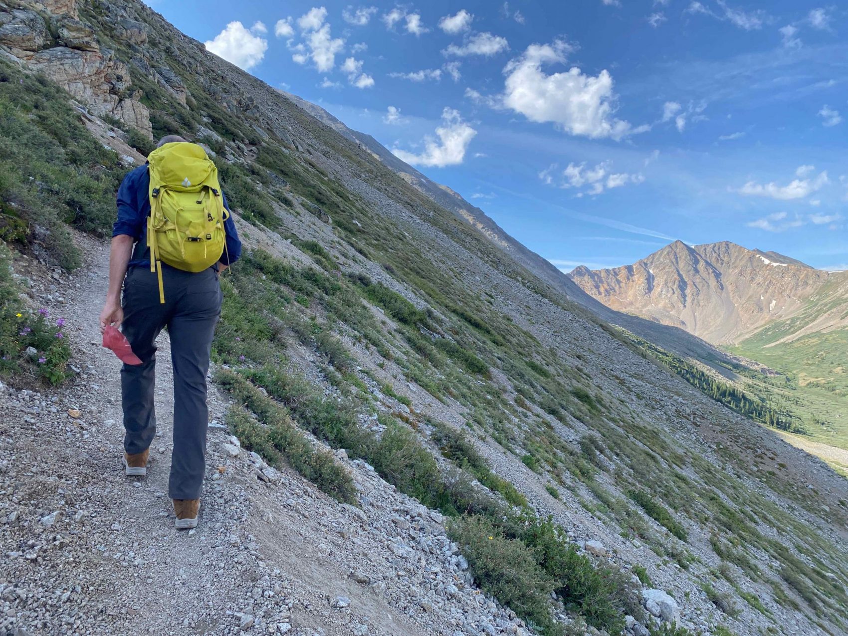
After the first chute of switchbacks, the trail angle briefly mellowed out before continuing up towards the ridge.
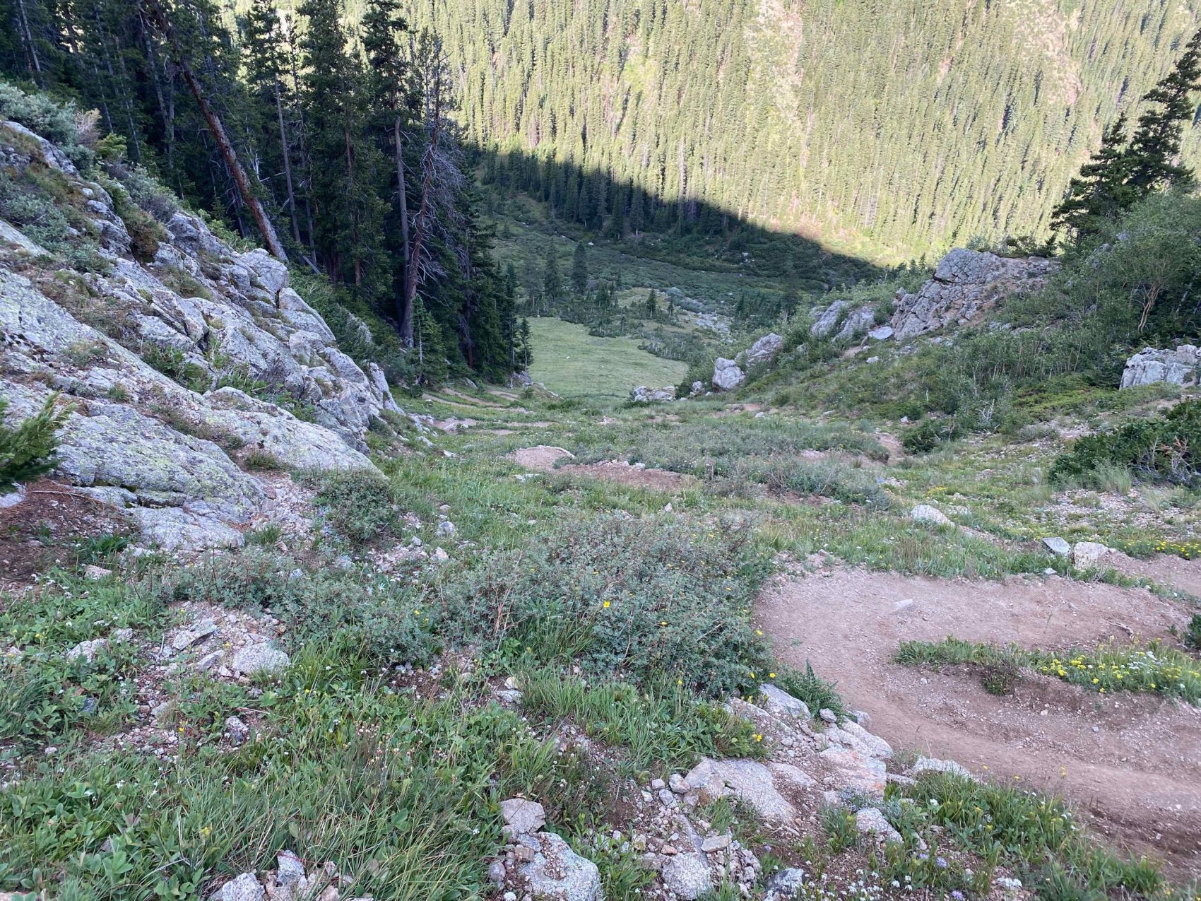
The trail continued the steep pitch before a break, where it mellowed out into an upper basin just below the ridge. From La Plata Gulch to the upper basin, the trail climbed 1500 vertical feet in just 1/2 mile!
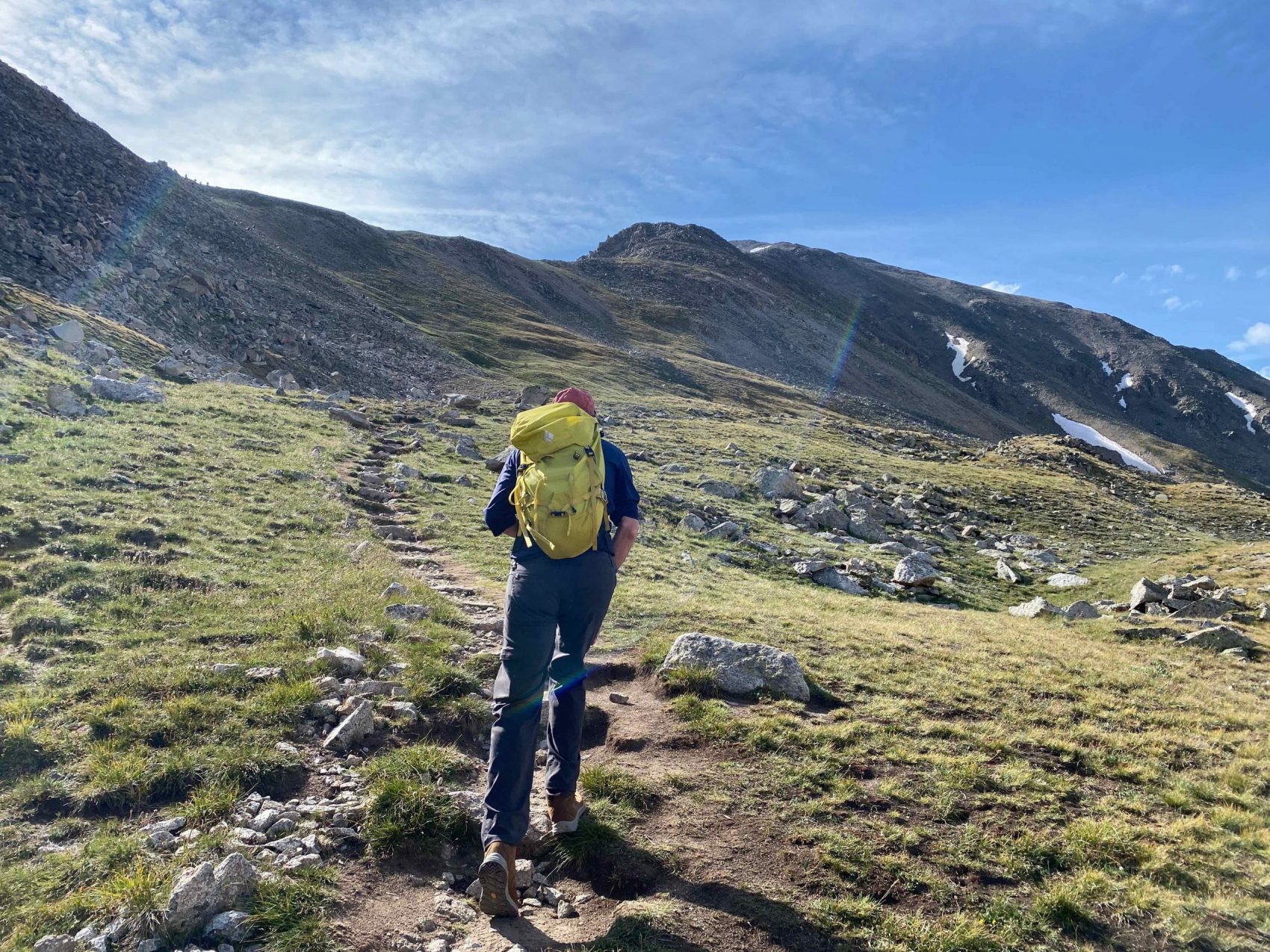
The trail gained the ridge immediately after the basin, and we reached the ridge at 9:25 am, about 2 hours after the start of our hike.
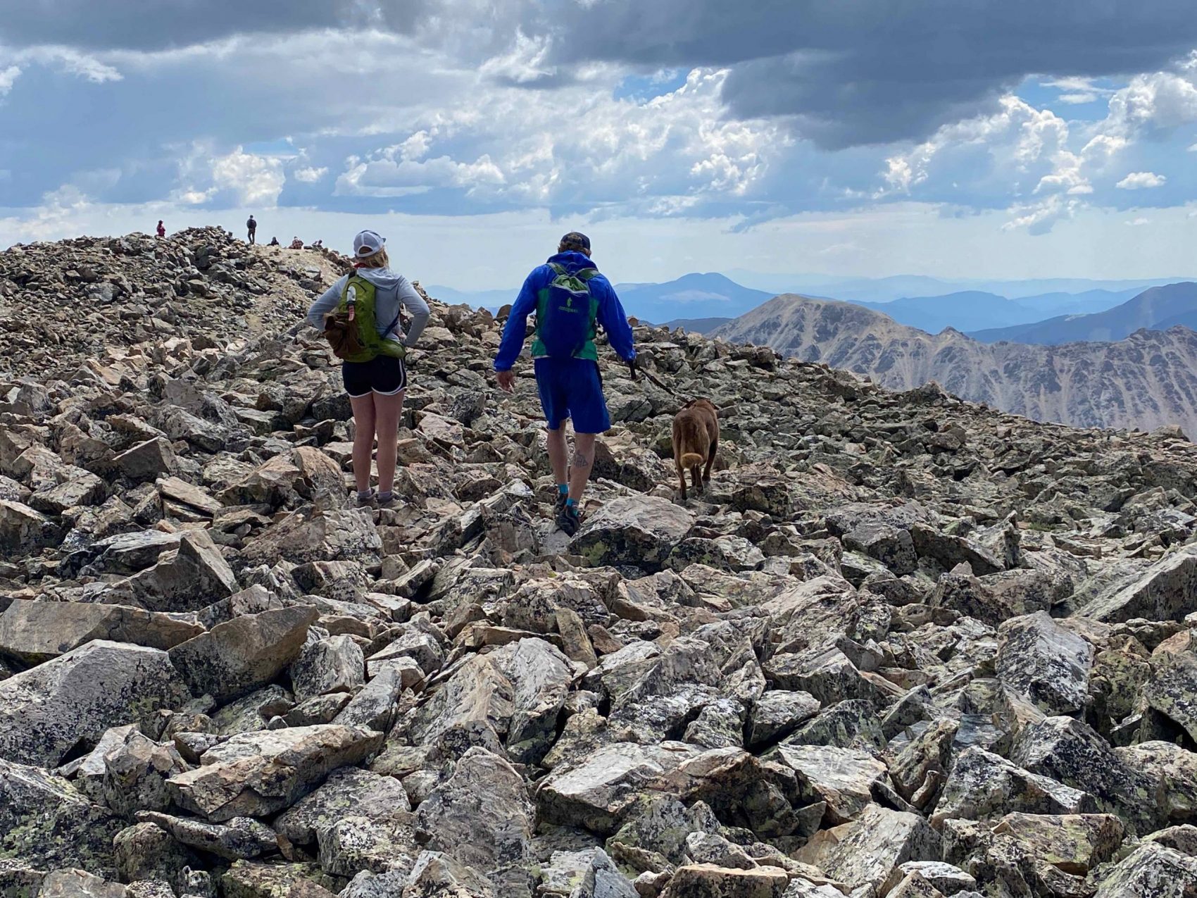
We encountered a few people coming down from the summit while we ascended the ridge. It was frustrating to have to move off the trail and mask up to keep up to COVID standards, but at the end of the day, public health is a priority.
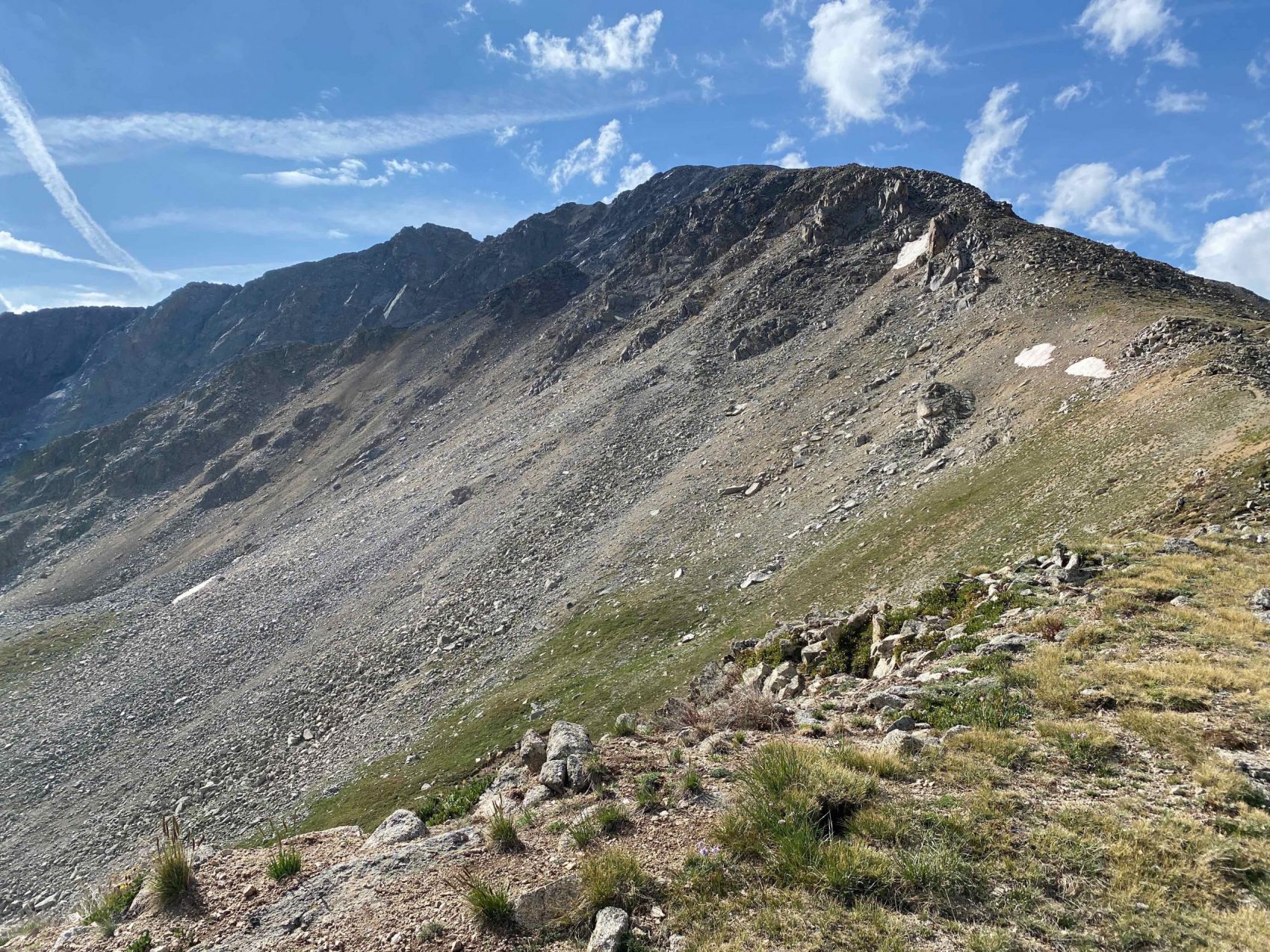
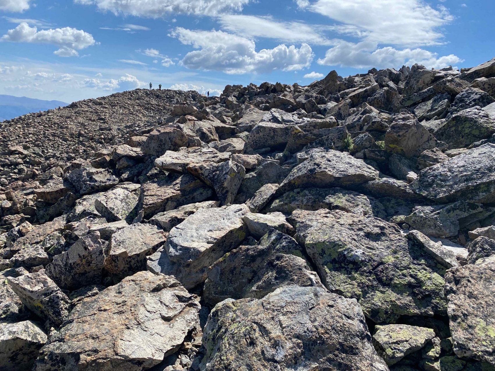
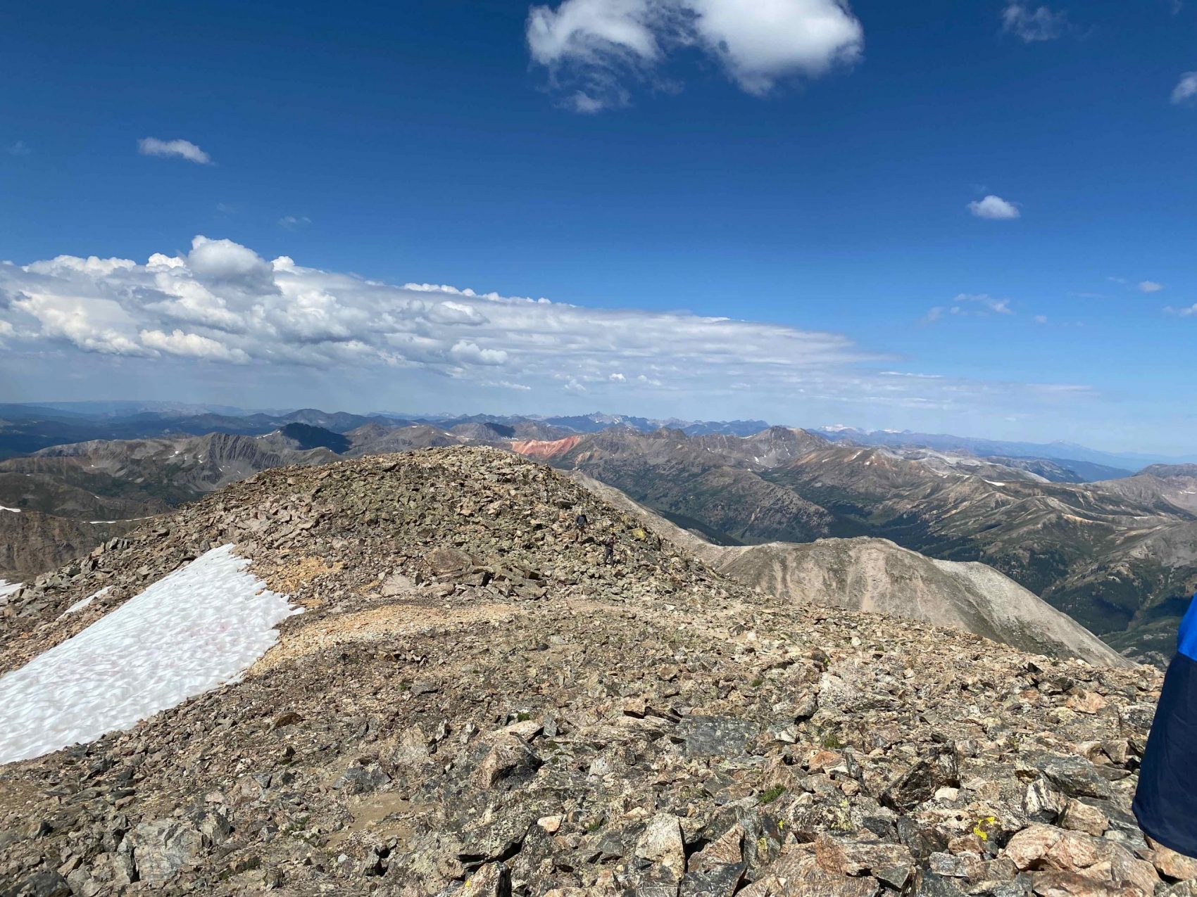
The trail became more and more convoluted until it turned into a full-on rock scramble, forcing us to pick the path of least resistance. This section of the climb was fairly hand and focus intensive, and I wasn’t able to get any photos of it. It is easy to understand how people can get lost or hurt on this pitch easily.
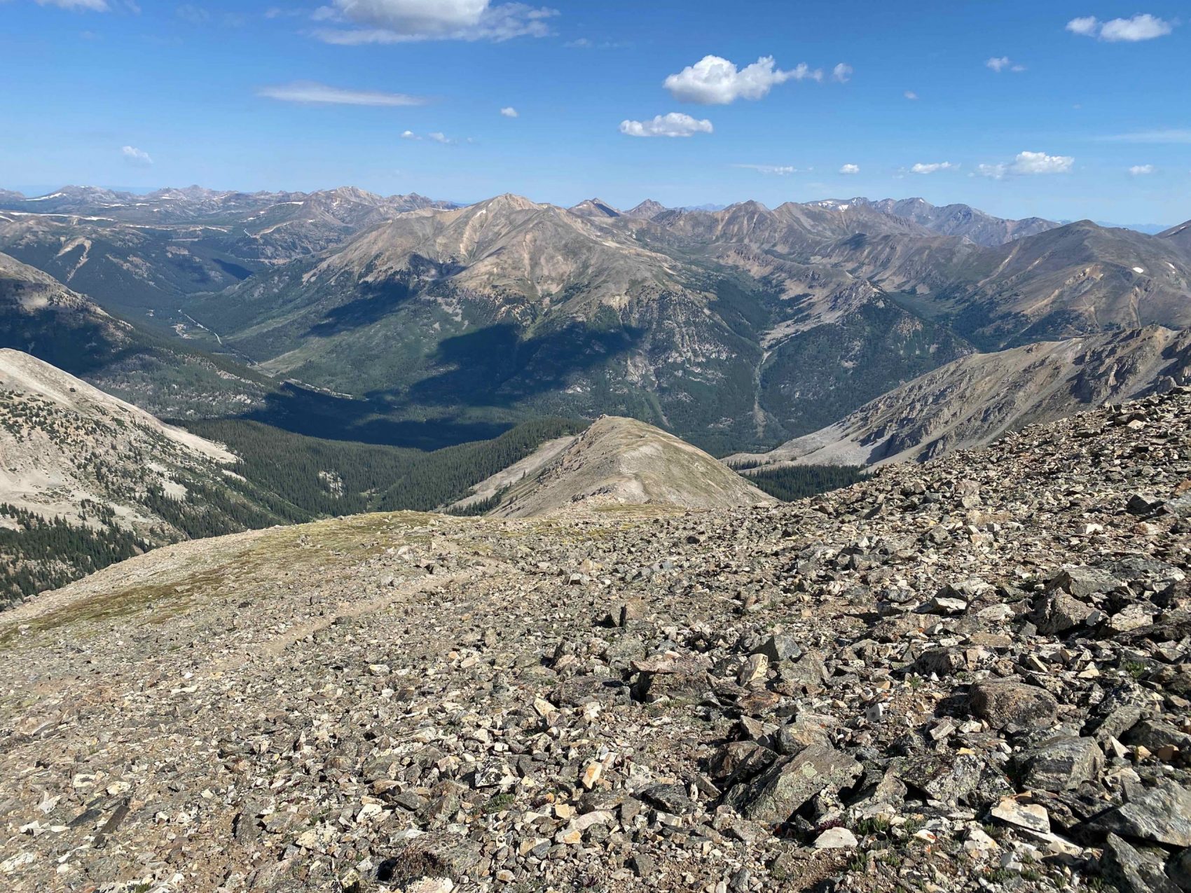
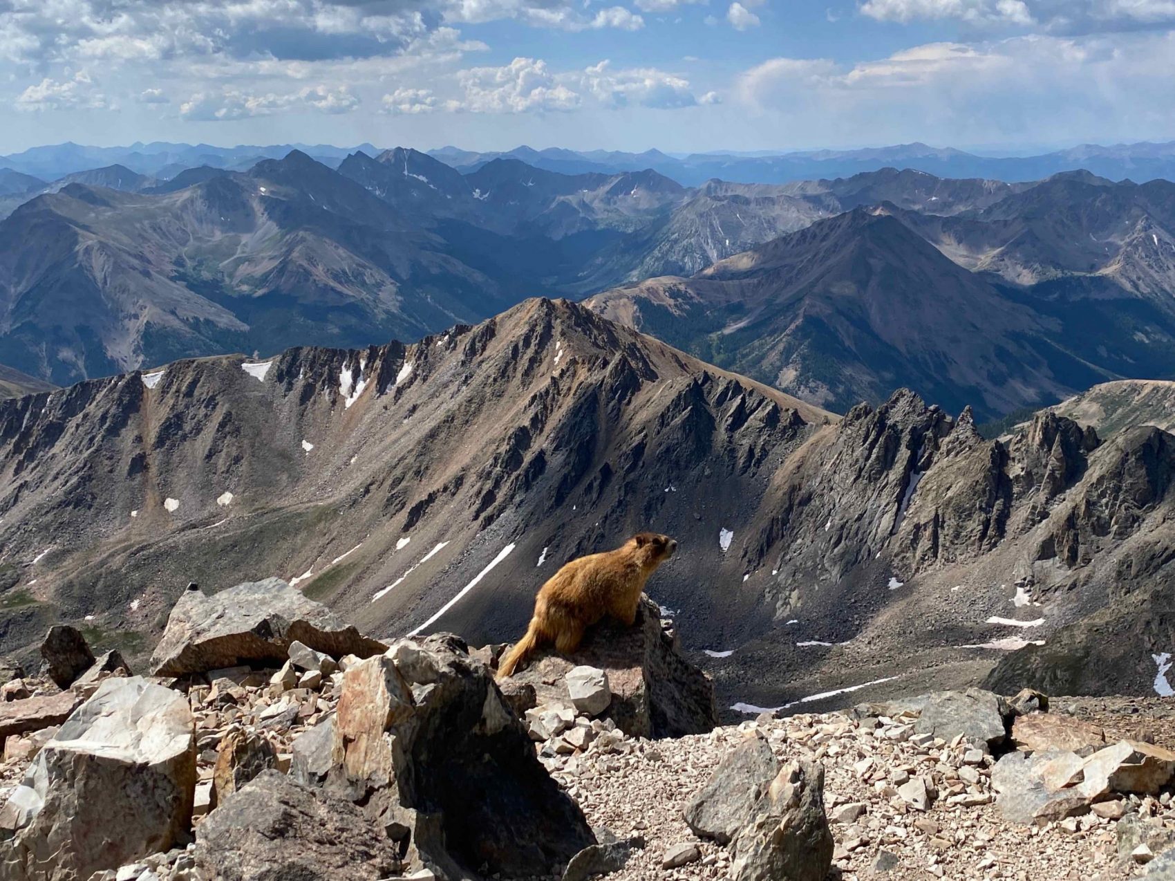
We gained up to the final ridge push to the summit, which provided awesome views of La Plata Gulch and CO-82 thousands of feet below.
The trail was nowhere to be found as we gradually made our way up to the summit, which had only a few people on top. Masks on, we continued on to the summit, with extra motivation from the top being in sight just a few minutes away!
At last, we summited La Plata at 10:45 am. We covered about 5 miles with 4,500 feet of vertical gain in a little over 3 hours, which comes to a relatively fast pace of almost 1,500 feet per hour, impressive considering the poor shape of the route in the final 2,000 vertical feet or so.
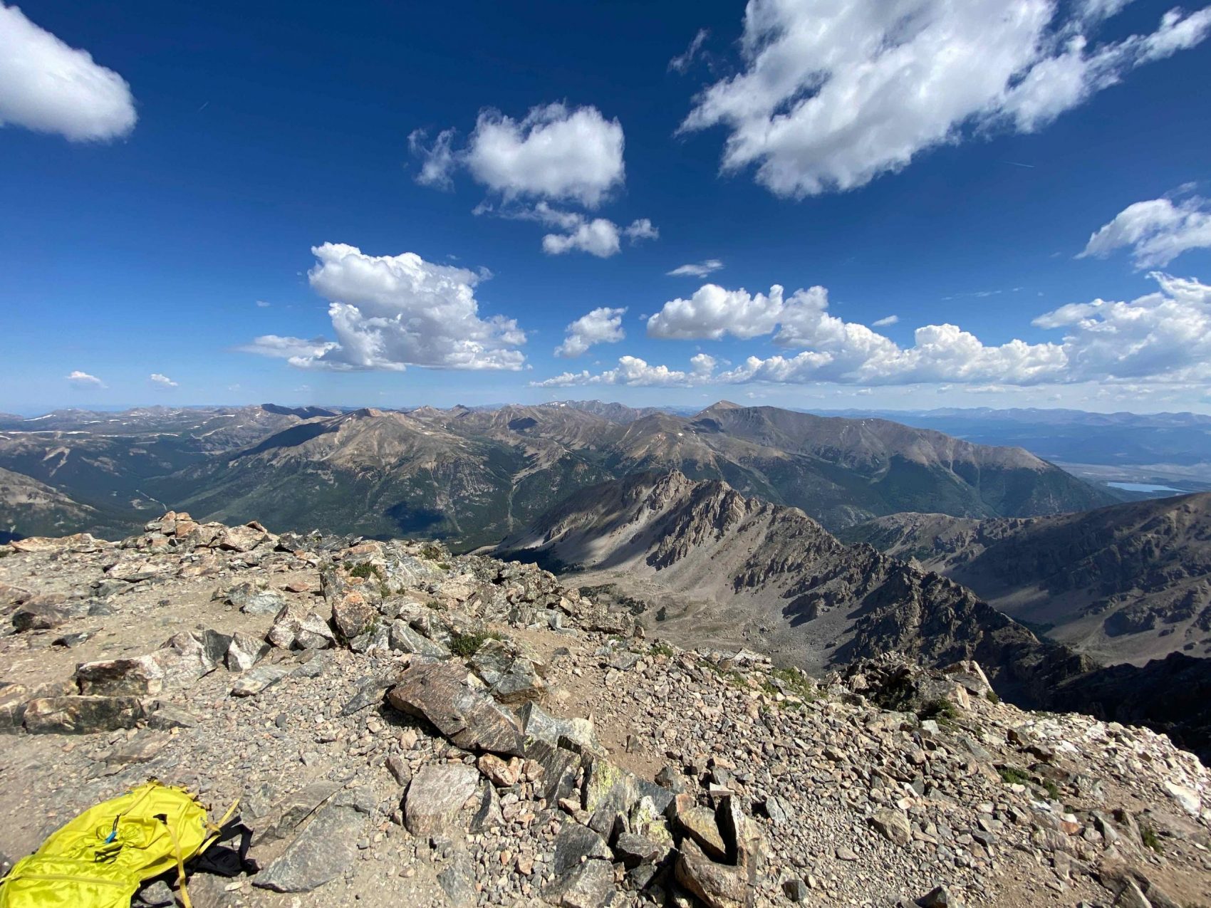
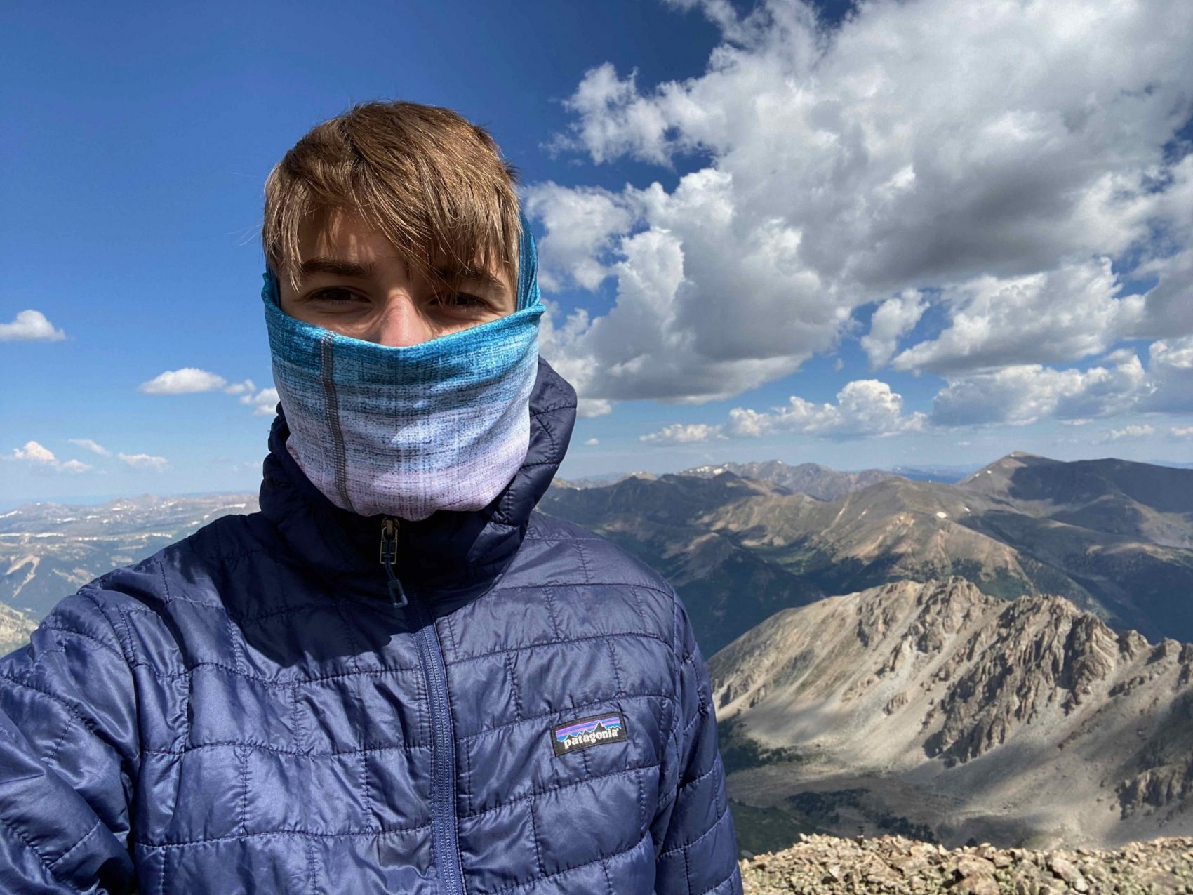
We enjoyed about 25 minutes of socially distanced bliss at 14,360 feet, after which we began our descent. The rock was loose and difficult to travel downhill on, resulting in our pace being nearly the same speed as the way up. We had to be cautious of triggering rockfall on other climbers beneath us.
When we were about halfway down, some afternoon rain rolled through, forcing us to don our rain gear. It had cooled down by about 7 degrees, meaning that the summit likely saw some snow after we had left (it was 45F when we were on the peak).
We continued to meander our way down to the trailhead, finally reaching it at about 2 pm.
Super awesome day, I’ll be back in the future!
La Plata Peak Details:
- Car 10,000′ at La Plata Peak Trailhead.
- Vertical Climbed 4,500′
- Distance: 10-miles round trip
- Car to Car Time: 6.5 hours
- Recommended Equipment: sturdy hiking boots, warm layers, rain gear, water, food, crampons for early season (May/June)
Nice work, dudes! The down coming people should have moved off the trail, you had the right of way