NASA is on a mission to accurately measure the world’s snow water equivalent (SWE), but why do we care? SWE is a calculation of how much liquid water is in a given snowpack or the depth of the snowpack multiplied by the density. If you are a winter recreator you are probably familiar with SWE even if you have never heard the term. If you like fluffy powder face shots that snow has an extremely low SWE, however, if you live in the Pacific Northwest you might be more familiar with “Cascade Cement”, which has a very high SWE.
- Related: Warming Temperatures Means Snowpack Will No Longer Be a Viable Drought Predictor, Paper Claims
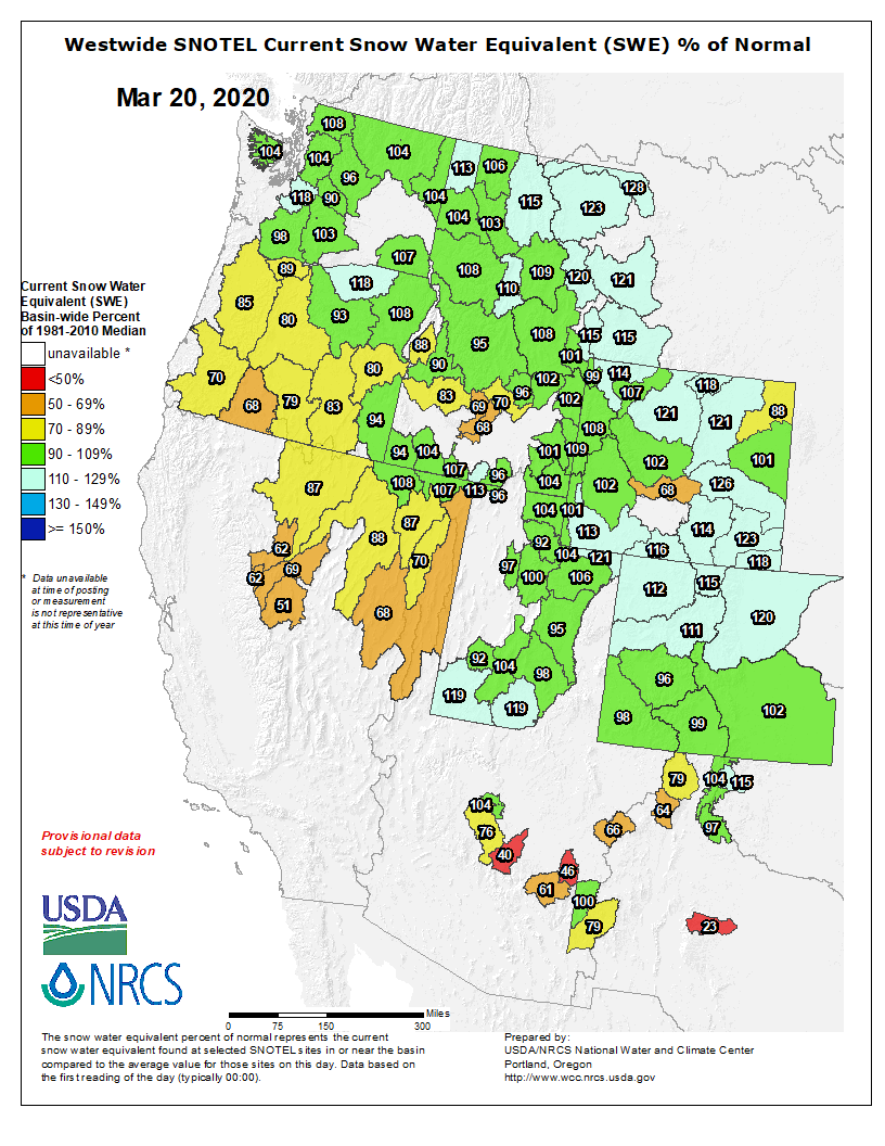
The US Department of Agriculture has been keeping track of the nation’s snowpacks for decades to know how much spring runoff can be expected for farming. This data is useful, but a physical observation station with instruments must be set up for every point of data. These stations are known as Snotel sites. Many backcountry recreators use this information to gauge conditions in areas where forecasts may be limited.
The Project
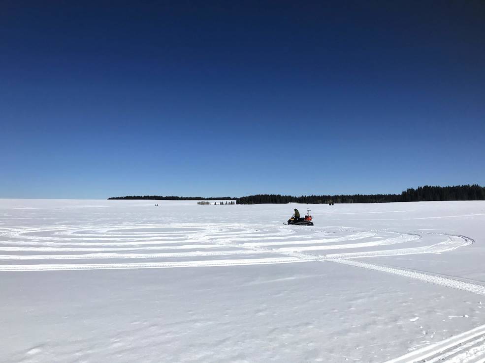
During NASA’s winter 2020 SnowEx campaign a team of 44 researchers collected data from Grand Mesa, Colorado. They used a combination of ground crews and airborne crews to collect data in many different ways. On the ground, teams dug snowpits, probed for depth, a used ground-penetrating radar (GPR). In the air, they used radar, lidar, and optical cameras to scan the snowpack.
- Related: NWS Addresses Concerns that Lesser Snowpack in the West Will Impact this Summer’s Wildfire Season
Measuring snow may sound easy, however, there are many complications. Spatial variability is the difference in snowpack quality from one location to another. The depth and density of snowpack can differ even when samples are taken just a few feet apart. This means that the researchers had to collect an enormous amount of data so they could accurately extrapolate their findings.
“This large dataset will be used to help design a future spaceborne approach to mapping SWE globally, using a combination of ground observations, models, and satellite measurements.”
– HP Marshall
What’s Next
Data collection wrapped up in March 2020. The next step for the NASA team is to sort through all the data they collected. The team hopes to start releasing their findings early next year which will be available for anyone to use. NASA’s long term goal is to add instruments to satellites so SWE can be measured from space.