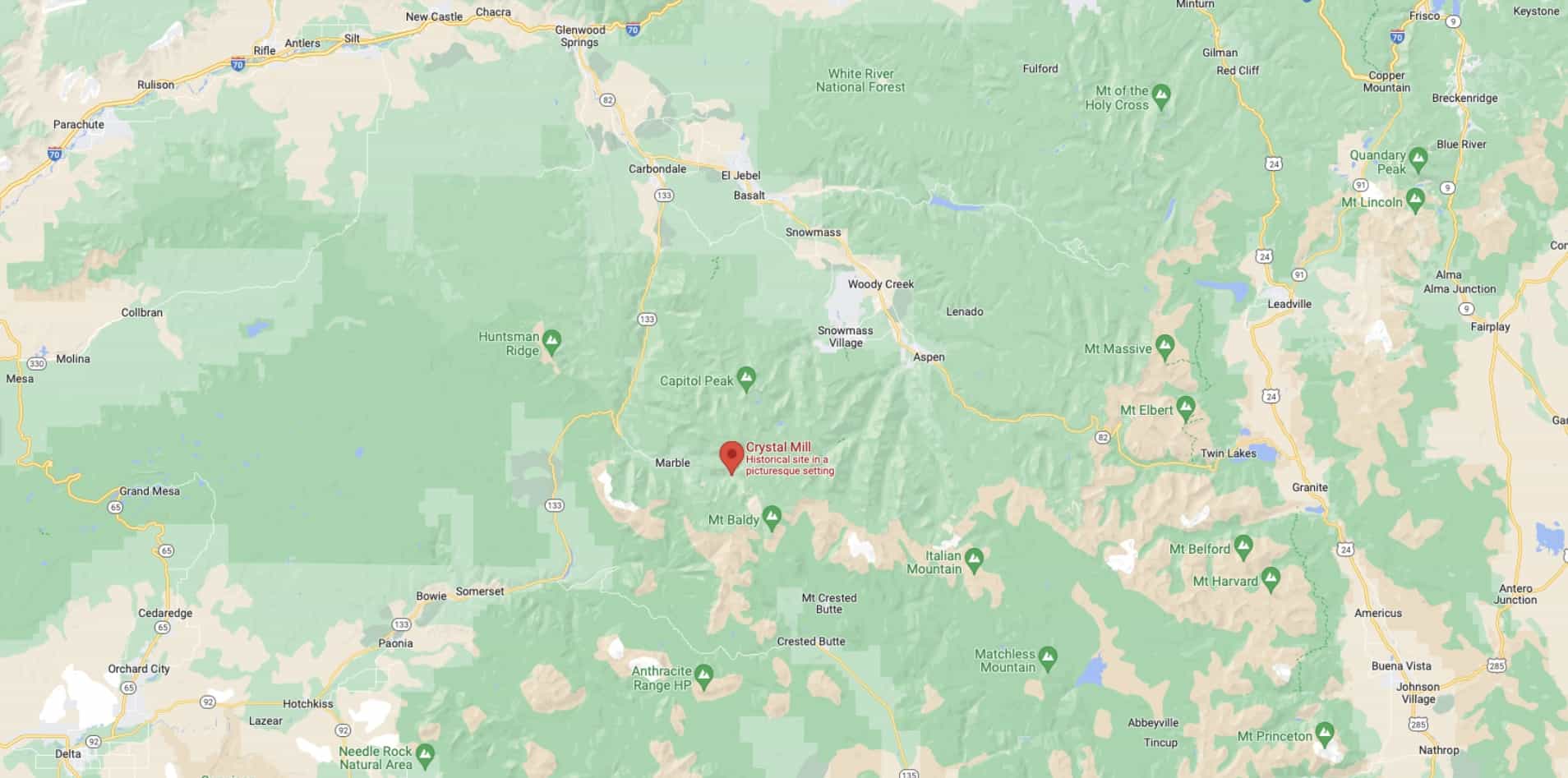
Following impacts from this week’s monsoon storms, the US Forest Service has temporarily closed the road to Crystal Townsite and Crystal Mill (Forest Service Road 314) between Aspen and Crested Butte, CO.
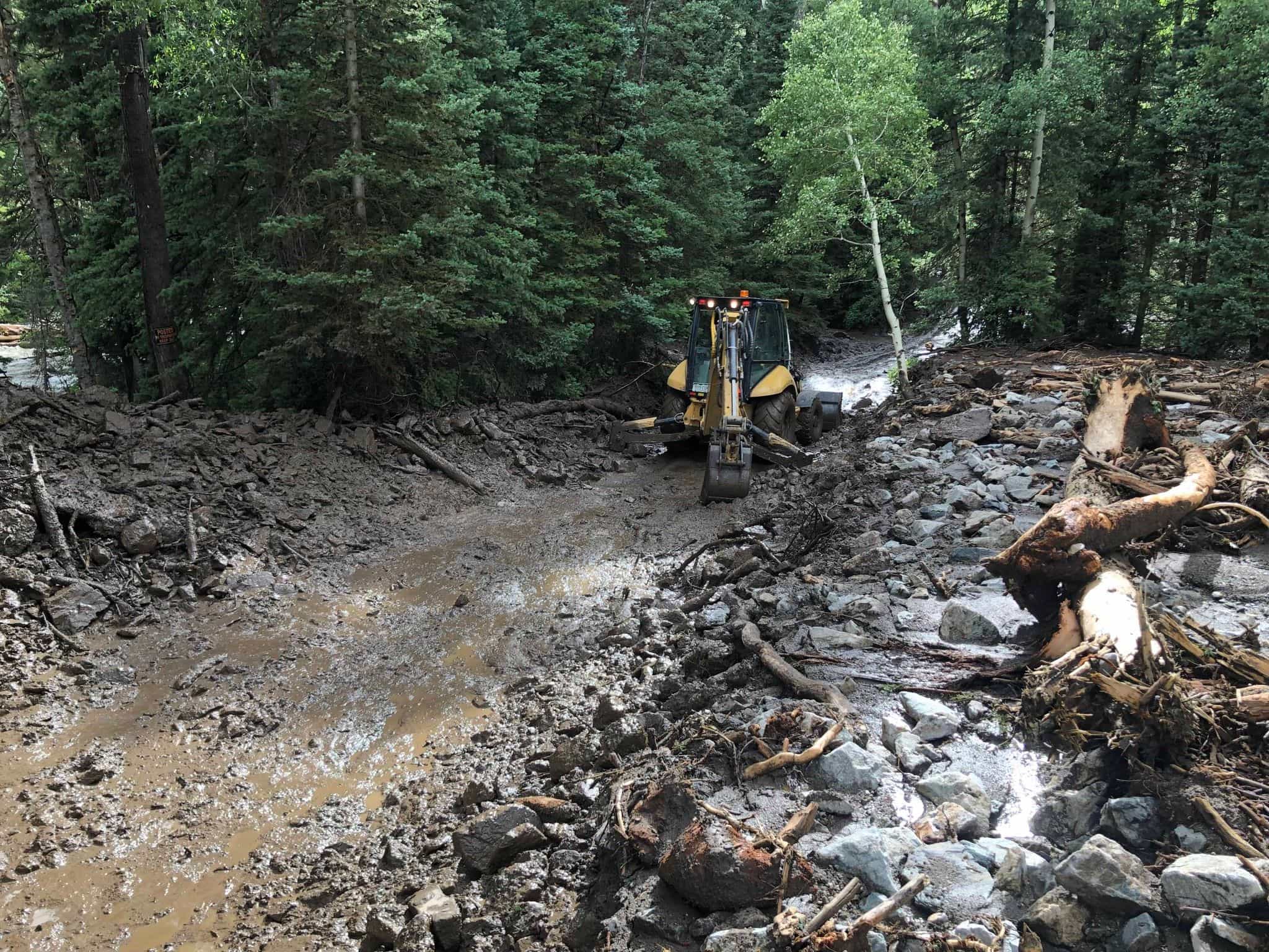
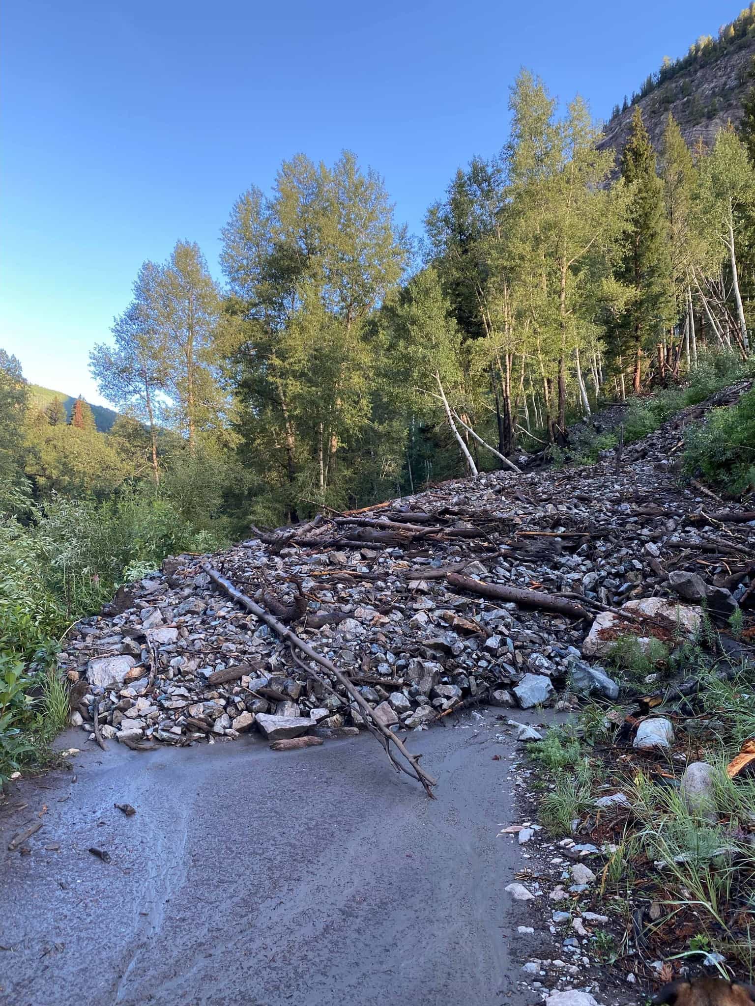
The closure affects the 1.5-mile stretch from Daniel’s Hill (intersection with FSR 315) to the Crystal Mill. The stretch of road suffered more than a dozen debris flows, some as deep as 15 feet.
They are hoping this will be a very short-term closure, but be sure to check their website or call before heading that way.
Quick work from the Gunnison County Public Works Department cleared most of the debris. The road is still extremely muddy and susceptible to significant damage from vehicles.
The USFS is asking for the public’s patience to prevent damage that could have long-term impacts on the popular road to Crystal Mill.

Forest Service Road 315, the northern part of the Lead King Loop is open and passable with high-clearance, four-wheel drive vehicles. The entire loop includes FSR 314 and is not currently open.
Avalanche Creek Road (FSR 310) also was impacted by flooding. It is currently passable with most vehicles, but drivers should use caution.
For the latest information about this closure, call the Aspen-Sopris Ranger District, at 970 963-2266, or visit www.fs.usda.gov/whiteriver.