NOAA has issued a Winter Storm Warning for the Ruby Mountains in Nevada today that is calling for 1-2 feet of snow.
* SNOW ACCUMULATIONS...3 TO 8 INCHES VALLEYS...1 TO 2 FEET
  MOUNTAINS. - NOAA Elko, NV today
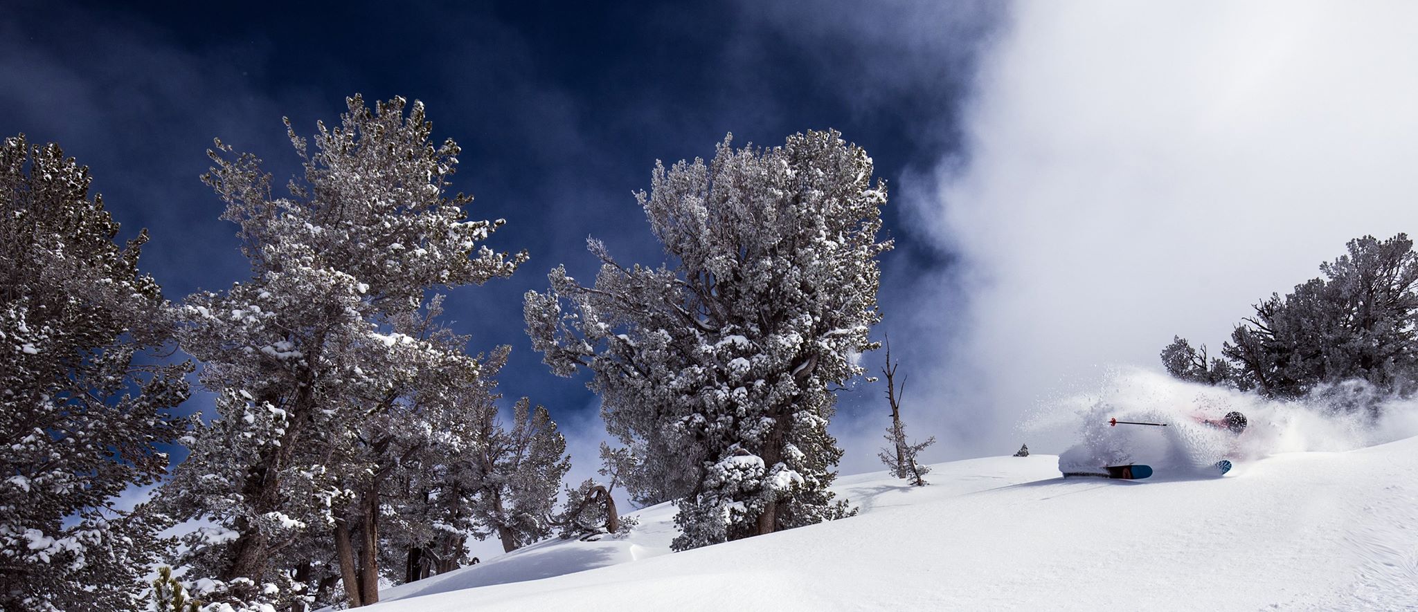
The Ruby Mountains may hold the driest snow in North America as well as some incredible terrain
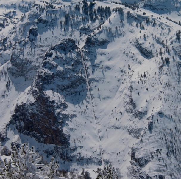
The Terminal Cancer couloir is a classic and the so are the Rubies. Legendary backcountry badass Andrew McClean loves this range and drives out here from Utah regularly.
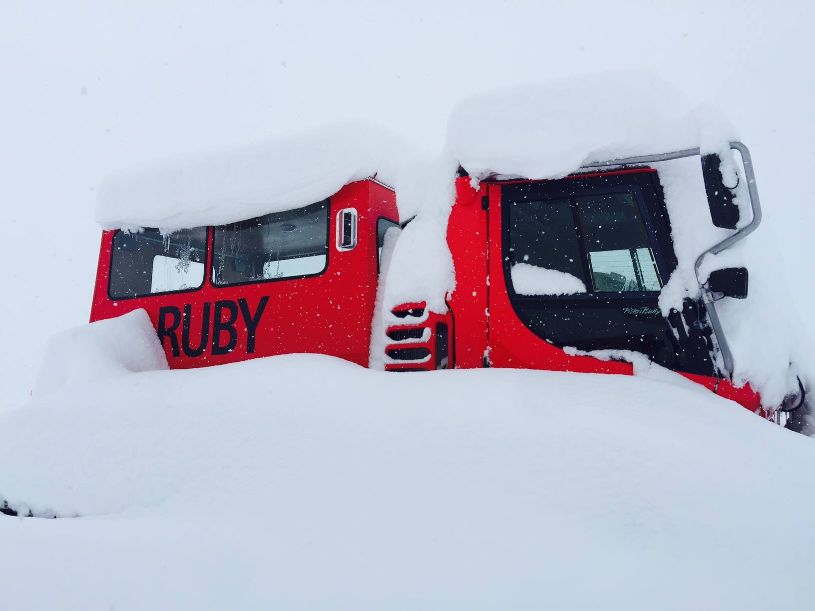
The Rubies got a huge dump of snow in the end of March this year that was “one of the biggest storms in recent memory.”
“The Lamoille Valley woke up to heavy snow and it is still snowing with more than 2 feet measured in the valley at 6,000 feet. One of the biggest storms in recent memory. Snotel snow measuring sites throughout the Ruby Range are showing totals from 30-40 inches of new snow.” – Ruby Mountain Heli on March 29th, 2016
This would be a good time to hop in the car and head for the Rubies…
WINTER STORM WARNING for RUBY MTS, NV:
URGENT - WINTER WEATHER MESSAGE
NATIONAL WEATHER SERVICE ELKO NV
226 PM PDT MON APR 25 2016

NORTHERN ELKO COUNTY-RUBY MOUNTAINS/EAST HUMBOLDT RANGE-
INCLUDING THE FOLLOWING LOCATIONS...JACKPOT...WILDHORSE...
OWYHEE...SECRET PASS...LAMOILLE CANYON...HARRISON PASS

...WINTER STORM WARNING NOW IN EFFECT UNTIL 5 AM PDT TUESDAY...

* SNOW ACCUMULATIONS...3 TO 8 INCHES VALLEYS...1 TO 2 FEET
  MOUNTAINS.

* WINDS...NORTH TO NORTHWEST 15 TO 25 MPH GUSTING TO 45 MPH
  MONDAY AFTERNOON AND EVENING.

* IMPACTS...SNOW...HEAVY AT TIMES...WILL LEAD TO SNOW COVERED
  ROADS. BLOWING OR DRIFTING OF SNOW IS LIKELY IN AREAS PRONE
  TO NORTHERLY WINDS. VISIBILITIES WILL BE REDUCED AT TIMES
  MAKING TRAVEL EVEN MORE CHALLENGING.