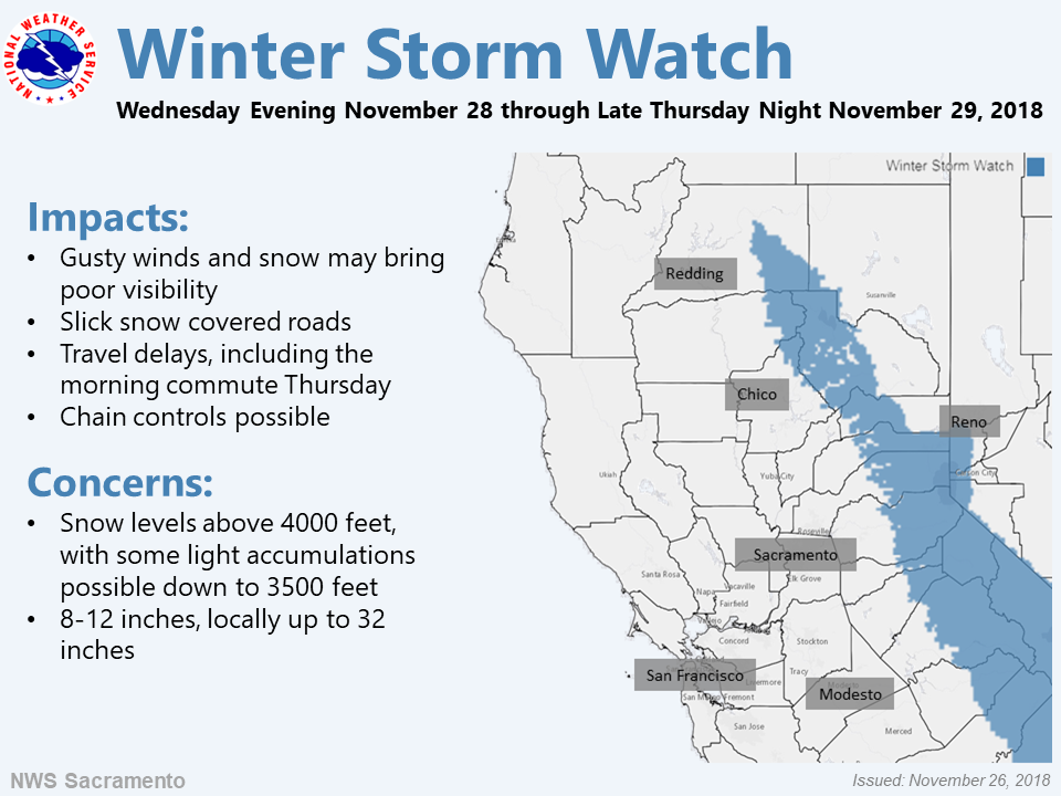
The National Weather Service has issued a Winter Storm Watch and a Winter Weather Advisory in California. They’re in effect from Wednesday Afternoon – Thursday. High winds and heavy snow are forecasted to impact the area throughout that time.
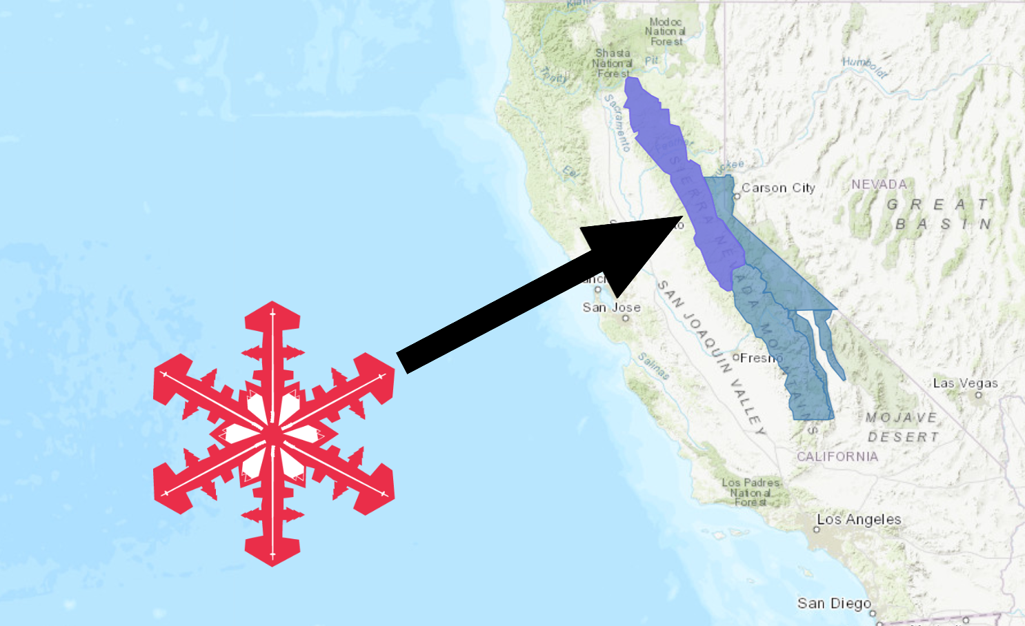
California:
- 1-3 FEET of Snow Above 7,000ft Wednesday – Thursday
“A Winter Storm Watch is in effect starting Wednesday night through Thursday night. Significant snowfall totals over 2 feet are possible for the duration of this storm. Travel could be very difficult to impossible. Those who are in the mountains should be prepared for long delays and possible road closures at or above 7000 ft elevation. If traveling consider alternate plans, remember to carry tire chains, extra food, water, and clothing. Campers and hikers should be prepared for hazardous winter-like conditions.”
– NOAA Hanford, CA Today


Snow levels are forecasted to hover between 5,000ft and 6,000ft throughout the storm, but the heaviest accumulations will occur above 7,000ft.
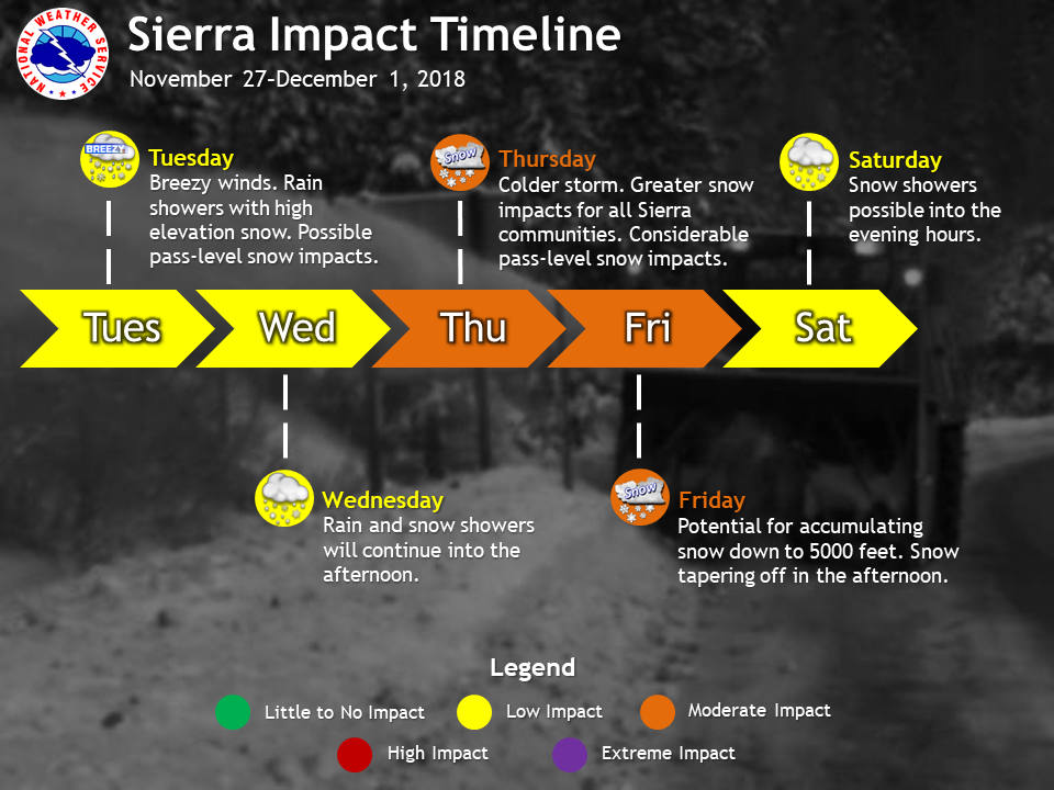
The 6-10 day outlook is calling for average precipitation and below average temperatures in California.
Additional Storm Info:
California: 1-3 FEET of Snow Above 7,000ft Wednesday – Thursday
* Heavy snow possible. Total snow accumulations 6 to 12 inches,
  except 1 to 3 feet above 7000 feet possible. Winds could gust
  as high as 65 mph over the higher terrain of the Sierra.
- NOAA Reno, NV

Winter Storm Watch:
URGENT - WINTER WEATHER MESSAGE
National Weather Service Reno NV
914 AM PST Mon Nov 26 2018

Greater Lake Tahoe Area-Mono County-
Including the cities of South Lake Tahoe, Truckee, Bridgeport,
Coleville, Mammoth Lakes, Stateline, and Incline Village

...WINTER STORM WATCH IN EFFECT FROM WEDNESDAY EVENING THROUGH
LATE THURSDAY NIGHT...

* WHAT...Heavy snow possible. Total snow accumulations 6 to 12
  inches, except 1 to 3 feet above 7000 feet possible. Winds could
  gust as high as 65 mph over the higher terrain of the Sierra.

* WHERE...Greater Lake Tahoe Area and Mono County.

* WHEN...From Wednesday evening through late Thursday night.

* ADDITIONAL DETAILS...Travel could be very difficult to
  impossible with long delays possible. Heavy wet snow could cause
  tree branches to break.

