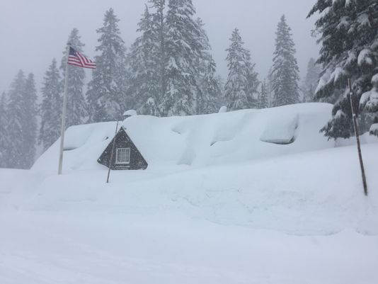
The National Weather Service has issued a Winter Storm Warning, Winter Storm Watch, and Winter Weather Advisory for Oregon. They are in effect t=Tonight through Friday Evening. Heavy snowfall is forecasted to impact the area, especially the mountains and possibly the lowlands.
6-18″ of Snow Tonight – Friday Night.
7 day snowfall totals. Image: Tropical Tidbits7 day precipitation totals. Image: NOAA
Snow levels are forecasted to fluctuate between 1,000ft and 1,500ft.
* Total snow accumulations of 6 to 12 inches,
  with localized amounts up to 18 inches, are
  possible.
- NOAA Medford, OR
Storm timing. Image: NOAA Medford, OR6-10 day temperature outlook. Image: NOAA6-10 day precipitation outlook. Image: NOAA
OR Winter Storm Watch:
URGENT - WINTER WEATHER MESSAGE
National Weather Service Medford OR
417 AM PDT Thu Mar 22 2018
...Heavy mountain snow and possible low land snow Tonight intoFriday night...
.A strong cold front will move through southern Oregon and
northern California today. As cold air pours in behind the front
tonight, snow levels will drop rapidly to around 1500 feet. Snow
levels will then fluctuate between 1500 and 2500 feet, highest
during Friday afternoon.
At the same time, a rich plume of Pacific moisture will take aim
at the area, and the result will be very heavy snow in the
mountains. Particularly hard hit will be the mountains of Curry,
Josephine, and western Siskiyou counties where several feet of
snow are possible. Heavy snow is also expected over the Cascades,
Mt. Shasta area, and portions of the east side, although
confidence in snow amounts is lower for these areas.
Snow may also impact lower elevations at times, especially at
night and especially the more snow-prone areas like the
I-5 Passes north of Grants Pass and the Illinois Valley.
South Central Oregon Cascades-
Including the cities of Crater Lake, Crescent Lake, Diamond Lake,
and Union Creek
...WINTER STORM WATCH REMAINS IN EFFECT FROM LATE TONIGHT THROUGHFRIDAY EVENING...
* WHAT...Heavy snow possible. Total snow accumulations of 6 to 12 inches, with localized amounts up to 18 inches, are
possible.
* WHERE...South Central Oregon Cascades including Crater Lake
and Diamond Lake.
* WHEN...From late tonight through Friday evening.* ADDITIONAL DETAILS...Travel could be very difficult to impossible, including during the evening commute on Friday.
Significant reductions in visibility are possible. In addition,
southwest winds of 20 to 30 mph will create areas of blowing snow, especially over peaks and exposed areas.