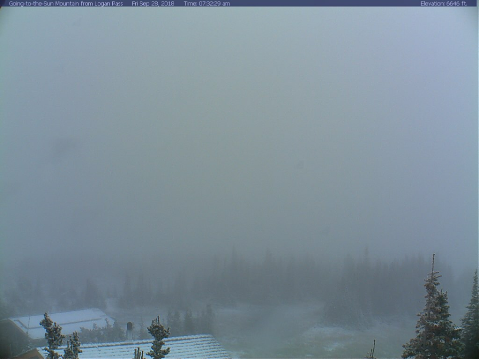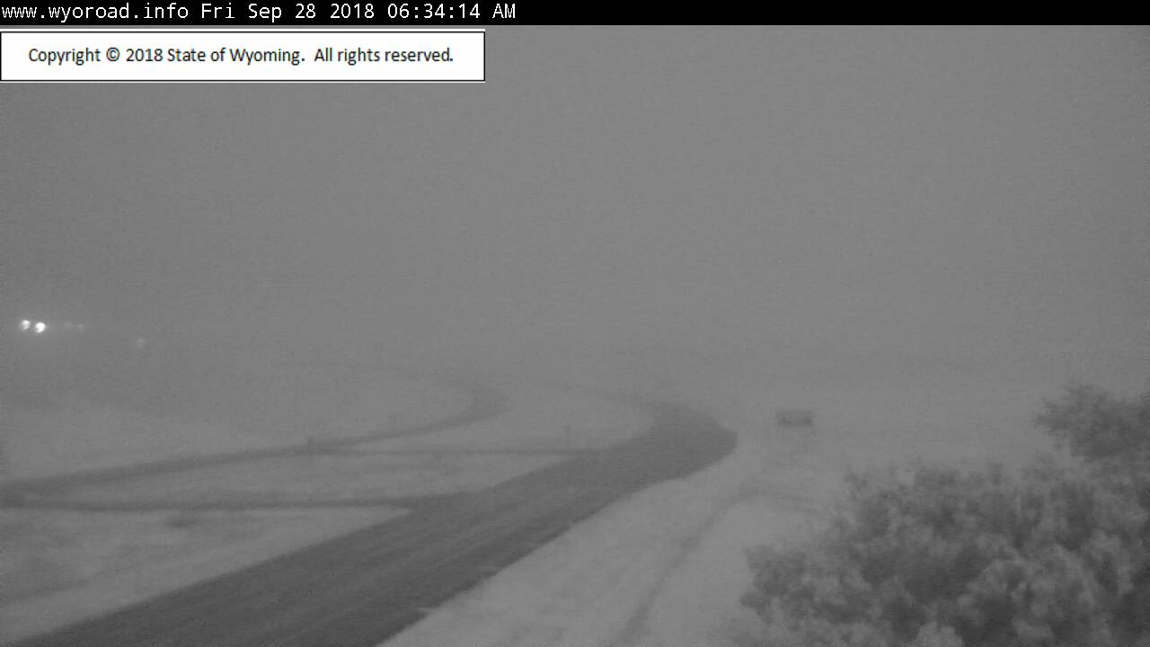
The Winter Weather Advisory that was issued for Montana is set to expire this morning, but that’s not the end of the snowfall. Another round is forecasted to impact the area Saturday – Sunday. The heaviest snowfall is expected to occur at elevations greater than 6,000ft.
"Another round of snow is expected to affect the Rocky Mountain Front
 and the Kings Hill area Saturday afternoon into Sunday. The heaviest
 snowfall is expected for elevations above 6000 feet. Some higher
 elevation roadways could be snow covered and slippery at times by Sunday."
-NOAA Great Falls, MT Today
The heaviest snow is forecasted to fall above 6,000ft, but snowfall is possible at elevations lower than that.
Additional Storm Info:
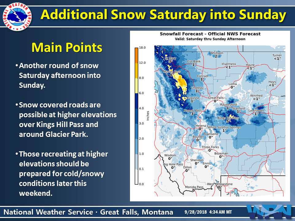
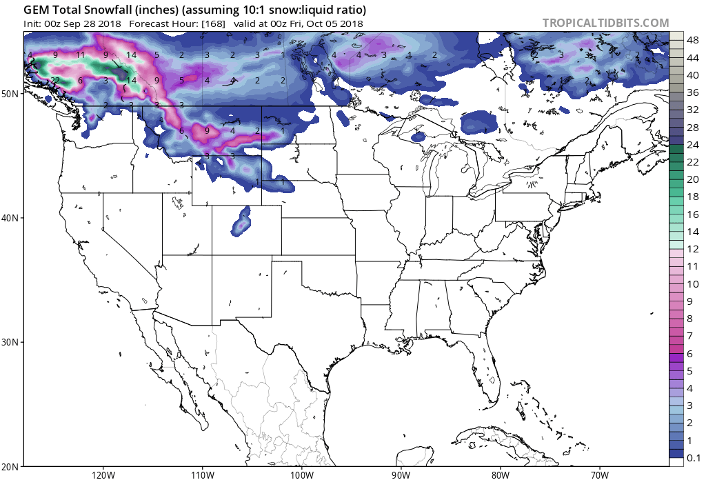
Montana: 4-8″ of Snow Above 6,000ft Saturday – Sunday
"Another round of snow is expected to affect the
 Rocky Mountain Front and the Kings Hill area
 Saturday afternoon into Sunday. The heaviest
 snowfall is expected for elevations above 6000 feet."
-NOAA Great Falls, MT

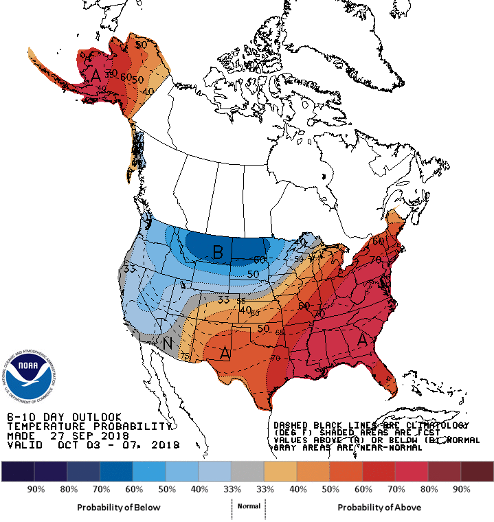

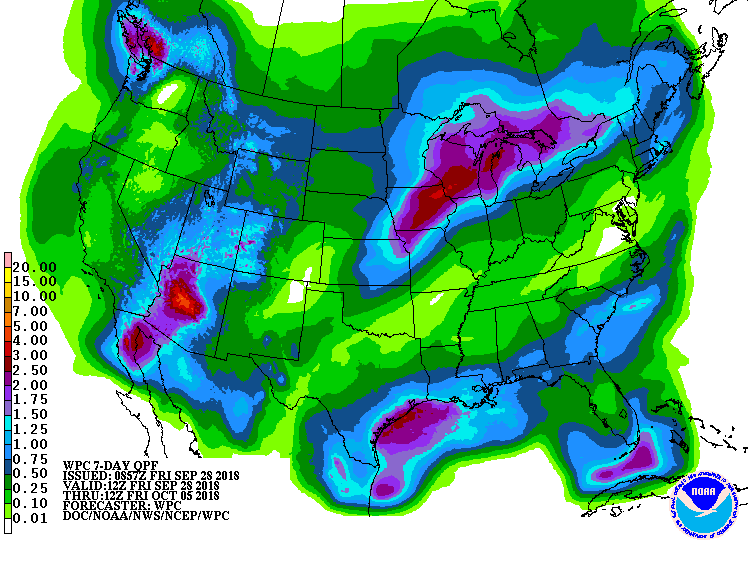
The 6-10 day outlook calls for below average temperatures and above average precipitation in Montana.