The National Weather Service has issued a Winter Weather Advisory for Colorado. It’s in effect Tonight – Friday. Heavy snowfall is forecasted to mix with high winds, which will make for blizzard-like conditions. There will be some powder turns to be had in the mountains.
5-10+” of Snow Tonight – Friday.
7 day snowfall totals. Image: Tropical Tidbits7 day precipitation totals. Image: NOAA
The heaviest snowfall accumulations are expected occur above 8,000ft, but snow will fall at lower elevations than that.
Additional Storm Info:
Spring time in Colorado. Image: NOAA Denver, COSnowfall totals. Image: NOAA Denver, CO
Colorado: 5-10+” of Snow Tonight – Friday
* Total snow accumulations of 5 to 10 inches,
with localized amounts upto 15 inches, are expected.
- NOAA Grand Junction, CO
Storm info. Image: NOAA Grand Junction, CO6-10 day temperature outlook. Image: NOAA6-10 day precipitation outlook. Image: NOAA
CO Winter Weather Advisory:
URGENT - WINTER WEATHER MESSAGE
National Weather Service Grand Junction CO
438 AM MDT Thu Apr 12 2018
Elkhead and Park Mountains-
Gore and Elk Mountains/Central Mountain Valleys-Flat Tops-
Including the cities of Columbine, Hahns Peak, Toponas, Aspen,
Vail, Snowmass, Buford, and Trappers Lake
...WINTER WEATHER ADVISORY REMAINS IN EFFECT FROM 6 PM THISEVENING TO 9 PM MDT FRIDAY...
* WHAT...Snow expected. Total snow accumulations of 5 to 10 inches, with localized amounts up to 15 inches, are expected.
Look for lesser amounts expected below 8000 feet.
* WHERE...Elkhead and Park Mountains, Gore and Elk
Mountains/Central Mountain Valleys and Flat Tops.
* WHEN...From 6 PM Thursday to 9 PM MDT Friday.* ADDITIONAL DETAILS...Plan on slippery road conditions,
especially over mountain passes. Winds gusting as high as 50 MPH
will result in blowing and drifting snow which will
significantly reduce visibilityat times.
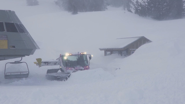
Blizzard at Mammoth Mountain, CA. Image: Mammoth Mountain