The National Weather Service has issued a Winter Storm Warning and Winter Weather Advisory for California. They are in effect from 11:00pm this evening through 6:00am Sunday Morning. Significant low elevation snowfall is forecasted to impact the area.
5-18″ Of Snow Above 4,000ft Tonight – Sunday Morning.
7 day snowfall totals. Image: Tropical Tidbits7 day precipitation totals. Image: NOAA
Snow levels lowering to 1,500ft – 2,500ft across the northern mountains and coastal range and 3,000ft – 4,000ft in the Sierra by Saturday.
Additional Storm Info:
Mountain snow on tap this weekend. Image: NOAA Sacramento, CAWinter Storm Warning. Image: NOAA Sacramento, CA
California: 5-18″ Of Snow Above 4,000ft Tonight – Sunday Morning
* Total snow accumulations 5 to 10 inches,
  with localized amounts up to 18 inches
  near the crest.
- NOAA Reno, NV
6-10 day temperature outlook. Image: NOAA6-10 day precipitation outlook. Image: NOAA
CA Winter Weather Advisory:
URGENT - WINTER WEATHER MESSAGE
National Weather Service Reno NV
345 AM PDT Fri Mar 23 2018
Greater Lake Tahoe Area-
Including the cities of South Lake Tahoe, Truckee, Stateline,
and Incline Village
...WINTER WEATHER ADVISORY REMAINS IN EFFECT FROM 11 PM THISEVENING TO 5 AM PDT SUNDAY...
* WHAT...Periods of snow expected. Total snow accumulations 5 to 10 inches, with localized amounts up to 18 inches near the crest.
* WHERE...Greater Lake Tahoe Area.* WHEN...From 11 PM this evening to 5 AM PDT Sunday.* ADDITIONAL DETAILS...Plan on slippery road conditions,
especially between 6 PM and 9 AM. Be prepared for reduced visibilities at times.
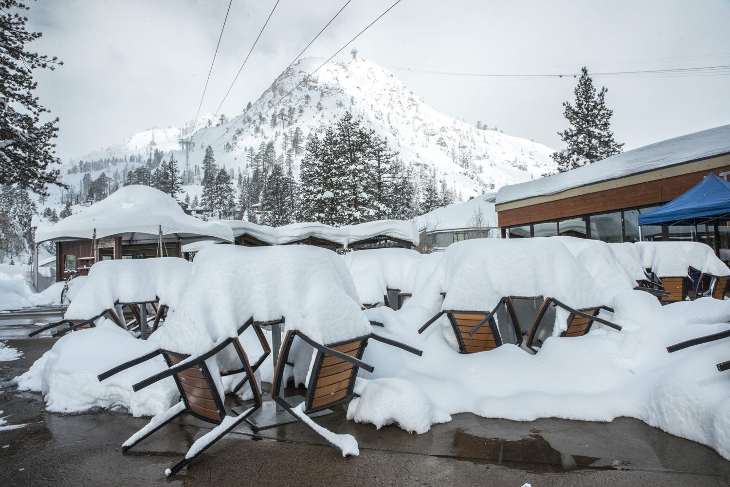
Squaw Valley, CA on 3/17/19. Image: Squaw Facebook Page


One thought on “NOAA: Significant Low Elevation Snowfall On Tap For California | 5-18″ Of Snow Above 4,000ft Tonight – Sunday Morning”