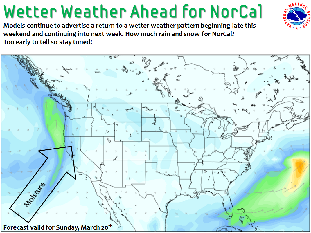
California is going through another big hot weather cycle this week. NOAA thinks that’s all going to change this weekend.
The long term forecast is calling for:
- Moderate snow Sunday – Tuesday
- Snow levels starting at 7,000-feet on Sunday before dropping to 5,000-feet on Monday
- Cooler than average temperatures Monday – Wednesday
NOAA Tahoe:
.LONG TERM...Sunday through Wednesday...

Although the spring equinox occurs later this weekend, weather in
the Sierra and western NV will take a step back toward winter
Sunday through Tuesday.

There is a reasonable consensus for relatively high snow levels
Sunday through Monday, starting above 7000 feet then only dropping
to 5500-6000 feet by Monday afternoon. Then a stronger push of
colder air arrives Monday night, with snow levels possibly
dropping below 5000 feet by Tuesday morning as precip tapers to
showers. Moderate amounts of valley rain and high elevation snow
are possible near the Sierra crest from Tahoe northward across
Lassen County, with lesser amounts in Mono County.
Lingering showers should wind down by Tuesday evening with drier
conditions returning by next Wednesday.

Below normal temperatures are expected Monday through Wednesday,
with Tuesday likely to be the coolest (highs mainly in upper 40s-
mid 50s for lower elevations) as upper trough moves across the
Great Basin. - NOAA Reno, NV today