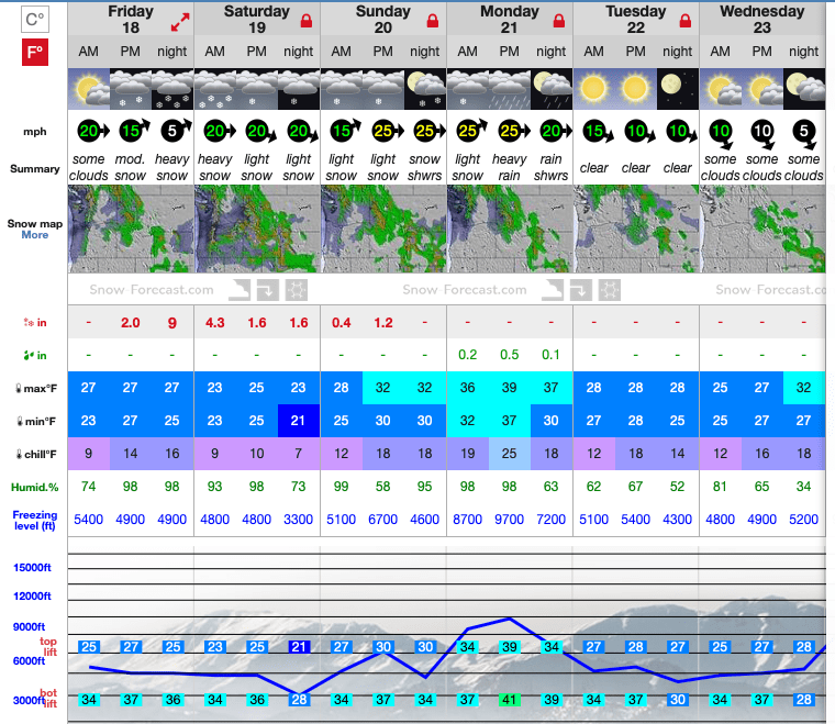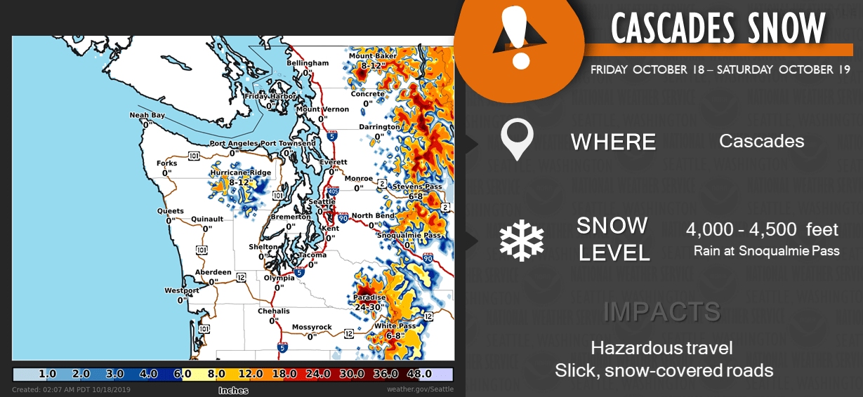
The NOAA has issued a winter storm warning starting midday today, through Saturday evening for the Cascades, specifically Crystal Mountain and Mt. Rainier.
...WINTER STORM WARNING IN EFFECT FROM NOON TODAY TO 6 PM PDT
SATURDAY ABOVE 5000 FEET...

* WHAT...Heavy snow expected above 5000 feet. Total snow
  accumulations 12 to 24 inches by late Saturday afternoon.

* WHERE...Cascade mountains of Pierce and Lewis Counties,
  including the Crystal Mountain Ski Area and Paradise on Mount
  Rainier.

* WHEN...From noon today to 6 PM PDT Saturday.
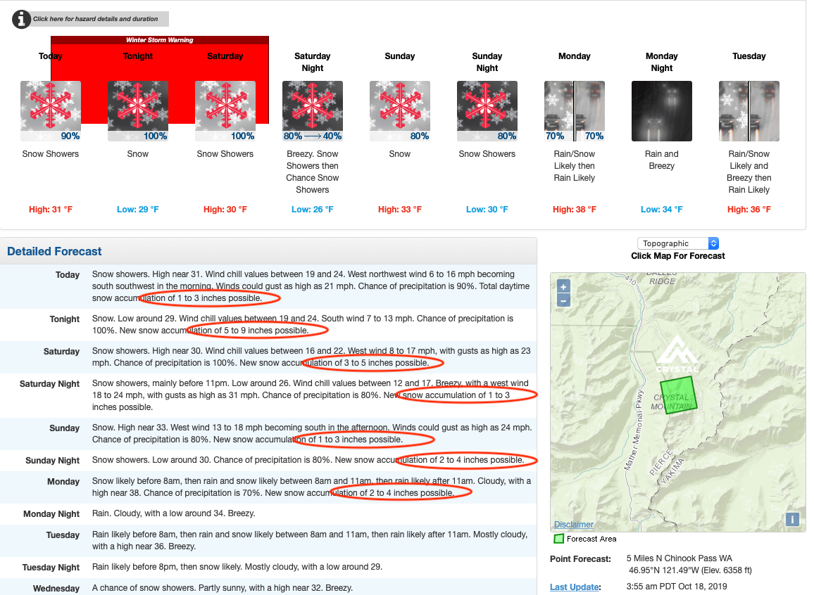
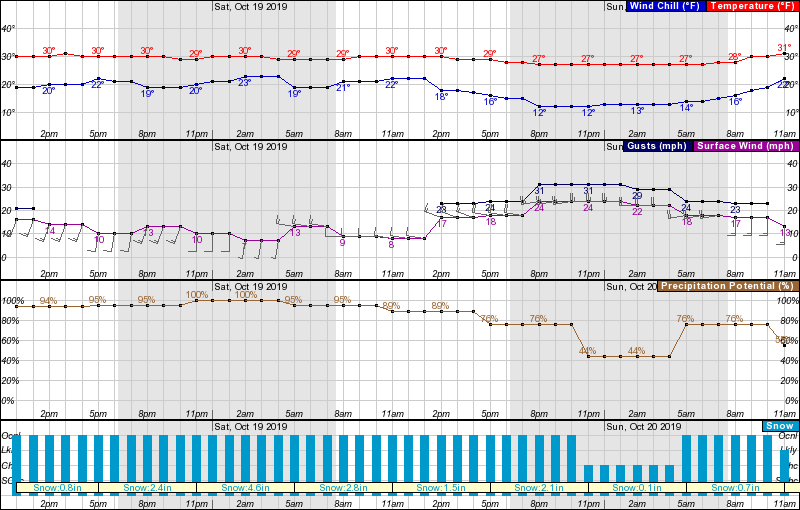
Heavy snow is expected above 5,000-feet, with potential accumulations of 24-inches by Saturday night.
Winter storm watch
for the North Cascades has been replaced with a winter weather
advisory for the Northern and Central Cascades with 4 to 8 inches
of snow expected above 4000 feet. Winter storm warning for the
South Cascades will continue through the afternoon. New snow
accumulations from Friday afternoon through Saturday afternoon
expected to be in the one to two foot range above 5000 feet with
six inches or possible above 4500 feet.
Temperatures won’t drop much below freezing during the storm, the high 20s. The wind will pick up Saturday evening, with gusts up to 31-mph.
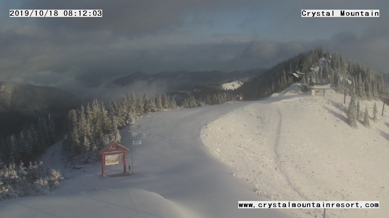
Having already been on the end of a couple of early-season storms, add this one to the mix, and opening day in mid-November could be something special.
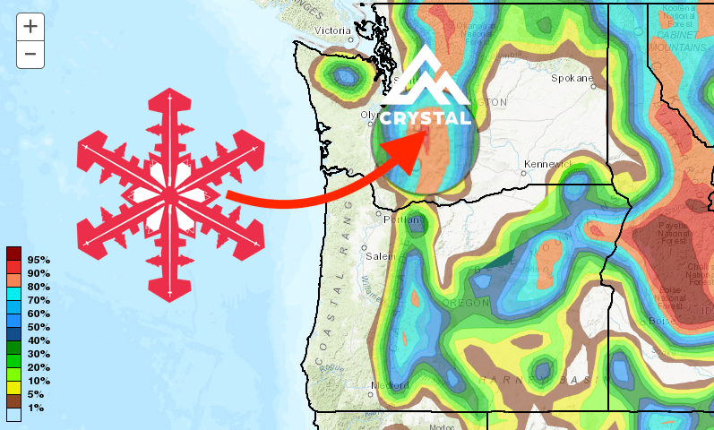
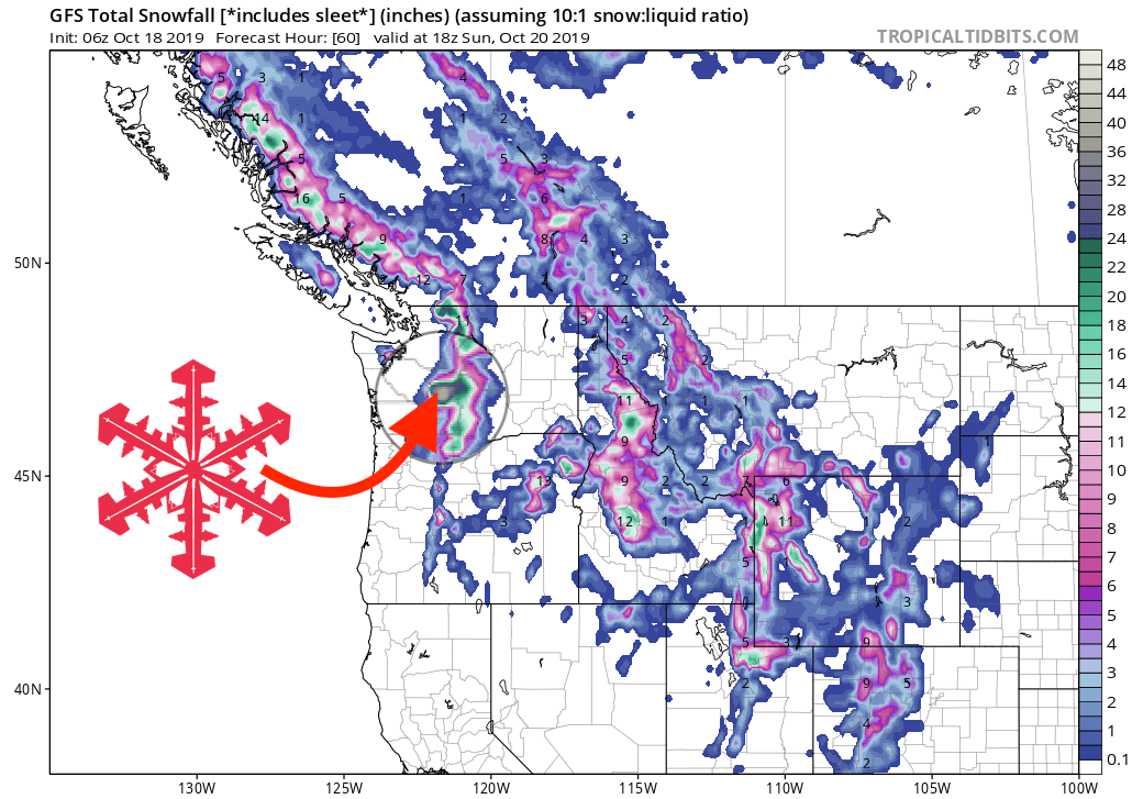
GFS 60-hour snowfall forecast model
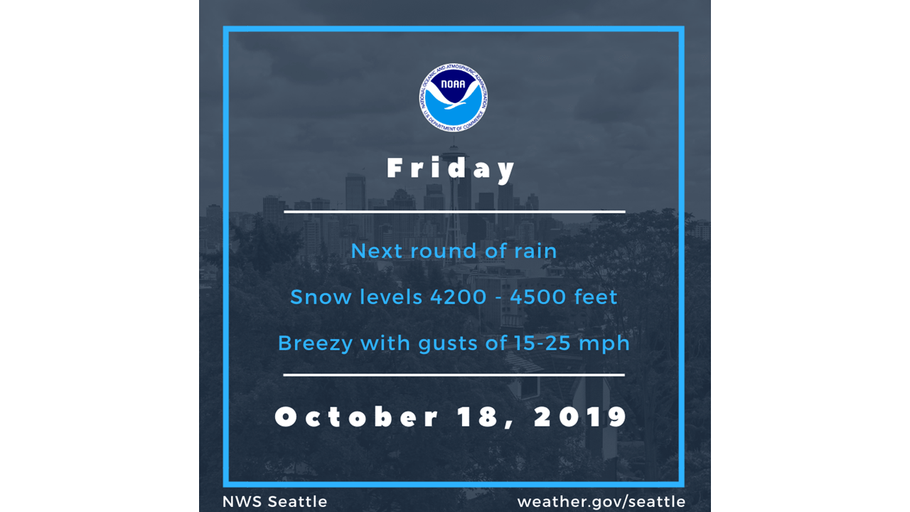
Other info
