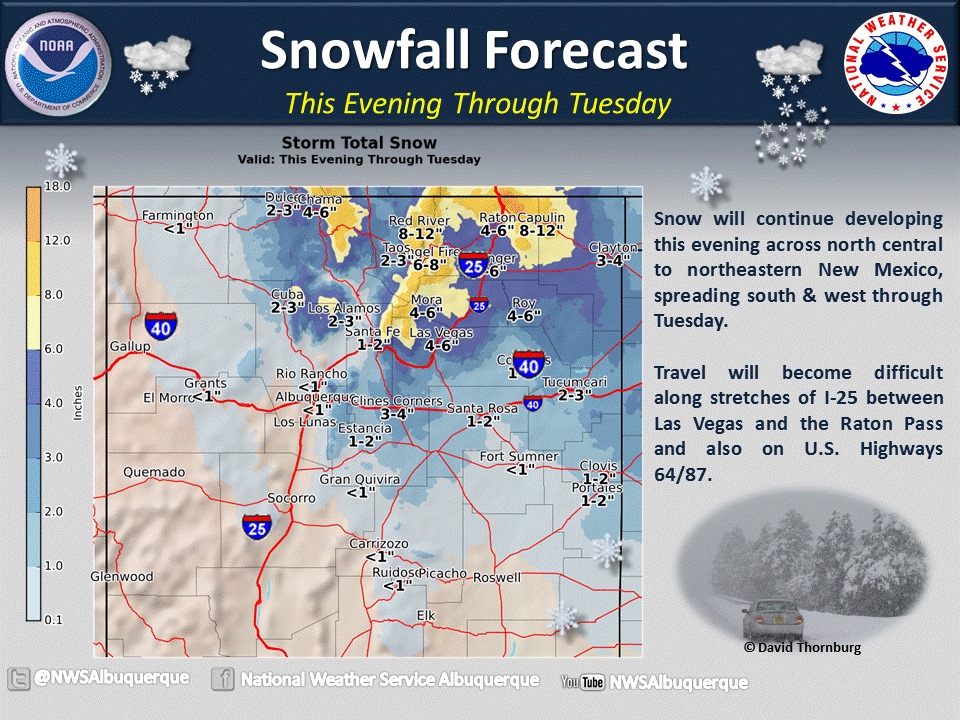
NOAA has issued a Winter Storm Warning for Taos, New Mexico today that is calling for 8-12″ of snowfall today.
* SNOW ACCUMULATIONS...TOTAL SNOW ACCUMULATIONS 8 TO 12 INCHES
  ACROSS THE HIGHER TERRAIN AND 4 TO 8 INCHES AT LOWER ELEVATIONS. - NOAA, NM today
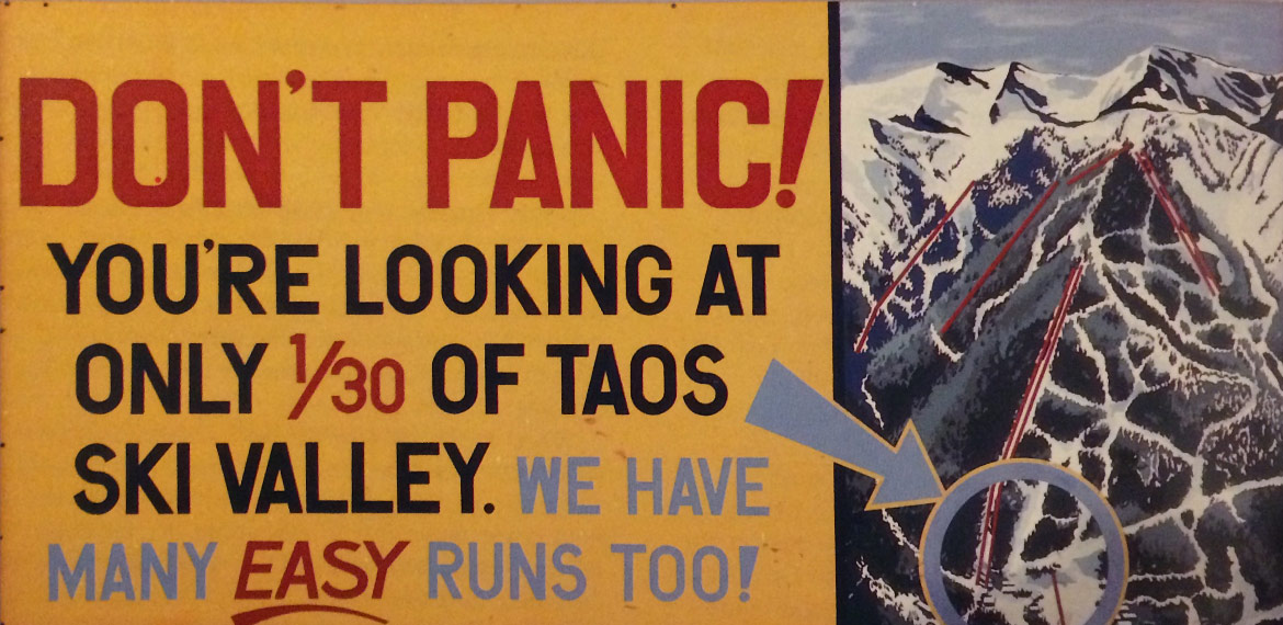
We all had big hopes for Taos this year with one of the strongest El Nino’s in history leading forecasters to call for above average precipitation and below average temperatures in Taos this year.
So far, that hasn’t been the case as Taos has only seen 160″ of snowfall this season to date and a snowpack of 88″.
Taos saw 3″ of snow in the past 24 hours and we’re hoping they get a lot more in the next 24 hours.
WINTER STORM WARNING for TAOS:
RGENT - WINTER WEATHER MESSAGE
NATIONAL WEATHER SERVICE ALBUQUERQUE NM
917 AM MST TUE FEB 23 2016

NORTHERN SANGRE DE CRISTOS ABOVE 9500 FEET/RED RIVER-
EAST SLOPES SANGRE DE CRISTO MOUNTAINS-RATON RIDGE/JOHNSON MESA-
FAR NORTHEAST HIGHLANDS-UNION COUNTY-

...WINTER STORM WARNING REMAINS IN EFFECT UNTIL 4 PM MST THIS
AFTERNOON...

* SNOW ACCUMULATIONS...TOTAL SNOW ACCUMULATIONS 8 TO 12 INCHES
  ACROSS THE HIGHER TERRAIN AND 4 TO 8 INCHES AT LOWER ELEVATIONS.

* TIMING...WIDESPREAD SNOW WILL CONTINUE FOR THE REMAINDER OF THIS
  MORNING...TAPERING OFF DURING THE AFTERNOON. STRONG WINDS WILL
  CAUSE TRAVEL IMPACTS TO PERSIST THROUGH THIS AFTERNOON...
  ESPECIALLY ALONG AND EAST OF INTERSTATE 25.

* WINDS...NORTH AND NORTHEAST AT 10 TO 15 MPH...EXCEPT FROM THE
  INTERSTATE 25 CORRIDOR EASTWARD WHERE NORTH WINDS WILL REACH
  25 TO 35 MPH WITH GUSTS TO 50 MPH.

* SNOW LEVELS...COLD ENOUGH FOR SNOW AT ALL ELEVATIONS.

* LOCAL IMPACTS...PERIODS OF WHITEOUT CONDITIONS AND SIGNIFICANT
  DRIFTING OF SNOW WILL MAKE TRAVEL DIFFICULT OR IMPOSSIBLE...
  EVEN AFTER SNOWFALL DECREASES IN INTENSITY THIS AFTERNOON. ROADS
  WILL BE SNOW PACKED AND ICY WITH ROAD CLOSURES POSSIBLE. WIND
  CHILL READINGS IN THE SINGLE DIGITS AND TEENS THIS MORNING WILL
  RISE TO THE TEENS AND LOW 20S IN THE AFTERNOON.