
NOAA has upped the snowfall total for the storm coming to California Thursday and Friday and issued a Winter Weather Advisory at 3:05pm PST today that is calling for 3-6″ of snow.
Total snow accumulations up to 3 to 6 inches are expected above 6500 feet.
- NOAA Reno, NV today
They’re now saying up to 6″ of snow may fall in the higher elevations near in Tahoe and that there may be a 1-3 hour period of 1+ inch/hour snowfall rates.
...a 1-3 hour period of snow is a reasonable expectation with potential snowfall
rates 1+ inch/hour. - NOAA Reno, NV today
... while a few sites above 7500 feet around Tahoe could receive up to 6 inches.
- NOAA Reno, NV today
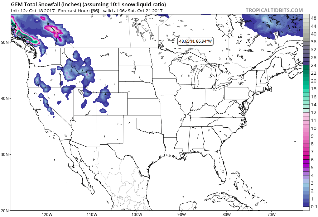
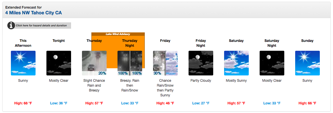
Snow levels will start at 9,000′ on Thursday before dropping as low as 5,000′ overnight on Thursday.
Snow levels will begin quite high (above 9000 feet) at onset, then drop rapidly
overnight to 5000-5500 feet for northeast CA and near 6000 feet around the Tahoe
basin. - NOAA Reno, NV today
Winds up to 100mph are forecast on ridges in the Sierra Nevada on Thursday/Friday.
Winds...All wind-related headlines will remain intact with peak
gust potential still up to 50 mph (65 mph in wind prone areas) in
the advisory areas, with Sierra ridge gusts near 100 mph.
- NOAA Reno, NV today
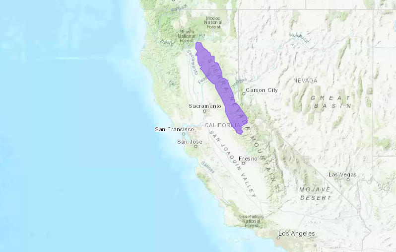
Winter Weather Advisory for California:
URGENT - WINTER WEATHER MESSAGE
National Weather Service Sacramento CA
305 PM PDT Wed Oct 18 2017

...Early Season Snow and Gusty Winds...

.A cool weather system will bring early season snow to the
Northern Sierra late Thursday night through Friday morning. Snow
levels are expected to begin high Thursday then drop rapidly to
around 5500 feet Friday morning. There could be 3 to 6 inches of
snow along Interstate 80 above 6500 feet...impacting areas near
Donner pass. Motorists traveling over mountain passes should be
prepared for slick roads. Winds gusting to 65 mph over mountain
ridges could cause problems for high profile vehicles and when
combined with snow could bring poor visibility.

CAZ068-069-191200-
/O.NEW.KSTO.WW.Y.0018.171020T0600Z-171020T1800Z/
Western Plumas County/Lassen Park-
West Slope Northern Sierra Nevada-
305 PM PDT Wed Oct 18 2017

...WINTER WEATHER ADVISORY IN EFFECT FROM 11 PM THURSDAY TO 11 AM
PDT FRIDAY ABOVE 6500 FEET...

* WHAT...Snow expected. Plan on slippery road conditions. Strong,
  gusty winds may impact driving and visibility. Total snow
  accumulations up to 3 to 6 inches are expected above 6500 feet.

* WHERE...Western Plumas County/Lassen Park and West Slope
  Northern Sierra Nevada County.

* WHEN...11 PM Thursday to 11 AM Friday.

* ADDITIONAL DETAILS...Be prepared for reduced visibilities at
  times.
NOAA Forecast Discussion Excerpt:
Snow Levels/amounts...Snow levels will begin quite high (above
9000 feet) at onset, then drop rapidly overnight to 5000-5500
feet for northeast CA and near 6000 feet around the Tahoe basin.
There is some uncertainty as to how much of the heavier precip
rates will occur in the cold sector, but a 1-3 hour period of
snow is a reasonable expectation with potential snowfall rates 1+
inch/hour. This could yield a couple of inches of snowfall west
of Susanville in northeast CA (near and above 5500 feet) and also
for Mono County near the crest including the higher passes (Sonora
and Tioga), while a few sites above 7500 feet around Tahoe could
receive up to 6 inches. Currently we are not planning any winter
weather headlines but there could be some slick or slushy roads
across most Sierra passes above 7000-7500 feet, and also on the
higher elevation routes west of Susanville such as Highways 36 and
44. - NOAA Reno, NV today