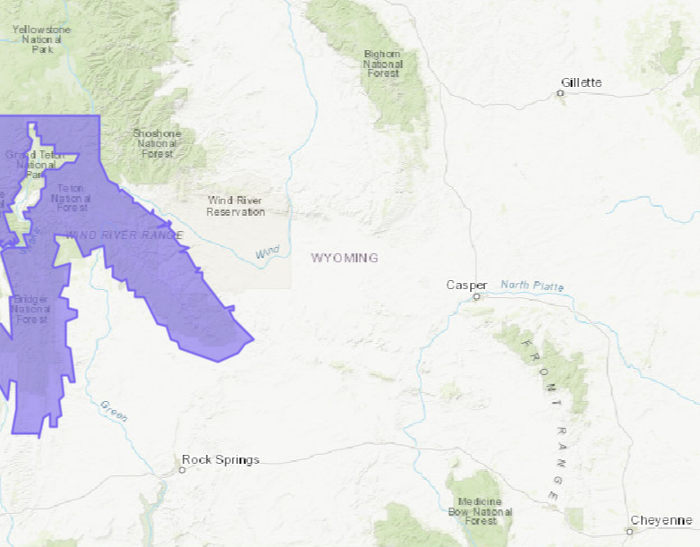
The National Weather Service has issued a Winter Weather Advisory for Grand Targhee Resort, WY. It’s in effect until early Friday Morning. Significant snowfall accumulations are expected above 8,000ft. The heaviest period of snowfall is expected to occur tonight, so you’ll want to head there to take some turns tomorrow.
5-10+” of Snow Today – Friday Morning.


The best chance for accumulation snowfall is forecasted to occur above 8,000ft, but snow and mixed precipitation is possible below that.
Additional Storm Info:

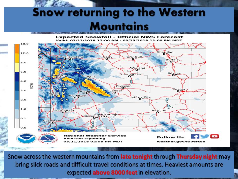
Grand Targhee, WY: 5-10+” of Snow Today – Friday Morning
* Total snow accumulations above 8000 feet
  of 5 to 10 inches, with localized  amounts
  up to 14 inches, are expected.
- NOAA Riverton, WY


WY Winter Weather Advisory:
URGENT - WINTER WEATHER MESSAGE
National Weather Service Riverton WY
228 AM MDT Thu Mar 22 2018

...Heavy Wet Snow Expected Across Western Wyoming Today Through
Tonight...

.A vigorous spring-time storm system is approaching western and
southwestern Wyoming. Expect a period of rain, wet snow or rain
mixed with snow to continue through tonight. Best accumulating
snow is expected above 8000 feet with up to a foot or more
possible over favored areas above 9500 feet.

Teton and Gros Ventre Mountains-

...WINTER WEATHER ADVISORY REMAINS IN EFFECT UNTIL 6 AM MDT
FRIDAY...

* WHAT...Wet snow expected, with best accumulations above 8000
  feet. Snow, rain, or snow mixed with rain is expected below this
  level. Heaviest snowfall expected tonight. Total snow
  accumulations above 8000 feet of 5 to 10 inches, with localized
  amounts up to 14 inches, are expected.

* WHERE...Teton and Gros Ventre Mountains.

* WHEN...From 3 AM this morning to 6 AM MDT Friday.

* ADDITIONAL DETAILS...Plan on slippery, slushy, or snow-packed
  road conditions mainly above 8000 feet, including the morning
  and afternoon commutes. Be prepared for reduced visibilities
  at times.