The National Weather Service has issued a Winter Weather Advisory for Washington. It is in effect until 7:00am Thursday morning. Mixed precipitation is forecasted to fall at the beginning of the storm, but it is expected to turn to heavy snow later this afternoon through the early morning hours.
Up to 17″ of Snow Today – Thursday Morning In Washington.
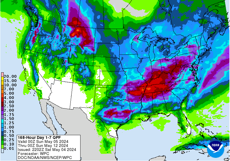
7 day snowfall totals. Image: Tropical Tidbits7 day precipitation totals. Image: NOAA
Snow is forecasted to fall above Pass Level, along with upper east slopes of the cascades in Washington.
Additional Storm Info:
Slick roads this morning. Image: NOAA Spokane, WAExtended forecast for Stevens Pass, WA. Image: NOAA
Washington: Up To 17″ of Snow Today – Thursday Morning
* Total snow accumulations of 3 to 6 inches,
  with mountain accumulations up to 17 inches,
  and ice accumulations of a light glaze are
  expected.
- NOAA Spokane, WA
6-10 day temperature outlook. Image: NOAA6-10 day precipitation outlook. Image: NOAA
Washington Winter Weather Advisory:
Winter Weather Advisory
URGENT - WINTER WEATHER MESSAGE
National Weather Service Spokane WA
257 AM PST Wed Jan 17 2018
...Wintery mix this morning followed by more snow late afternoon
in the Cascades...
.The latest winter storm will bring a wintery mix Wednesday
morning of snow, rain and possible light freezing rain. There will
be a break from heavier precipitation until late afternoon when a
cold front brings heavier mountain snow to the passesand upper east
slopes of the Cascades.
East Slopes Northern Cascades-
Including the following locations Leavenworth, Mazama, Twisp,
Winthrop, Stehekin, Conconully, Blewett Pass, and Loup Loup Pass
257 AM PST Wed Jan 17 2018
...WINTER WEATHER ADVISORY IN EFFECT UNTIL 7 AM PST THURSDAY...
* WHAT...Mixed precipitation expected. Plan on slippery road
conditions, including during the evening commute. Total snow
accumulations of 3 to 6 inches, with mountain accumulations up
to 17 inches, and ice accumulations of a light glazeare
expected.
* WHERE...Leavenworth, Mazama, Twisp, Winthrop, Stehekin,
Conconully, Blewett Pass, and Loup Loup Pass.
* WHEN...4 AM today lighter amounts. heavier amounts late
afternoon to 7 AM Thursday.
* ADDITIONAL DETAILS...Be prepared for reduced visibilitiesat
times and slick driving conditions.
Stevens Pass, WA in November. Image: Stevens Pass Facebook Page