NOAA has issued a Winter Weather Advisory for Wyoming’s Teton Mountain Range today! It’s June 13th!
4-12″ of snow is forecast in the Tetons and 4-8″ is forecast in the Gros Ventre range.
* TOTAL SNOWFALL...4 to 10 inches in the Tetons along with
  isolated amounts of 12 inches. 4 to 8 inches on the Gros
  Ventre Range. - NOAA Riverton, WY today
This has been the winter that just won’t stop!
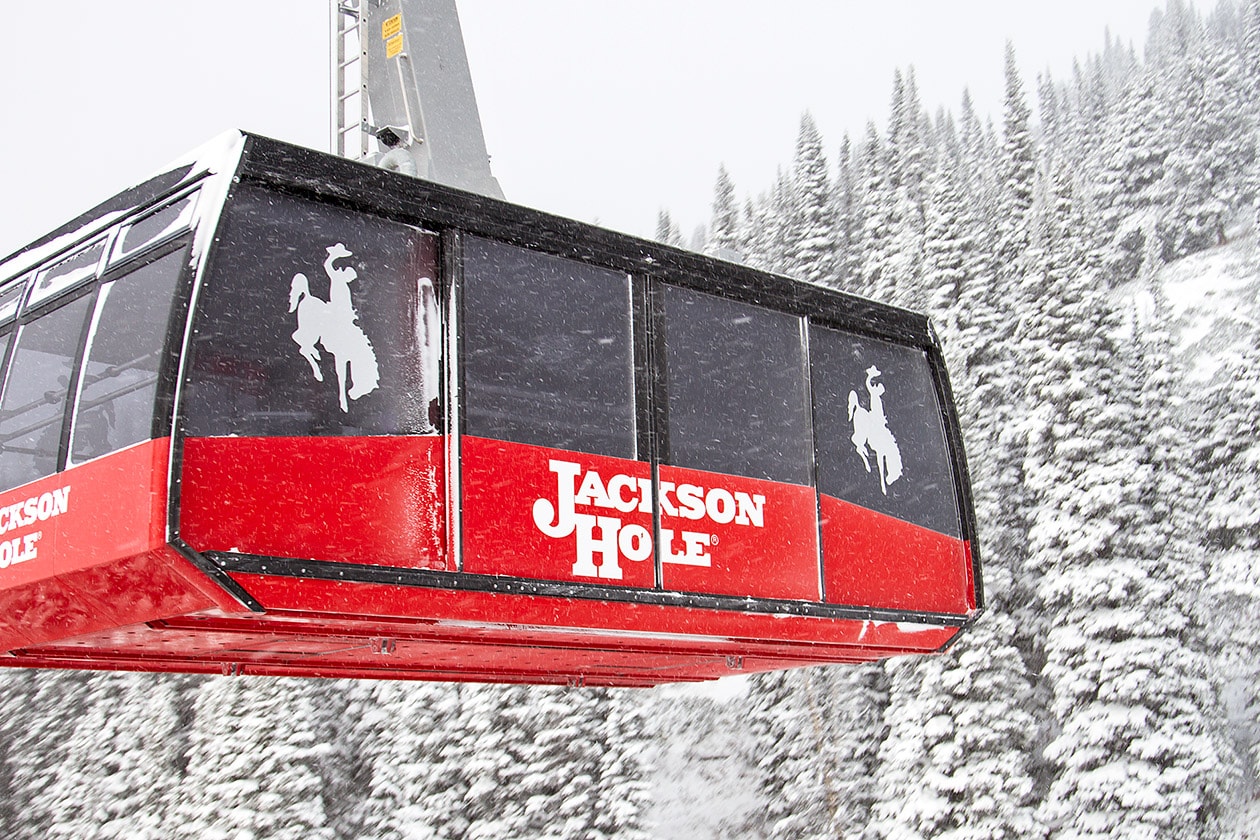
Jackson Hole saw 593″ of snowfall this winter. Yes, the tram is open and yes, you can take your skis/boards up the tram and ride! You just have to go out of bounds.
Grand Targhee saw 503″ of snowfall this winter.
…and they’re both about to get a bit more!
Winter Weather Advisory for Wyoming Today
URGENT - WINTER WEATHER MESSAGE
National Weather Service Riverton WY
140 AM MDT Tue Jun 13 2017

...Late Season Accumulating Snow Expected for Western Wyoming
today...

.An unseasonably strong late Spring storm will produce
significant snowfall across the Western Wyoming Mountains through
today. Sharply colder moisture laden air will be circulating
around the back side of an upper low pressure system as it tracks
across the northern border of Wyoming. This much colder air will
also lower snow levels all the way down to the valley floor at
times early this morning. Snow amounts will likely range anywhere
from from 3 to 10 inches above 7500 feet along with some isolated
amounts of up to 12 inches in the Tetons by this evening. A trace
to 2 inches of snow is expected to accumulate in the Western
Wyoming Valleys by noon today before melting off this afternoon.

Teton and Gros Ventre Mountains-
140 AM MDT Tue Jun 13 2017

...WINTER WEATHER ADVISORY REMAINS IN EFFECT UNTIL 6 PM MDT THIS
EVENING...

* TIMING...The precipitation should changeover to all snow this
  morning. Snow will continue through the day.

* TOTAL SNOWFALL...4 to 10 inches in the Tetons along with
  isolated amounts of 12 inches. 4 to 8 inches on the Gros
  Ventre Range.

* MAIN IMPACT...Highway 22 over Teton Pass will likely become
  slick and snow covered. 20 to 30 mph winds along with 40 mph
  gusts could produce blowing and drifting snow. Wind chills
  will likely be as low as 15 to 25 degrees in exposed areas.

PRECAUTIONARY/PREPAREDNESS ACTIONS...

A winter weather advisory for snow means periods of snow will
cause primarily travel difficulties. Be prepared for snow covered
and slick roads with limited visibilities. Slow down, and allow
extra time to reach your destination. Check the latest road
conditions at wyoroad.info or by dialing 5 1 1.