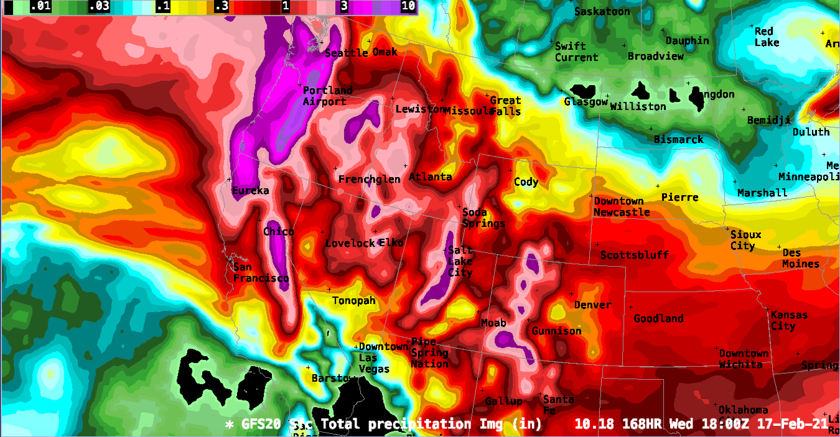
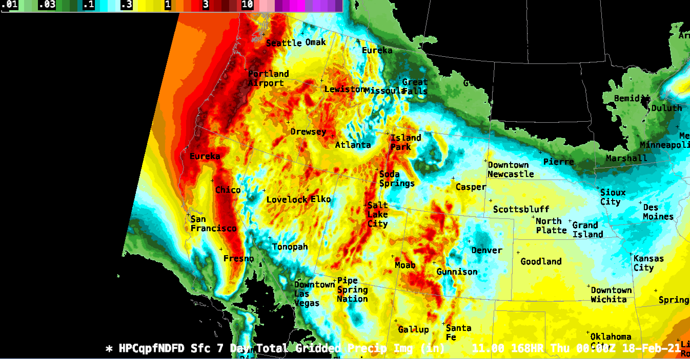
All images courtesy of UCAR AWIPS. Below are respective GFS20 and NECP-H CONUS maps for 7 day expected precipitation (not snowfall). Multiply by typical SLR for accurate snowfall totals. Forecasting snowfall totals is dangerously inaccurate… water precipitation totals are a much better way to forecast storm intensities. A very stormy pattern for the whole US this week!

