Last weeks outlook was off by a couple days but it looks like Las Lenas is going to get a relatively small storm to start what appears to be the beginning of a storm cycle.
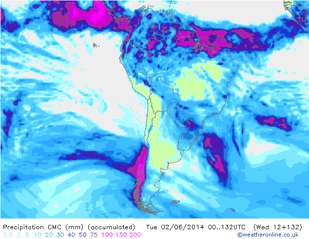
The bulk of the precipitation stays just to the west of Las Lenas, the west side of the Andes looks like it is going to get some moderate snow totals especially central Patagonia. As far as Las Lenas is concerned the Global Forecasting System (GFS) is showing 2″-4″. The Canadian in the model above is showing 4″-7″, 6″-10″ would be the high end total. The GFS almost always under does the snow totals so going to lean with the Canadian (CMC) most of the season. So it looks like the first storm hits on the 29th with the bulk of the snow falling on Thursday afternoon. The models are out of sync for the following storm first week of June. The CMC has it hitting on Tuesday the 3rd while the GFS has it hitting on the fifth.
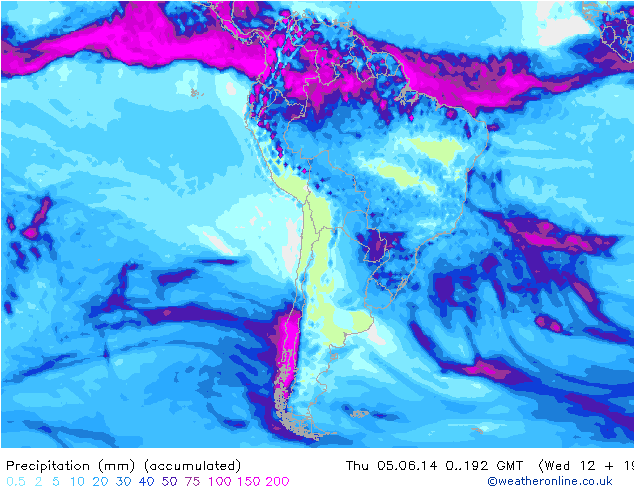
The second storm looks a little bit stronger and drives farther to the north. Best guess on snow totals for Las Lenas on the next storm would be 8″-12″. So a moderate storm but with the serious discrepancy in the timing the overall confidence is low at this point.
Long Range Forecast
The long range forecast looks pretty interesting. The ridge that was sitting off the coast of Buenos Aires is moving east through the Atlantic, while the ridge in the Pacific is retrograding to the west and possibly south as it amplifies. The long wave pattern is opening up for the time being and the amplifying Pacific ridge should help steer the storm track farther north. So to try and come up with some type of time frame for the long range: It looks like there is a storm coming in late on the 8th of June with the bulk of the storm hitting Las Lenas on the ninth. Another storm which appears to be much stronger comes in on the 11th, pounds Termas de Chillan and then looses a little strength as it hits Las Lenas on the twelfth. Timing on storms in the long range are always subject to change.
Fantasy Charts
The Climate Forecasting System (CFS) shows a continuation of periodic storms through the 24th of June, and then again 4th of July. The CFS seems to prolong the current predicted storm cycle with another storm for the 14th of June. So if the general outlook and timing holds, the possibility of a June 20th opening seems pretty realistic. Once again this is the fantasy charts, the CFS has been performing incredibly well, but there are storms in the short and long term forecast so no need to get too carried away.
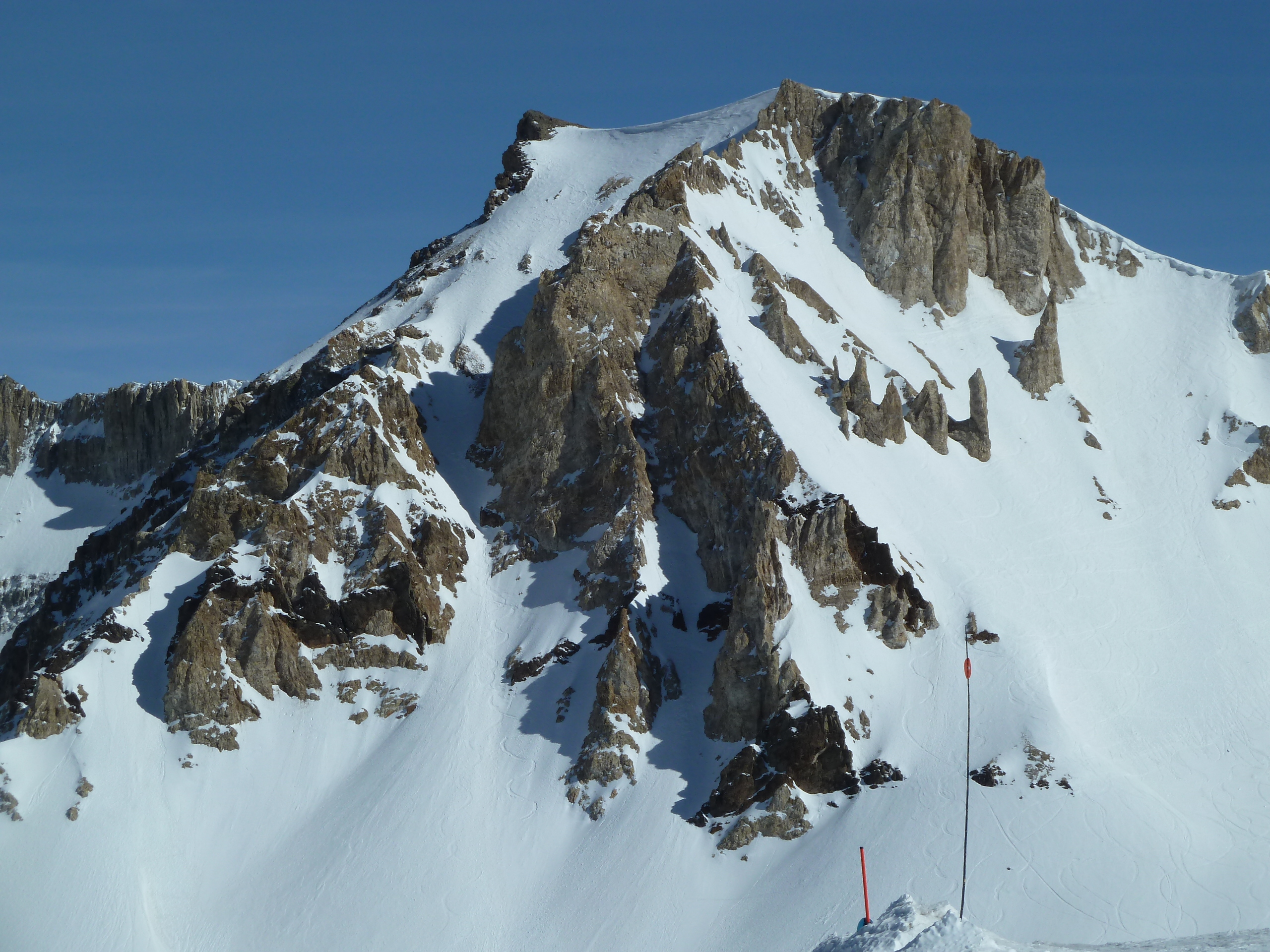
“One of the few if not the only ski resort in the world, where you can come back the next day and take a picture of your tracks!”
Really? It’s always like that if fresh smow doesn’t cover em overnight.
Glad I’m not skiing at all these other resorts u refer to, lol.