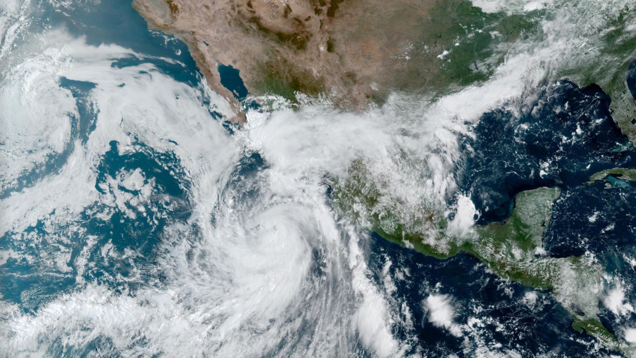
Many Californians experienced a particularly wet weekend as the remnants of Hurricane Kay brought record-high rains to areas already suffering from a historically extreme heat wave. The storm maxed out as a Category 1 Hurricane with 75 mph winds as it moved up the coast of Baja California and made brief landfall in Mexico, then deteriorated to Tropical Storm level before approaching the West Coast. Southern California and Arizona were the areas most heavily affected, and some areas saw an entire six months or even years-worth of precipitation in just 24 hours. Residents prepared for high winds and heavy rainfall, but Kay’s most significant risks came in the form of a patchwork of flash floods and rough sea warnings.
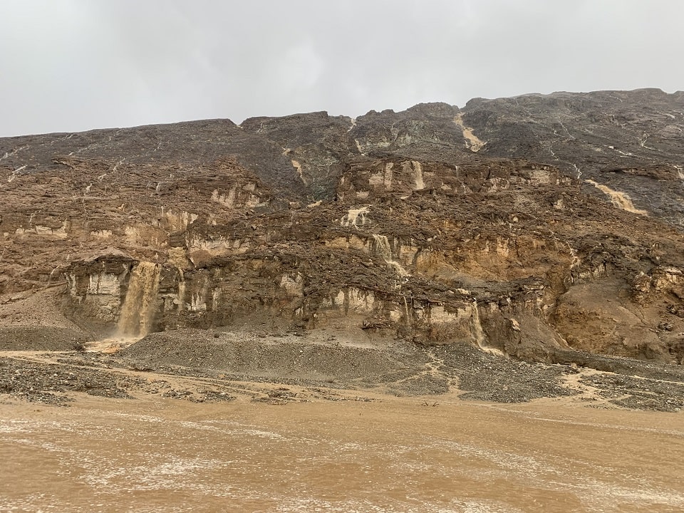
Many parts of California have already been glued to their local meteorologists as the past week saw extreme heat wave temperatures and the spark of several new and uncontained wildfires around the state, but none anticipated seeing the forecasts shift from excessive heat to excessive rainfall quite so quickly. Flood warnings were issued by the National Weather Service across most of Southern California and into corners of Arizona and New Mexico, as well as multiple coastal communities bracing for large swells, strong rip currents, and life-threatening surf hazards. Tropical Storm Kay was never forecast to make landfall north of Mexico, but that did not stop the rainfall from delivering on those powerful flash floods in places like Death Valley National Park where some roads are still closed.
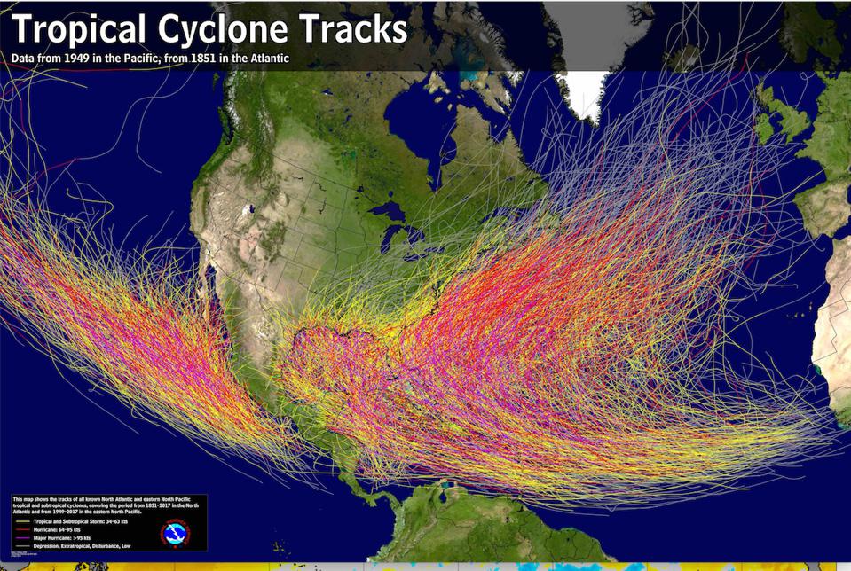
So just how rare is a hurricane on the West Coast in September? Answer: quite rare. Records show the only hurricane that made landfall in California hit San Diego in October 1858 at an estimated Category 1, and in 1939 a Tropical Storm that had just deteriorated from hurricane status made landfall near Long Beach. Other storms have skirted the coast since then, often bringing a degree of rain and cloud cover, but Kay will be the closest cyclone to the California coast since 1997. According to University of South Carolina Professor Cary Mock, an expert on hurricane climatology, one major weather pattern that pushed Kay away from West Coast landfall is the very same upper-level heat wave that’s plagued the area in recent weeks. Pacific Ocean temperatures also average too cold to allow for proper hurricane development—another reason Kay was eventually pushed further west.
While many areas were monitoring flash flood zones, some communities were hopeful this rainfall would bring some relief to the rapid expansion of recently sparked wildfires. Big Bear Ski Resort personnel and firefighters have been battling the Radford fire since September 5th, and firefighters were able to capitalize on high moisture levels to finally gain some control over the blaze. Placer County’s Mosquito Fire, which started on September 6th, has firefighters hoping that some of that same residual atmospheric moisture will aid their efforts further north however, they have yet to see much progress as the fire is still only at 18% containment as of Tuesday morning.