Forecast By SnowBrains Chief Meteorologist – Eric McNamee
1:05 PM MST, 4/11/2022
Forecast Summary:
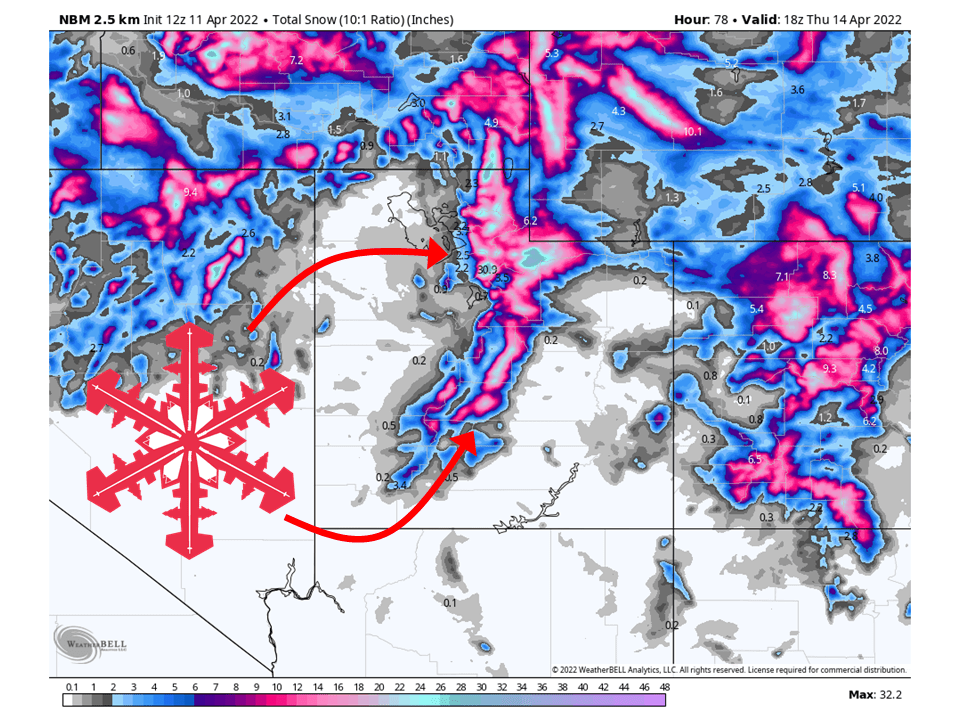
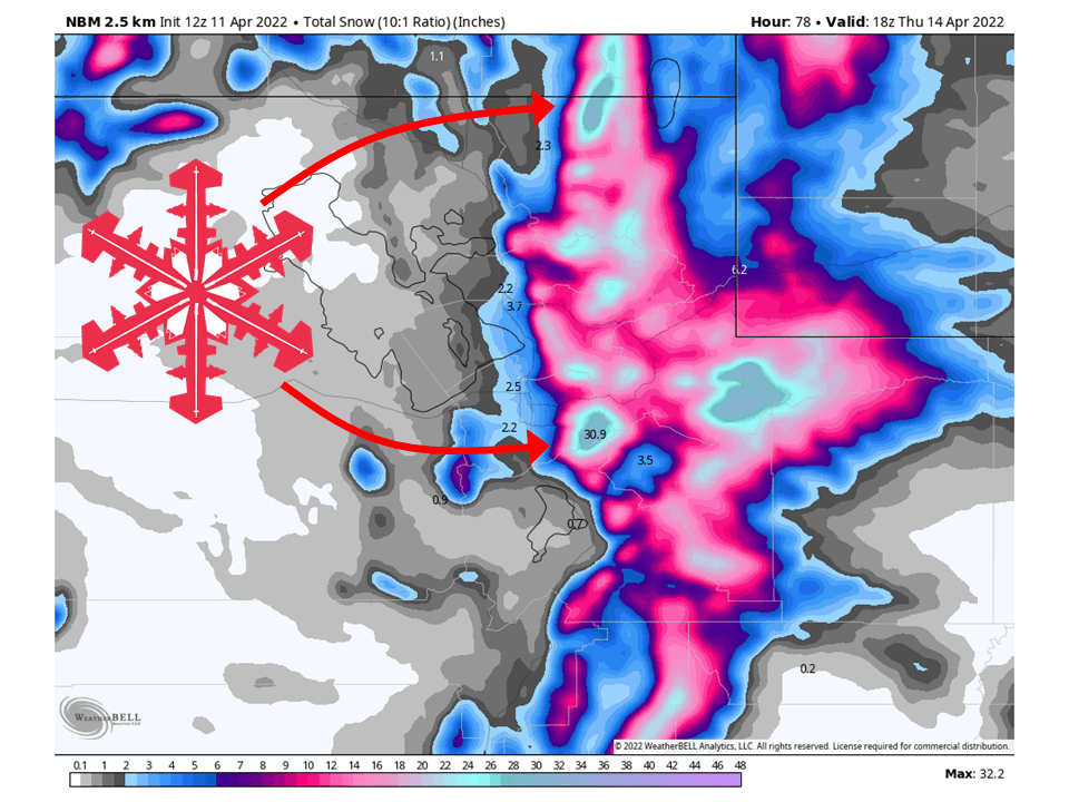
A trough will move through Utah Monday night and bring 1-2 FEET of snow to most mountain locations and over 2 FEET to the Cottonwwods through Thursday.
Snow will develop Monday night as the cold front associated trough moves through.
This will continue through Wednesday before tapering off Thursday.
Conditions will briefly dry out Friday before another system moves through Saturday/Sunday.
Resorts that will see the most snow are Alta, Snowbird, Brighton, Solitude, Deer Valley, Park City, Canyons, Snowbasin, Powder Mountain, and Beaver Mountain.
Short-Term Forecast:
Monday-Thursday:
A trough will push through Utah Monday night and bring 1-2 FEET of snow, to most mountain locations and over 2 FEET to the Cottonwwods through Thursday.
Snow will start Monday afternoon and pick quite a bit in intensity as a stout cold front pushes through from the northwest during the evening.
Snow will continue behind the front as moist, unstable, northwest flow allows orographic lift to keep snow showers going.
This will continue through the day Wednesday before decreasing a bit Wednesday night.
During the day Thursday, snow will taper off by noon for most locations.
Winter Storm Warnings and Winter Weather Advisories have been issued by the National Weather Service in anticipation of this.
Long-Term Forecast:
Friday-Sunday:
Conditions will briefly dry out Friday before another system moves through Saturday into Sunday.
Snowfall totals are not certain at this time but should see another round of healthy snow that will make for soft turns.
Conditions then dry out heading into next week.
Extended Forecast:
Sunday and Beyond:
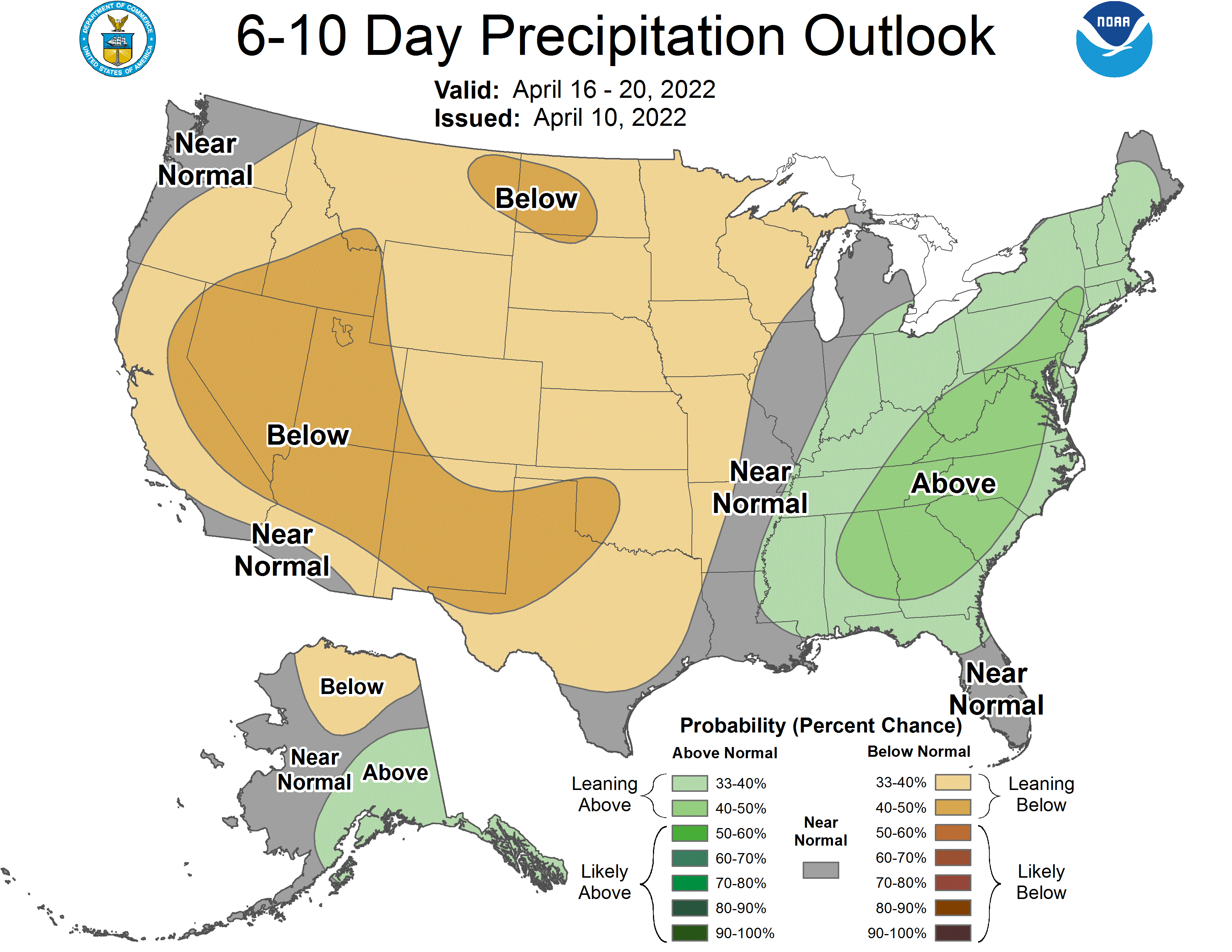
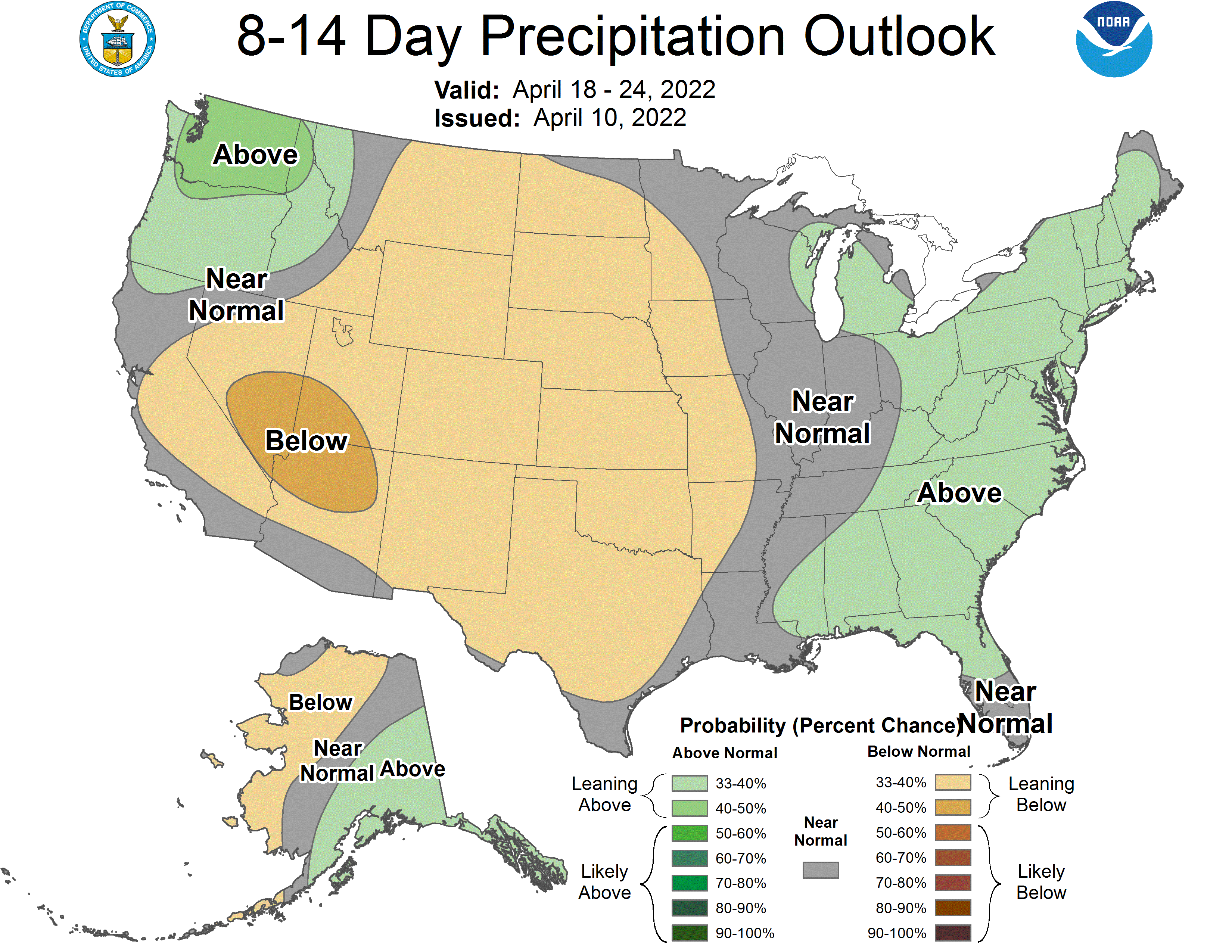
Global ensembles are indicating below-average precipitation and below-average temperature across Utah through the extended.