Forecast By SnowBrains Chief Meteorologist – Eric McNamee
10:00 PM MST, 12/28/2021
Forecast Summary:
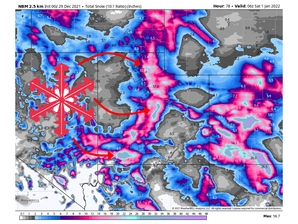
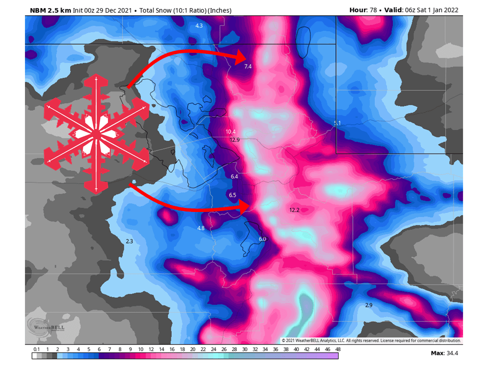
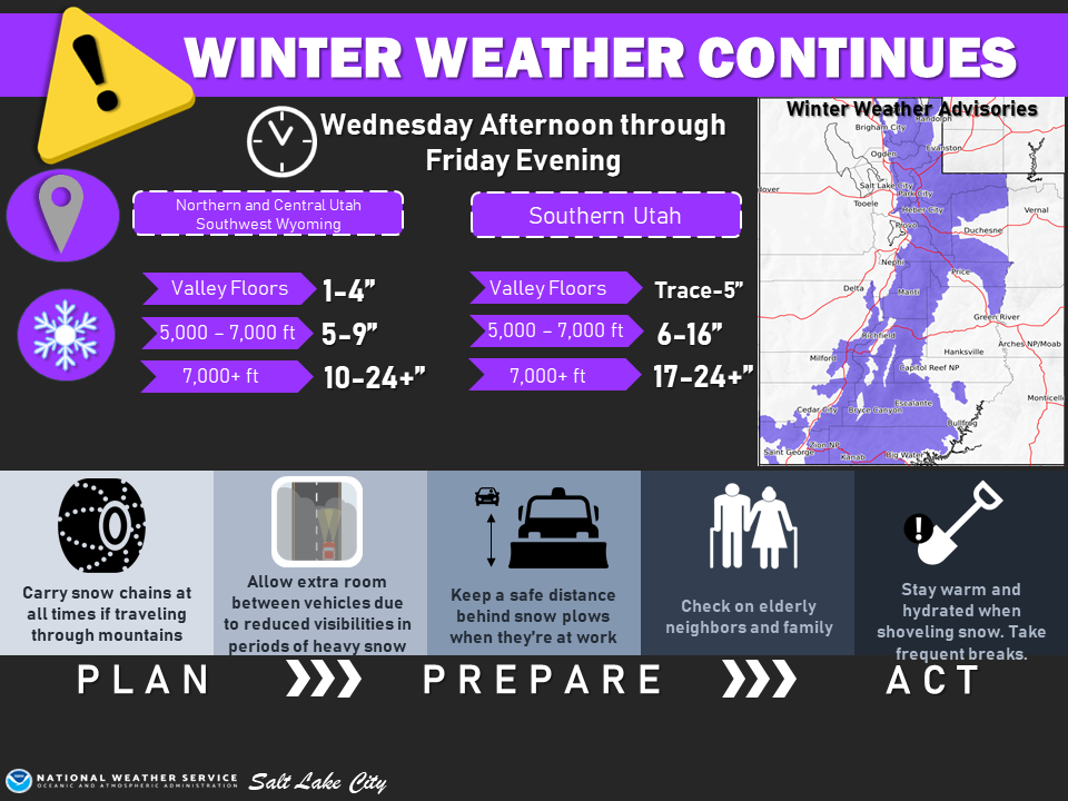
A series of disturbances will move through Utah Wednesday through Friday and bring 1-3 FEET of snow to most mountain locations through Friday.
Snow will continue Tuesday night through the day Wednesday before tapering off ahead of the next wave Wednesday night
Snow showers will continue on and off through Friday before tapering off heading into Saturday.
Dry conditions are expected through the weekend with another system possible in the middle of next week.
Resorts that will see the most snow are Alta, Snowbird, Brighton, Solitude, Deer Valley, Park City, Canyons, Snowbasin, Powder Mountain, Beaver, and Brian Head.
Short-Term Forecast:
Tuesday Night-Friday:
A series of disturbances will move through Utah Wednesday through Friday and bring 1-3 FEET of snow to most mountain locations through Friday.
As mentioned, now will continue into Wednesday morning before mostly tapering off ahead of the next wave Wednesday night.
Snow will then continue on and off through Thursday and Friday as the following wave moves in Thursday night.
These systems will be cold and unstable, helping with almost continuous snowfall.
There is also the chance for some lake-effect snow Friday night south and east of the Great Salt Lake Friday into Saturday.
Winter Weather Advisories have been issued by the National Weather Service in anticipation of this.
Long-Term Forecast:
Saturday-Tuesday:
Conditions will be dry out during the day Saturday and remain dry through early next week.
By Tuesday/Wednesday, there looks to be the possibility of another system moving into the region.
It’s currently too far out to estimate snow totals but it looks promising.
Extended Forecast:
Sunday and Beyond:
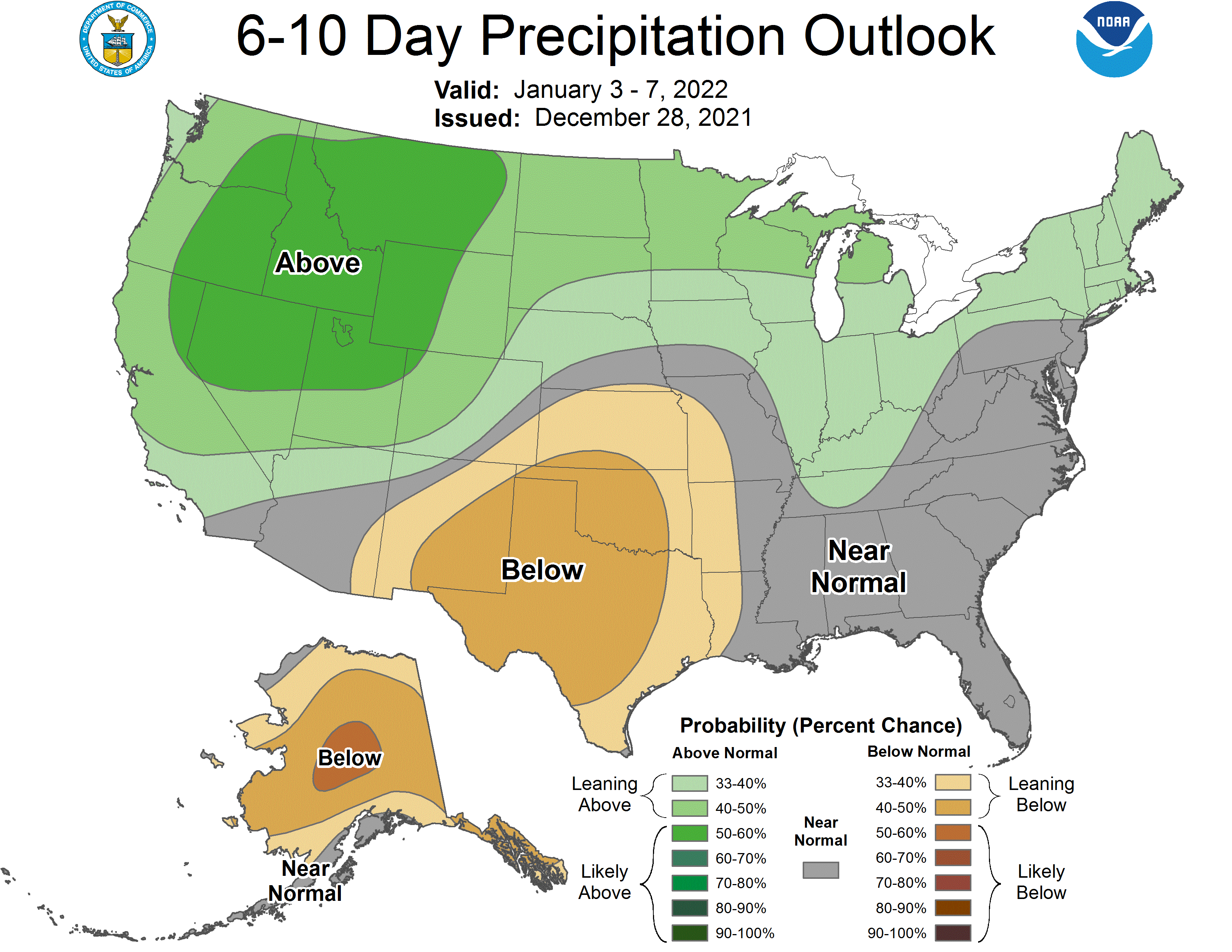
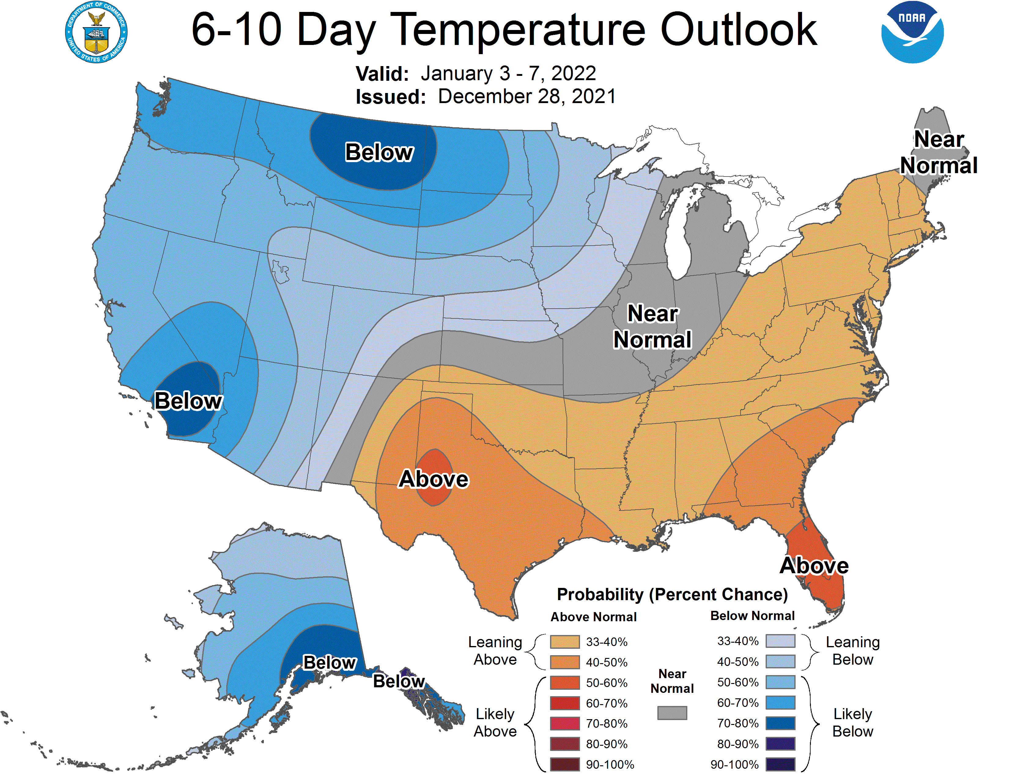
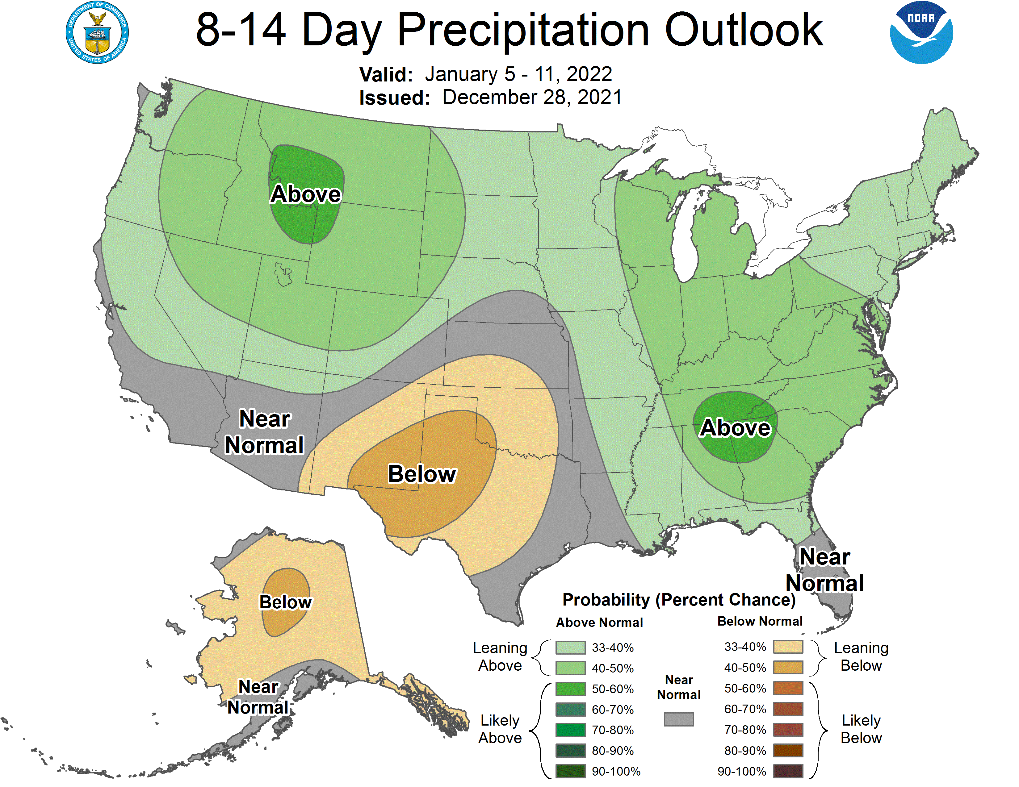
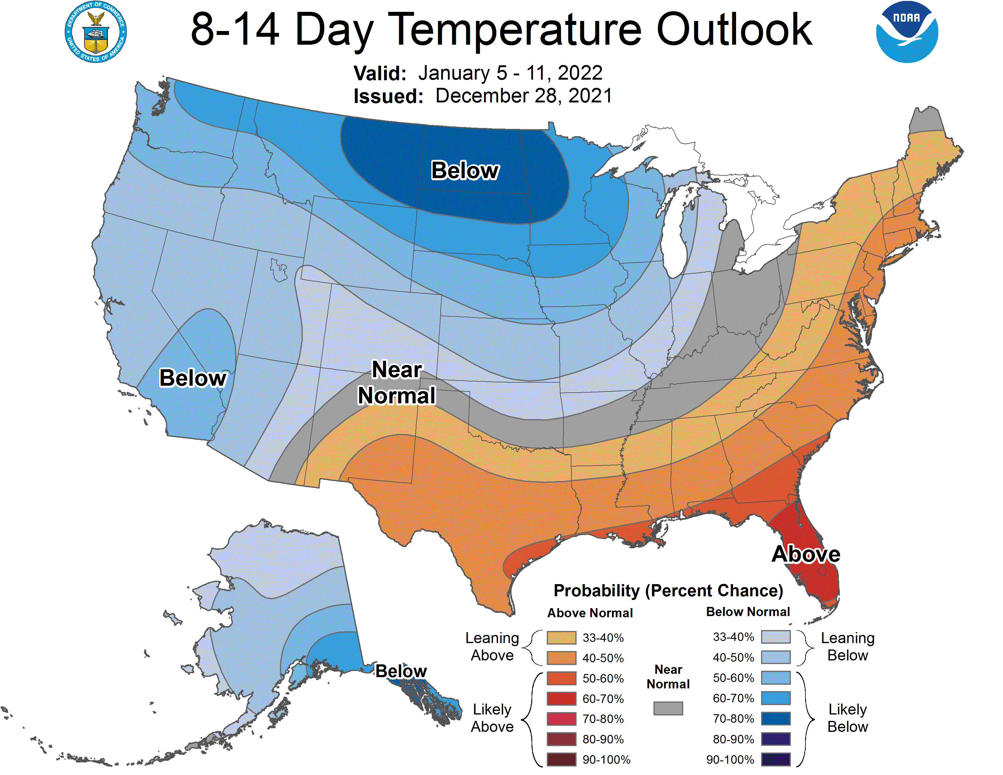
Global ensembles are indicating an active pattern continues with above-average precipitation and below-average temperature across the region through the extended.