Forecast By SnowBrains Chief Meteorologist – Eric McNamee
7:30 PM MST, 2/20/2022
Forecast Summary:
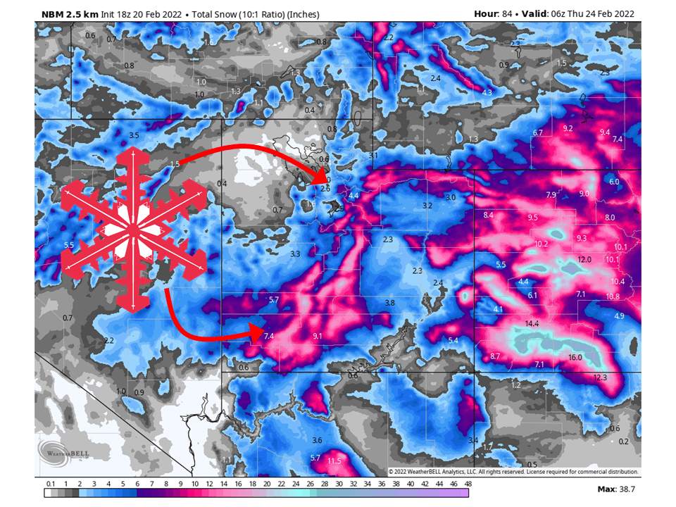
Two shortwave troughs will move through Utah this week and bring 4-12″ of snow to most of Utah’s mountains through Wednesday.
Snow will start Sunday night and continue into Wednesday morning.
Showers will taper off throughout the day Wednesday as the trough moves east.
Conditions will temporarily dry out Wednesday night before another weak system moves through northern Utah Thursday/Friday.
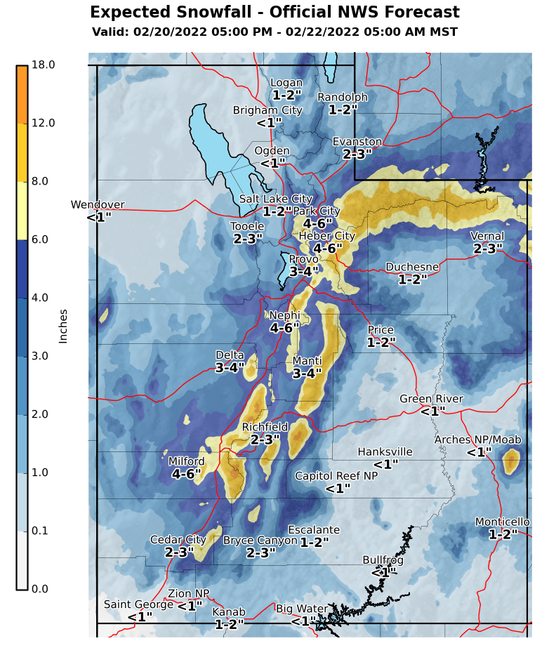
Resorts that will see the most snow are Alta, Snowbird, Brighton, Solitude, Sundance, and Brian Head.
Short-Term Forecast:
Sunday Night-Wednesday:
Two shortwave troughs will move through Utah this week and bring 4-12″ of snow to most of Utah’s mountains through Wednesday.
Snow will get going Sunday night as the first shortwave moves into the state.
This will be associated with the cold front pushing from north to south.
Snow will fall apart a bit over the northern Wasatch before redeveloping over the central Wasatch and central Utah.
Snow will continue through Monday with the first shortwave before moving east out of the region.
The second shortwave will close off into a cutoff low and redevelop snow over southern and central Utah.
Snow will then continue through Tuesday and Wednesday before tapering off Wednesday night as the shortwave slowly pushes east.
Winter Weather Advisories have been issued in anticipation of this.
Long-Term Forecast:
Thursday-Sunday:
Another weak system will push through northern Utah Thursday night into Friday.
Totals are not known at this time, but the system does not look that impressive, likely leading to light amounts.
Conditions will then dry out heading into the weekend.
Extended Forecast:
Sunday and Beyond:
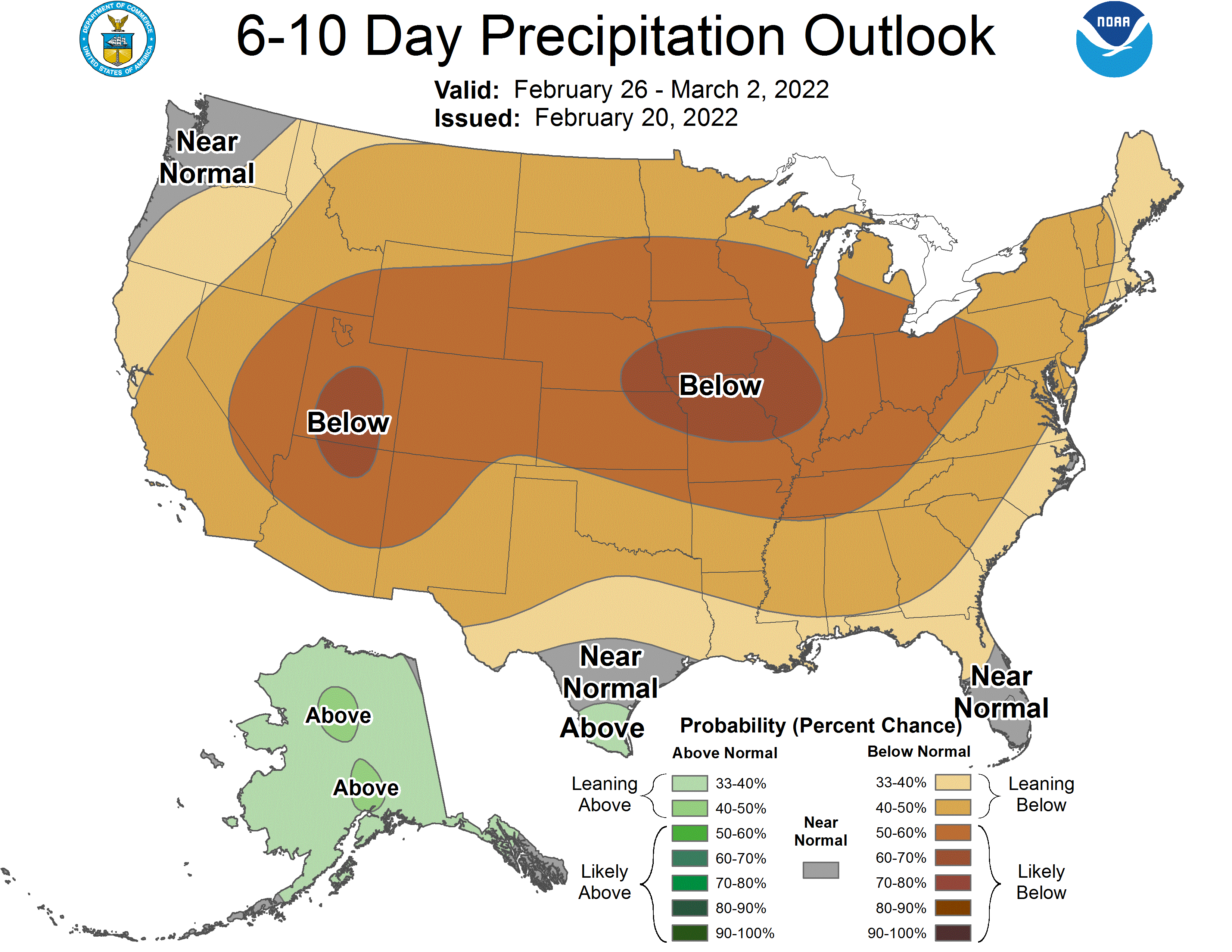
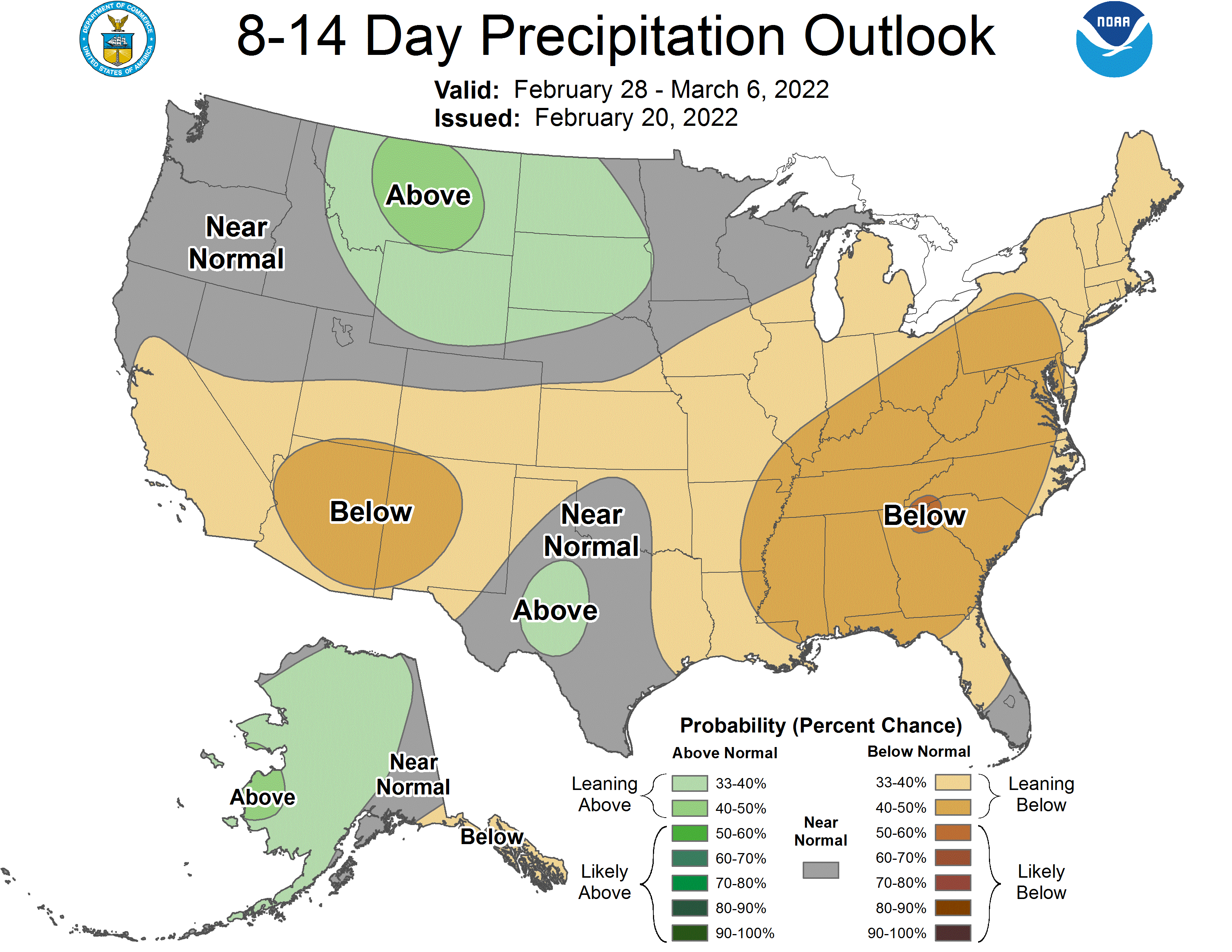
Global ensembles are indicating below-average precipitation across Utah in the extended.