This forecast was written by SnowBrains forecaster Clay Malott
Sunday, November 13th, 3:30 pm PST
After weeks of high pressure and snow-less weather, significant snowfall will finally hit the East Coast this week, bringing 4-8″ to ski areas in New York, Vermont, Maine, and New Hampshire. Specifics remain uncertain, so stay tuned for updated forecasts this week as the models lock in closer to the event.
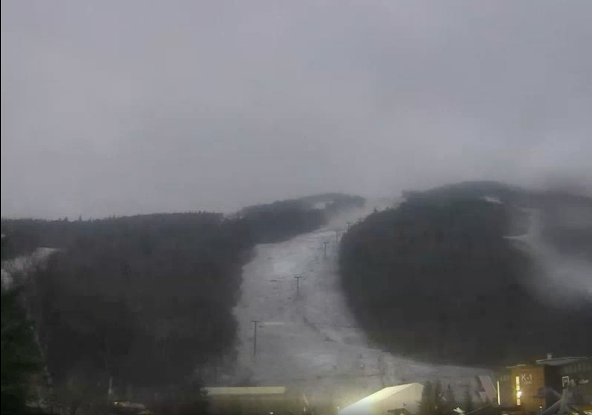
Rain blanketed most of the Northeast yesterday due to a moisture surge from the south. Colder post-frontal air allowed some of this precipitation to fall as snow at some resorts this afternoon, as seen by webcams at Killington:
Aside from a few lake effect showers, most of the snow is done in the East until the main event begins on Tuesday evening. Precipitation will begin in the south, starting in the Appalachians in West Virginia and creeping north overnight.
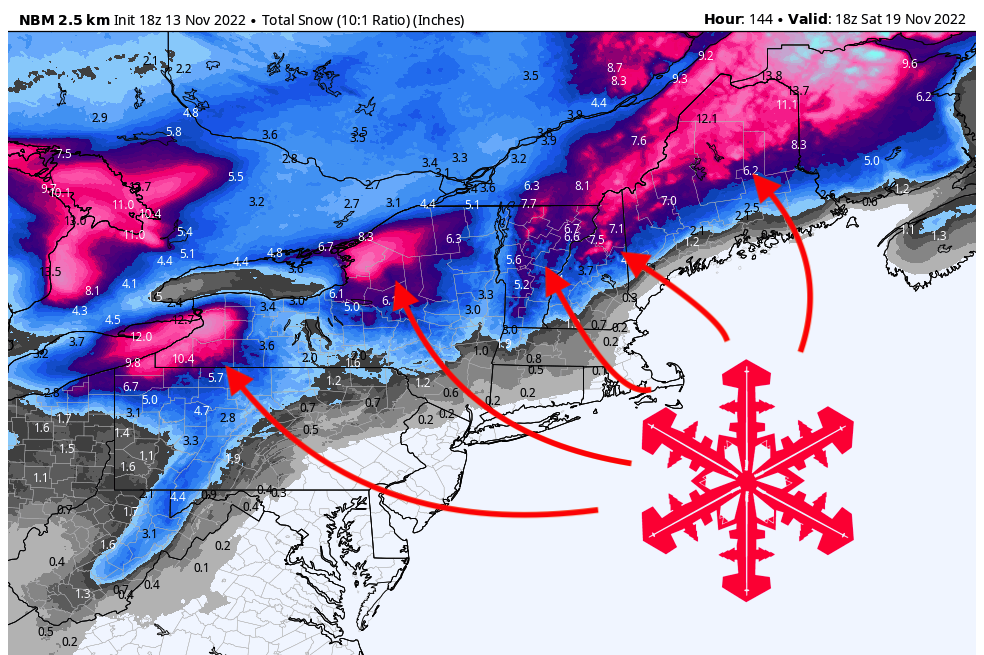
Accumulations will be light by Wednesday morning, with 1-4″ across the Northeast. The core of moisture and snowfall will move through eastern New York, Vermont, and New Hampshire throughout the day on Wednesday. Showers will linger in Vermont and New Hampshire overnight through Thursday morning. By Thursday morning, here are what I see as possible amounts at resorts across the region (at roughly mid-mountain). Keep in mind these numbers could change between now and the event as the models get a better idea of specifics:
- Killington (2,900′): 6-8″
- Stratton (2,900′): 6.5-8″
- Sugarloaf (2,100′): 7-9″
- Sugarbush (3,000′): 6-7″
- Sunday River (1,400′): 6-8″
- Smuggler’s Notch (2,300′): 6-8″
- Jay Peak (2,600′): 6-8″
- Stowe (2,200′): 6-8″
- Okemo (2,000′): 5-7″
- Mt. Snow (2,800′): 6.5-8.5″
Snow will linger throughout the week along the lakes in New York due to the lake effect from the cold post-frontal airmass. For the most part, this snow will not affect any ski areas. However, the cold temperatures following this storm will allow ski areas to fire up their snowmaking equipment and make snow.
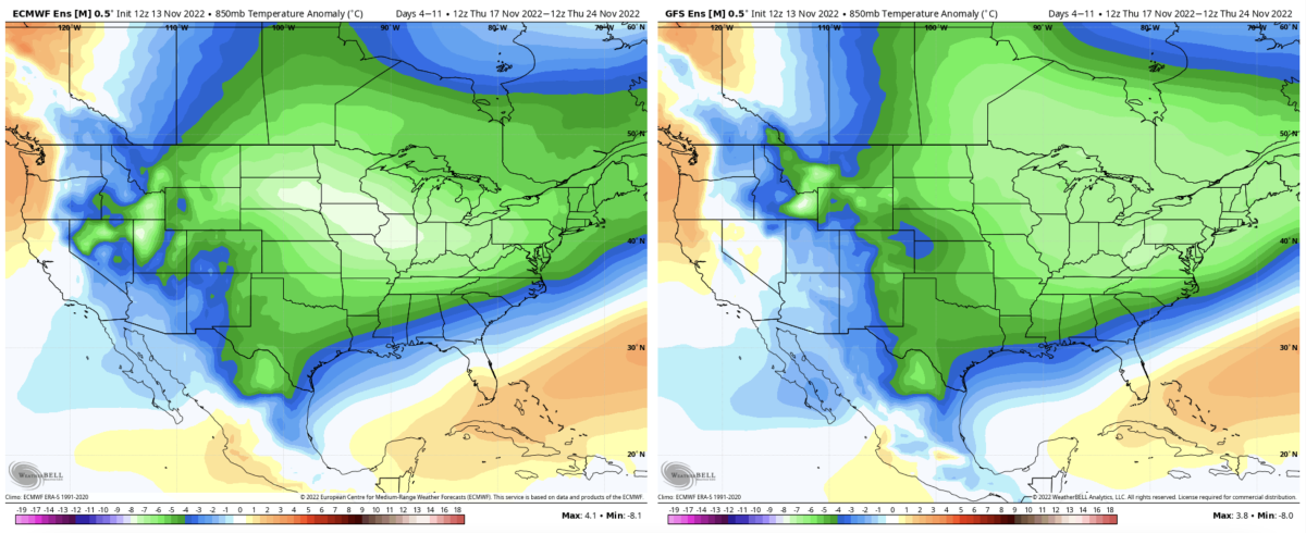
Ensemble models are showing good agreement for the below-average temperatures to stick around for a while after this system. This is due to a high-pressure system in the West driving arctic air down into the Northeast. Check out the lower-atmosphere temperature anomalies from the American and European ensembles (below).
The models keep this colder air around through mid-November and show average to above-average temperatures returning around the end of the month.