Forecast By SnowBrains Chief Meteorologist – Eric McNamee
10:00 PM MST, 1/29/2022
Brought to you by RED Mountain Resort, BC
Forecast Summary:
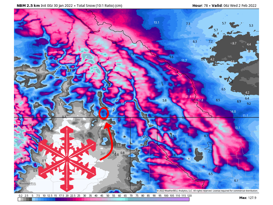
A shortwave trough will move through British Columbia and bring 5-15 cm (3-5″) of snow to RED Mountain Resort.
Snow will initially start early Sunday and continue on and off through Tuesday.
Showers will largely taper off Tuesday night as the trough moves out of the region.
More snow looks possible later in the week.
Short-Term Forecast:
Sunday-Tuesday:
A shortwave trough will move through British Columbia and bring 5-15 cm (3-5″) of snow to RED Mountain.
As mentioned snow will initially start early Sunday as the shortwave trough drags moisture into the region.
This plume of moisture will move out of the area, but atmospheric dynamics will support snow showers continuing through Monday and Tuesday.
Snow will then taper off Tuesday night as the trough moves out of the region.
Long-Term Forecast:
Wednesday-Saturday:
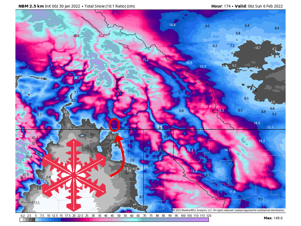
Another system could possibly move through the area later in the week, bringing more chances of snow for the mountain.
Right now snowfall totals are not certain, but most of the heavier amounts will be to the north of the area.
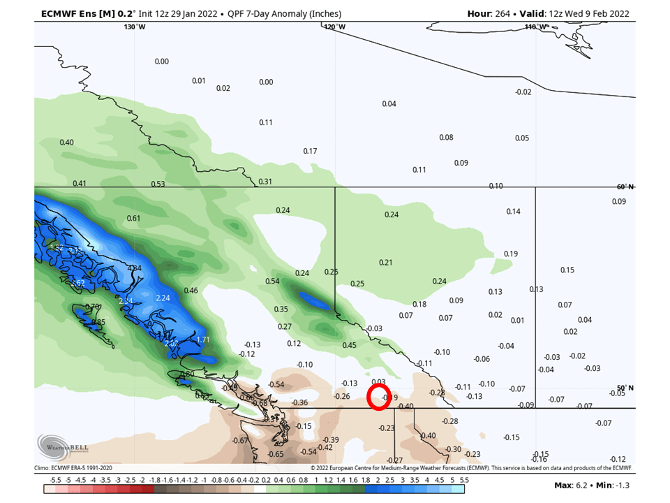
Extended Forecast:
Saturday and Beyond:
Global ensembles are indicating near to below-average precipitation across the region in the extended.