Forecast By SnowBrains Meteorologist – Eric McNamee
11:55 AM MST, 3/31/2021
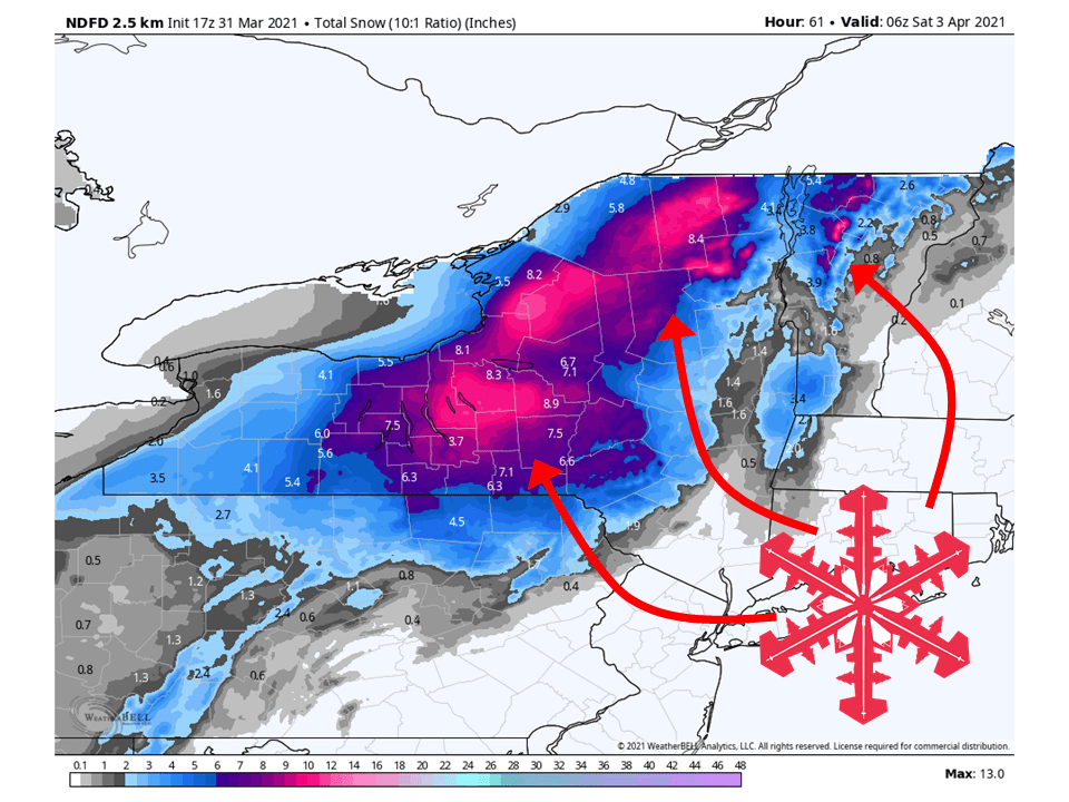
Forecast Summary:
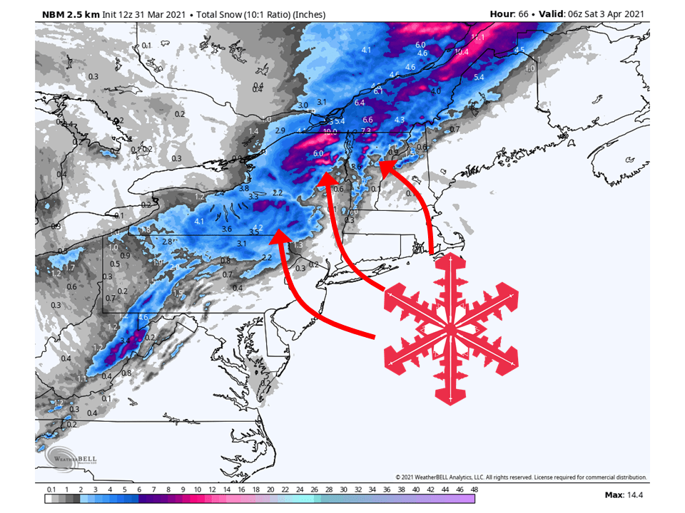
A trough will move through the Northeast US today through Friday, bringing 6-12″ of snow to parts of upstate New York and Vermont.
Rain will initially start out through today before changing over to snow tonight as the surface front moves through.
Snow will taper off during the day Friday as the trough progresses eastward.
Conditions look to dry out heading into the weekend and next week.
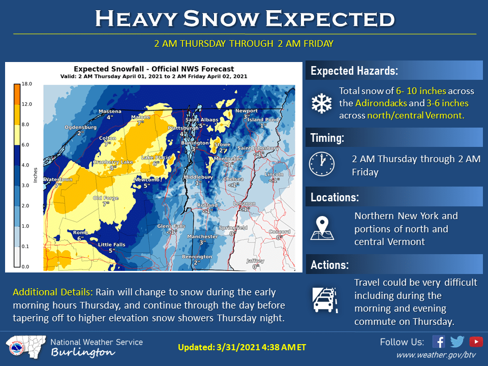
Resorts likely to get the most snow are Sugarbush, Stowe, Jay Peak, Gore Mountain, and Whiteface.
Short-Term Forecast:
Wednesday-Friday:
A trough will move through the Northeast the next couple of days, bringing 6-12″ of snow to upstate New York and Vermont.
Precipitaion will initially start out as rain before changing over to snow tonight as the surface front moves through the region.
Snow will continue through the day Thursday before being mostly confined to higher elevations Thursday night.
Snow will then taper off during the day Friday as the trough moves off to the east.
Long-Term Forecast:
Saturday-Tuesday:
Some additional snowfall is likely this Sunday but will be relatively light and mostly be a reinforcement of colder air.
Conditions will generally clear out heading into next week as a ridge of high pressure builds over the US.
Extended Forecast:
Tuesday and Beyond:
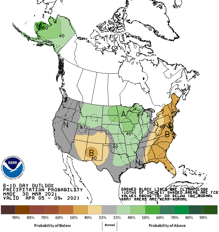
Global ensembles indicate precipitation being below-average and temperatures above-average in the extended period of the forecast.