Forecast By SnowBrains Meteorologist – Eric McNamee
Brought to you by Alta Ski Area
2:15 PM MST, 4/13/2021
Forecast Summary:
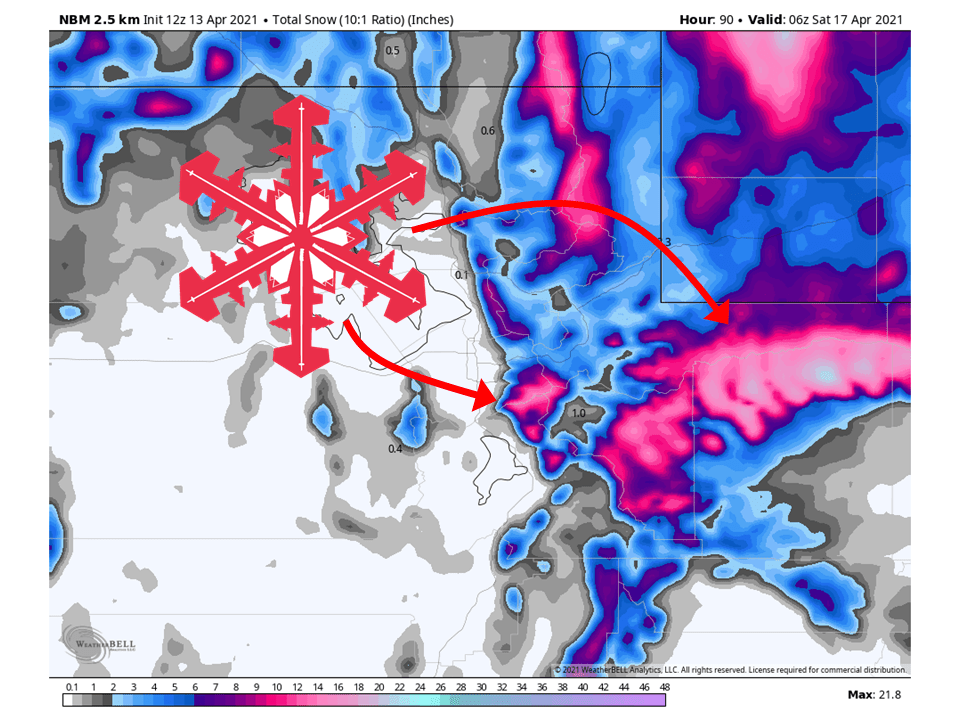
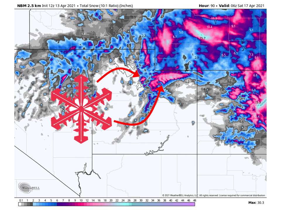
A slow-moving closed low will develop over the Great Basin, bringing 8-12″ of snow to the Cottonwood Canyons in Utah and with more falling in the Uintas.
Snow will start later tonight and continue on and off through Friday
Conditions will clear out this weekend as high pressure builds over the western US.
Resorts that look to see the most snow are Alta, Snowbird, Brighton, and Solitude.
Short-Term Forecast:
Tuesday-Friday:
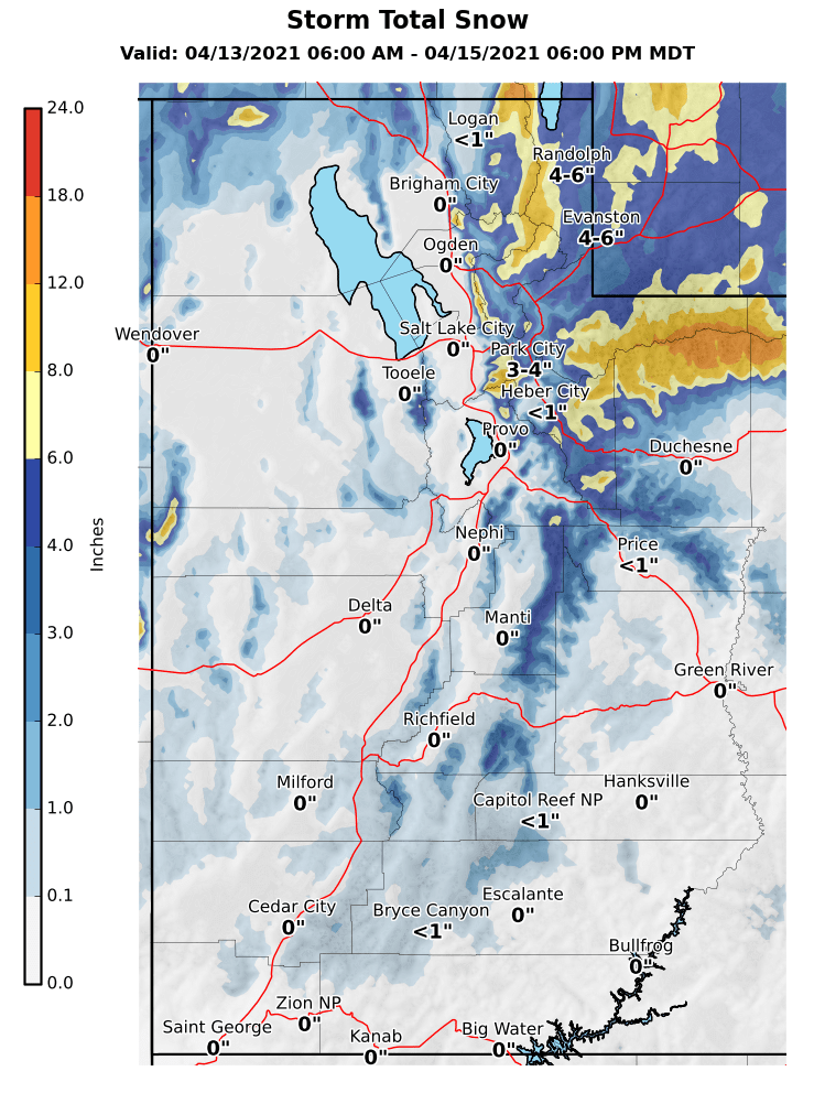
8-12″ of snow is expected to fall in the Cottonwood Canyons through Friday as a slow-moving closed low develops over the Great Basin, more is expected in the Uintas.
Snow will develop later tonight as the closed low begins to develop and draw moisture into the region.
The heaviest of the snow will likely fall during the day Wednesday and then continue on and off through Friday.
Snow could change over to rain at times with this system as warmer air associated with the moisture moves into the state.
This will be a good last dump of snow before closing day for the Big Cottonwood resorts.
Long-Term Forecast:
Saturday-Monday:
Conditions will clear out heading into the weekend as high pressure builds over the western US.
This will lead to sunny skies and warmer temperatures.
Extended Forecast:
Thursday and Beyond:
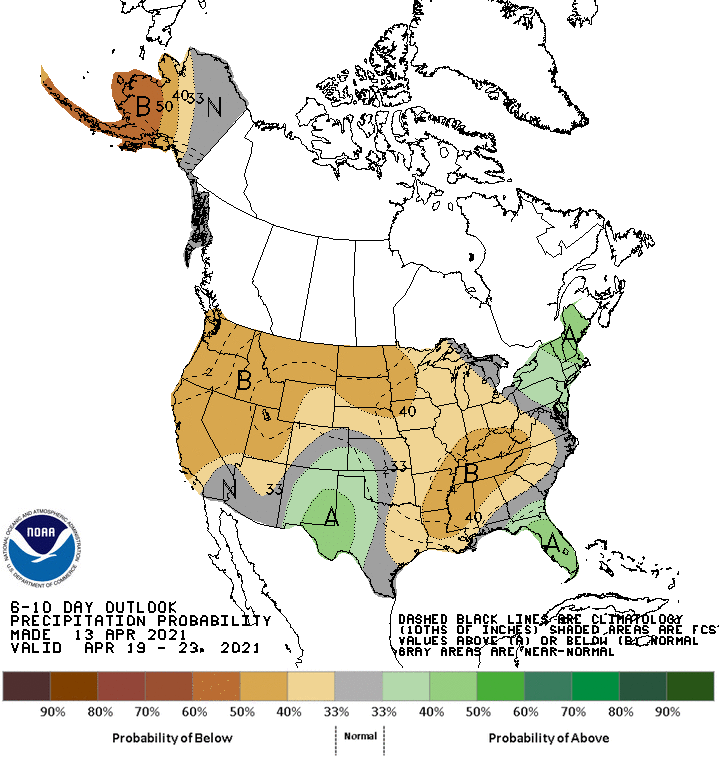
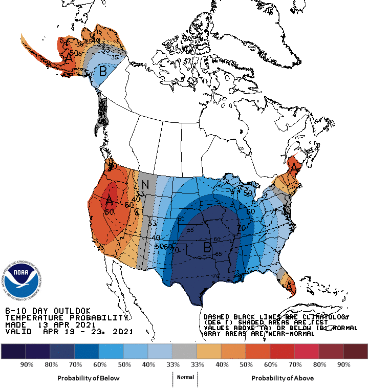
Global ensembles are indicating below-average precipitation and above-average temperatures in the extended.
**Alta Forecast**
8-12″ of snow is expected at Alta through Friday as the closed low moves through the state.
Snow will develop later tonight as the closed low begins to develop and draw moisture into the region.
The heaviest of the snow will likely fall during the day Wednesday and then continue on and off through Friday.
Snow could change over to rain at times at the base of the mountain.