Forecast By SnowBrains Meteorologist – Eric McNamee
11:20 AM MST, 4/19/2021
Forecast Summary:
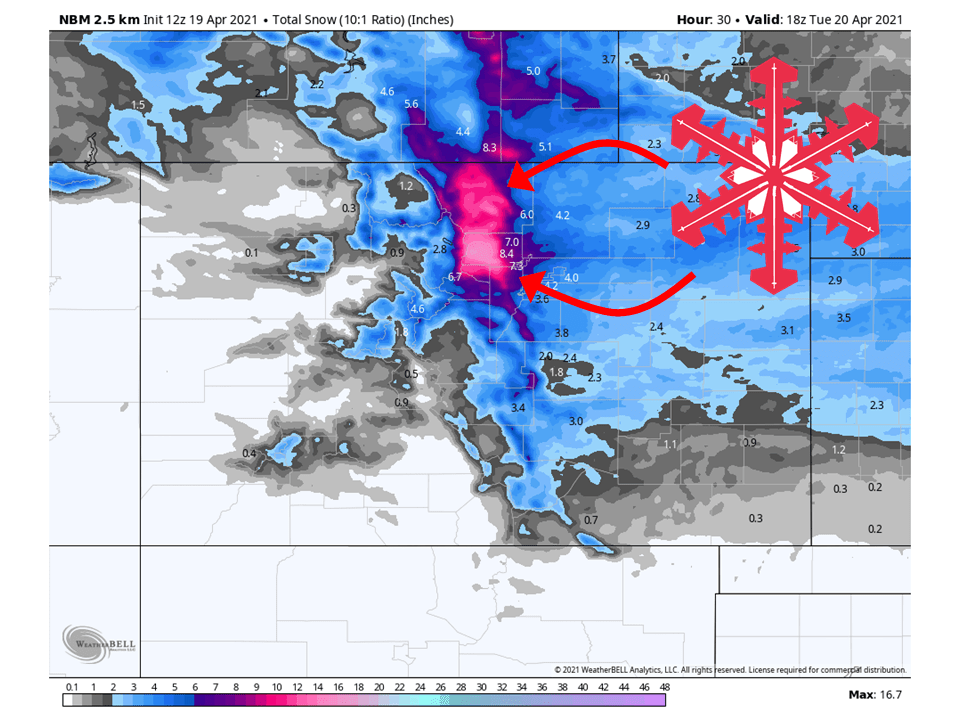
A shortwave trough will move through the state today and bring 6-18″ of snow to the Front Range through tomorrow.
Snow will begin later this afternoon and pick up in intensity overnight.
Tomorrow afternoon, snow will taper off as the shortwave moves out of the area.
Some more light accumulations are likely later in the week.
Resorts that look to see the most snow are Loveland, Eldora Mountain, Arapahoe Basin, and Winter Park.
Short-Term Forecast:
Monday-Wednesday:
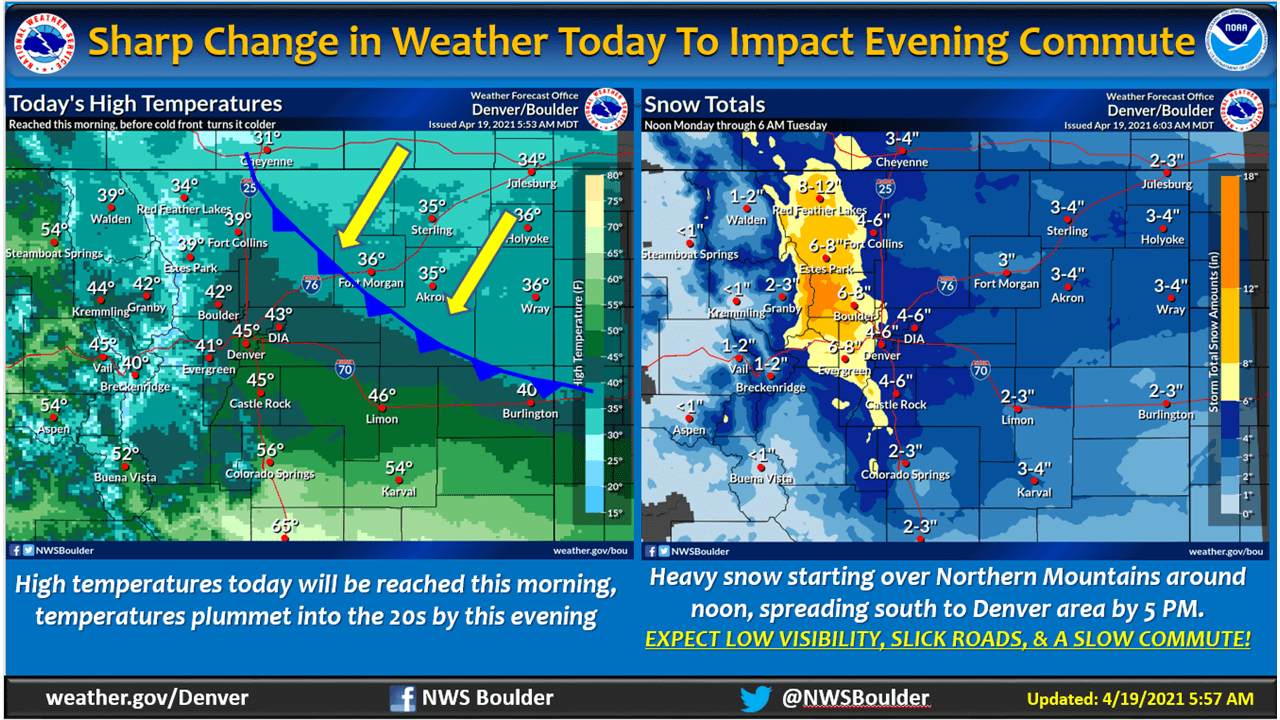
A shortwave trough will move through the state this afternoon and evening, bringing 6-18″ of snow to the Front Range through tomorrow.
Snow will start this afternoon and pick up this evening as dynamics associated with the shortwave trough ramp up.
Scattered snow will continue into tomorrow morning before tapering off by noon.
Conditions will clear briefly before more snow falls across the region Wednesday.
Accumulations will be relatively light Wednesday compared to tonight.
Winter Weather Advisories and Winter Storm Warnings have been issued for the area from Colorado Springs northward.
An upper trough extending from the Great Lakes west into MT will
be diving down the northern Rockies and across CO tonight. That
means we`ll be in the region of synoptic lift during the day
today. A strong cold front is charging south down the lee of the
Rockies, though there will be two surges associated with it. The
first surge has already pushed out of Nebraska and is heading
southwest into northeastern Colorado. The GOES Nighttime
Microphysics RGB curve and observations show the low stratus
surging south. This will continue into the forecast area this
morning with a few showers near the northern state border
possible. As the first surge hits into the higher terrain, the
airmass will deepen, but forecast soundings showing the saturated
airmass will be warmer than -10 degrees C, which may allow for
patchy drizzle across the plains and into the foothills. With the
addition of this low cloud deck, ended up decreasing max temps
over most of the plains north of I-70. Late this morning and into
the early afternoon, a second surge, associated with 700mb
frontogenesis will charge south to deepen the saturated layer and
cool it off, allowing for snow production. Areas near the northern
state border will likely see this begin around noon to 2pm, with
snow surging into the Denver area in the 3pm to 5pm time frame.
Temperatures will be rapidly cooling into the 20s. This along with
the synoptic and frontogenetical lift, upslope flow and some weak
CAPE, should be able to produce some moderate to heavy snowfall
heading into the evening. Several models still showing upwards of
an inch of liquid for the mountains and higher foothills of
Boulder and Larimer counties, while down lower into the western
suburbs should see .5 to .8 inches of liquid. The speed of the
system will be quick, with the snow event only lasting about 12
hours. Therefore, should see some inch to inch and a half an hour
at times for snowfall rates. With the expected amounts happening
fairly quickly, will upgrade the Front Range mountains and
foothills, as well as the western urban areas such as Boulder down
into Golden to a Winter Storm Warning. Expecting hazardous
driving conditions to likely develop this evening with heavy snow,
rapid cooling and gusty northeasterly winds, with possible snow
squall conditions. This has a high potential to impact the evening
commute, so travelers are urged to alter plans in the
aforementioned areas.
-NWS Boulder 4/19/2019
Long-Term Forecast:
Thursday-Sunday:
Conditions will clear out again Thursday as the system moves out of the region.
Another weak shortwave will move through Friday, bringing more light accumulations to the state.
By this weekend, high pressure will build over the region and clear conditions out.
Extended Forecast:
Sunday and Beyond:
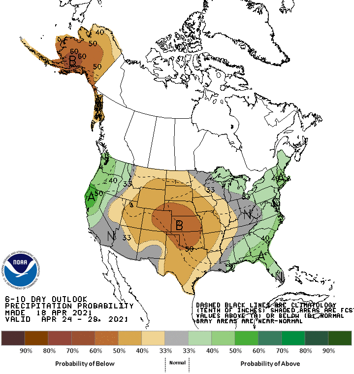
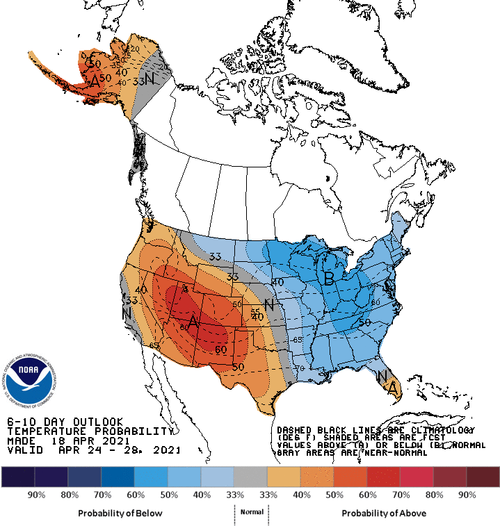
Global ensembles are indicating below-average precipitation and above-average temperatures across the region in the extended.