Forecast By SnowBrains Meteorologist – Eric McNamee
9:00 PM MST 1/14/2022
Forecast Summary:
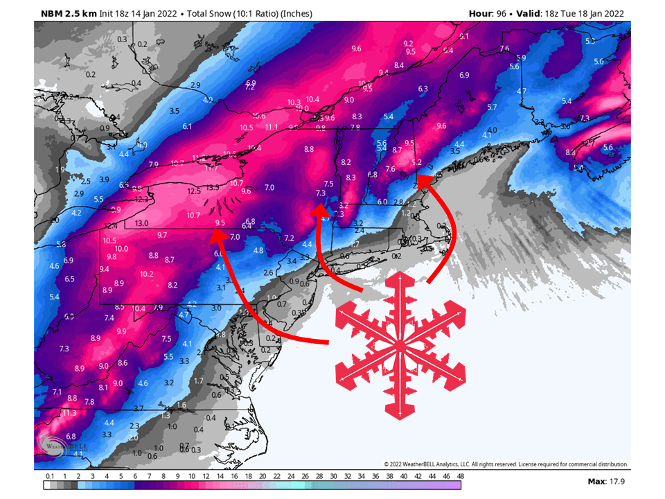
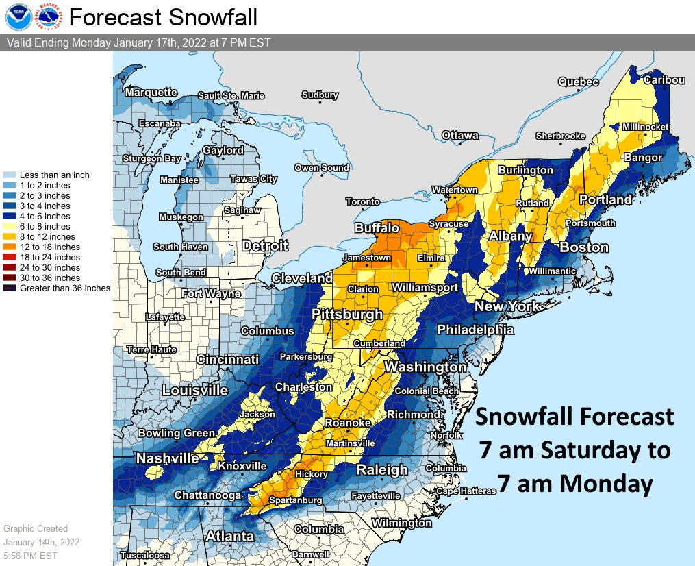
A strong low will track across the region Monday/Tuesday and bring upwards of a foot of snow to interior portions of the Northeast.
Snow will get started Monday morning and fill in from south to north.
By Tuesday afternoon, snow largely tapers off across the region as the low tracks off towards Nova Scotia.
Resorts likely to get the most snow are Killington, Hunter, Okemo, Jay Peak, Mad River Glen, Loon, Whiteface, Stratton, and Sunday River.
Short-Term Forecast:
Saturday-Tuesday:
A strong low will track across the region Monday/Tuesday and bring upwards of a foot of snow to interior portions of the Northeast.
Snow will start to fill in Monday morning from north to south as the low lifts from the Southeast this weekend.
Snowfall rates will pick up to 2-3″ at times Monday as the low intensifies into a classic Nor’ easter.
Because of this, winds will be quite strong and lead to near-whiteout conditions in some locations.
This has led to the National Weather Service issuing Winter Storm Watches across most of the interior Northeast.
By Tuesday, the heaviest of snow will taper off and be focused over interior New England as the storm moves off to the north and east.
Long-Term Forecast:
Wednesday-Friday:
Getting into Wednesday night, another weaker system will brush by the region and bring some additional lighter snow.
The airmass will be quite cold with this system and allow for lake-effect snow showers to develop off the Great Lakes into Thursday and Friday.
Snowfall totals are not clear at this time but should be relatively light compared to the system earlier in the week.
Extended Forecast:
Thursday and Beyond:
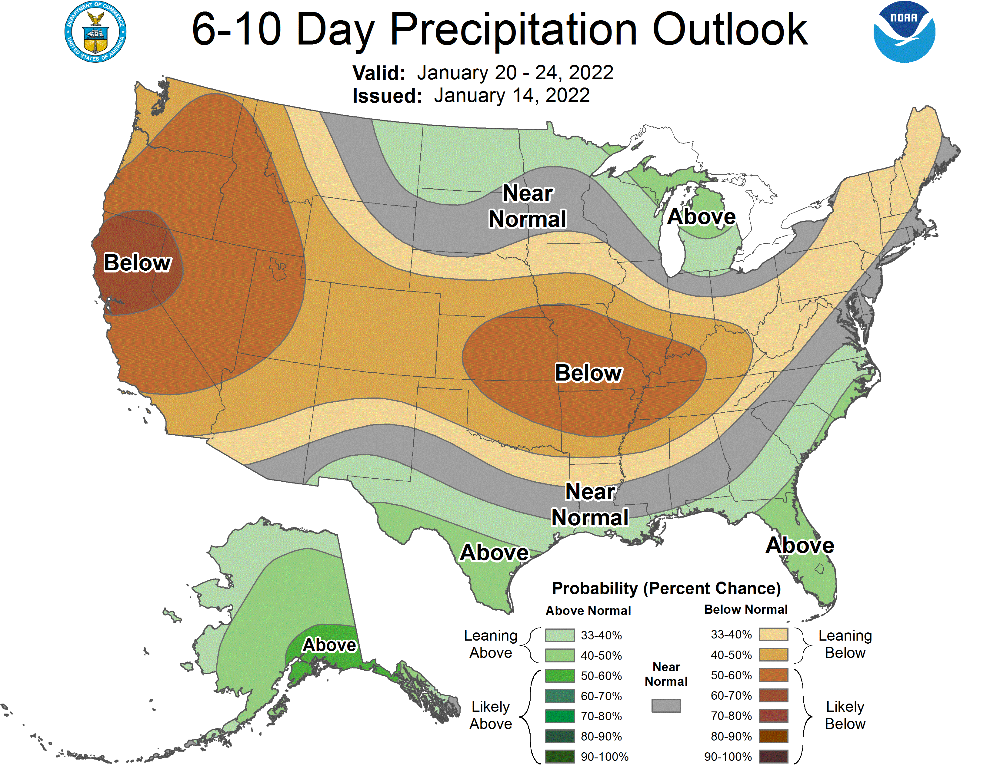
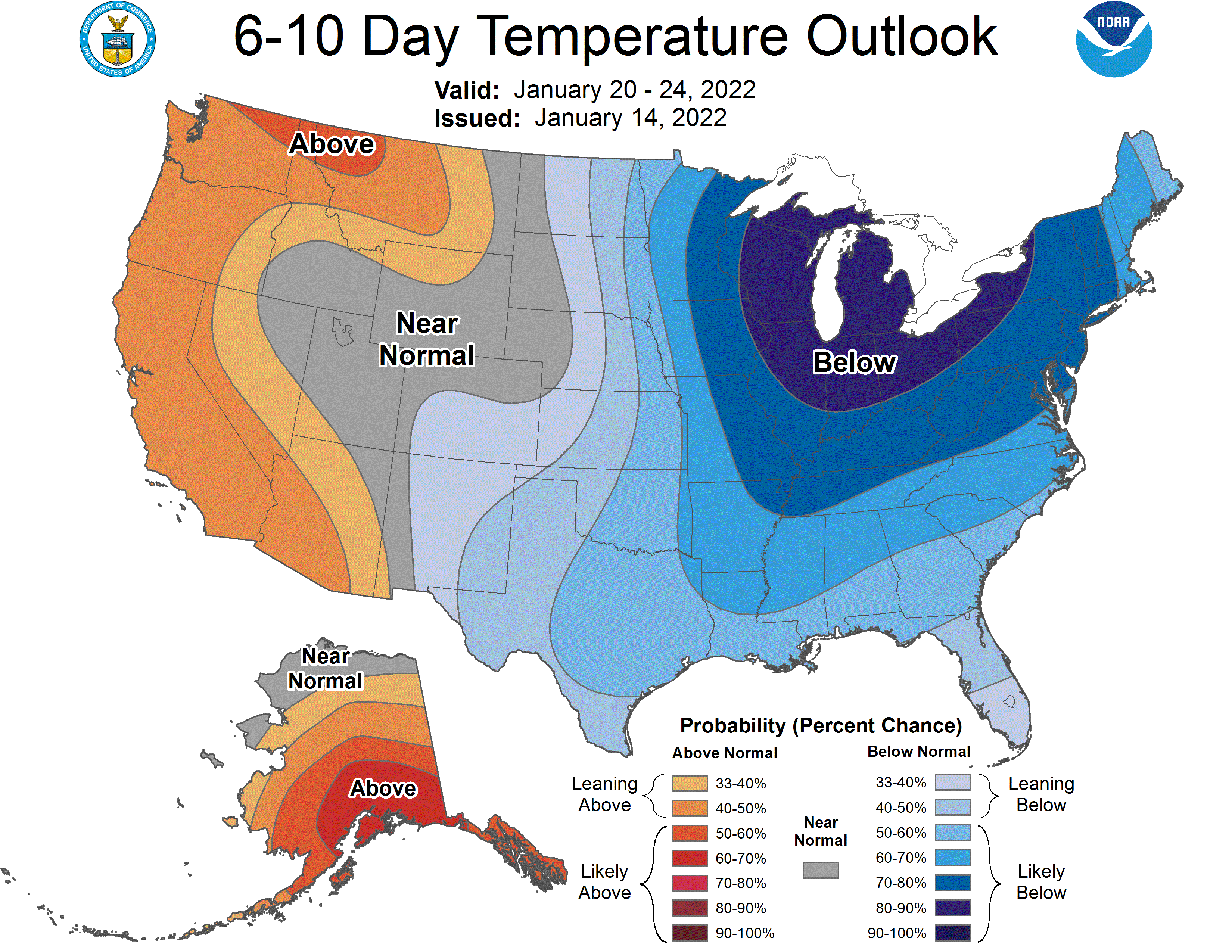
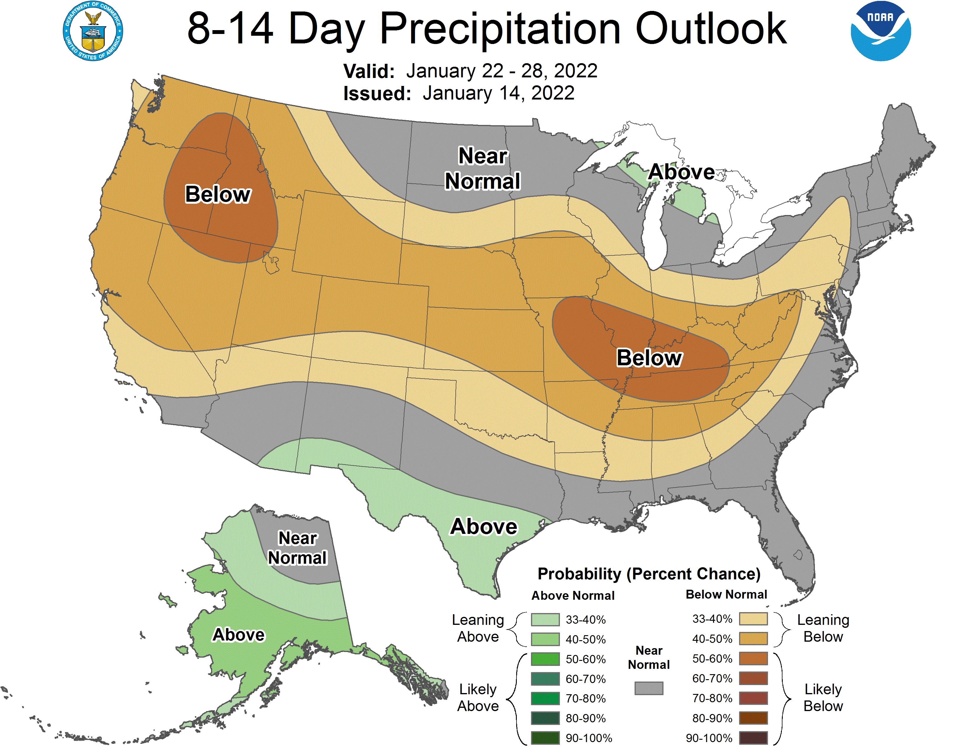
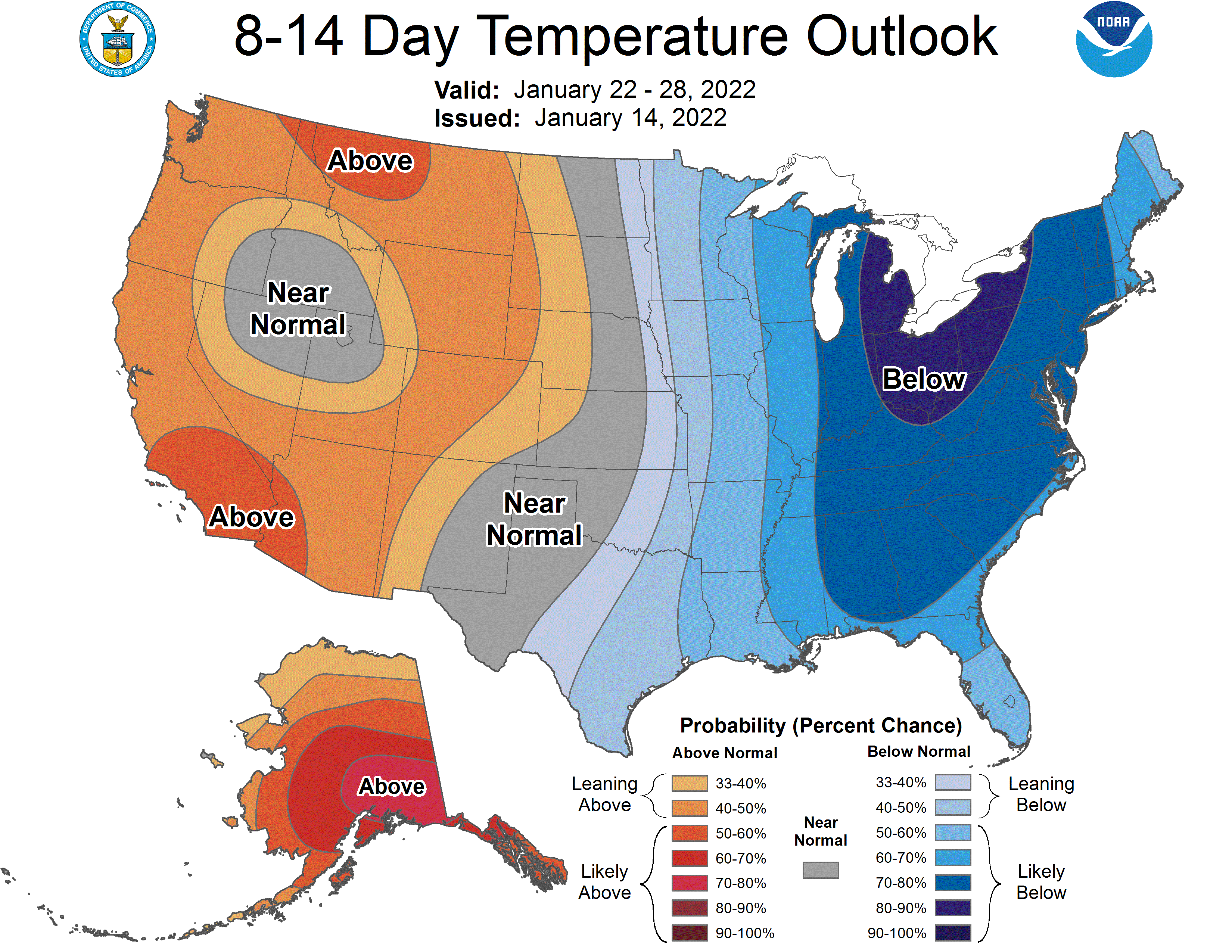
Global ensembles indicate precipitation being below-average in the extended period of the forecast, with well below-average temperatures.