Oct 6 to Oct 12
Mostly dry with cold nights and periods of clear skies
words and images by Bridger-Teton National Forest Avalanche Center
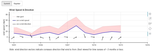
In contrast to the previous three weeks this week was mostly dry. During this week there were two cold fronts, two warm ups and a period of sustained strong winds with gusts as high as 86 miles per hour.
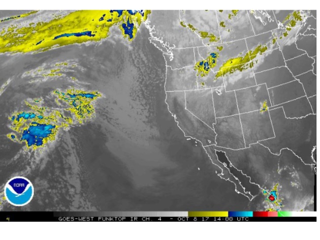
The first front passed through the area on Sunday afternoon October 8. It brought 1 to 4 inches of new snow to the mountains and a trace of snow to the valleys. Temperatures at elevation rose into the 40s ahead of this front and dropped into the teens after the frontal passage. Strong westerly winds developed ahead of the front. These strong winds blew for about 48 hours and peaked on Saturday afternoon and impacted the region for about 30 hours before the frontal passage. Peak wind gusts during this period ranged from 55 to 86 miles per hour. The warm temperatures and strong winds had huge impacts on the old snow surfaces. Extensive melting occurred at the mid elevations. At the upper elevations the old snow experienced a significant melt freeze cycle on all but the highest northerly aspects. The strong winds that veered from the west to the northeast hammered those northern exposures.
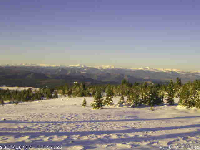
Skies were mostly clear with cold nights and warmer afternoons during the last four days of this week. Temperatures became inverted during this period. A second cold front passed over the region early in the morning on the last day of this week. This system brought a trace of snow to the mountains.
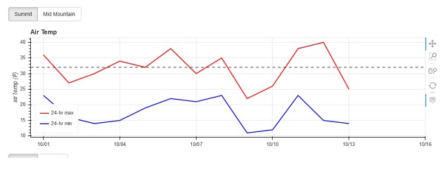
Temperatures at 10,000 feet ranged from the teens to the 40s with two significant warming events. The first warm up occurred during the strong wind episode that preceded the passage of the first cold front. The second occurred during the day on October 10 and 11 when skies were mostly clear, a thermal inversion was in place and daytime highs rose into the upper 30s and 40’s at an elevation of 10,000 feet.
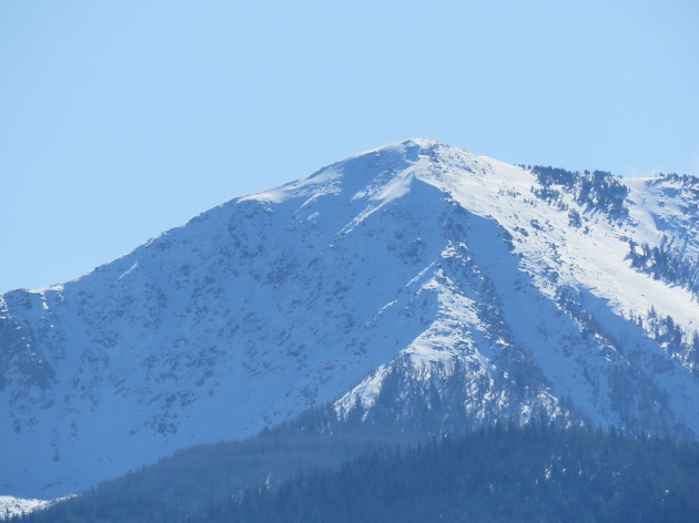
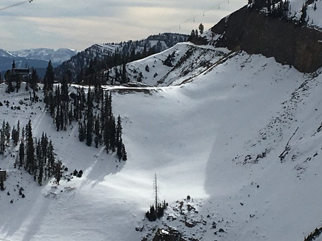
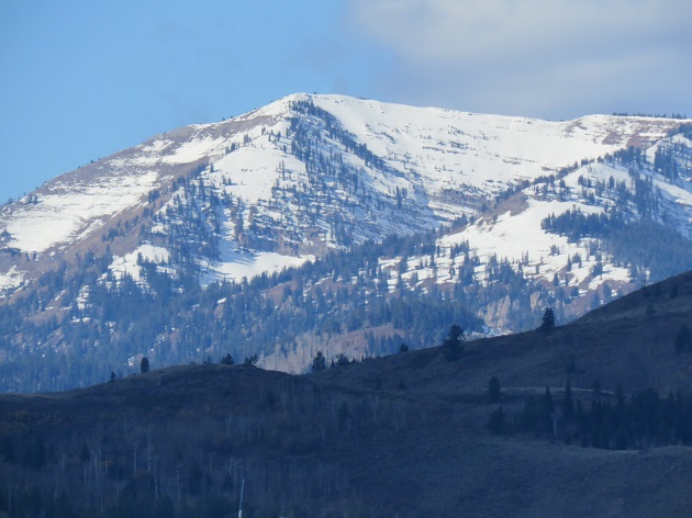
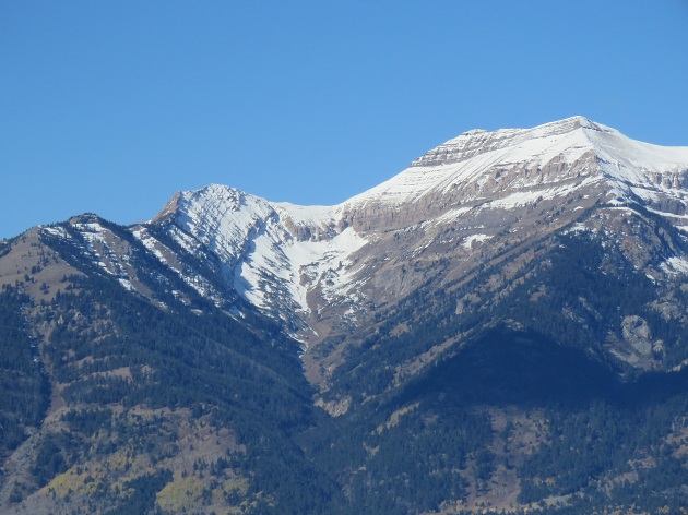
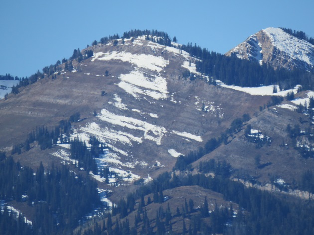
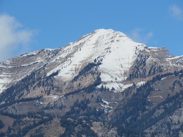
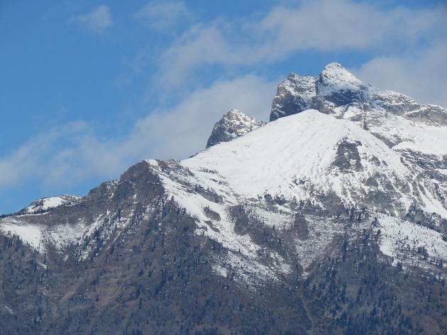
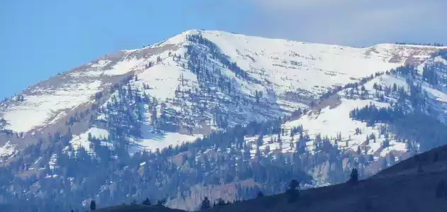
No new avalanche activity was observed or reported to the center during this week. A 12 day storm cycle in September was followed by several clear days with some surface hoar growth at the end of that month. Up to 18 inches of new snow fell during the first three days of October. This week’s weather turned the old snow surfaces into hard crusts on all but the most north facing upper elevation terrain. Wind packed snow surfaces exist on most of those northerly aspects. Some new surface hoar growth may have occurred during the clear nights that occurred later in this week on very sheltered shaded aspects at elevations of around 9,500 feet.
Snow depths at the upper elevations are generally in the range of 10 to 20 inches. Bare slopes extend up to an elevation of 10,000 feet on steep southerly aspects. Snow depths of 6 to 12 inches can be found on lower angle south facing terrain at an elevation of 9,500 feet. At the mid elevations patchy areas of melt-freeze crust extend down to an elevation of around 8,500 feet on steep northerly aspects.