Report from May 16th, 2019
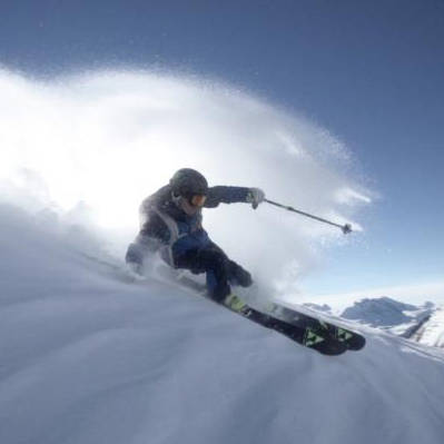
Today was a simply surreal spring powder day at Squaw Valley, CA.
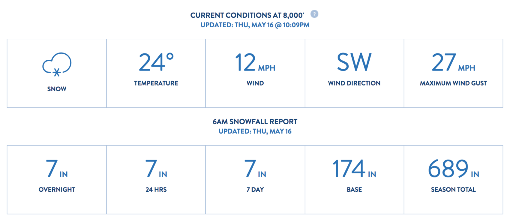
Squaw reported 7″ of new snow this morning.
It skied a lot deeper than that.
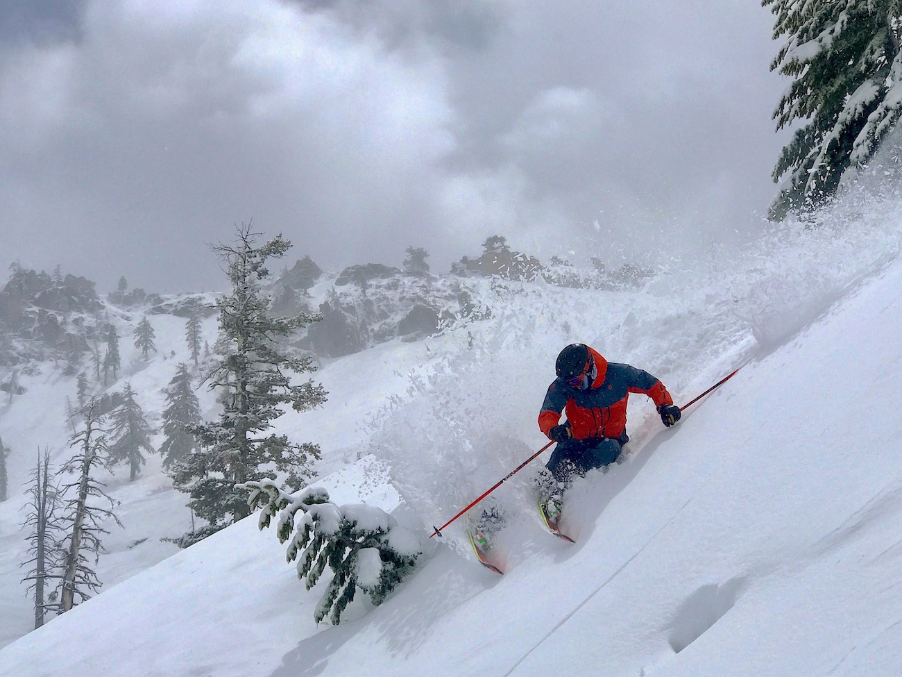
The real magic was the slushy snow under the new snow didn’t freeze hard.
It was still slushy and that made the bottom soft if you hit it.
We just skied KT-22 all day and the snow was splendid.
Surfy, smooth, dense, supportive.
We surfed all over the mountain with KT East being our favorite.
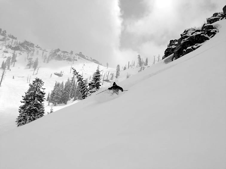
A couple of our friends went up top and said the snow up there was terrific, but not much terrain opened.
It appears that Squaw got Shirley Lake open for a short bit before having to close again due to high winds.
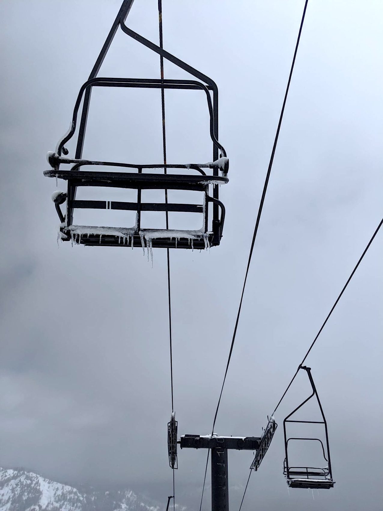
The weather was nutty today: sunny, then cloudy, then really windy, then whiteout, then sunny again.
Oh, and I don’t think I’ve ever had so much fun on a May powder day anywhere.
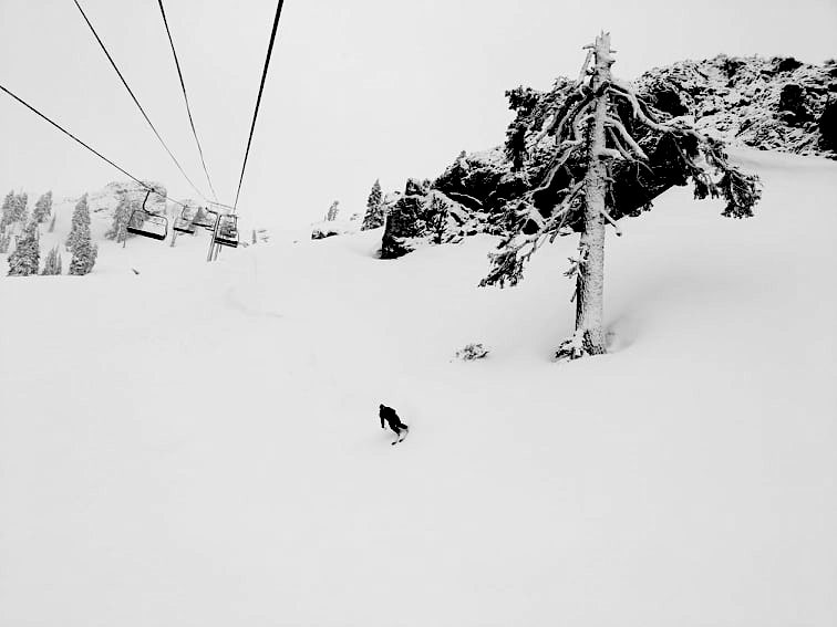
KT powder day in May?
Badass.
NOAA is forecasting up to 16″ of snow for Squaw tonight, then another storm or two starting Monday.
...WINTER WEATHER ADVISORY IN EFFECT FROM 6 PM THIS EVENING TO
10 AM PDT FRIDAY...

* WHAT...Period of heavy snow along Sierra passes. Total
  accumulations of 5 to 10 inches above 7000 feet with locally
  higher amounts up to 16 inches possible above 8000 feet.
  Accumulations of 1 to 3 inches possible at lake level with
  amounts up to 5 inches possible along and west of highway 89.
  Ridge winds gusting to 85 mph.
- NOAA, Reno NV today
NOAA doesn’t see any end to this stormy pattern through Memorial Day Weekend.
...No Signs of Summer Through Memorial Weekend...
...Cold, Windy, and Wet Storms Continue into Next Week...
- NOAA, Reno NV today
SNOW NUMBERS:
FORECAST:
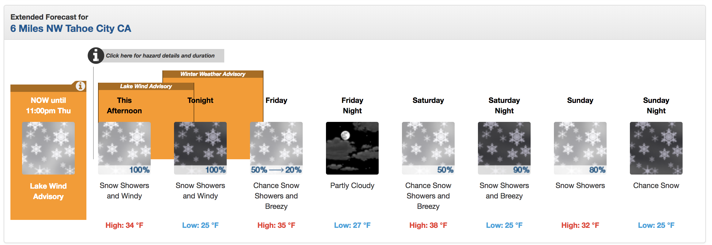
Winter Weather Advisory
URGENT - WINTER WEATHER MESSAGE
National Weather Service Reno NV
255 PM PDT Thu May 16 2019

Greater Lake Tahoe Area-
Including the cities of South Lake Tahoe, Truckee, Stateline,
and Incline Village

...WINTER WEATHER ADVISORY IN EFFECT FROM 6 PM THIS EVENING TO
10 AM PDT FRIDAY...

* WHAT...Period of heavy snow along Sierra passes. Total
  accumulations of 5 to 10 inches above 7000 feet with locally
  higher amounts up to 16 inches possible above 8000 feet.
  Accumulations of 1 to 3 inches possible at lake level with
  amounts up to 5 inches possible along and west of highway 89.
  Ridge winds gusting to 85 mph.

* WHERE...Greater Lake Tahoe Area.

* WHEN...From 6 PM this evening to 10 AM PDT Friday.

* ADDITIONAL DETAILS...Plan on slippery road conditions. The
  hazardous conditions could impact the morning or evening
  commute.