Report from February 7th, 2019.
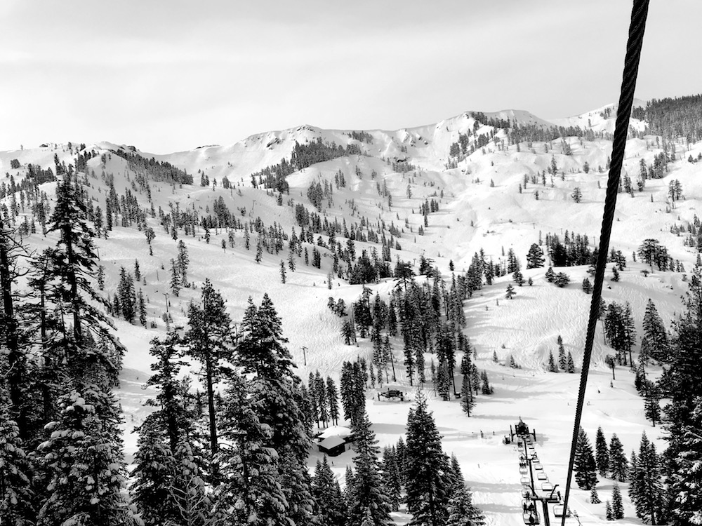
Squaw Valley, CA is all time right now.
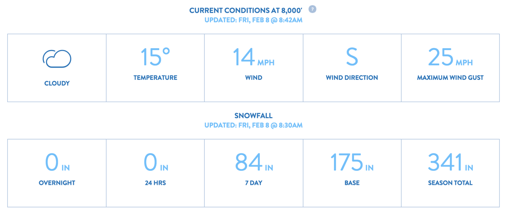
It’s snowed at least 81″ since Silverado last opened.
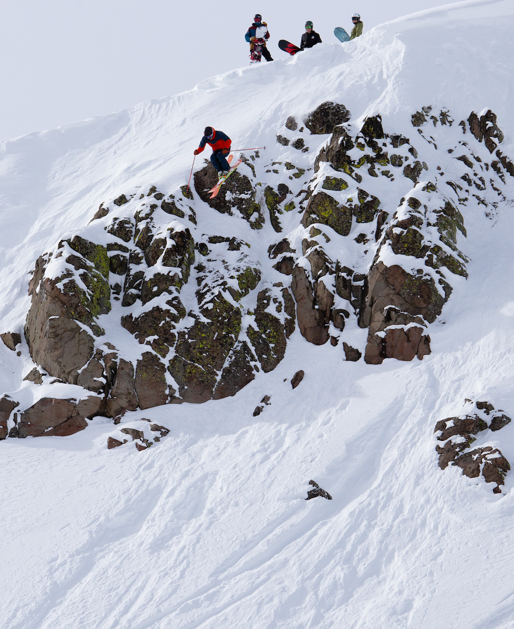
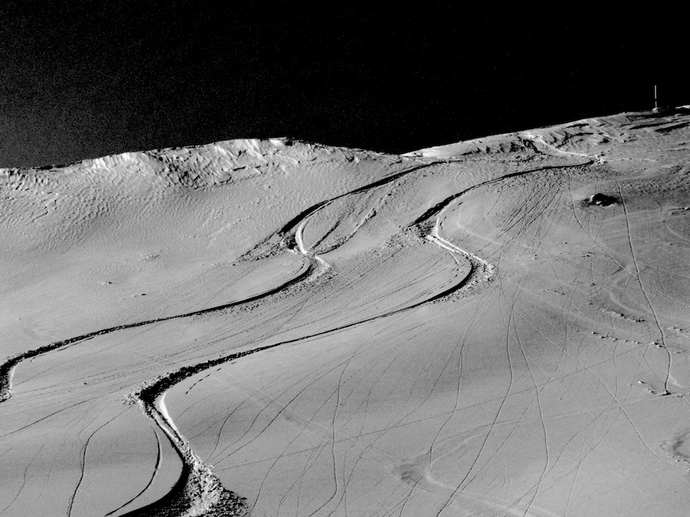
We saw things straight out of a ski movie today…
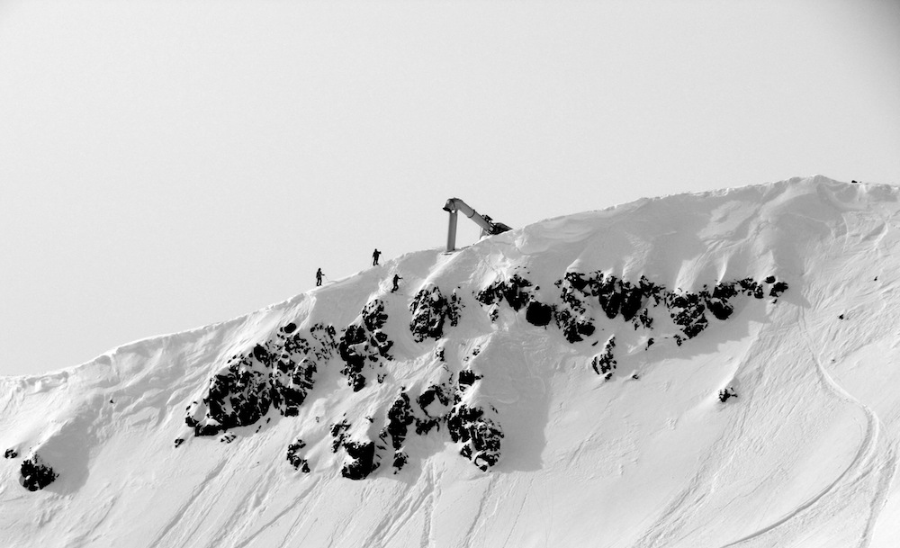
Flips and spins off Goodwills on Granite Chief Peak.
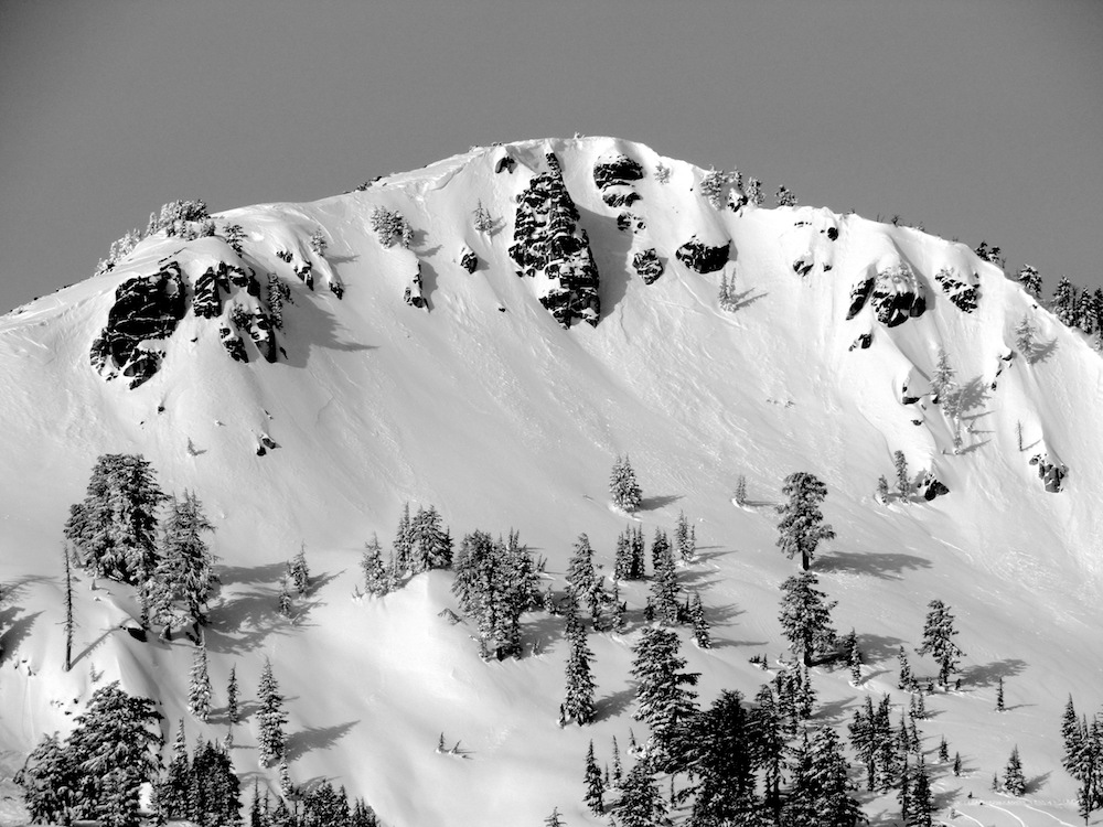
Flips and spins off the top of Mainline Pocket.
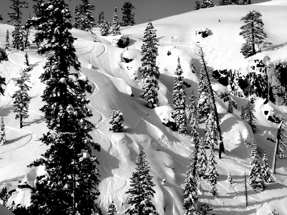
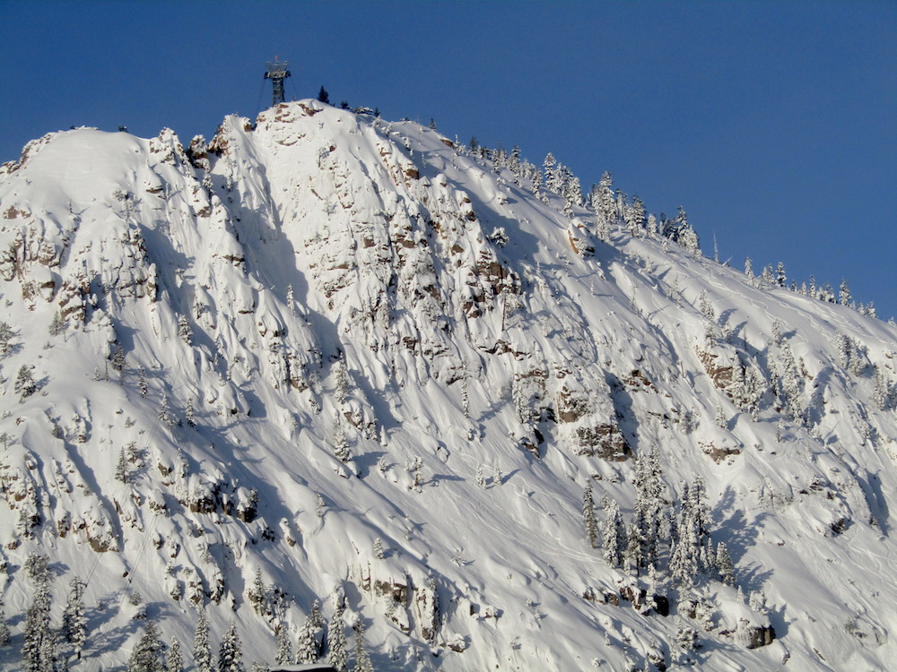
Silverado, Granite Chief Peak, Mainline Pocket, and The Palisades were 100% fresh after the 81″ storm.
Silverado was amazing.
Granite Chief Peak and phenomenal.
Mainline Pocket was a showdown.
We didn’t get up to the Palisades, but we’re confident it was good.
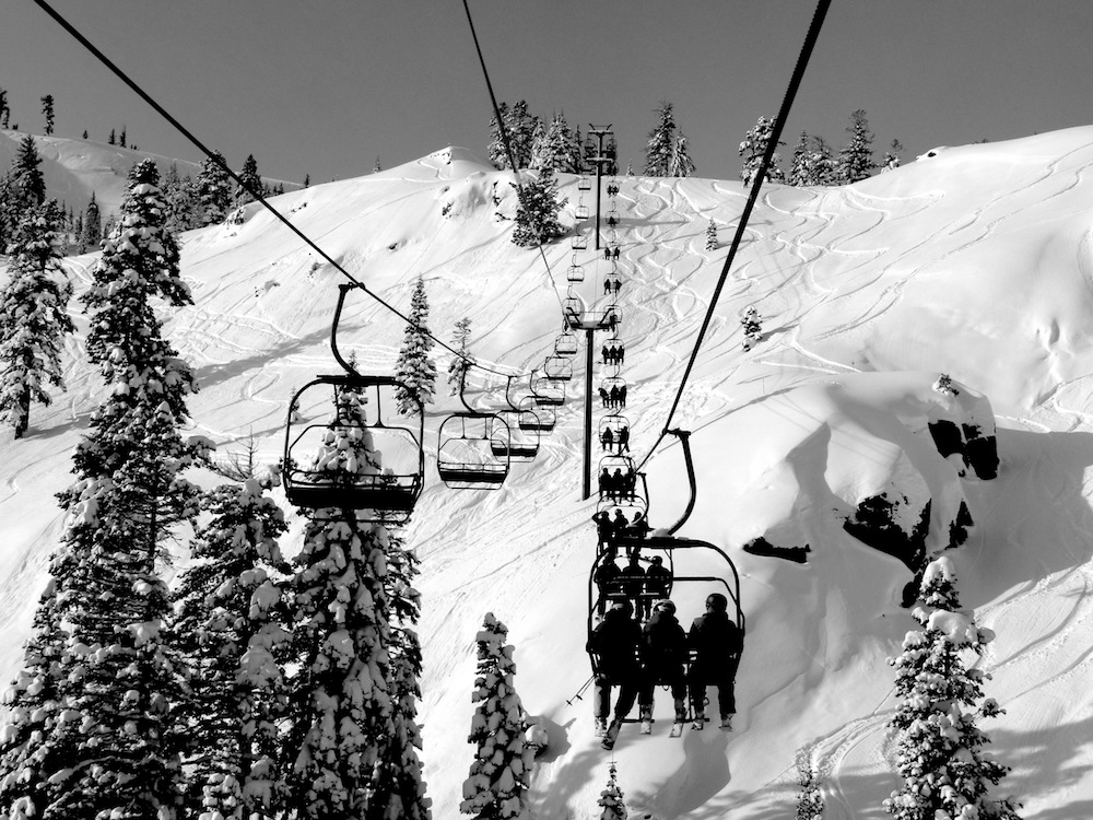
After a few laps, we cruised over to Alpine and did a run in the lift accessed backcountry that was deep.
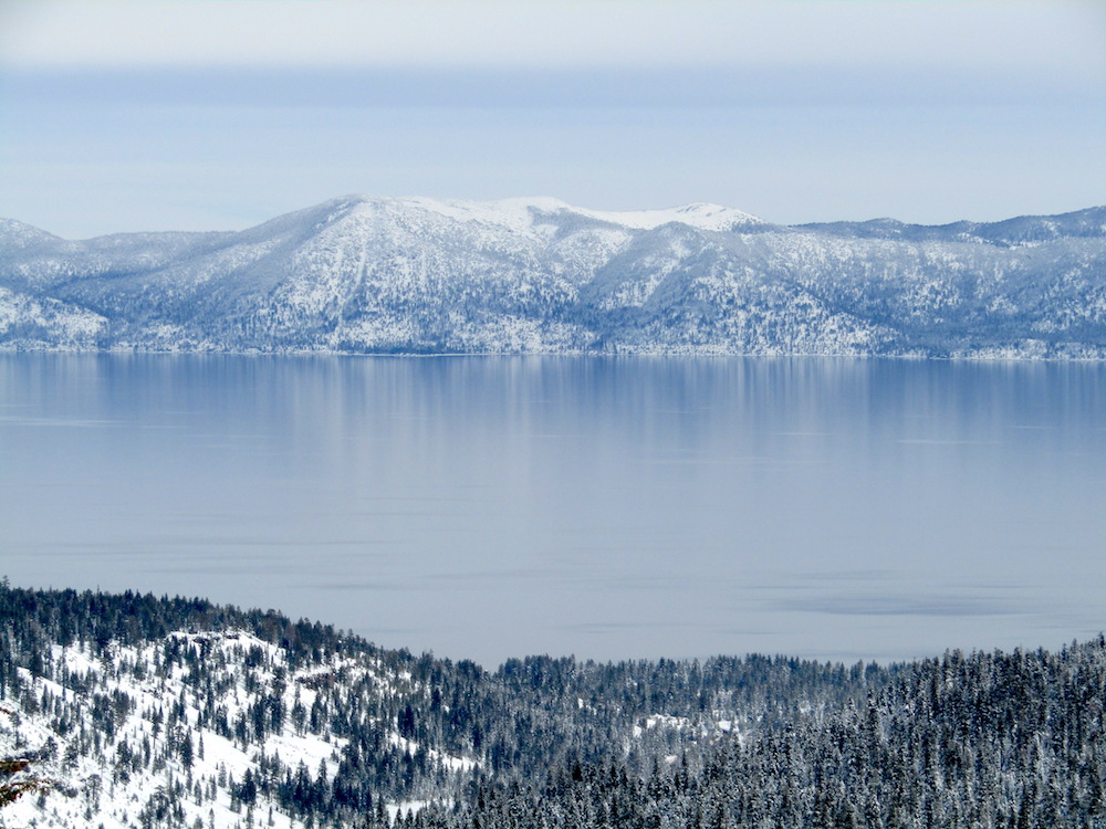
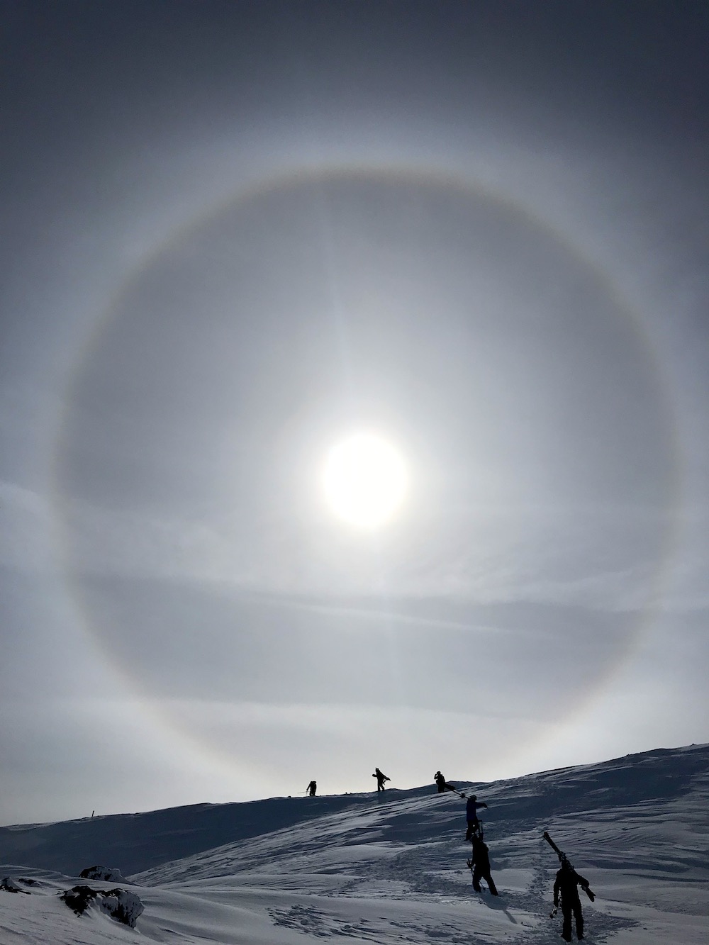
Today was a stellar day at Squaw Alpine.
Squaw Alpine has seen 341″ of snow already this season.
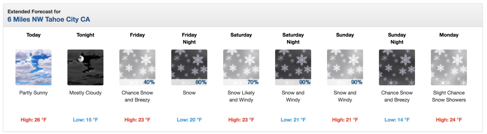
NOAA has issued a Winter Storm Warning for this weekend that is calling for 2-4 feet of snow above 7,000′.
* WHAT...Heavy snow expected. Total snow accumulations of 12 to 24
  inches with the highest totals west of Highway 89, except 2 to 4
  feet above 7000 feet expected. Winds gusting as high as 45 mph
  with ridge winds gusting as high as 95 mph.
- NOAA Reno, NV today
SNOW NUMBERS:
FORECAST:
Winter Storm Warning for Lake Tahoe, CA/NV
URGENT - WINTER WEATHER MESSAGE
National Weather Service Reno NV
130 PM PST Thu Feb 7 2019

Greater Lake Tahoe Area-
Including the cities of South Lake Tahoe, Truckee, Stateline,
and Incline Village
130 PM PST Thu Feb 7 2019

...WINTER STORM WARNING IN EFFECT FROM 4 PM FRIDAY TO 10 PM PST
SUNDAY...

* WHAT...Heavy snow expected. Total snow accumulations of 12 to 24
  inches with the highest totals west of Highway 89, except 2 to 4
  feet above 7000 feet expected. Winds gusting as high as 45 mph
  with ridge winds gusting as high as 95 mph.

* WHERE...Greater Lake Tahoe Area.

* WHEN...From 4 PM Friday to 10 PM PST Sunday. Heaviest snow
  expected late Friday night and again Saturday afternoon through
  Sunday morning.

* ADDITIONAL DETAILS...Travel could be very difficult to
  impossible. The hazardous conditions could impact the ski
  commute Friday evening and again Sunday evening. Very strong
  winds could cause extensive tree damage.
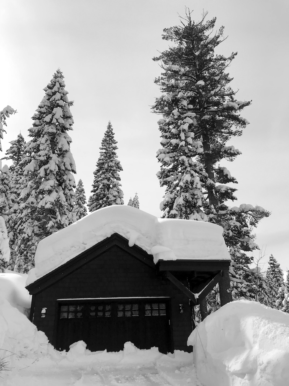
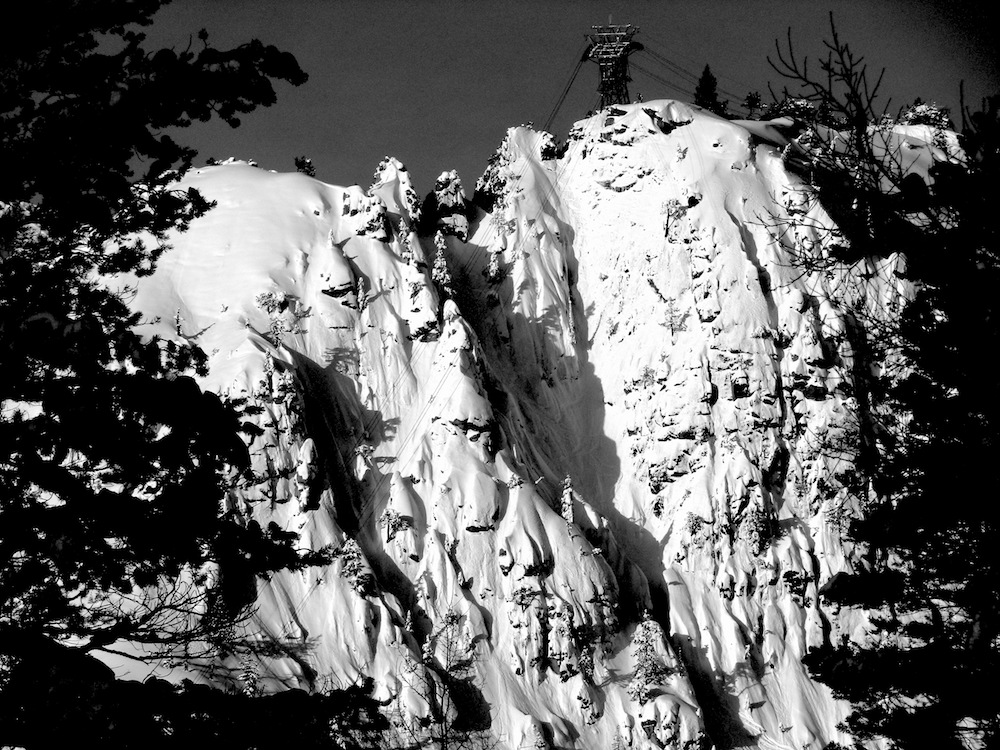
PHOTOS: