
Did you ever think to hike one of these iconic trails – Pacific Crest Trail or Appalachian or The Great Divide Trail? They all are quite challenging and long! The longest of them is PCT, which stretches for more that 2,600 miles along West Coast of US! Well, some of you probably has done it already. But can you imagine hiking 15,000 miles?
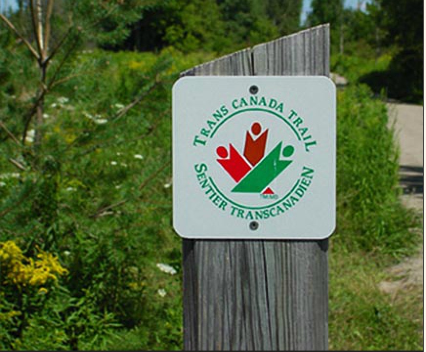
The Trans Canada Trail, now being promoted as The Great Trail, is the world’s longest network of recreational trails. It began construction in 1992. When fully connected, the Trail will stretch 24,000 km (15,000 miles) from the Atlantic to the Pacific to the Arctic oceans! Just over 20,000 km (12,000 miles) of the trail have been completed as of May 2016 and are usable, making the entire project approximately 86% complete.

Two hundred forty gaps totaling 6,200 km (3,900 miles) must be bridged in order to achieve a fully connected trail. The Trans Canada Trail has given itself until its 25th anniversary and Canada’s 150th anniversary in 2017 to reach this objective.
Considerable parts of the Trail are repurposed defunct rail lines donated to provincial governments by CP and CN rail rebuilt as walking trails. As such, much of the Trans Canada Trail development emulated the successful Rails-to-Trails initiative in the United States, whereby these transportation corridors are “rail banked” as recreational trails, allowing conversion back to rail should future need arise.
Newfoundland & Labrador, is home to Kilometre Zero East of the Trans Canada Trail in St. John’s. It was the first territory to achieve full connection of its section of The Great Trail.
The longest section of the trail goes through Ontario province. TCT in Ontario connects approximately 150 communities through a collection of linked multi use trails; giving preference to human-powered trail use. In Ontario many of the trails are greenway routes reserved for walking, hiking, running, and skiing; with cycling routes, paddling routes, and trail connections making up Ontario’s section of the coast to coast to coast trail network.

Do you know that 26% of the trail goes on water?! So you can paddle along the trail.
The water route is estimated to be 900+ km and is divided into five sections, each with a different theme and name:
- Rushing River – Eagle/Dogtooth Trail (256 km: Kenora through 2 Provincial Parks to Dryden)
- Maukinak Trail (212 km: Dryden through Turtle River Provincial Park to Atikokan)
- Quetico Trail ( 208 km: Atikokan through Quetico Provincial Park to Granite River)
- Omimi Trail (129 km: Granite River through La Verendrye and Pigeon River Provincial Parks to Neebing)
- Anishnabe Trail (107 km: Falcon River through Shoal Lake #40 to Kenora)

You can enjoy the following activities while on the trail: walking/hiking, cycling, paddling, horseback riding, cross-country skiing and snowmobiling. More details about the project and trail map can be found here.
One thought on “The Great Trail – World’s Longest Trail – Will Be Completed In 2017”