Report from April 26, 2023
Yesterday, we ascended from the White Pine Trailhead in Little Cottonwood Canyon right up and into the North Couloir of the 11,331′ Pfeifferhorn.
This trip is pretty straightforward.
You walk up a long flat valley until you reach a plateau at the bottom of the Pfeifferhorn.
Spot the North Couloir and boot right up it.
This was a 4-hour hike for only about 23 turns, ha!
11,331′ Pfeifferhorn, UT – The North Couloir Details:
- Summit (actually a subpeak of the Pfefferhorn): 10,800′
- Car: 7,600′
- Vertical From Car: 3,200′
- Vertical skied: 700′ in North Couloir
- Max Pitch: 50º
- Avg Pitch: ?
- Aspect: North
- Distance: 9.2-miles round trip
- Time From Car to Top of North Chute: 4 hours
- Car to Car Time: 6 hours & 40 minutes
- Recommended Equipment: Crampons, Ice Axe x2, Skins
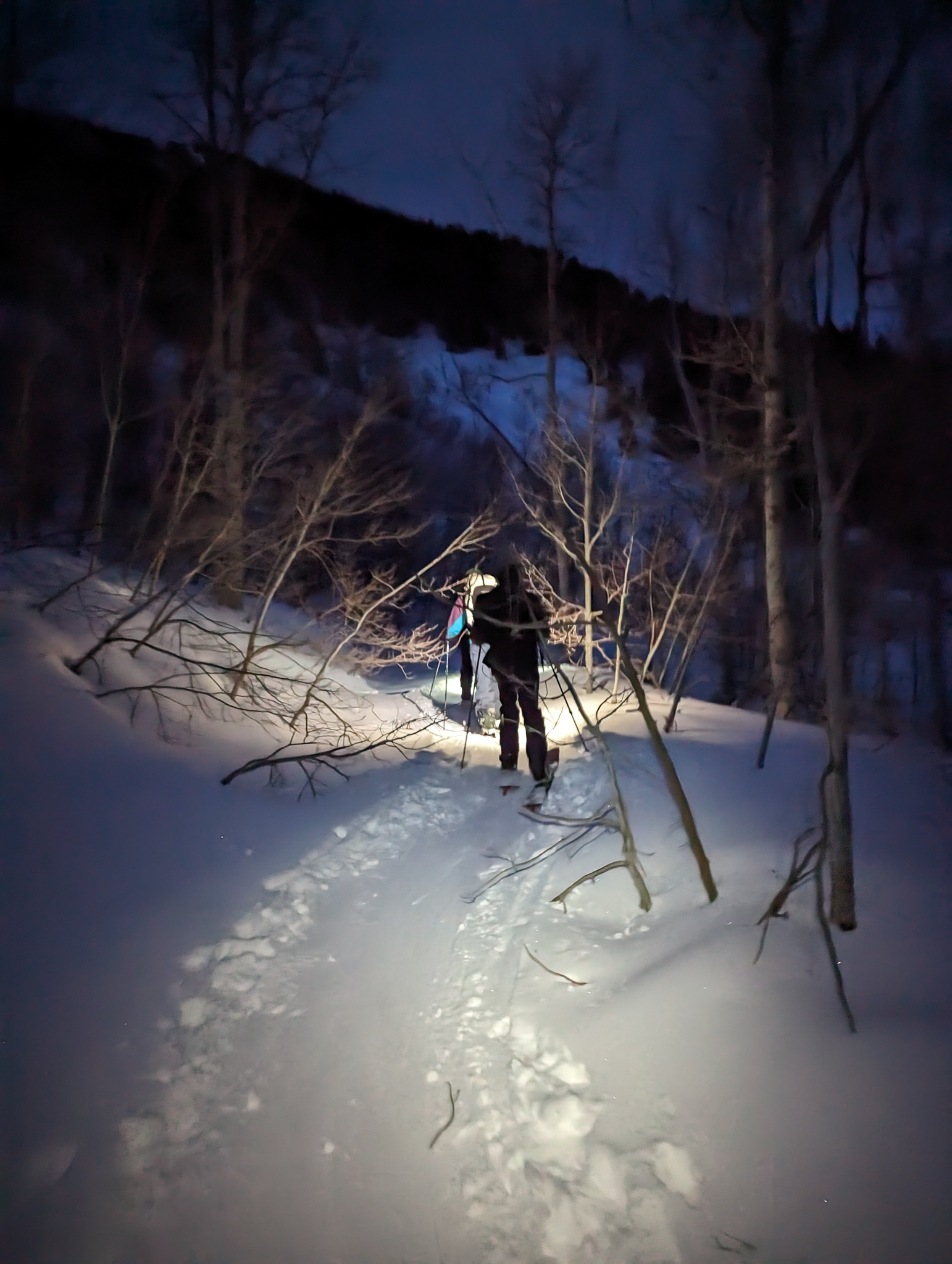
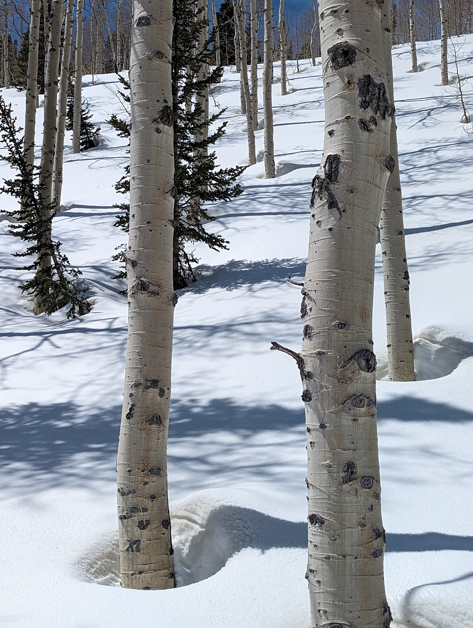
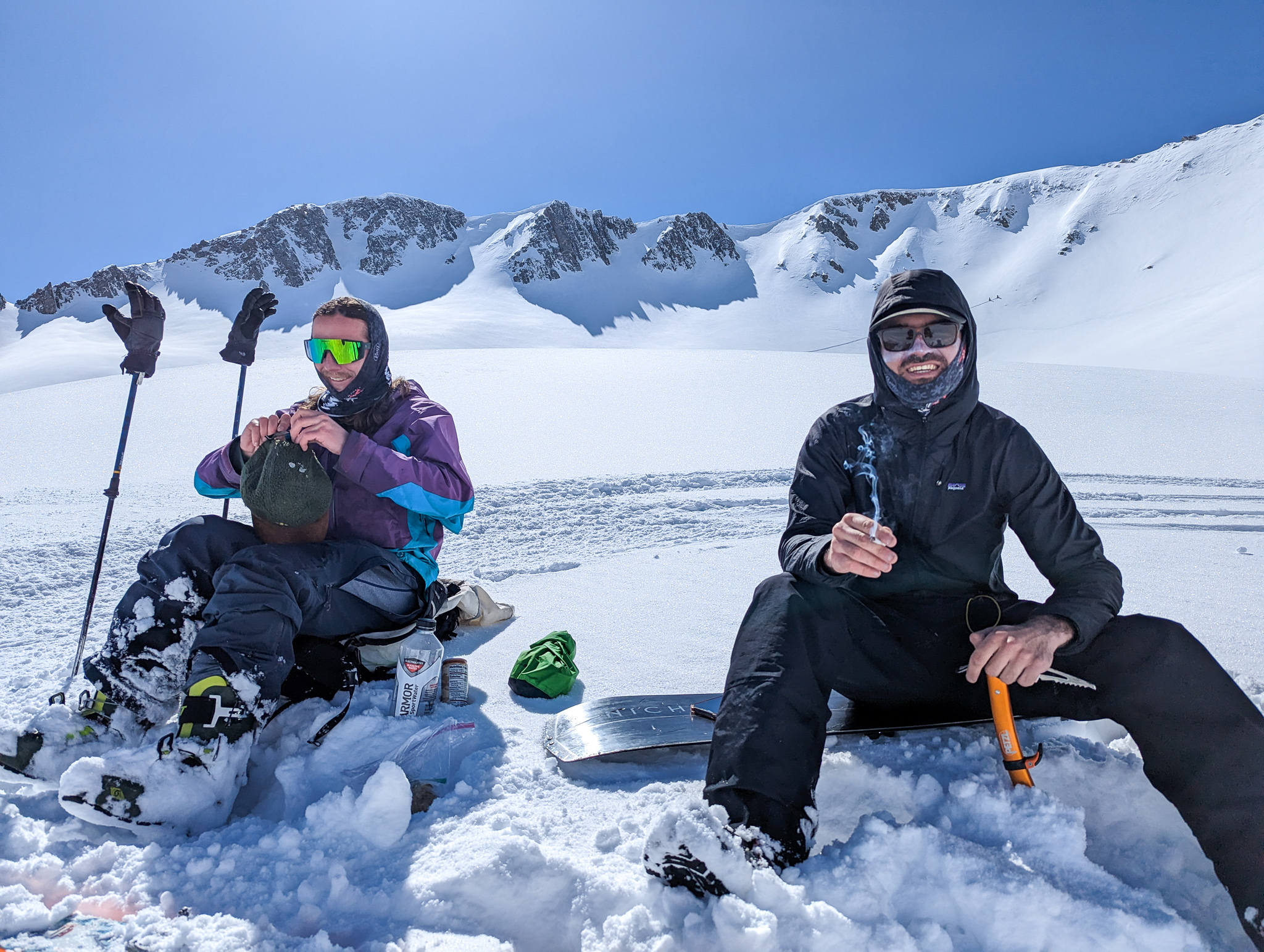
We started hiking at 5 am.
The first light came quickly and we didn’t need the headlamps long.
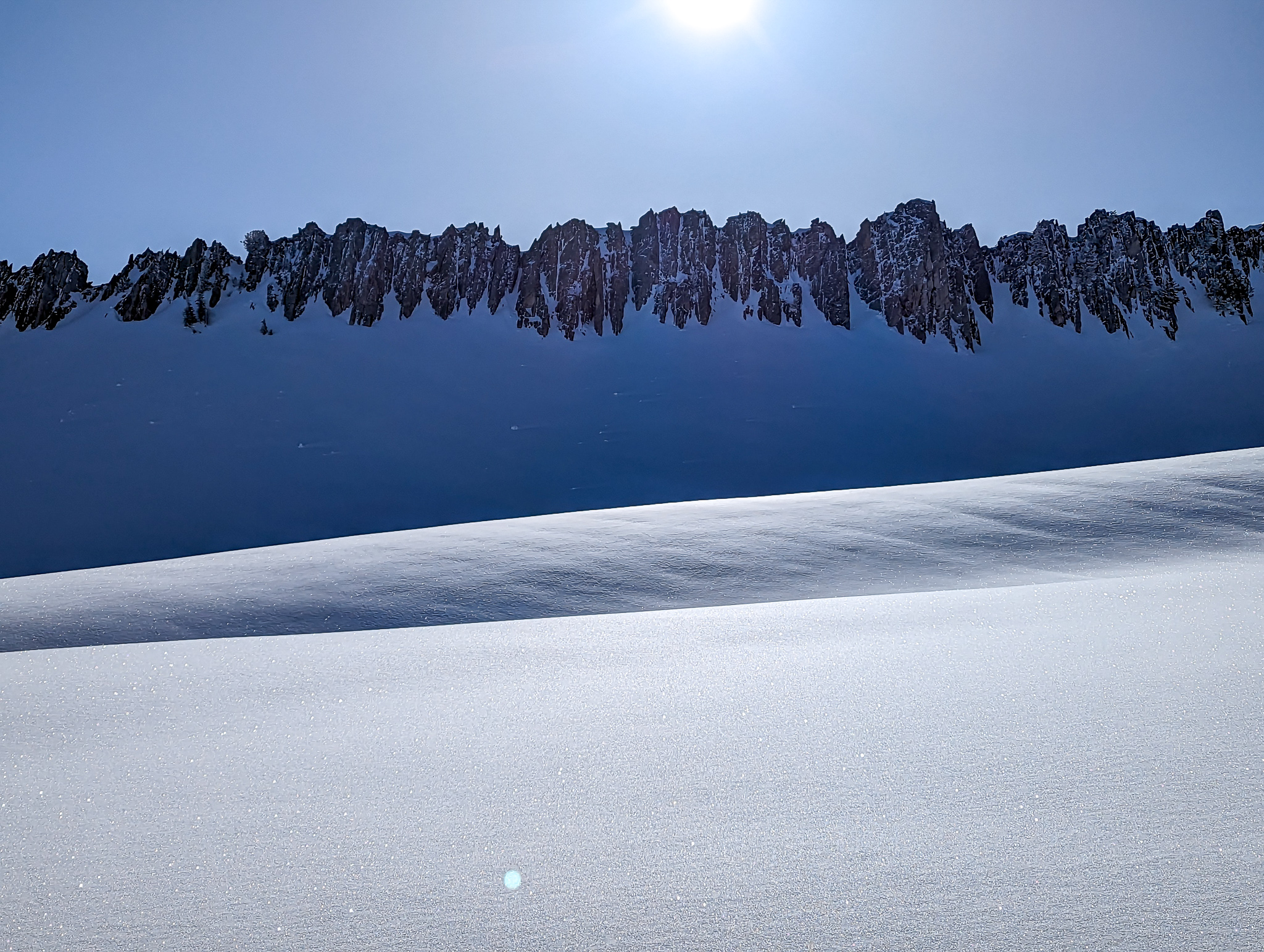
The skin track is a long, flat, slog that doesn’t even require heel risers.
You just have to keep your head down.
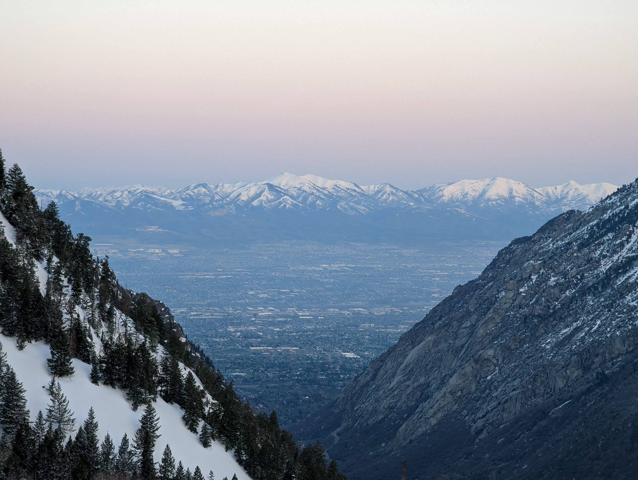
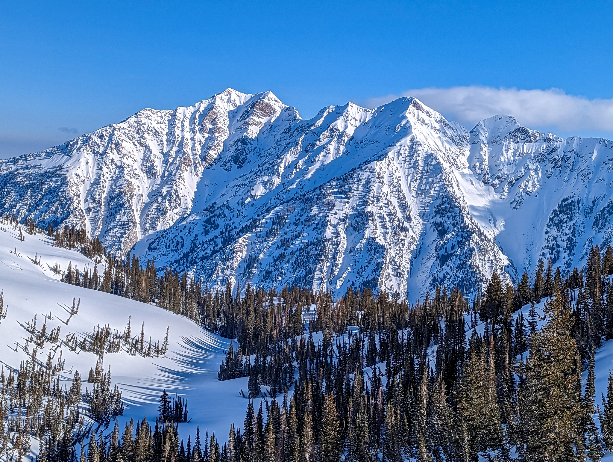
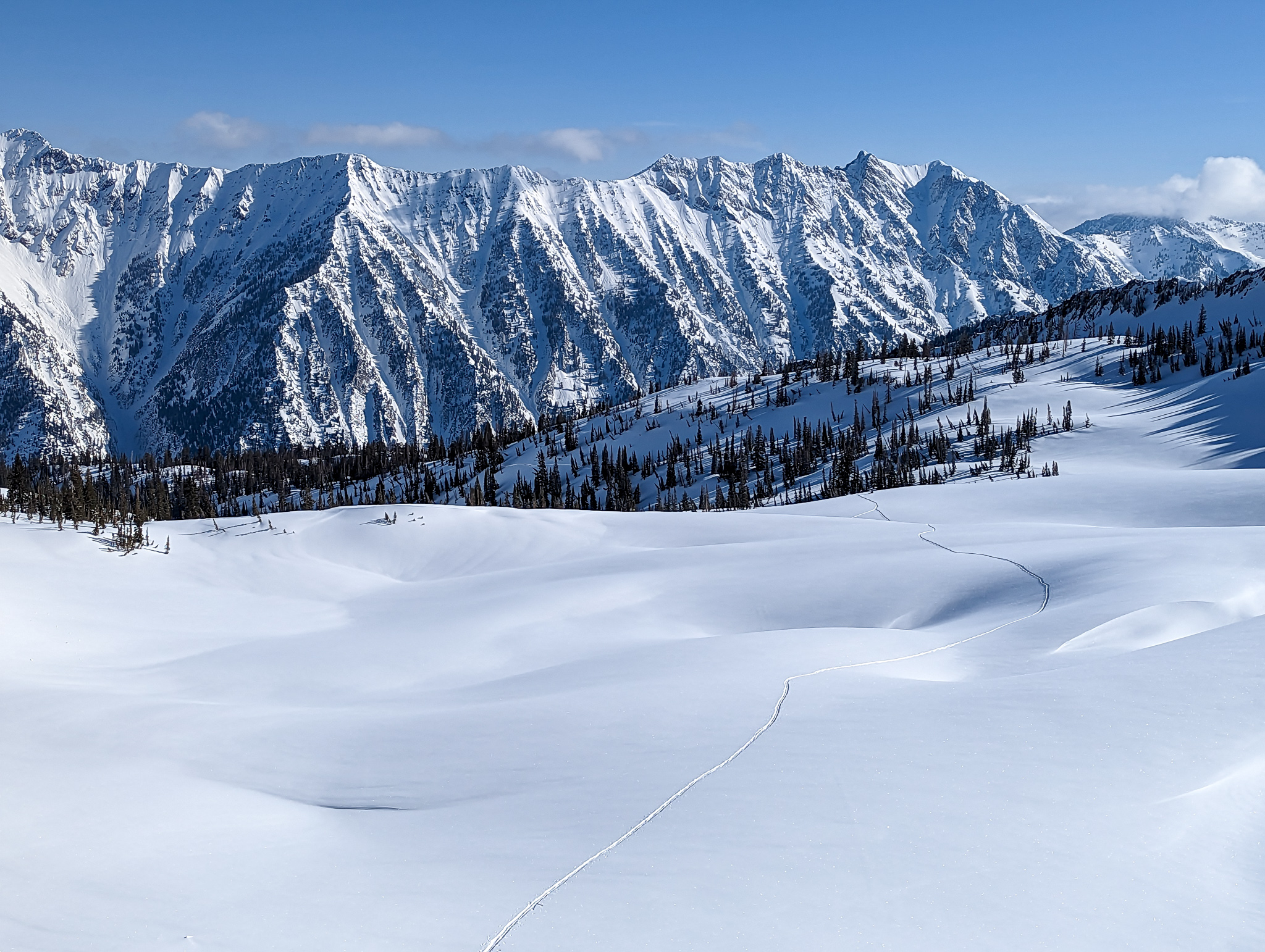
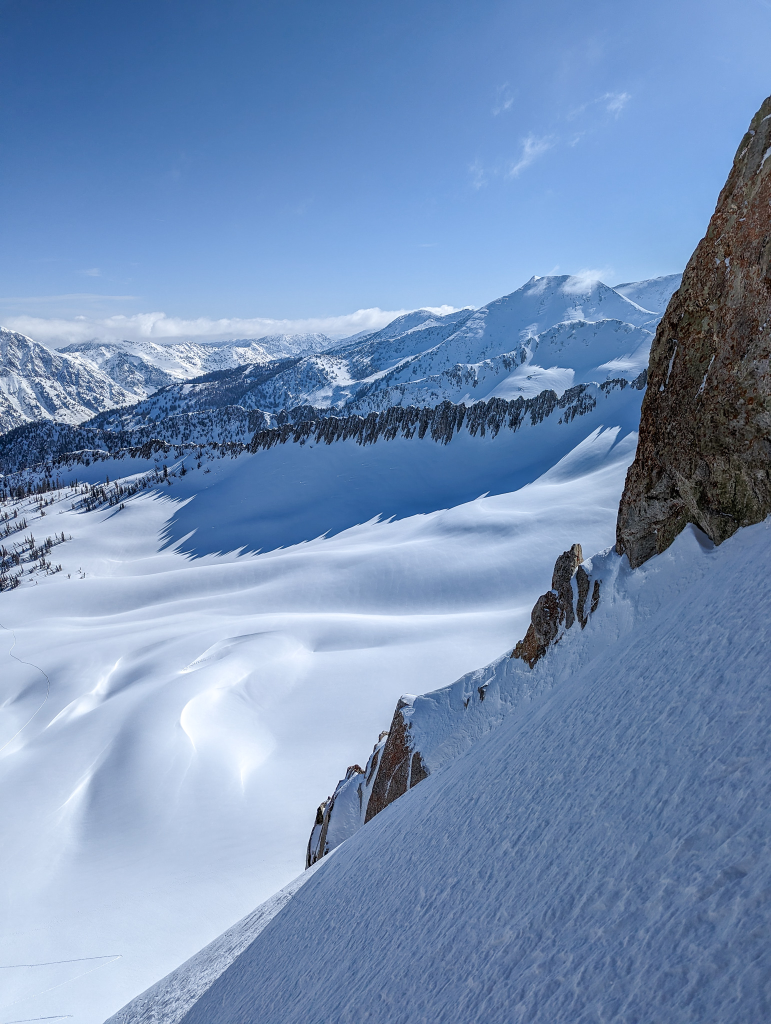
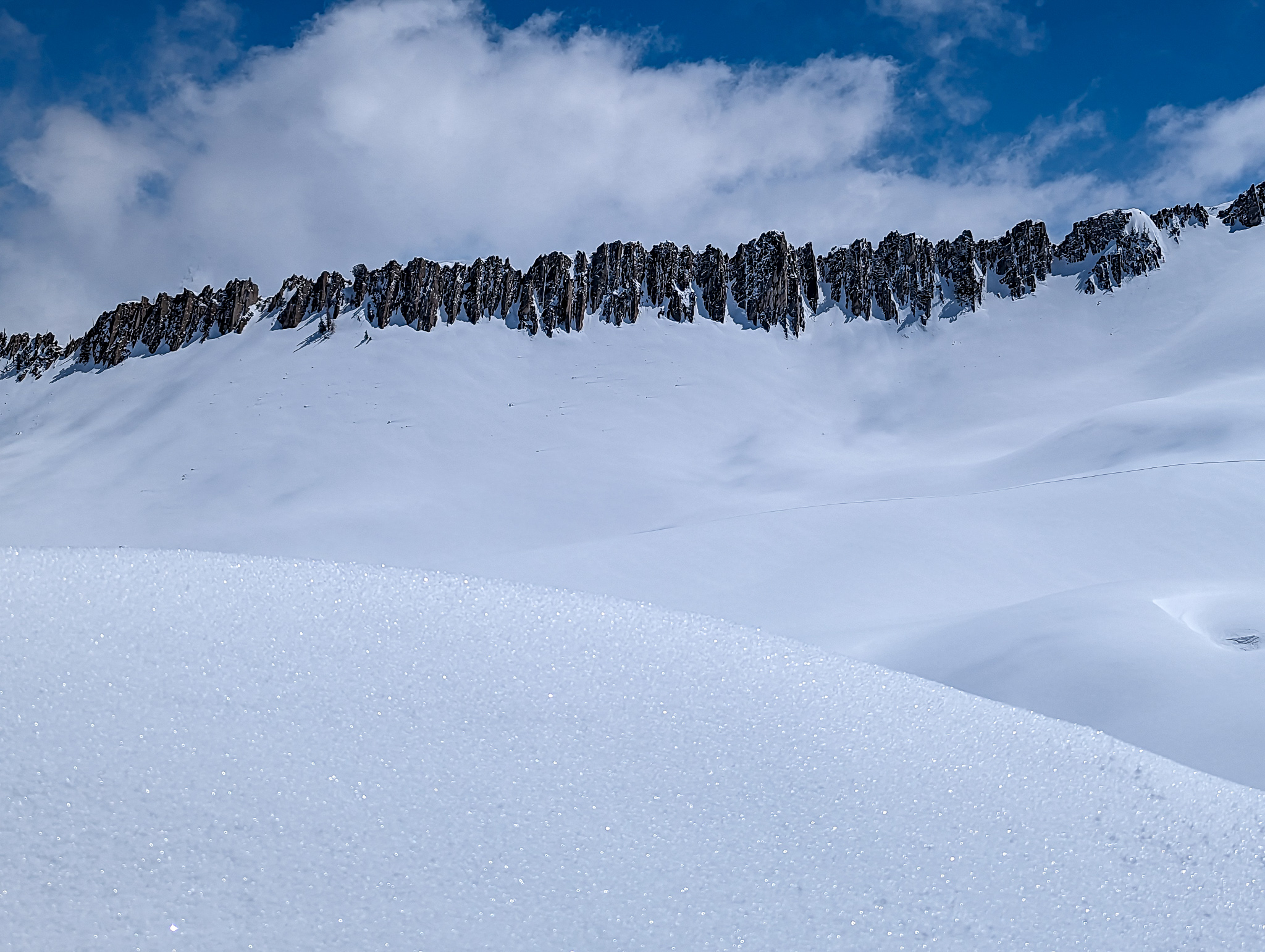
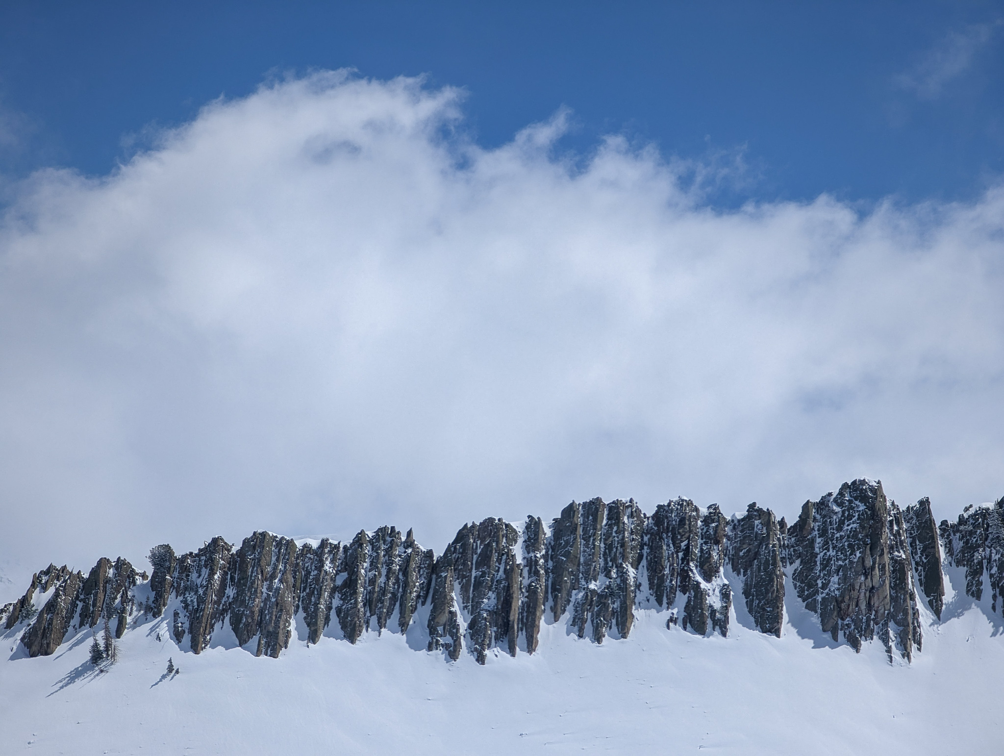
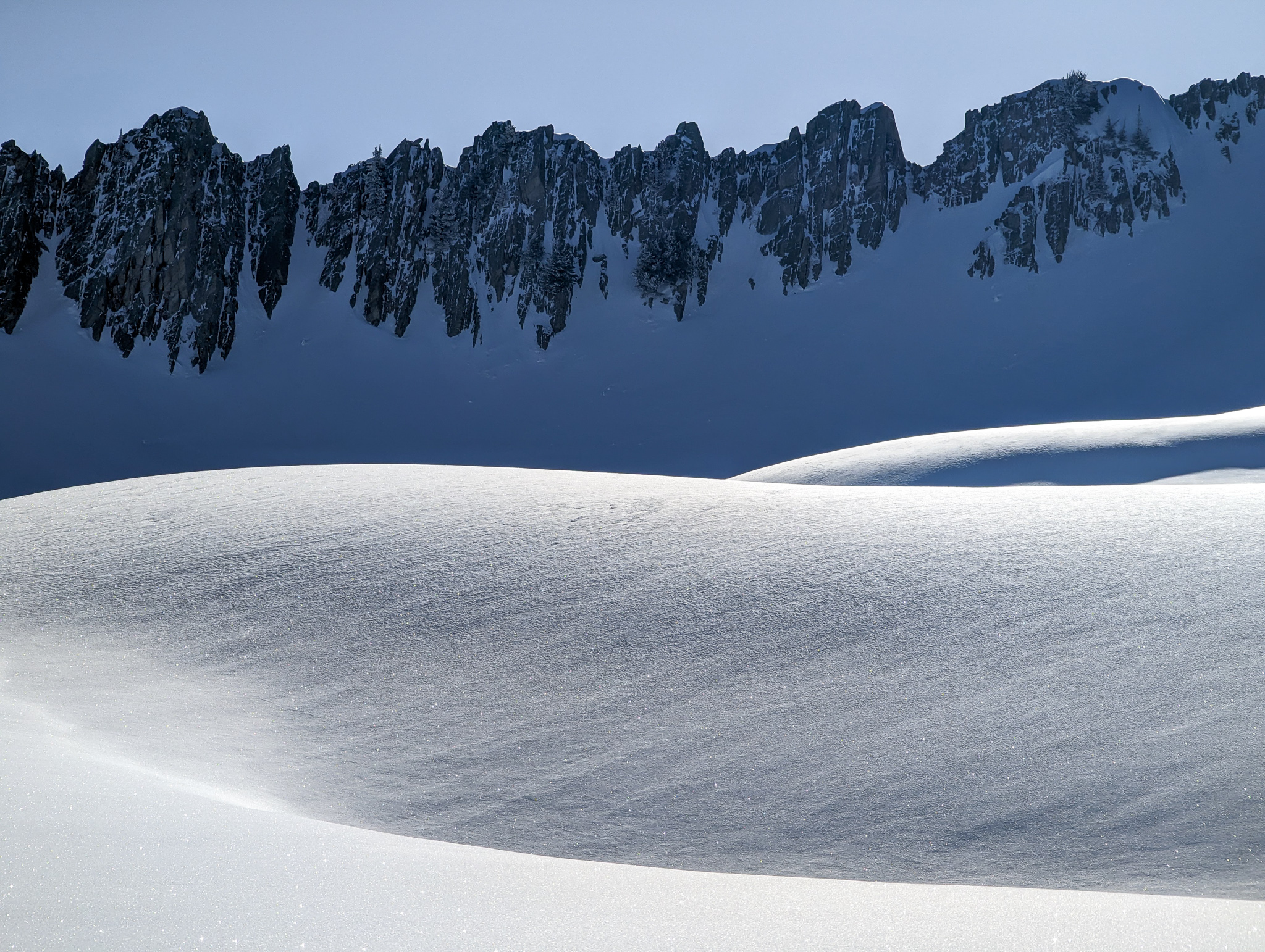
There’s a terrific view to the north of the copious south-facing chutes that drip off the Twin Peaks/Mt. Superior Massif.
And that’s about it…
It’s a slog.
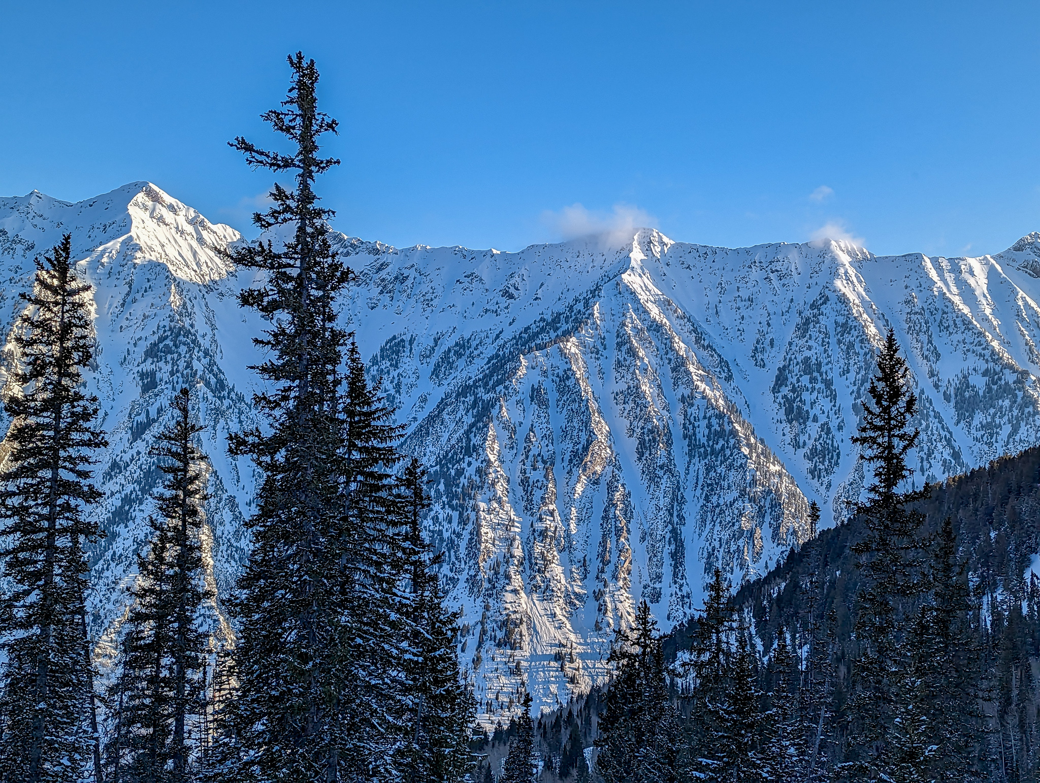
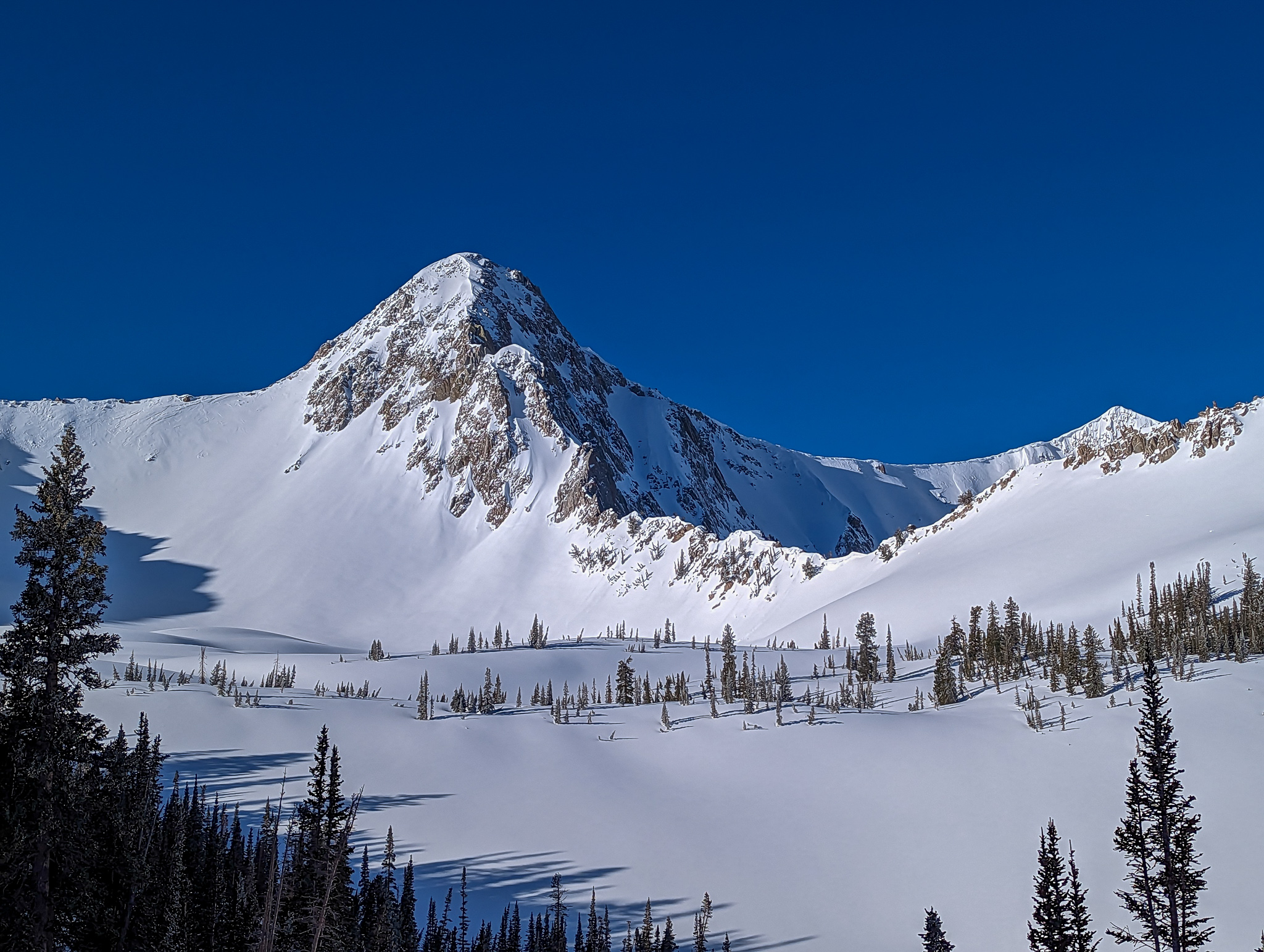
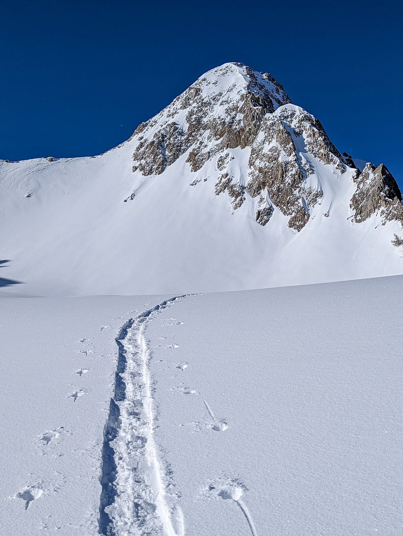
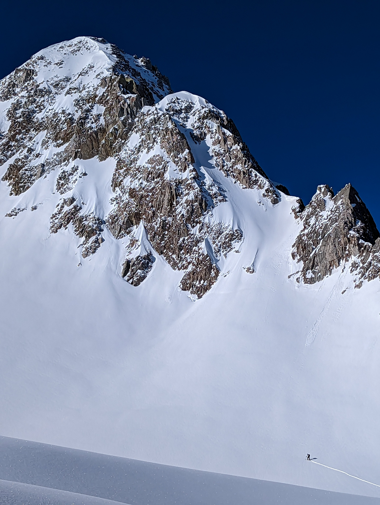
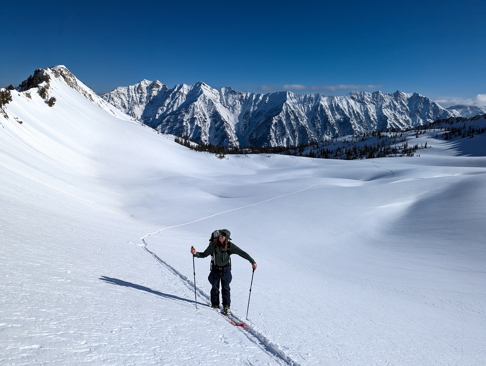
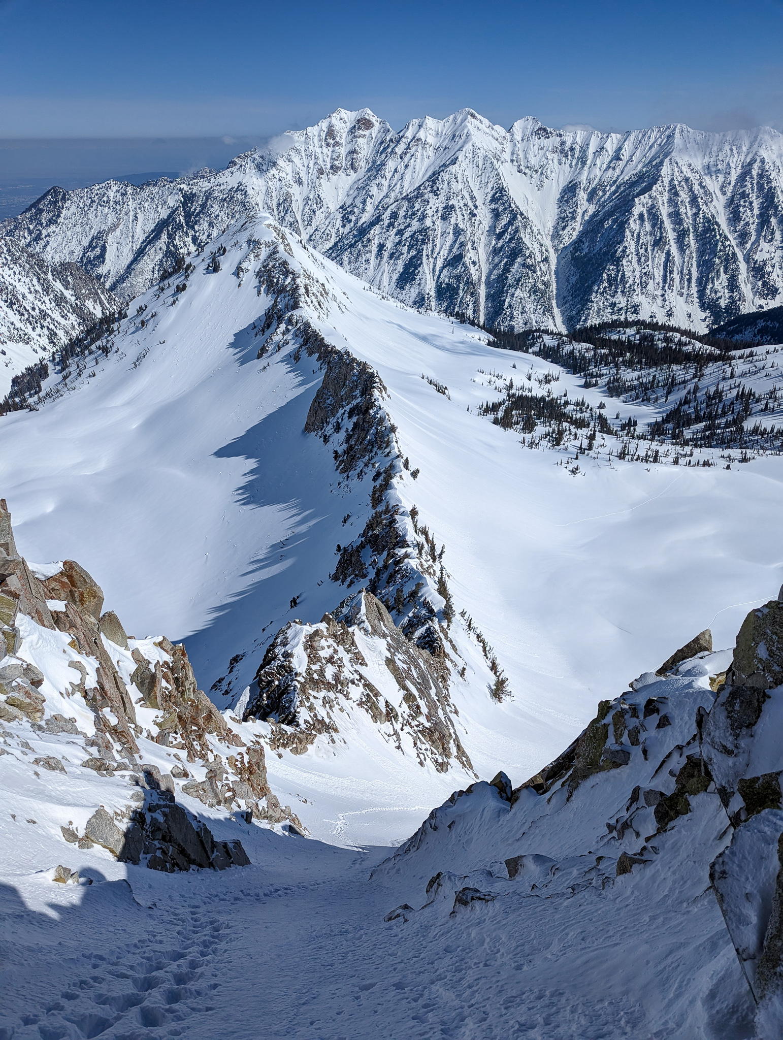
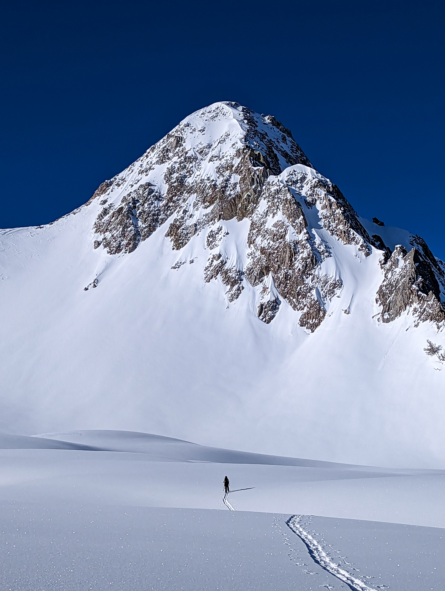
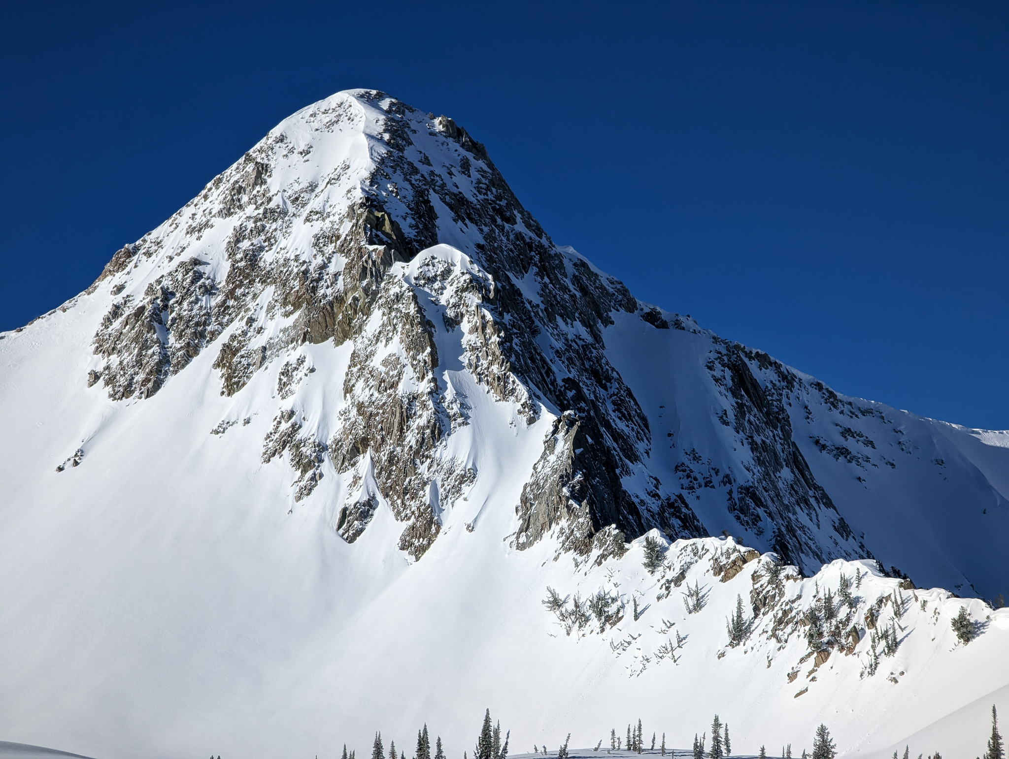
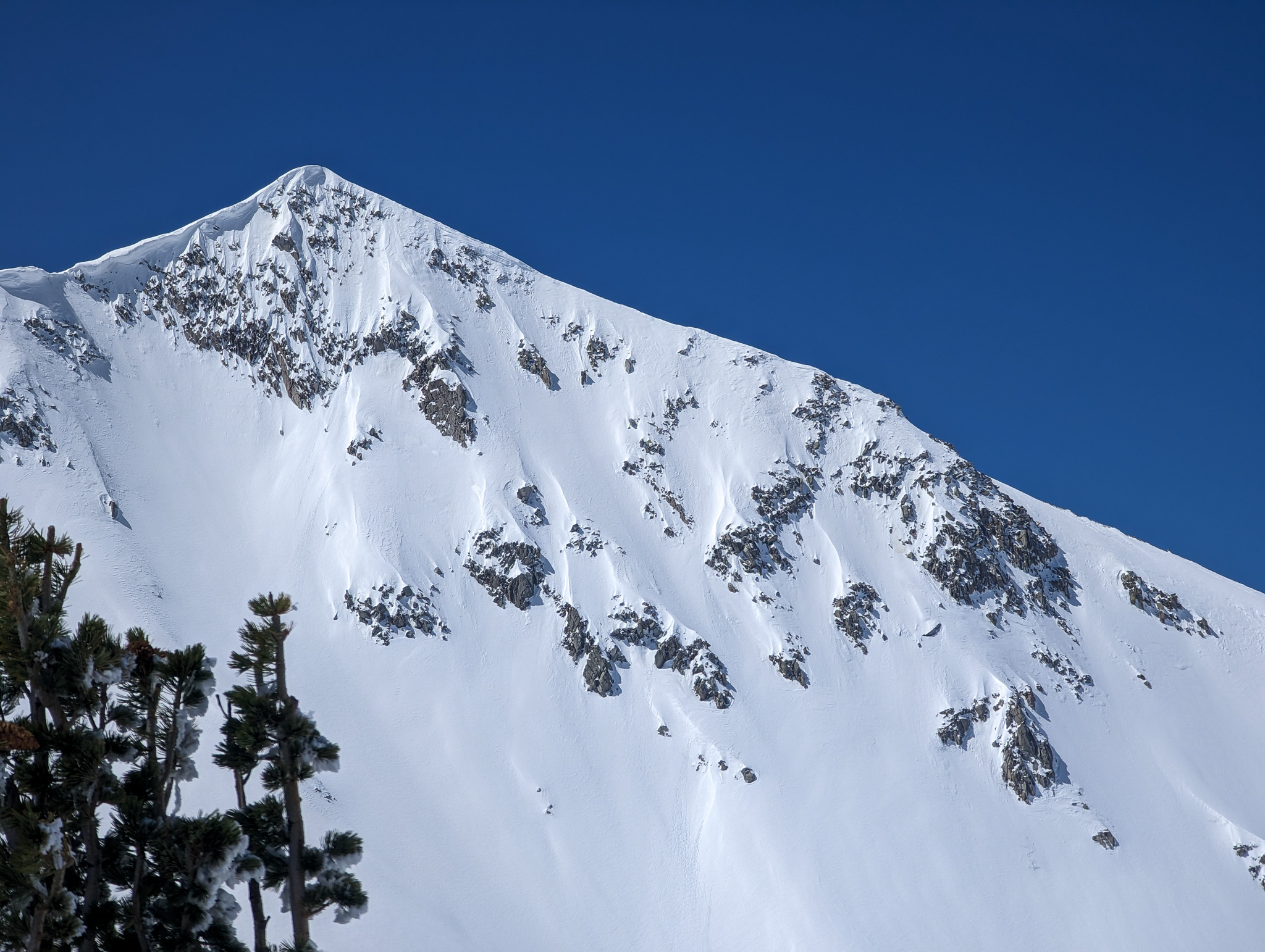
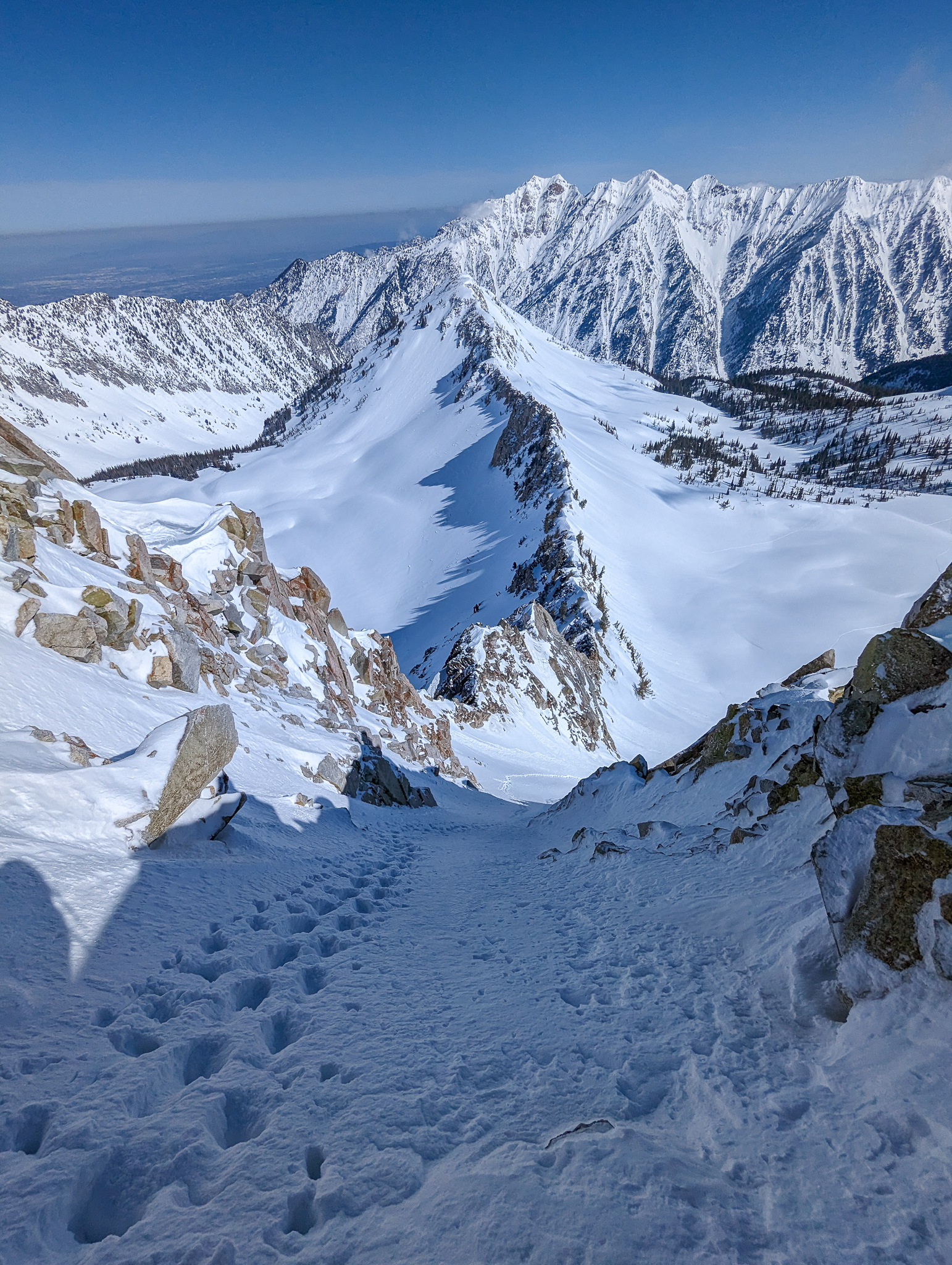
Once you finally escape the drainage and acquire the plateau, the Pfeifferhorn comes into view and it’s glorious.
It’s one of if not the most recognizable peaks in the Wasatch.
Little Matterhorn.
The thimble of the Pfeifferhorn doesn’t have a ton of relief, but it is striking in its pyramidal shape.
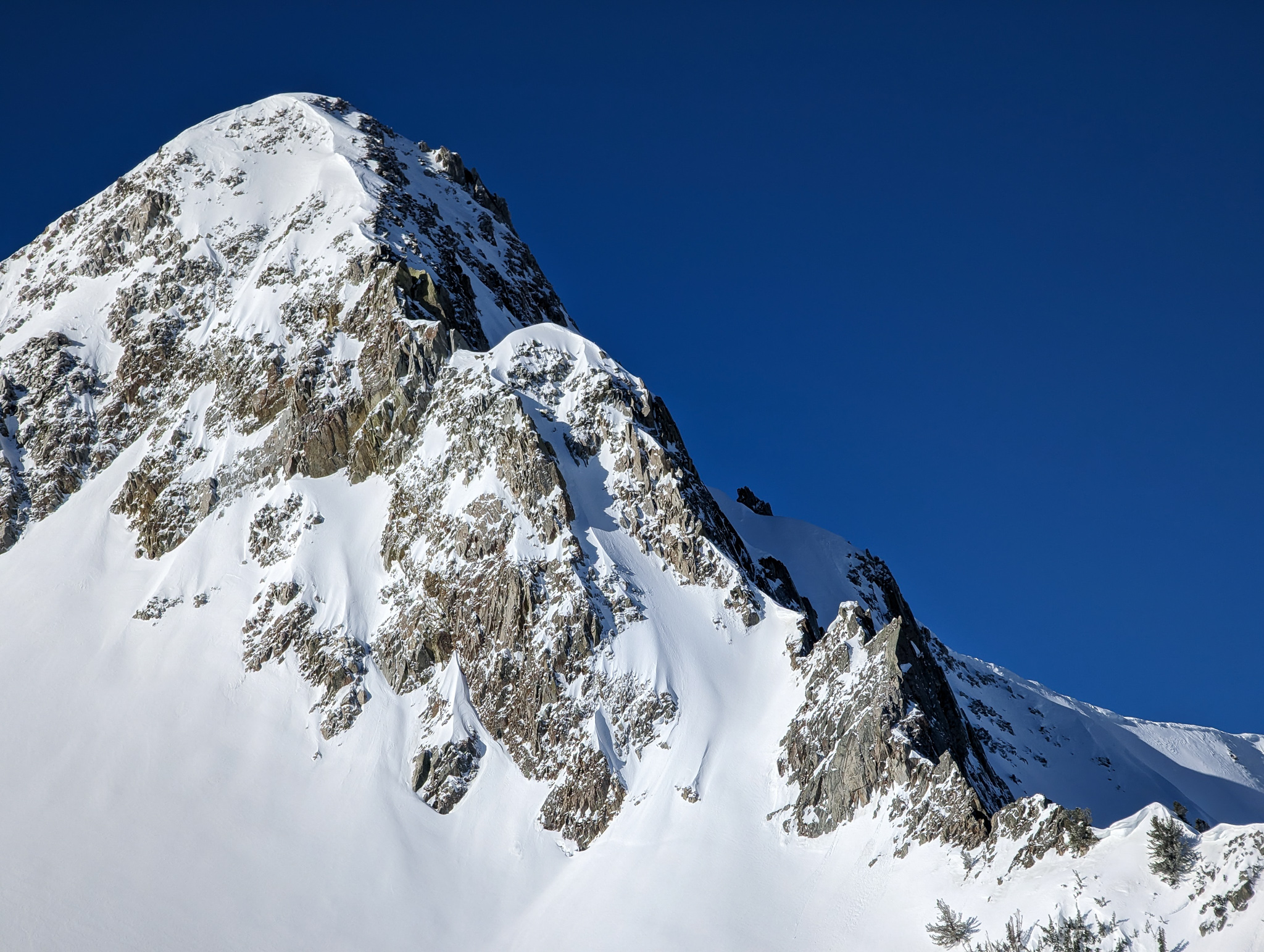
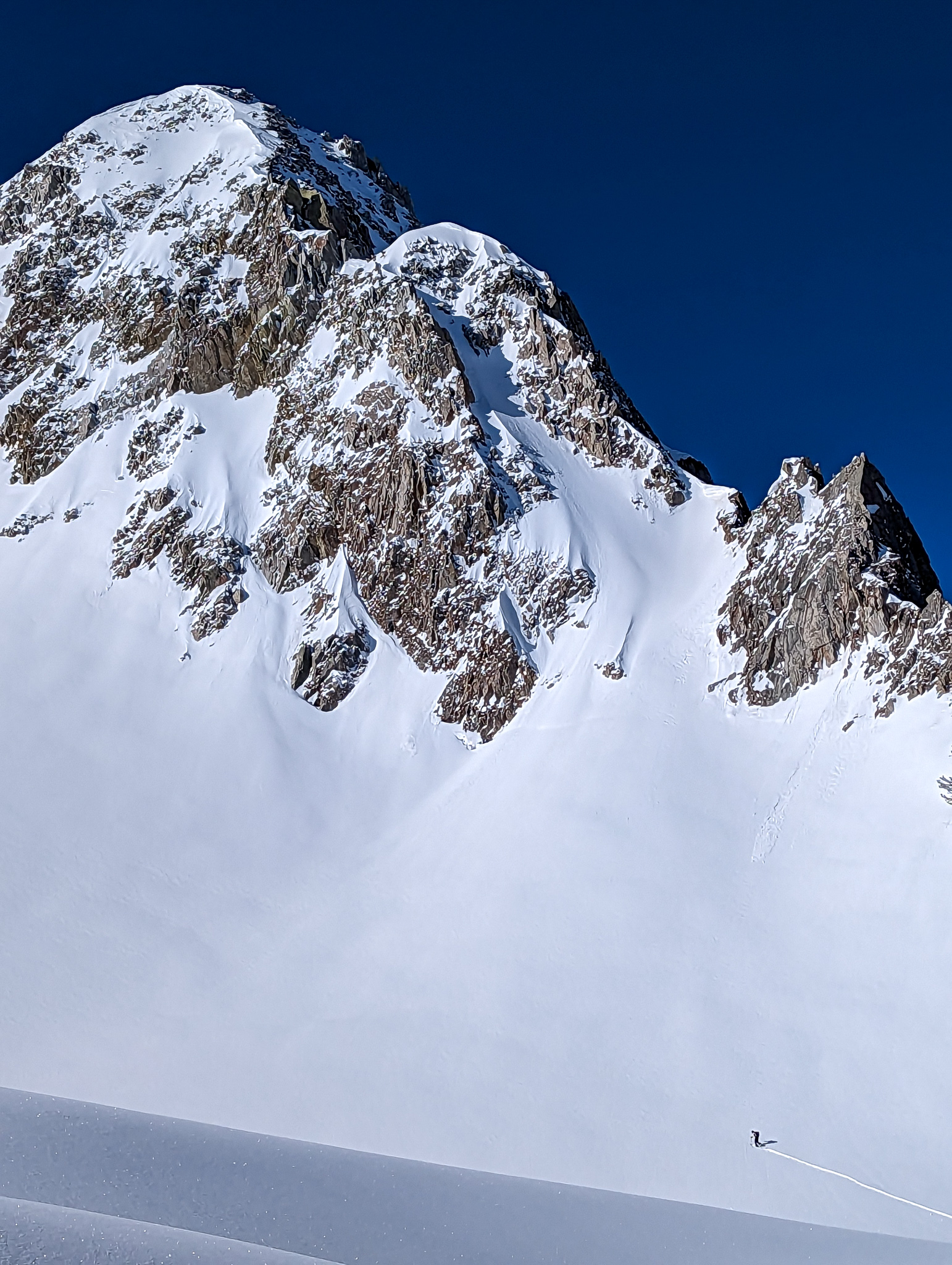
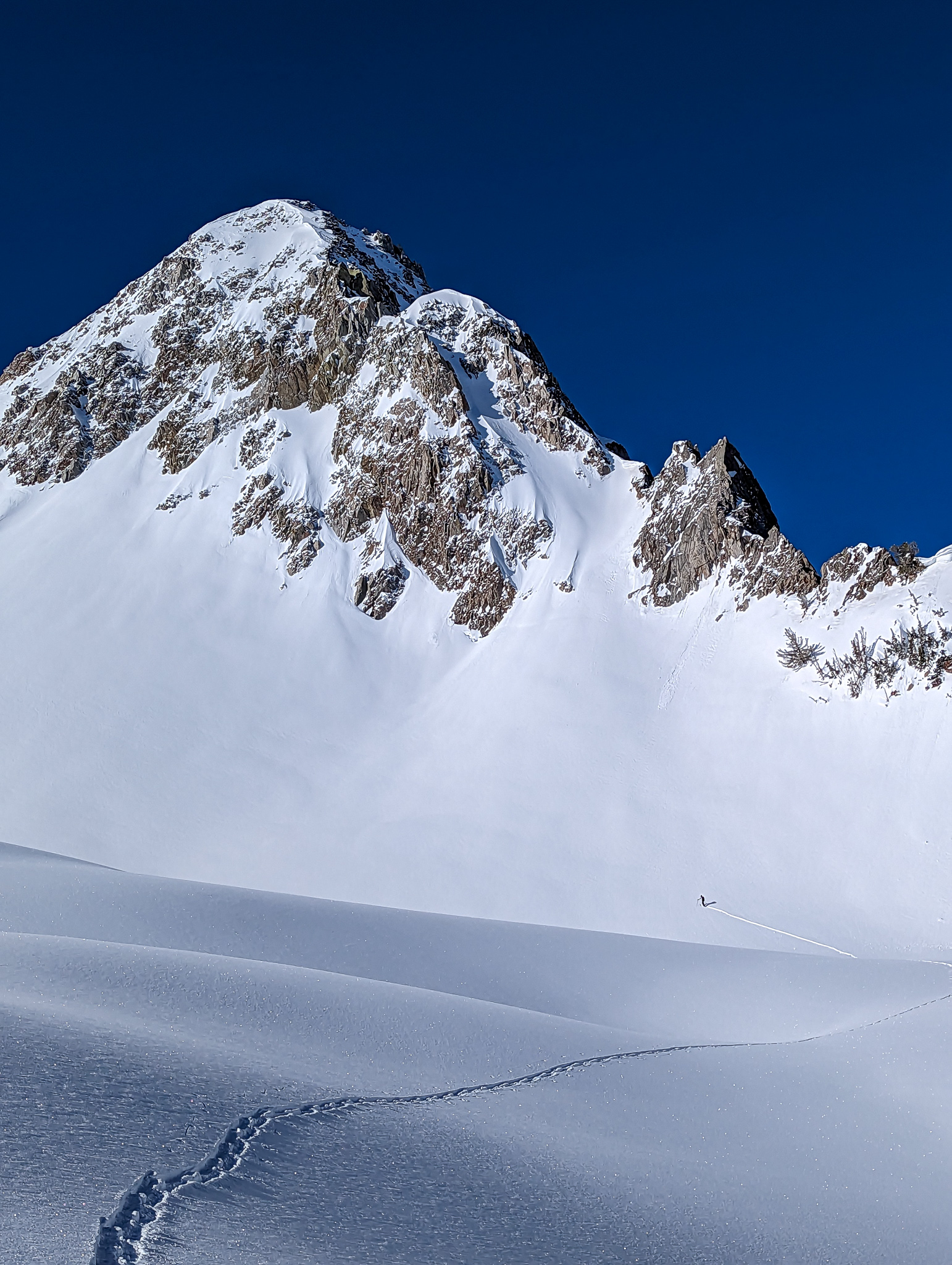
Once on the plateau, we pointed it straight at the North Colouir of the Pfeifferhorn which doesn’t come off the true summit.
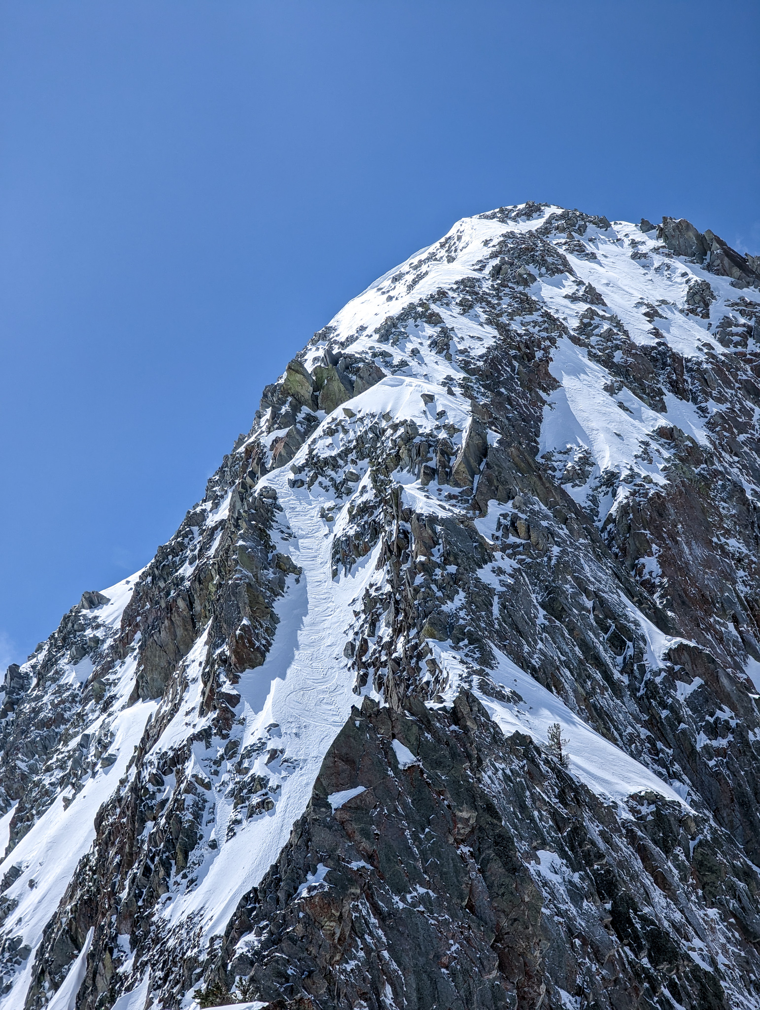
It comes off a sub-peak on the north side of the mountain.
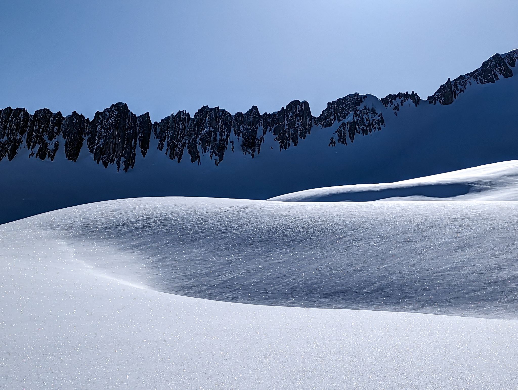
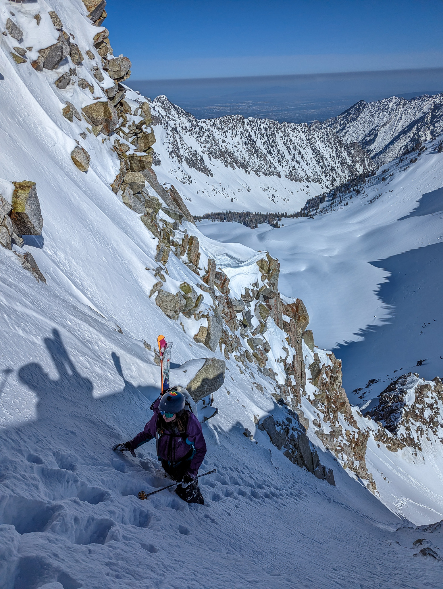
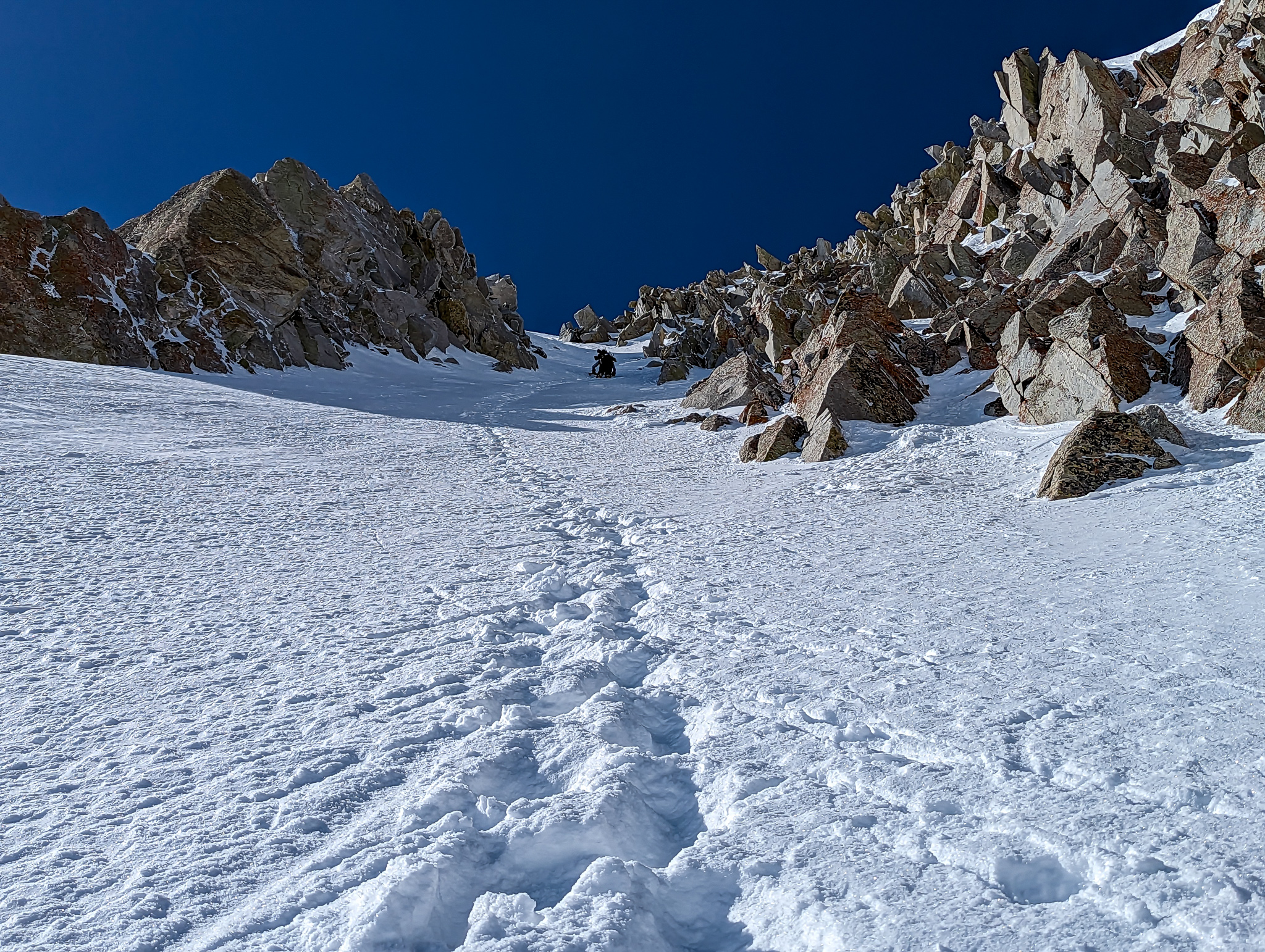
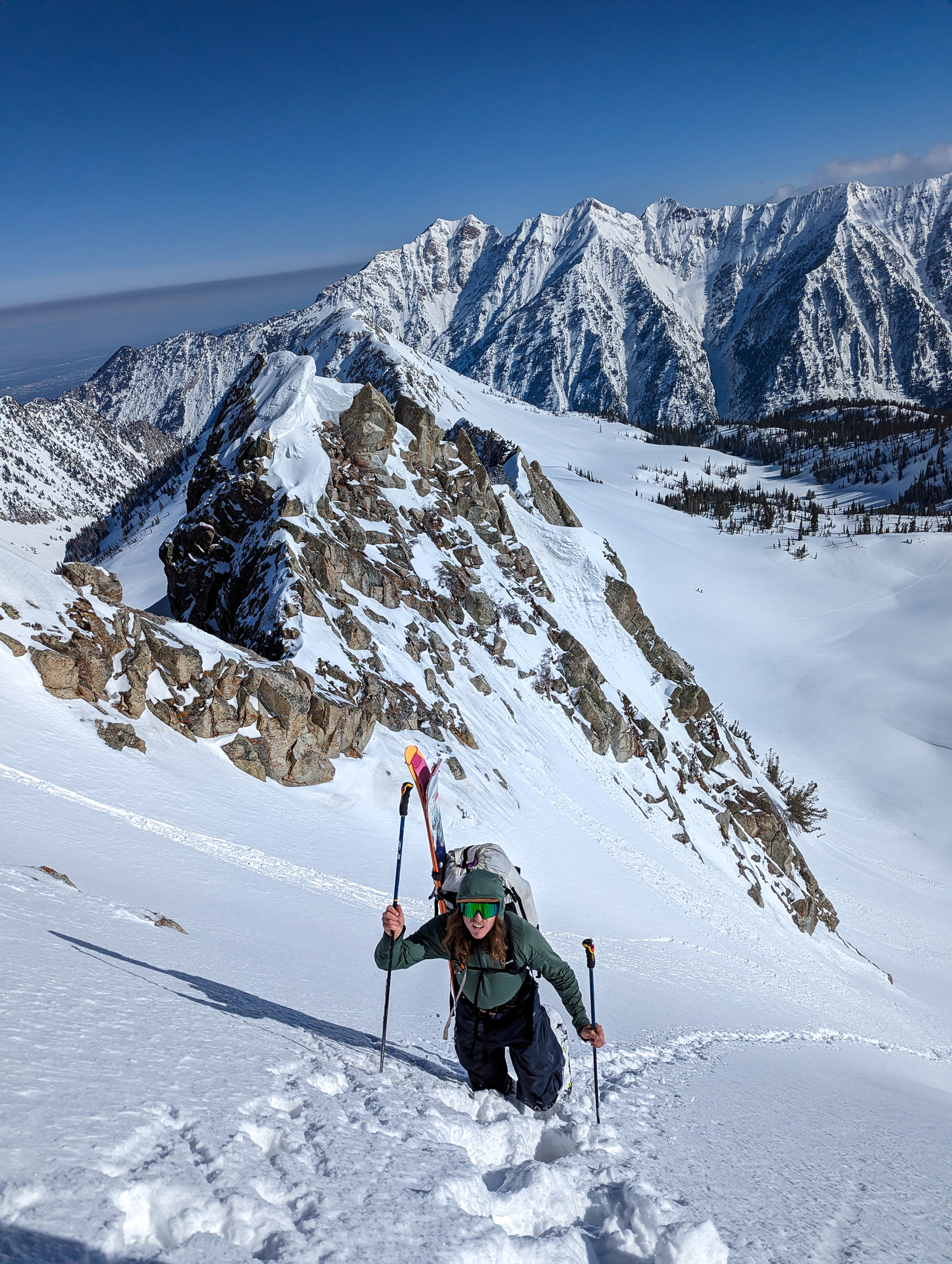
We skinned until it got steep then switched to crampons and ice axes.
It was deep to start and we were wallowing in knee-deep snow.
Once we got into the true steeps, the snow depth subsided and the crampons came in handy.
It was heady climbing with only one limb being repositioned at a time.
I only had one ice axe and I had a burning desire for two.
I flipped my ski pole upside down and plunged it as best I could to act as a second axe.
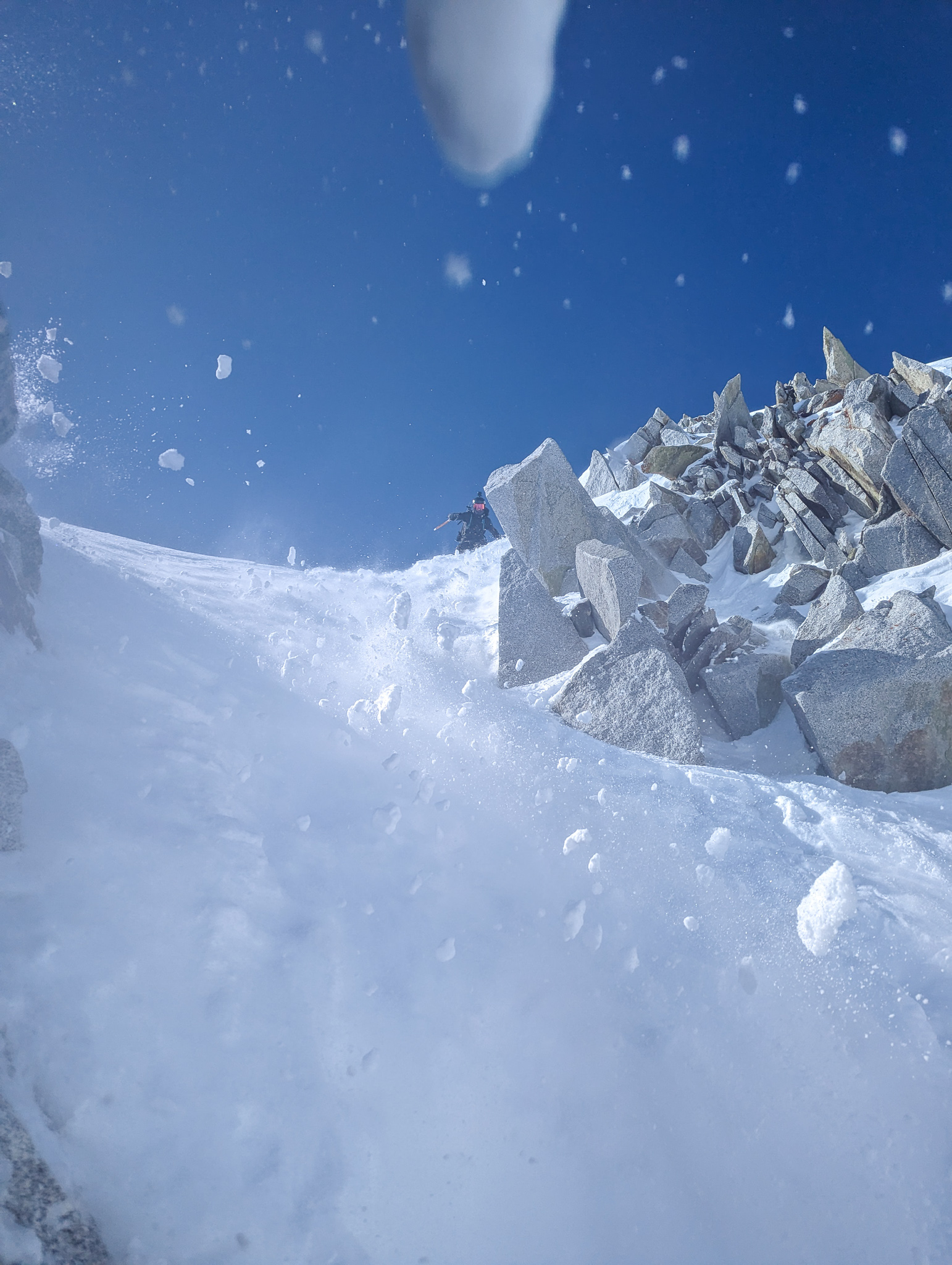
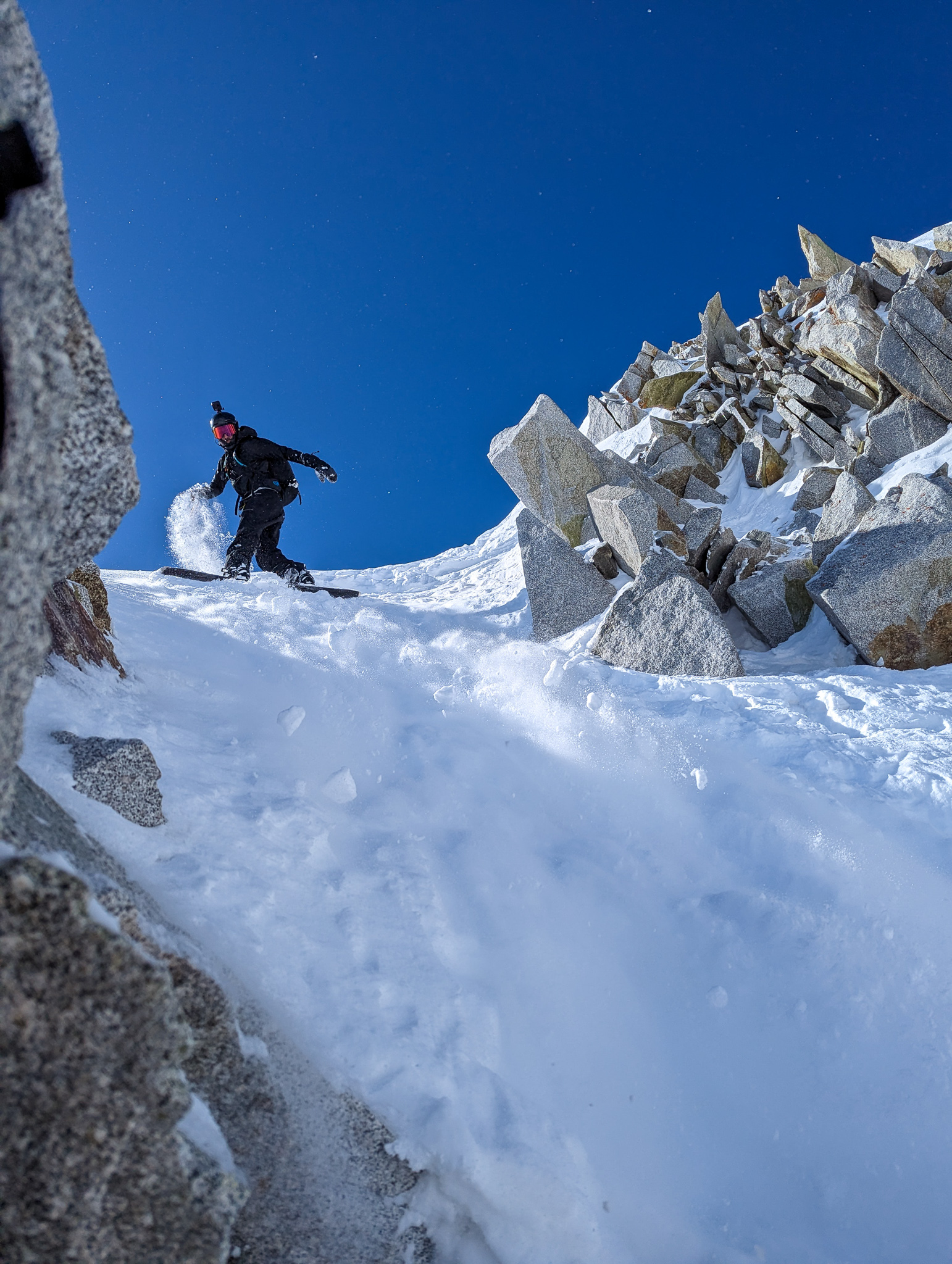
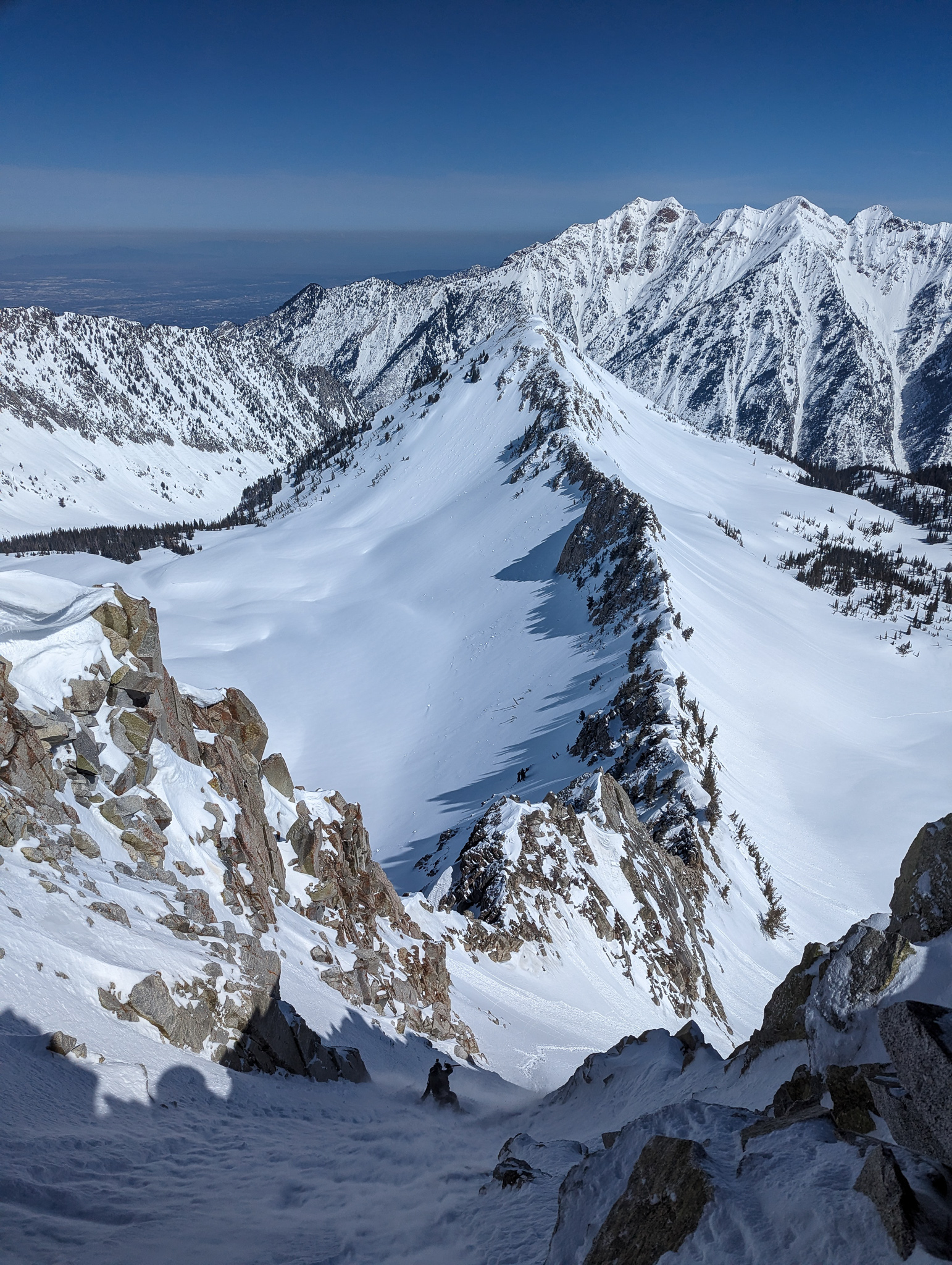
Slowly, carefully we edged our way to the top of the chute.
It was 50º steep, and there was nowhere to transition.
I build a platform with my shovel, and life instantly got better.
I carefully transitioned, bumped down, and let Martin use the same platform.
Juan had continued on around the corner and to the true summit of this subpeak.
Not recommended.
It’s exposed, a no-fall zone, and critical up there.
Juan crushed it, though.
After Juan dropped, it was my turn, and I sideslipped a bit before gathering the courage for my first turn.
Clank!
My turn ended in my ski tip slamming a rock.
It felt like the real deal.
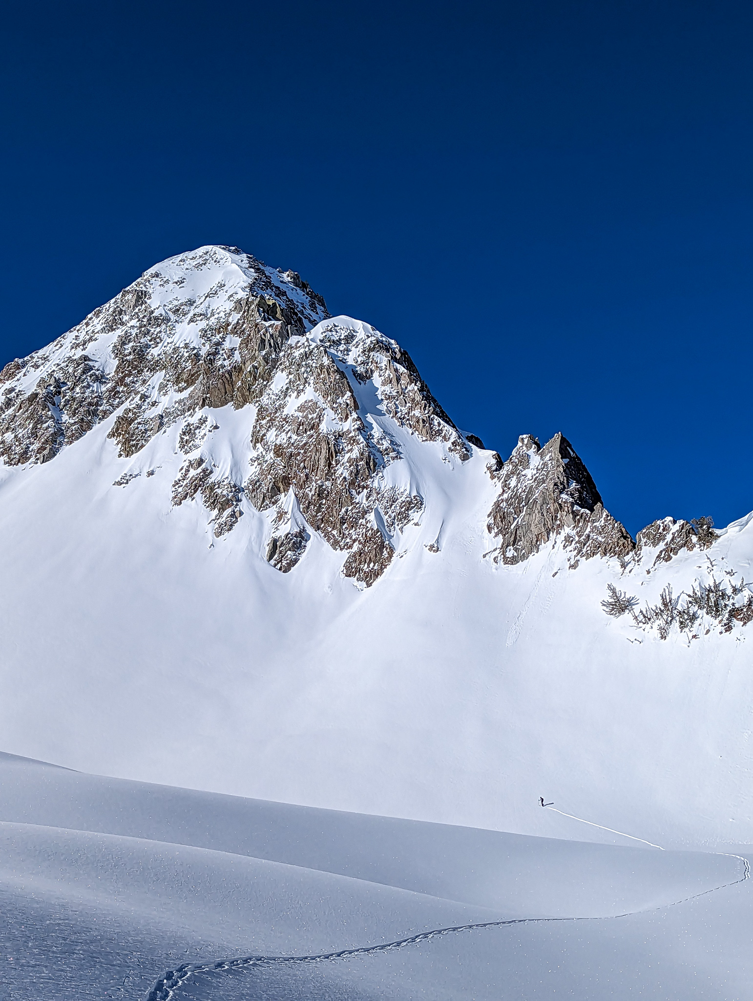
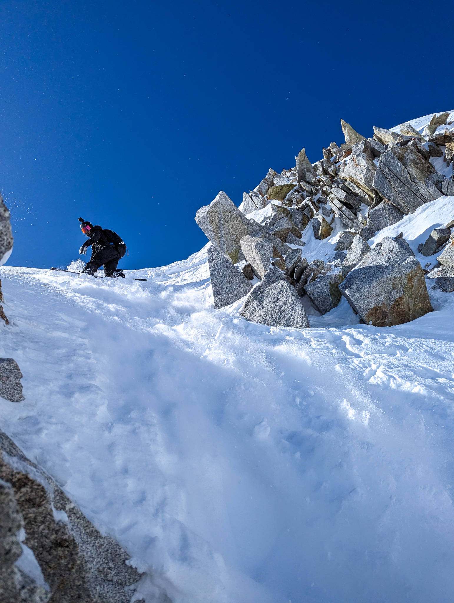
I cautiously slapped turns down the upper chute with thin, champagne sluff bubbling all around me.
Once past the narrowest part of the chute, I could link turns and find a rhythm.
The chute continued to open.
My fear continued to subside.
Eventually, I gained speed and watched the powder explode off skis to the right.
The snow felt good, so I pointed it toward the plateau and felt the wind in my teeth.
A hoot was obligatory.
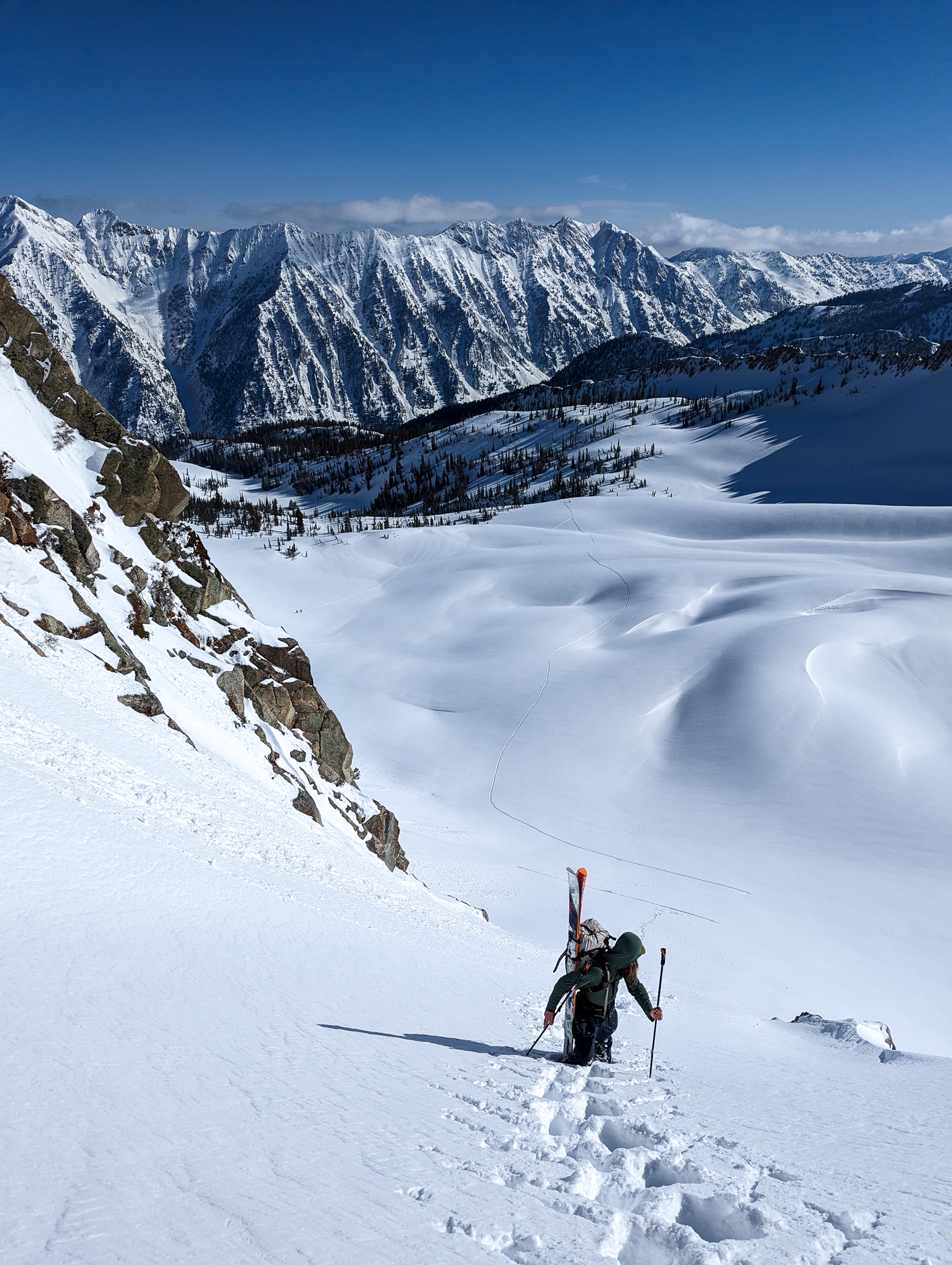
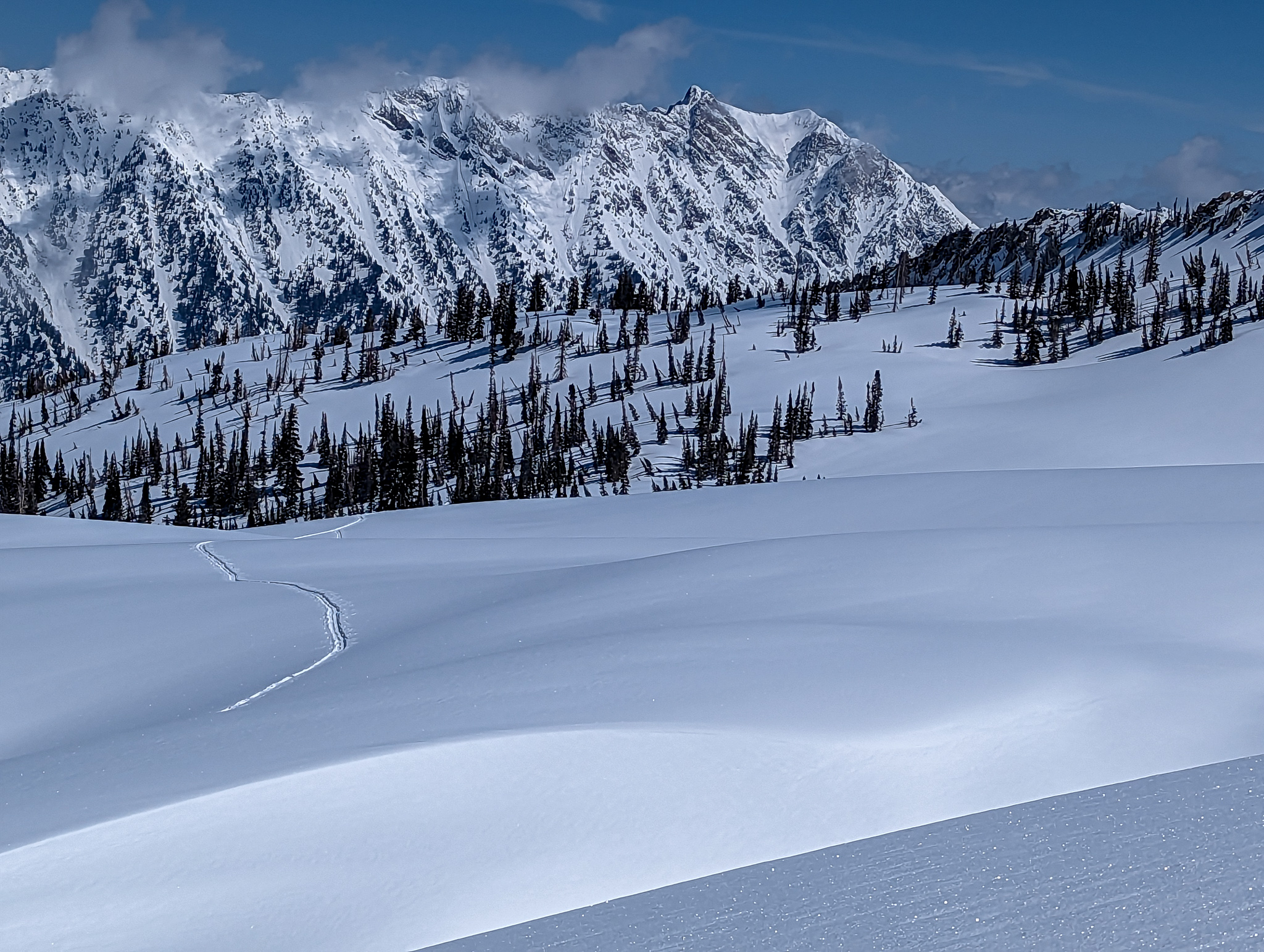
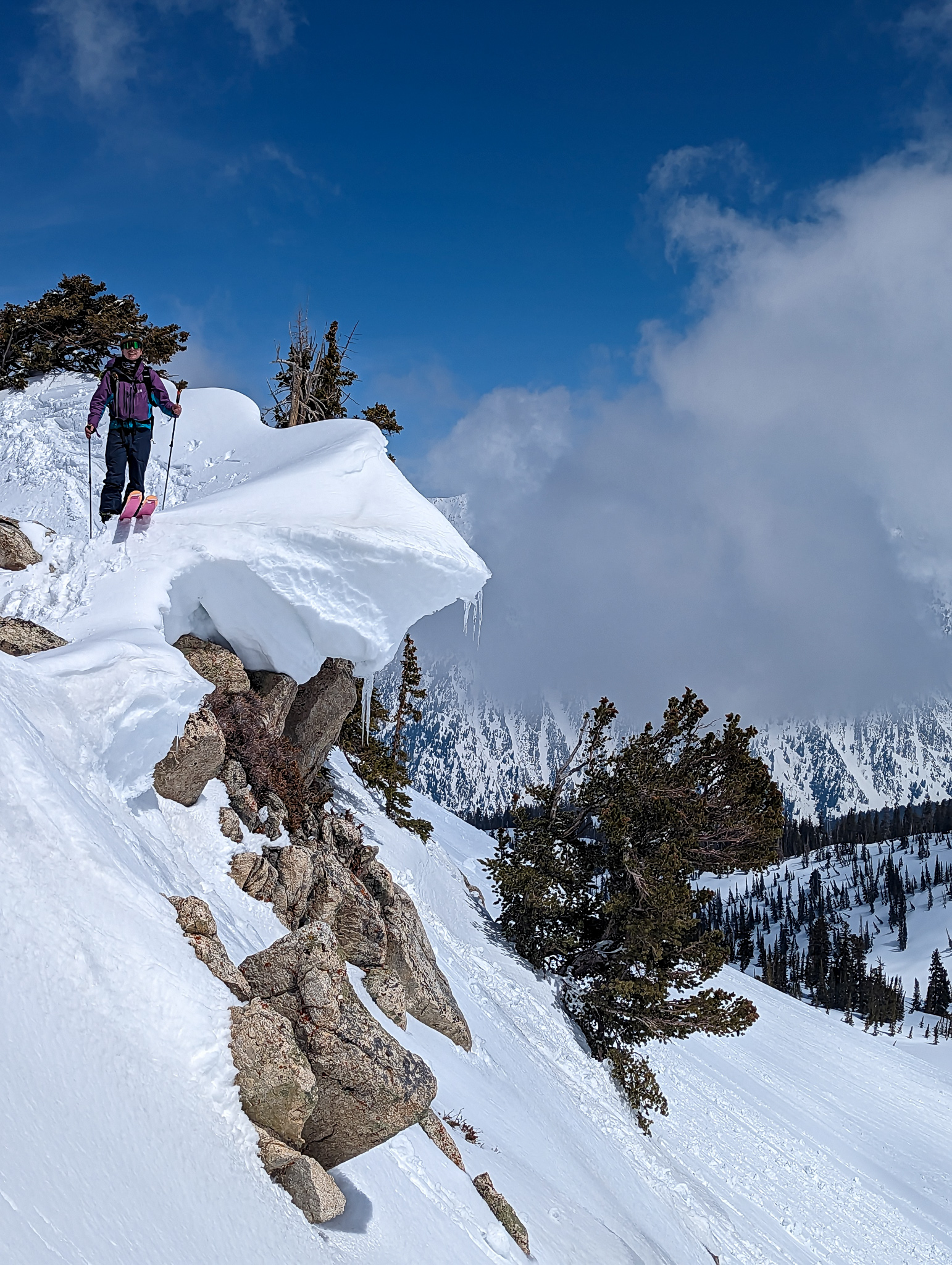
Our default plan was to skin up and over to Airplane Peak and ski its north face.
It was getting very hot at this point, and the red flag was too much for me to ignore.
Martin & I headed home, and Juan went for Airplane (and it ended up well).
We skied down on the skin track and made almost no turns.
The fresh snow from the previous day had cooked into a nasty, sticky medium that taxed both body and soul.
After a lot of slow straightlining, some side-stepping, and sticky turns, we made it back to the parking lot unscathed.
Gosh, I really don’t love hiking out of White Pine Trailhead…
So damn flat!
But it was worth it this time.
That North Couloir is pretty neat.
PHOTOS IN CHRONOLOGICAL ORDER