This climb can be dangerous and is not recommended for anyone who does not have sufficient experience.
Report from Wednesday, 5th August 2020
We got an early start this morning, leaving home in Snowmass Village at 4:00 am. We drove towards Aspen and turned onto Castle Creek Road. We drove to the end of the paved road past Pine Creek Cookhouse. Where the paved road ends, the unpaved section of Castle Creek Road toward Pearl Pass, which is very rocky and bumpy, begins. The road is full of rocks, ruts, streams pretty much everything the mountains could throw at you!
After a little more than an hour of driving, we reached the fork in the road where Castle Creek Road splits into Pearl Pass Road and Montezuma Road. Montezuma road, which leads to the base of Montezuma Basin, is extremely rocky and is impassable with some vehicles. We opted to not take the risk and walk the road up to the basin.
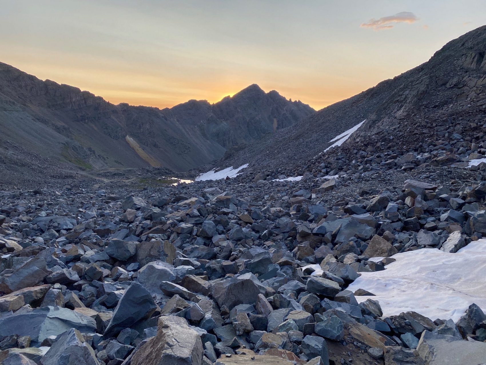
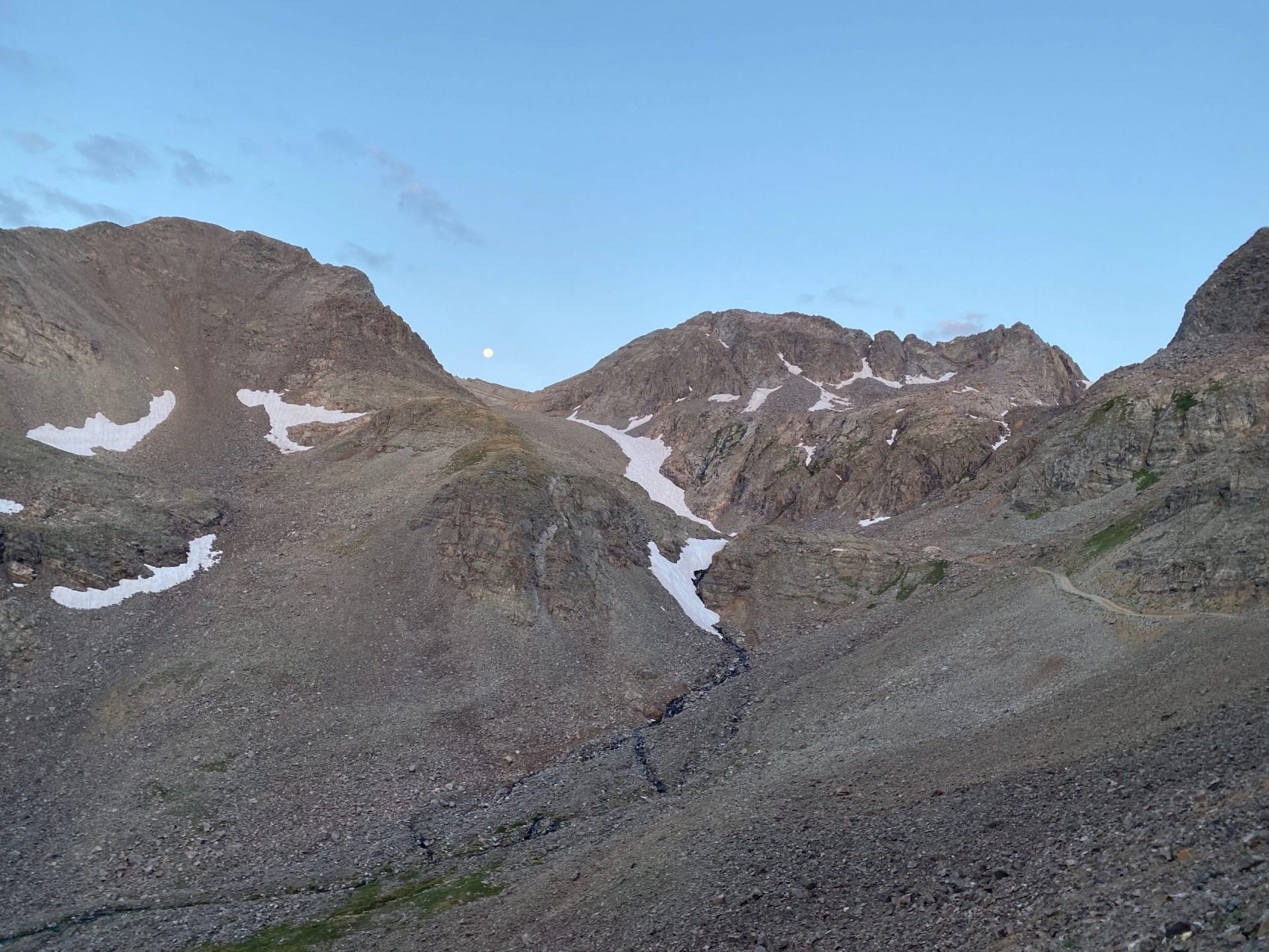
We began walking at 5:30 am and reached the top pullout at around 6:20 am. From the top of the road, we continued southwest towards the lowest snowfield. The bottom of the snowfield was about 5 minutes from the top of the road.
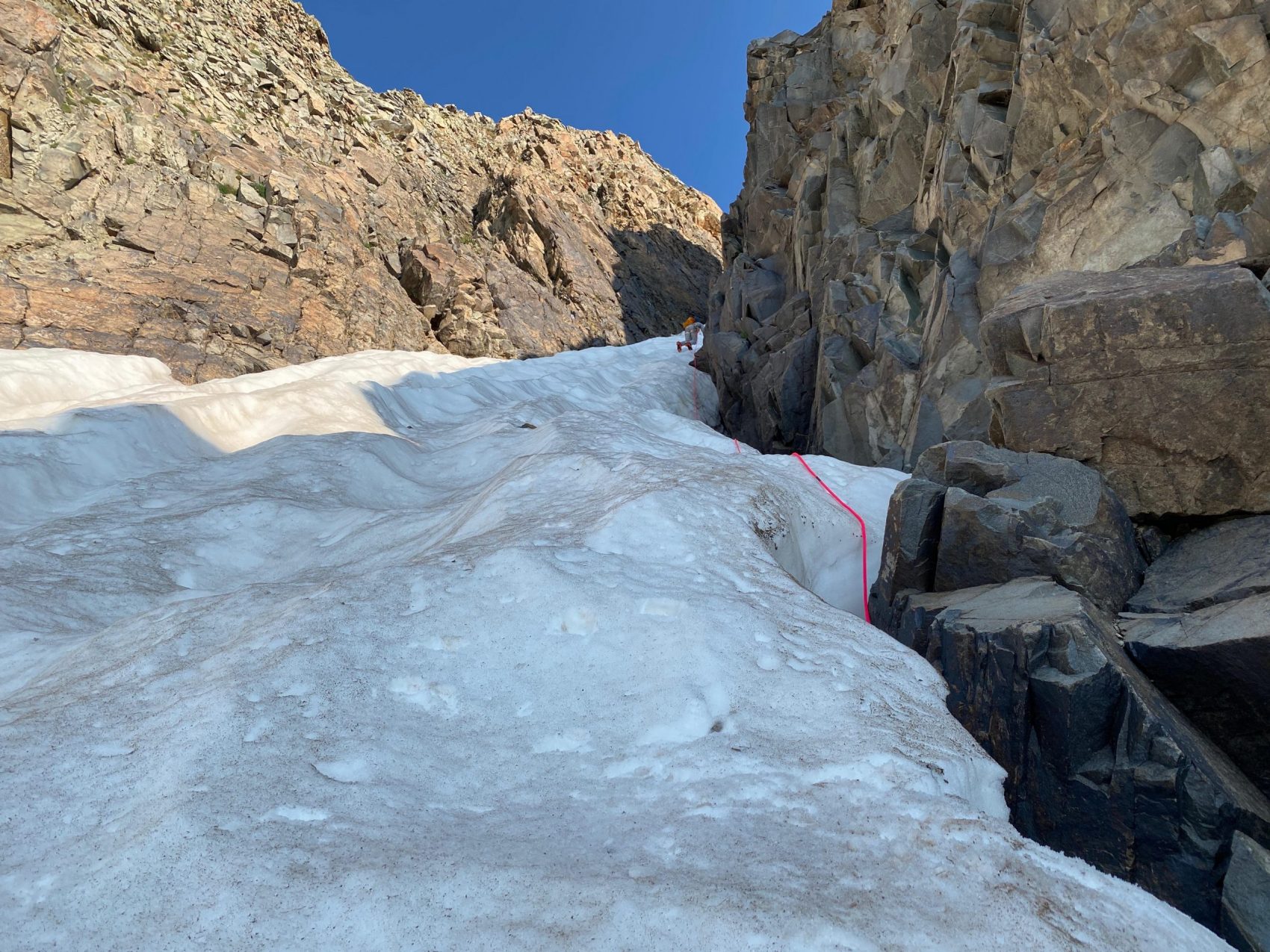
Once we got to the bottom of the snowfield, we took a quick break to take off layers, get some water, get on our crampons, and take out one of our ice axes. The snowfield wasn’t super steep, which made it easy to navigate to the top of, where it flattened out briefly before steepening again to the bottom of the Conundrum Couloir.
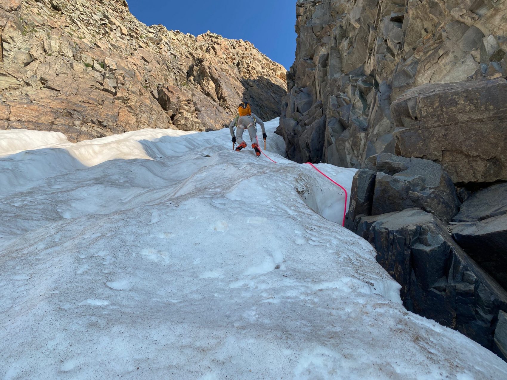
The snowfield was separated from the bottom of the couloir by a patch of rocks about 30 feet long, and since we had steel crampons, we didn’t bother taking them off. We gingerly stepped our way to the bottom of the couloir and got our harnesses on, got our second axe, pulled out our rope, and got going.
We set 4 anchors total up the couloir, which was about 500 vertical feet long. At this time of year, the snow is completely consolidated, so it was firm despite warm temperatures. We were able to use low dagger axe holds with the American cramponing technique for most of the couloir, although there were a couple of sections that got mashed potatoey from the early sun. In those sections, there’s not much more we could do to prevent slipping other than Austrian cramponing with cane axe holds.
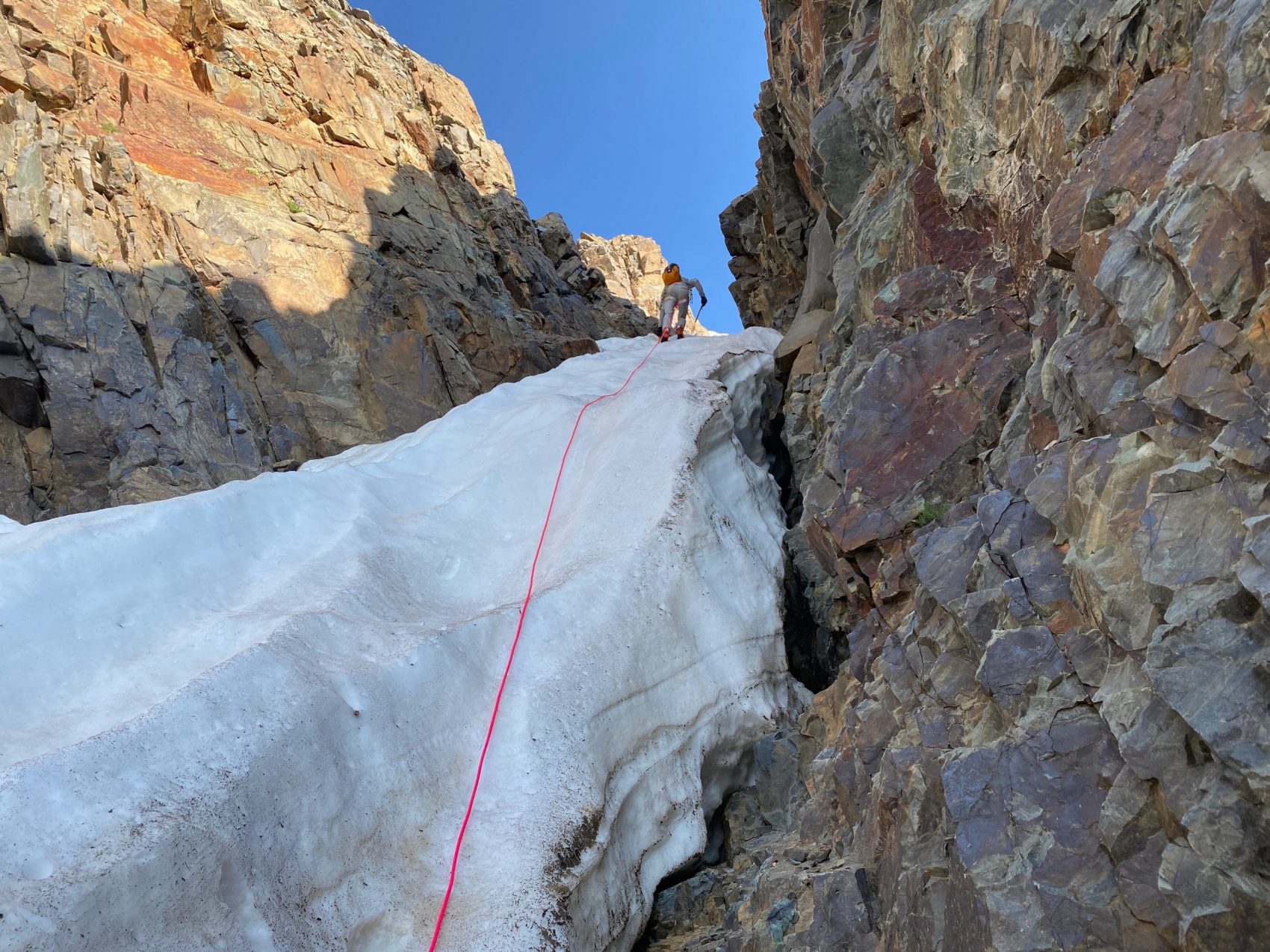
We topped out on the couloir, and took off our crampons and stowed our axes on our packs. It was a short 5-minute rock scramble to the summit of Conundrum Peak (14,040′), where we spent about 10 minutes at the top getting some food and water.
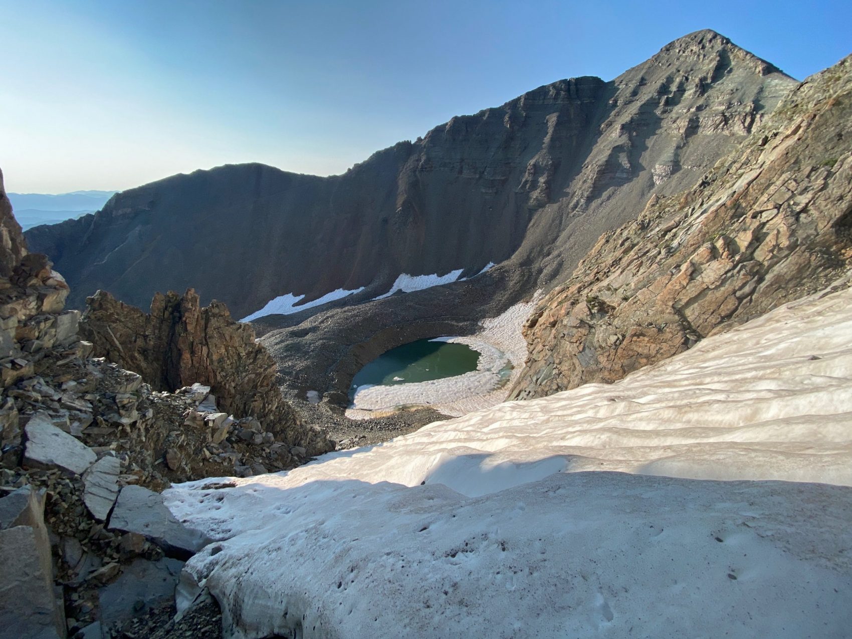
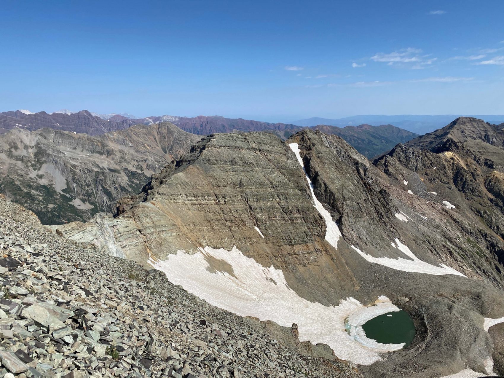
We descended back down to the couloir, which sits in a saddle right between North and South Conundrum Peak. We scrambled up to the summit of South Conundrum and dropped down the southeast ridge that leads to the saddle between Castle Peak and Conundrum Peak. The rock was loose and footing was poor, which forced us to really pay attention to foot placement.
We reached the saddle and began ascending Castle Peak’s northwest ridge. The rock was the same, loose and slowgoing, but nothing that required ropes. We finally topped out on Castle Peak (14,278′), where we were met by 10 people standing on the summit. We quickly moved to the other side of the summit (social distancing!) to grab a bite to eat and water before descending down Castle Peak’s northeast ridge. The rock was loose and the ridge was exposed, falling off hundreds of feet on either side, which made us pay extra attention to our footing.
We finally got back down into the bottom of Montezuma Basin, where we linked some glissades down a few snow patches back down to the top pullout of Montezuma Road. We walked the 2.25 miles back down the road to the car and wrapped up a super awesome day. Two 14ers in one day!
Conundrum/Castle
Linkup via Conundrum Couloir Details:
- Car 11,100′ at Pearl Pass/Montezuma Road fork
- Vertical Climbed 3,500′
- Distance: 7-miles round trip
- Car to Car Time: 6 hours
- This climb can be dangerous and is not recommended for anyone who does not have sufficient experience.
Nice dudes! Gnarly!